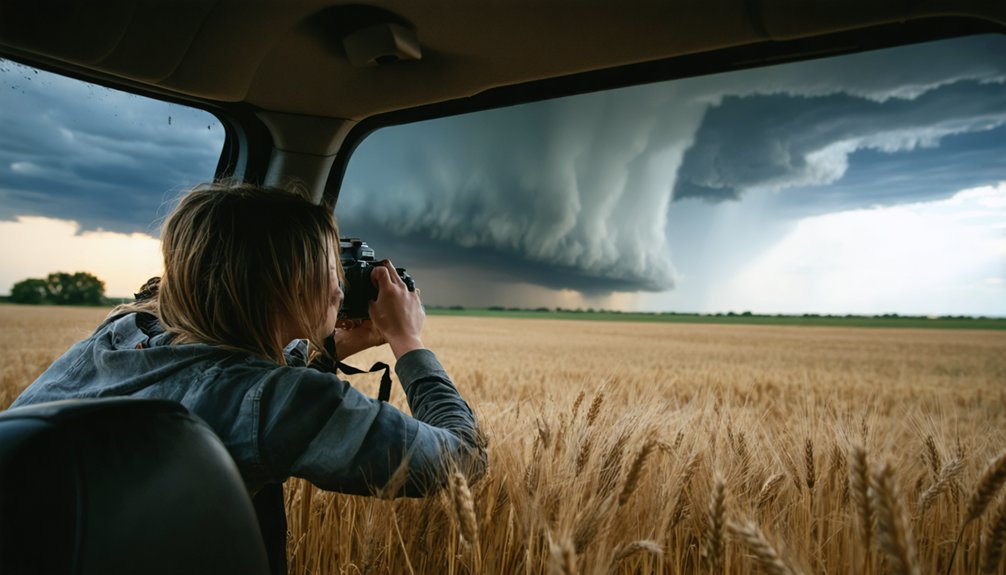
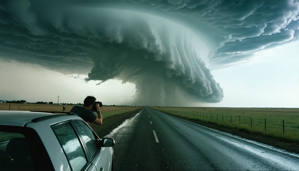
Before you chase your first storm, you need to master the language that keeps you safe and effective. Terms like supercell, mesocyclone, BWER, and bow echo aren’t just jargon—they’re operational intelligence. You’ll use the Enhanced Fujita Scale to assess tornado intensity and radar signatures to confirm rotation. Understanding a bust, core punch, or bailout could save your life. The terminology below breaks down everything you need to know.
Key Takeaways
- A bust is when a chase yields no severe weather, reminding beginners that understanding atmospheric dynamics is critical for predicting storm activity.
- Tornado Alley, spanning Texas to the Dakotas, is the most active U.S. region for tornado chasing opportunities.
- A funnel cloud only becomes a tornado once it makes contact with the ground.
- Bow echo radar signatures indicate damaging winds, while BWER confirms strong supercell updrafts and hail potential.
- The Enhanced Fujita Scale (EF0–EF5) rates tornado intensity by damage, ranging from 65 mph winds to exceeding 200 mph.
What Is Storm Chasing and Who Does It?
Storm chasing is the deliberate pursuit of severe weather events—tornadoes, supercells, and intense thunderstorms—driven by motivations ranging from scientific data collection to media coverage and personal adventure. You’ll encounter chasers operating across a wide spectrum: researchers quantifying meteorological phenomena, journalists documenting storm impacts, and independent enthusiasts documenting nature’s extremes firsthand.
Storm chasing spans a spectrum—scientists, journalists, and thrill-seekers all converging on nature’s most violent atmospheric events.
Tornado Alley—spanning Texas northward through the Dakotas—serves as the primary operational theater, given its high frequency of severe thunderstorm activity. Whether you’re chasing professionally or recreationally, understanding atmospheric dynamics isn’t optional; it’s foundational.
Safety precautions aren’t secondary considerations—they’re mission-critical. Experienced chasers continuously evaluate storm structure, road networks, and escape routes. Poor decisions in the field carry severe consequences.
Knowing the terminology before you chase gives you a measurable operational advantage.
Core Storm Chasing Terms Every Beginner Should Know
Before you log a single mile on a chase, you’ll need a working command of the vocabulary that defines the discipline. These terms directly shape your decisions in the field, from storm safety positioning to capturing clean storm photography.
Start with these four foundational terms:
- Storm chasing – deliberate pursuit of severe weather for scientific, media, or personal purposes.
- Severe thunderstorm – your primary target; produces damaging winds, large hail, or tornadoes.
- Tornado Alley – the central U.S. corridor where tornado frequency peaks.
- Bust – a failed chase where anticipated severe weather never materializes.
Mastering these terms gives you an operational baseline. You’ll communicate more precisely with other chasers, interpret forecasts faster, and position yourself smarter when conditions evolve rapidly.
Storm Structure Terms: Supercells, Wall Clouds, and Anvils
Anvil cloud dynamics reveal storm strength: a sharp, dense anvil edge indicates a vigorous updraft pushing ice crystals into the tropopause.
A sharp anvil edge signals a powerful updraft—ice crystals forced hard against the tropopause, revealing storm intensity.
A ragged anvil suggests a weakening system.
The BWER on radar confirms powerful inflow driving hail formation, as supercell updrafts suspend large hailstones aloft before they fall.
A funnel cloud extending from the base hasn’t touched ground yet—confirm ground contact before calling it a tornado.
Precision in identification keeps you mobile and positioned correctly.
Tornado Warnings and How the Enhanced Fujita Scale Works
When the National Weather Service issues a tornado warning, you’re being told a tornado is either radar-confirmed or visually spotted within a defined area, requiring immediate action.
You’ll use the Enhanced Fujita Scale—ranging from EF0 to EF5—to assess a tornado’s intensity based on observed damage indicators rather than direct wind measurements.
Each EF rating maps to estimated wind speed ranges: EF0 starts at 65–85 mph, while EF5 exceeds 200 mph, giving you a data-driven framework for understanding a tornado’s destructive capacity after the fact.
Understanding Tornado Warnings
As a storm chaser, you’ll encounter two critical systems that shape your situational awareness in the field: tornado warnings and the Enhanced Fujita Scale. Mastering both keeps your storm safety sharp and your response to weather alerts precise.
A tornado warning means a confirmed or radar-indicated tornado is imminent. Know these four warning elements immediately:
- Issuing authority — National Weather Service issues all official warnings.
- Geographic boundaries — Warnings target specific counties or zones.
- Duration — Warnings specify active time windows.
- Confirmation method — Radar-indicated versus confirmed ground truth matters operationally.
You’re operating in dynamic, high-risk environments where seconds count. Treat every warning as actionable intelligence, not background noise. Cross-reference your radar data with official weather alerts before committing to any chase position.
Enhanced Fujita Scale Explained
Once a tornado warning is issued, you’ll need a damage-rating framework to interpret post-event reports and contextualize storm intensity: the Enhanced Fujita Scale. Implemented in 2007, the EF scale replaced the original Fujita Scale after EF scale calibration efforts revealed inconsistencies in wind speed estimates tied to structural damage indicators.
The scale runs from EF0 to EF5, correlating wind ranges to 28 damage indicators across structures and vegetation. EF0 begins at 65–85 mph; EF5 exceeds 200 mph.
Historical tornado analysis draws heavily on this framework to reconstruct storm intensity when direct wind measurements don’t exist.
You’ll encounter EF ratings in post-storm surveys, research datasets, and chase debriefs. Understanding each threshold lets you assess a tornado’s destructive potential with precision rather than relying on vague impressions.
EF Ratings and Damage
Each EF rating maps directly to estimated 3-second gust wind speeds and corresponding damage indicators, giving you a structured framework for interpreting post-storm surveys. Understanding EF scale categories lets you assess storm damage objectively and communicate findings accurately.
- EF0 (65–85 mph): Minor storm damage—broken branches, shallow-rooted trees uprooted, minor roof damage.
- EF1 (86–110 mph): Moderate damage—roof surfaces peeled off, mobile homes overturned, moving vehicles pushed off roads.
- EF2 (111–135 mph): Considerable damage—well-constructed homes sustain major roof and wall loss, large trees snapped.
- EF3–EF5 (136–200+ mph): Severe to catastrophic storm damage—entire stories demolished, vehicles airborne, total structural destruction at EF5.
You’ll use these benchmarks independently, without relying solely on official post-storm assessments.
Storm Chasing Radar Terms Worth Understanding
When you’re reading radar signatures, you’ll want to recognize key features like the bow echo, which signals damaging wind potential, and the BWER, which indicates powerful inflow within a supercell.
These signatures give you actionable data on storm intensity and structure before you commit to a chase position.
You also need to account for common radar anomalies like AP, where unusual beam behavior produces false echoes that can mislead your storm identification entirely.
Reading Radar Signatures
Reading radar effectively can separate a productive chase from a dangerous one. You’ll need to interpret key signatures quickly to stay ahead of developing threats.
Master these four radar fundamentals:
- Radar reflectivity — Measures precipitation intensity; deep reds and purples indicate heavy rain or hail cores worth avoiding.
- Storm velocity — Reveals rotation; opposing colors side-by-side signal mesocyclone development and potential tornado formation.
- Bow echo — A curved reflectivity signature warning you of damaging straight-line winds pushing ahead of the line.
- BWER — A notch of weak reflectivity cutting into a storm’s core, confirming powerful inflow and supercell strength.
Cross-referencing reflectivity and velocity data together gives you the clearest, most actionable picture of what a storm’s doing in real time.
Common Radar Anomalies
Not every radar echo you see reflects an actual storm. Anomalous propagation, or AP, occurs when the radar beam elevation bends abnormally through the atmosphere, producing false echoes that mimic precipitation. These ghost returns can mislead you into chasing nothing.
False echo differentiation requires you to cross-reference radar data with surface observations, satellite imagery, and dewpoint readings. AP signatures typically appear stationary, lack storm structure, and don’t align with reported weather.
They’re most common during stable, clear nights when temperature inversions bend the beam toward the ground. You’ll also encounter ground clutter near the radar site, which filters out poorly in some displays.
Developing your ability to identify these anomalies early prevents wasted chase days and strengthens your overall radar interpretation skill set.
Core Punching, Bail Outs, and Chase Positioning Explained
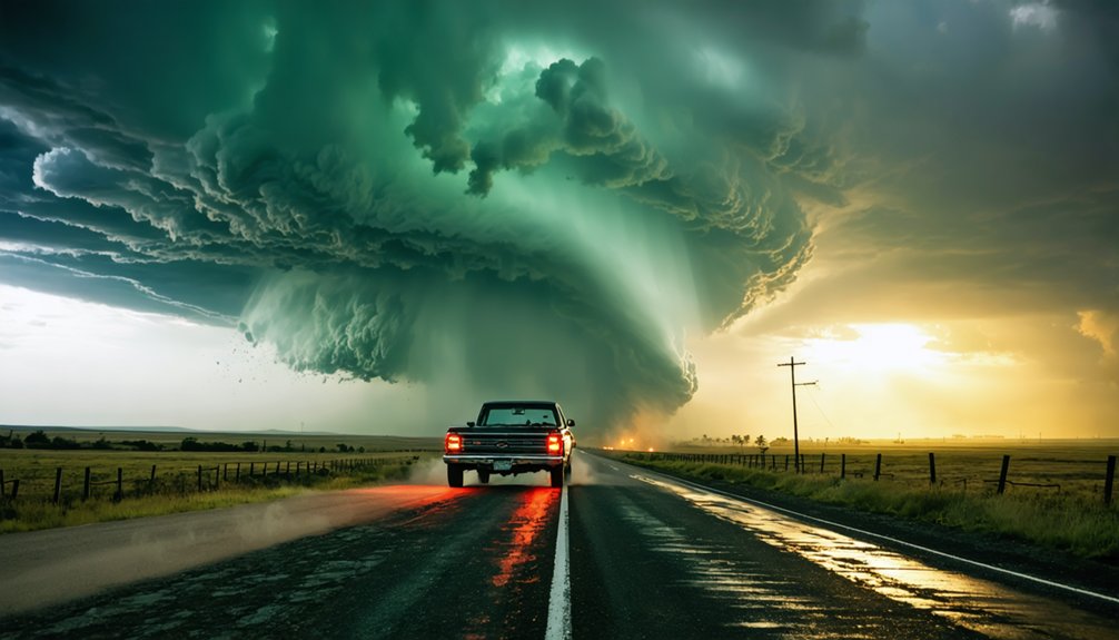
Chase positioning, core punching, and bail outs form the operational backbone of any field chase, directly determining both data quality and personal safety. Mastering these skills gives you the freedom to operate confidently in volatile environments.
- Chase position: Select locations offering clear sightlines for storm photography while maintaining escape routes.
- Core punching: Driving through intense rain and hail to reposition — high risk, low visibility, demands precision.
- Bail out: Execute immediately when storm safety is compromised; hesitation eliminates your margin.
- Chaser convergence: Heavy traffic near active supercells degrades your positioning flexibility — anticipate and adjust early.
Your positioning decisions cascade into every outcome: observation quality, photographic opportunity, and survivability. Treat each variable as a data point, not a gamble.
Frequently Asked Questions
How Do Storm Chasers Stay Safe During a Tornado Chase?
You chase freely, yet you stay disciplined. You follow storm safety protocols, maintain emergency preparedness, select smart chase positions, monitor radar actively, avoid core punching, and bail out when risks outweigh the data you’re tracking.
What Equipment Do Beginner Storm Chasers Typically Need?
As a beginner, you’ll need essential storm chaser gear: weather radio, GPS, radar app, dashcam, and emergency kit. Follow safety protocols by monitoring CAPE, CIN, and real-time radar data to make informed, independent chase decisions confidently.
Are There Legal Restrictions on Where Chasers Can Go?
You’ll face few formal legal restrictions, but you must respect private property and road closures. Always secure chase permissions when accessing restricted land, and you’re free to pursue storms on public roads without limitations.
How Do Storm Chasers Communicate With the National Weather Service?
You’ll report observations through storm spotter networks like SKYWARN, submitting real-time radar communication data directly to local NWS offices. You can call, radio, or use digital platforms to share precise ground-truth reports freely.
Can Anyone Become a Storm Chaser Without Formal Meteorology Training?
You don’t need formal meteorology training to start storm chasing. Storm chasing history shows self-taught chasers drive storm chasing motivations—curiosity, adventure, data collection. You’ll need radar skills, situational awareness, and disciplined decision-making to chase effectively and safely.
References
- https://en.wikipedia.org/wiki/Storm_chasing
- https://crazystormchasers.com/how-to-start-storm-chasing/
- https://www.eyesonjason.com/storm_glossary.html
- https://realstormchasers.com/storm-chasing-glossary
- http://www.ndtornado.com/primary/terms.htm
- http://www.sky-chaser.com/schpri.htm
- http://www.stormeyes.org/tornado/chasing/FAQ/
- https://www.weather.gov/oun/spotterglossary
- https://www.wiu.edu/SevereWeather/images/presentations/How_to_Effectively_Storm_Chase.pdf
- https://stormchasing.wiki/getting-started/