We can attribute the immense power of supercell storms to several atmospheric mechanics. Strong wind shear and atmospheric instability initiate the intense rotating updrafts known as mesocyclones. Warm, moist air rising and meeting cooler, drier air aloft creates crucial instability. Wind shear, typically over 20 knots in the lowest 6 kilometers, tilts and sustains these updrafts, preventing downdraft overwhelm. The Coriolis effect and dynamic processes further induce rotation, with updraft speeds exceeding 100 mph. These conditions support the storm's longevity and intensity, potentially forming tornadoes. For a deeper understanding of their complex structure, we can examine how these factors interplay further.
Key Points
- Strong wind shear organizes rotating updrafts, creating dynamic equilibrium and intense storm structures.
- Warm, moist air rising into cooler, drier air aloft generates significant atmospheric instability.
- Mesocyclones, with rotating updrafts over 100 mph, drive the supercell's severe weather potential.
- Differential heating results in vigorous updrafts essential for the formation and maintenance of supercells.
Formation of Supercell Storms
Supercell storms form when a combination of strong wind shear and atmospheric instability creates a rotating updraft known as a mesocyclone. To understand this process, we must first examine the specific atmospheric conditions that contribute to the storm development.
When warm, moist air near the Earth's surface rises and meets cooler, drier air aloft, it creates an environment ripe for instability. This differential heating leads to vigorous updrafts, essential for the formation of supercells.
As these updrafts intensify, they begin to rotate due to the Coriolis effect and other dynamic processes. The rotation within the storm structure is pivotal; it organizes the storm and allows it to sustain itself for extended periods. The mesocyclone acts as the engine, driving the storm's growth and severity.
Data from storm chasers and meteorological models indicate that these rotating updrafts can reach speeds exceeding 100 miles per hour.
Role of Wind Shear
Understanding the role of wind shear is essential to grasping how supercell storms harness their incredible power. Wind shear refers to the variation in wind speed and direction with altitude. When we analyze storm dynamics, we find that wind shear effects are vital in organizing and sustaining the rotating updrafts that define supercells.
In regions with strong vertical wind shear, the wind speed increases rapidly with height while the direction of the wind shifts. This creates a shearing effect that tilts the storm's updraft, preventing it from being overwhelmed by the downdraft. As a result, the storm can sustain itself for hours, allowing it to develop the intense characteristics we associate with supercells.
Moreover, wind shear contributes to the storm's rotation. The horizontal spin generated by wind shear is tilted into the vertical by the storm's updraft, leading to the characteristic rotating structure of a supercell.
Data indicates that supercells are most likely to occur when the wind shear is greater than 20 knots in the lowest 6 kilometers of the atmosphere. This shear threshold is necessary for the storm to achieve the dynamic equilibrium required for its longevity and intensity.
Mesocyclones and Updrafts
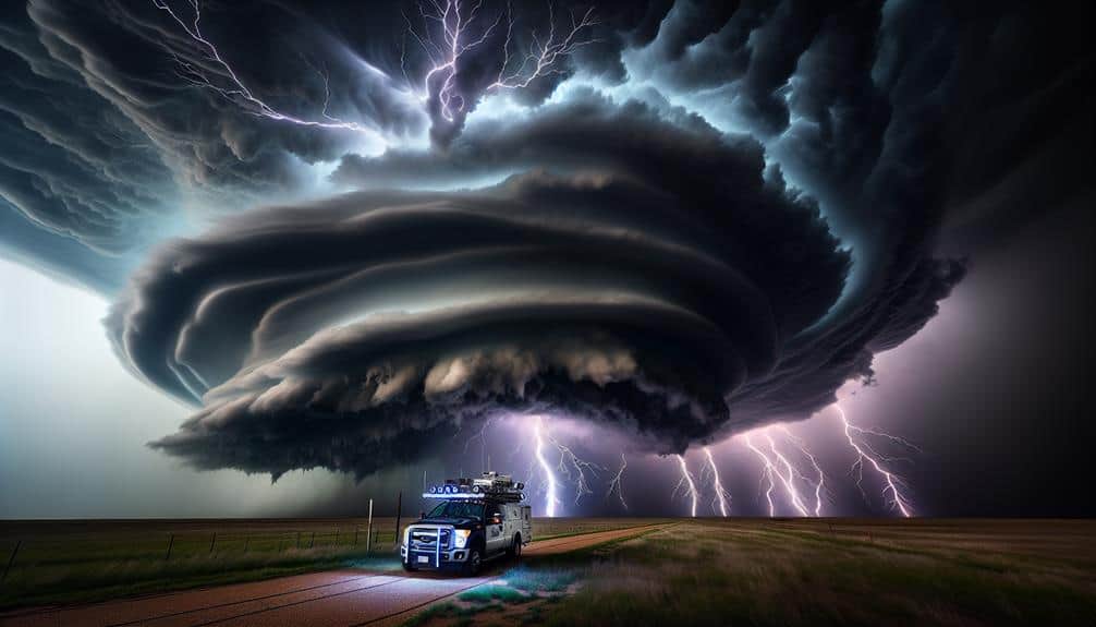
At the heart of every supercell storm lies a mesocyclone, a deep, persistently rotating updraft that powers the storm's severe weather phenomena. This mesocyclone is a critical component, driving the vertical rotation that distinguishes supercells from other storm types.
By examining the dynamics of mesocyclones, we can appreciate their complexity and their profound impacts on weather patterns. Mesocyclones form when wind shear induces horizontal vorticity, which is then tilted into the vertical by strong updrafts. These updrafts, reaching speeds of over 100 miles per hour, elevate warm, moist air, thereby intensifying the storm.
The vertical rotation fosters an environment ripe for intense rainfall and elevated lightning frequency, both hallmarks of supercell storms. Furthermore, the powerful updrafts contribute to hail formation. As the updrafts lift water droplets above the freezing level, they coalesce and freeze, creating hailstones that can grow significantly before falling to the ground.
The mesocyclone's structure ensures these processes occur effectively, resulting in the severe weather phenomena we observe. Understanding mesocyclones and updrafts not only deepens our meteorological knowledge but also empowers us to better predict and respond to these potent natural events.
Tornado Genesis
When conditions align perfectly, the mesocyclone's rotation can tighten and intensify, setting the stage for tornado genesis. We observe that specific atmospheric conditions are vital for this process.
Warm, moist air at the surface rises and interacts with cooler, drier air aloft, creating a conducive environment for rotating updrafts. These updrafts, already spinning due to wind shear, can further amplify and become the heart of severe weather phenomena.
Data indicates that the vertical wind shear, combined with the instability of the atmosphere, enhances the mesocyclone's potential for tornado development. As the updraft continues to rotate, it may stretch vertically, causing the rotation to tighten and accelerate, much like an ice skater pulling in their arms.
This concentrated rotation can lead to the formation of a tornado, a concentrated column of air extending from the storm cloud to the ground.
We must pay attention to the precise balance of atmospheric conditions that facilitate this transformation. When the mesocyclone's rotational energy reaches a critical threshold and the updraft's strength is maximized, the likelihood of tornado genesis increases significantly, marking the shift from a powerful storm to a potentially devastating weather event.
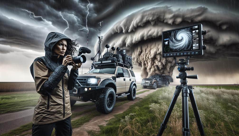
Impact on Storm Chasers
Storm chasers face significant risks and challenges when tracking supercell storms due to their unpredictable nature and intense weather conditions. The adrenaline rush we experience is undeniable, yet it's essential to prioritize safety precautions.
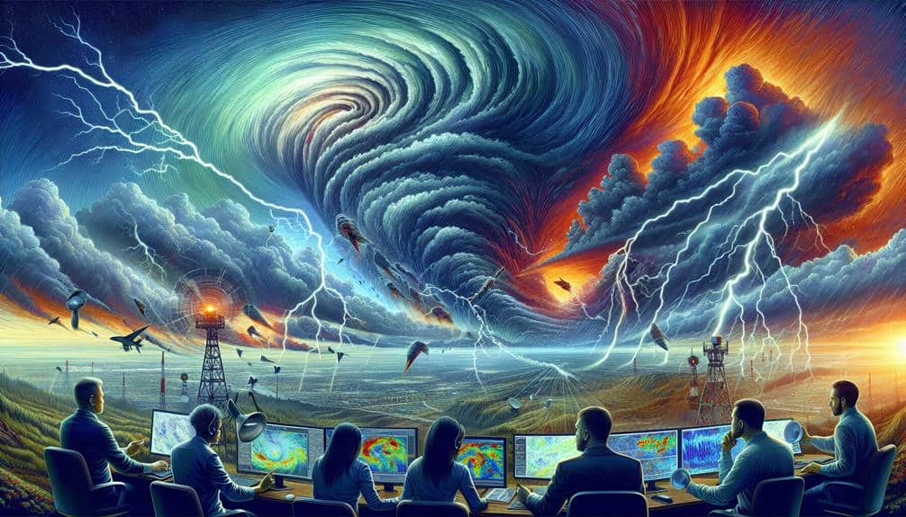
Supercells can produce violent tornadoes, large hail, and destructive winds, making the environment hazardous. We must continuously analyze data from Doppler radar, satellite imagery, and weather models to predict storm behavior with precision.
To mitigate risks, we rely on specialized equipment needed for storm tracking. High-resolution cameras, GPS devices, and portable weather stations are essential. Real-time data collection is vital for understanding storm dynamics and ensuring our safety. Communication tools, such as two-way radios and satellite phones, keep us connected in areas with poor cell coverage.
Adopting rigorous safety protocols is non-negotiable. We maintain a safe distance from the storm's core, constantly monitor weather updates, and have a pre-planned escape route. Our vehicles are equipped with reinforced glass and storm-protection gear to withstand extreme conditions.
Frequently Asked Questions
How Do Supercell Storms Affect Aviation Safety?
Supercell storms impact aviation safety by causing flight diversions and severe turbulence. We must implement emergency procedures and maintain clear communication to guarantee passenger safety and freedom of movement despite these extreme weather conditions.
What Role Do Temperature Inversions Play in Supercell Intensity?
Temperature inversions greatly influence supercell intensity by altering atmospheric dynamics, leading to more organized storm development. These inversions stabilize lower atmospheric layers, affecting environmental conditions and subsequently modifying precipitation patterns, hence amplifying storm severity.
Can Supercell Storms Form in Tropical Regions?
Imagine a boiling pot ready to overflow. In tropical regions, the combination of intense heat and humidity can fuel storm formation. However, supercell storms are less common due to weaker wind shear and vertical instability.
How Do Climate Change Factors Influence the Frequency of Supercell Storms?
We see climate change factors profoundly influencing the frequency of supercell storms by altering atmospheric conditions and contributing to extreme weather patterns. Rising temperatures and increased humidity intensify storm development, making these severe events more common.
What Are the Economic Impacts of Supercell Damage on Communities?
Imagine a domino effect: one supercell storm hits, leading to massive insurance claims, recovery efforts, and infrastructure damage. Agricultural losses exacerbate the strain on communities, highlighting the significant economic toll these storms can inflict.