For high-resolution weather radar data, your strongest sources are NEXRAD Level-II and Level-III archives via NOAA’s NCEI, offering 1 km spatial and 5-minute temporal resolution across 160 S-band stations. Internationally, RADOLAN, RADKLIM, and KNMI archives provide comparable benchmarks. For machine learning applications, TAASRAD19 pushes resolution to 0.5 km with nearly 895,000 timesteps. Each source carries distinct tradeoffs in calibration, access method, and operational fidelity that are worth understanding before committing to a pipeline.
Key Takeaways
- NEXRAD’s 160 S-band Doppler radars provide 1 km resolution Level-II and Level-III data, freely accessible via NOAA’s NCEI and cloud platforms.
- TAASRAD19 offers superior 0.5 km resolution with over 894,916 timesteps across nine years, making it ideal for machine learning benchmarks.
- International archives including RADOLAN, RADKLIM, and KNMI provide 1 km resolution data, enabling cross-border validation across diverse climatological regimes.
- RadarScope and RadarOmega deliver high-resolution NEXRAD Level-II feeds with advanced dual-pol products, tilt control, and superior calibration for operational workflows.
- Free tools like radar.weather.gov provide accessible radar data, though paid platforms offer faster refresh rates, cleaner data, and higher operational precision.
What Makes a High-Resolution Weather Radar System?
You’re looking for systems that combine resolution, processing rigor, and calibration discipline—those three factors separate research-grade radar archives from casual weather tools.
NEXRAD: The U.S. Standard for High-Resolution Radar
When you’re sourcing high-resolution radar data in the U.S., NEXRAD is your primary reference point — a network of 160 S-band Doppler radars jointly operated by the NWS, FAA, and U.S. Air Force.
You can access both Level-II and Level-III products through NOAA’s National Centers for Environmental Information (NCEI) or instantly via the NOAA Open Data Dissemination program on multiple cloud platforms.
These two product tiers cover everything from raw reflectivity and velocity data to processed outputs suited for operational visualization and precipitation mapping.
NEXRAD Network Overview
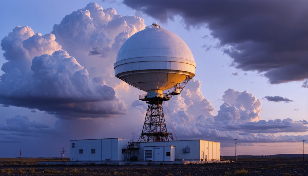
It’s a network of 160 high-resolution S-band Doppler radars, jointly operated by the NWS, FAA, and U.S. Air Force. NEXRAD gives you distributed continental coverage, detecting precipitation intensity and wind velocity across the full national domain.
Each radar site depends on precise antenna calibration to maintain data integrity across the network, ensuring measurements stay consistent between stations. Radar signal processing converts raw returns into structured reflectivity and velocity fields, which operators and researchers then use to map storm movement and precipitation patterns.
You’re getting a system built for both operational forecasting and archival research. NOAA archives the output as Level-II and Level-III products, both freely accessible through NCEI and the NODD cloud platform, giving you direct, independent access to authoritative, high-resolution atmospheric data.
Data Access And Products
NEXRAD data flows through two primary product tiers: Level-II and Level-III. Level-II delivers raw, high-resolution reflectivity and velocity outputs—your foundation for serious radar signal processing and detailed storm analysis.
Level-III provides processed, operationally ready products suited for broader data visualization and rapid interpretation.
You can access both tiers freely through NOAA‘s National Centers for Environmental Information (NCEI) or via the NOAA Open Data Dissemination program, which pushes data to multiple cloud providers for near real-time and historical retrieval.
The NEXRAD Inventory hub serves as your central discovery layer, consolidating search tools, documentation, and dataset statistics.
This open architecture means you’re not locked into proprietary systems—you pull what you need, when you need it, across cloud platforms without paywalls or gatekeepers.
How to Access NEXRAD Level-II and Level-III Data
For researchers and developers needing high-resolution radar data, NOAA provides two primary access pathways for NEXRAD Level-II and Level-III products. First, NOAA’s National Centers for Environmental Information (NCEI) archives both product tiers, offering free digital downloads through the NEXRAD Inventory discovery hub.
Second, NOAA’s Open Data Dissemination (NODD) program distributes the same datasets across multiple cloud providers, enabling near real-time and historical access without institutional barriers.
Level-II data supports detailed radar calibration workflows and raw reflectivity analysis, while Level-III products deliver processed outputs suited for operational visualization.
When working with either tier, you’ll need to account for signal attenuation effects that can distort precipitation estimates, particularly in heavy convective events.
Both pathways give you unrestricted, scalable access to one of meteorology’s most comprehensive radar archives.
NOAA and NCEI: Where High-Resolution Radar Archives Live
When you need authoritative, long-term radar archives, NOAA’s National Centers for Environmental Information (NCEI) serves as the primary institutional backbone for NEXRAD data storage and distribution. NCEI integrates radar archives alongside satellite imagery and climate models, giving you unrestricted access to decades of verified atmospheric data.
Key access advantages you’ll find through NCEI:
- Free digital downloads of Level-II and Level-III NEXRAD products without institutional barriers
- NOAA’s Open Data Dissemination (NODD) program delivers near real-time and historical radar data through multiple cloud providers
- The NEXRAD Inventory hub centralizes discovery, documentation, and retrieval tools for precise data targeting
You’re not locked into proprietary systems. NCEI’s open architecture lets you pull exactly the radar datasets your research or operational workflows demand.
1 Km Spatial, 5-Minute Temporal: the Research Resolution Benchmark
When you’re evaluating radar datasets for research-grade applications, the benchmark you’ll encounter most often is 1 km spatial resolution paired with 5-minute temporal resolution.
Major publicly available datasets—including NEXRAD Level II, Germany’s RADOLAN and RADKLIM 15, and KNMI’s radar archive—meet this standard, making them the primary references for precipitation nowcasting and machine-learning benchmarks.
If you need finer granularity, TAASRAD19 pushes that further to 0.5 km spatial resolution while maintaining 5-minute updates across over 9 years of archived reflectivity data.
Defining The Resolution Benchmark
Two key resolution thresholds define the research-grade benchmark for weather radar data: 1 km spatial resolution and 5-minute temporal resolution. These standards let you distinguish storm structure details that satellite imagery and climate modeling simply can’t resolve at equivalent update rates.
Meeting this benchmark matters because it directly determines what analyses you can run:
- Precipitation nowcasting requires sub-kilometer detail to track rapid storm evolution accurately
- Machine-learning model benchmarking depends on consistent, high-frequency timesteps for reliable training data
- Storm motion analysis demands both spatial and temporal precision simultaneously
NEXRAD Level-II, RADOLAN, and KNMI datasets hit this 1 km / 5-minute standard. TAASRAD19 exceeds it at 0.5 km resolution. Knowing this benchmark helps you select the right dataset before you commit to a research workflow.
Datasets Meeting This Standard
Four datasets consistently meet or exceed the 1 km / 5-minute research resolution benchmark: NEXRAD Level-II, RADOLAN, the KNMI dataset, and TAASRAD19.
Each undergoes rigorous radar signal processing and data calibration, ensuring outputs you can trust for precipitation analysis and machine-learning benchmarking.
NEXRAD Level-II delivers reflectivity and velocity data across 160 S-band stations.
RADOLAN and the KNMI dataset represent Europe’s strongest open radar archives, both hitting the 1 km / 5-minute standard.
TAASRAD19 pushes further, offering 0.5 km spatial resolution across 894,916 timesteps spanning 2010–2019.
You’re not limited to proprietary systems to access research-grade data.
These four publicly available datasets give you the precision and temporal density needed for serious nowcasting work without surrendering access or analytical independence.
The European High-Resolution Radar Datasets Researchers Actually Use
While NEXRAD dominates U.S.-focused radar research, European researchers rely on two publicly available high-resolution datasets that hold up to serious benchmarking demands. Both deliver the 1 km spatial resolution and 5-minute temporal resolution that machine-learning nowcasting models require.
European researchers don’t settle for second-rate data — they demand 1 km resolution and 5-minute intervals, and they get it.
- RADOLAN and RADKLIM 15 — maintained by the German Weather Service, combining radar reflectivity with rain-gauge data for validated precipitation analysis.
- KNMI dataset — published by the Royal Netherlands Meteorological Institute, widely cited in peer-reviewed nowcasting research.
- International collaborations — these open archives enable cross-border data harmonization, letting you benchmark models across different climatological regimes without proprietary access barriers.
If you’re building or evaluating precipitation models outside the U.S., these two sources give you the documented, accessible foundation your research workflow demands.
Which High-Resolution Radar Datasets Are Built for Machine Learning?
Beyond geographic coverage, radar datasets built specifically for machine learning impose stricter requirements around archive depth, temporal density, and consistent formatting. You need datasets with enough timesteps to train models without overfitting, and consistent sensor calibration to avoid introducing systematic noise into your pipeline.
TAASRAD19 directly addresses these demands, offering 0.5 km spatial resolution, 5-minute temporal updates, and 894,916 timesteps spanning over nine years. That depth supports robust benchmarking.
NEXRAD Level-II similarly enables data integration across 160 radar sites, giving you nationwide coverage with standardized formatting.
The publicly available datasets from KNMI and Germany’s RADOLAN archive round out your options for cross-regional model validation. If you’re building precipitation nowcasting systems, these archives define the current standard for training-ready radar data.
Best High-Resolution Radar Platforms for Real-Time Viewing
When you’re selecting a real-time radar platform, your choice between paid and free options directly affects the resolution, update rate, and data depth you’ll access.
RadarScope and RadarOmega deliver advanced high-resolution rendering with direct NEXRAD Level-II data feeds, while free tools like radar.weather.gov and MyRadar trade granularity for accessibility.
You’ll want to weigh coverage breadth against rendering precision, since platforms pulling raw Level-II data consistently outperform aggregated consumer tools in storm-scale analysis.
Top Real-Time Radar Platforms
Both platforms prioritize radar calibration integrity and minimize data interpolation artifacts that distort precipitation estimates on consumer-grade apps. For independent users who demand unfiltered access, these distinctions matter operationally.
Key differentiators worth evaluating:
- Scan update frequency and latency between radar sweeps
- Dual-pol product availability, including correlation coefficient and differential reflectivity
- Tilt-level control, letting you interrogate individual elevation angles directly
Paid Versus Free Options
Choosing between paid and free radar platforms depends heavily on what operational fidelity you actually need. Free options like radar.weather.gov and Weather Underground provide accessible NEXRAD Level-III products without cost, though they often compromise on update latency and customization depth.
Paid platforms like RadarScope and RadarOmega access Level-II data, delivering superior reflectivity resolution and velocity analysis. Your cost analysis should weigh subscription fees against the operational value of higher-resolution outputs.
Data privacy is another critical variable — free platforms frequently monetize user behavior, while paid services typically offer cleaner data agreements. If you’re running precipitation nowcasting workflows or benchmarking models, the precision gap between free and paid sources becomes operationally significant.
Match your platform choice to your actual resolution and privacy requirements.
Coverage And Resolution Compared
Coverage and resolution separate functional radar platforms from decorative ones. When you’re evaluating radar tools, radar signal processing quality and atmospheric scattering compensation directly determine how accurately precipitation displays at your location.
- NEXRAD Level-II delivers 1 km spatial resolution with 5-minute temporal updates across 160 S-band stations nationwide.
- TAASRAD19 pushes resolution to 0.5 km with matched 5-minute intervals, outperforming standard archives for precision analysis.
- International datasets like RADOLAN and KNMI provide comparable 1 km resolution, supporting cross-regional benchmarking.
RadarScope and RadarOmega pull directly from NEXRAD Level-II, giving you the sharpest available real-time data. Free platforms typically downsample that same feed, trading resolution for accessibility.
You control which tradeoff you accept—but knowing the source data’s native resolution keeps your situational awareness sharp.
Free vs. Paid High-Resolution Radar: Coverage and Access Limits Compared
When evaluating radar access options, the tradeoffs between free and paid platforms are significant. Free sources like radar.weather.gov and NOAA’s NEXRAD data give you direct access to Level-II and Level-III products without subscription barriers.
Free radar platforms like radar.weather.gov deliver raw NEXRAD data—no subscriptions, no barriers, just direct access.
Though their interfaces limit advanced signal processing capabilities, you’re getting raw fidelity without proprietary filtering.
Paid platforms like RadarScope and RadarOmega layer in superior data encryption protocols, refined signal processing, and faster refresh pipelines—giving you tighter control over how you interpret precipitation fields and storm motion.
The cost buys analytical precision, not just aesthetics.
If you’re running research workflows or benchmarking models, NOAA’s open cloud distribution through NODD delivers 1 km resolution data freely.
For operational field decisions requiring speed and clarity, paid platforms consistently outperform their free counterparts.
How to Choose the Right High-Resolution Radar Source for Your Work
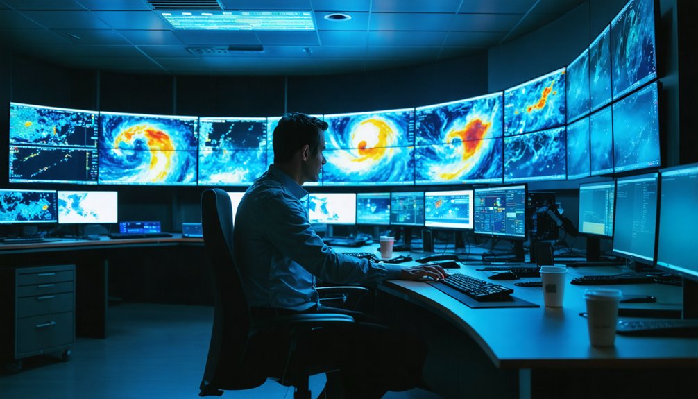
Selecting the right radar source depends entirely on what your work demands—there’s no universal answer. Match the source to your specific operational or research requirements by evaluating three critical factors:
- Data fidelity: Confirm radar calibration standards and signal processing pipelines meet your accuracy thresholds before committing to a source.
- Resolution requirements: NEXRAD Level-II delivers 1 km spatial resolution at 5-minute intervals—sufficient for most applications, while TAASRAD19 offers 0.5 km for finer-scale analysis.
- Access model: Determine whether you need real-time feeds, historical archives, or both—then align that with NOAA’s open data offerings or paid platforms like RadarScope.
You’re free to combine sources. Cross-referencing NEXRAD archives with international datasets like RADOLAN strengthens validation and expands your analytical scope considerably.
Frequently Asked Questions
Can High-Resolution Radar Data Be Used for Legal or Insurance Purposes?
Yes, you can leverage high-resolution radar data for legal implications and insurance claims—it provides precise, timestamped precipitation records that’ll substantiate weather-related disputes, validate storm damage timelines, and support evidence-based arguments in litigation or claims assessments.
How Do Radar Systems Perform During Extreme Weather Like Hurricanes?
During hurricanes, you’ll find radar calibration degrades as extreme precipitation attenuates signals. Signal processing algorithms compensate, but beam blockage and range folding introduce errors, limiting your reliable data retrieval in the storm’s densest core regions.
Are There Radar Datasets Specifically Covering Polar or Arctic Regions?
Like ancient cartographers charting unknown seas, you’ll find polar data and Arctic coverage aren’t well-represented in mainstream NEXRAD archives — you’d need to explore specialized datasets from institutions like KNMI or national meteorological agencies independently.
How Accurate Is High-Resolution Radar Compared to Ground Weather Stations?
You’ll find radar calibration affects accuracy markedly—it’s strong at spatial coverage but misses microclimatic ground-level variations. Data resolution at 1 km can’t fully replace station precision for localized temperature, humidity, or wind measurements.
Can Individuals Contribute Personal Weather Station Data to Radar Networks?
Like tributaries feeding a great river, your citizen contributions flow into collective networks. You can’t directly integrate personal data into NEXRAD, but platforms like Weather Underground actively accept personal data integration from your station.
References
- https://www.ncei.noaa.gov/products/radar/next-generation-weather-radar
- https://www.radaromega.com/
- https://www.reddit.com/r/TropicalWeather/comments/o4k84e/can_someone_please_recommend_a_radar_website_that/
- https://www.nature.com/articles/s41597-020-0574-8