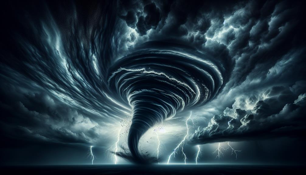
This tornado season, we can expect higher tornado activity influenced by La Niña conditions, with cooler Pacific temperatures altering jet stream patterns. These shifts may create ideal tornado-forming conditions, especially in Tornado Alley. We're seeing increasingly sophisticated meteorological tools that improve forecast accuracy. Our preparedness must consider supercell monitoring, atmospheric wind shear analysis, and utilizing enhanced technology like Doppler radar and satellite imagery. Proper safety gear, such as helmets and protective clothing, is paramount. As we navigate these predictions, equipping ourselves with advanced weather tracking tools and staying updated is vital for aligning our strategies effectively. Let's dive deeper to explore more.
Key Points
- La Niña conditions may increase tornado activity in Tornado Alley due to altered jet stream patterns.
- Enhanced meteorological technology will improve the accuracy of tornado forecasts and real-time tracking.
- Storm chasers should prepare for higher storm intensity due to potential climate change impacts.
- Reliable weather tracking tools and protective gear are essential for safe and effective storm chasing.
Tornado Frequency Predictions
Meteorologists predict that tornado frequency this season will be influenced by a combination of La Niña conditions and atmospheric instability. For us storm chasers, understanding these factors is essential.
La Niña typically brings cooler ocean temperatures in the Pacific, which can alter jet stream patterns and promote more tornado-favorable conditions across the central United States. When combined with atmospheric instability, we could see an uptick in tornado outbreak trends.
Forecasting accuracy has improved markedly due to advancements in meteorological technology, yet predicting the exact number and intensity of storms remains challenging. Climate change complicates the picture further by potentially increasing storm intensity.
Warmer global temperatures can lead to more moisture in the atmosphere, which fuels stronger storms. Thus, while we can predict general trends, the precise impact of climate change on tornado frequency is still under extensive study.
High-Risk Zones
We need to focus on the tornado-prone areas, particularly those in the central United States known as Tornado Alley.
By analyzing seasonal weather patterns, we can identify regions with the highest likelihood of tornado formation.
This helps us allocate resources and plan our storm-chasing activities more effectively.
Tornado-prone Areas
The central United States, often referred to as 'Tornado Alley,' experiences the highest frequency of tornadoes due to its unique geographical and meteorological conditions. This region, encompassing parts of Texas, Oklahoma, Kansas, and Nebraska, is particularly vulnerable. Here, cold dry air from Canada converges with warm moist air from the Gulf of Mexico, creating the perfect storm conditions for tornado formation.
As storm chasers, we need to be acutely aware of these geographical hotspots. Tornado Alley isn't just a singular location; it's a dynamic region where the boundaries constantly shift based on weather patterns. Knowing the terrain and typical tornado paths within this area can greatly enhance our storm chasing efficiency and safety.
Disaster preparedness is paramount. We can't underestimate the importance of having a well-thought-out plan in place. This includes ensuring our vehicles are equipped with the latest tracking technology, communication devices, and emergency supplies. Understanding local infrastructure and emergency services in Tornado Alley can also be a lifesaver.
Seasonal Weather Patterns
Understanding the geographical hotspots is just the beginning; analyzing the seasonal weather patterns within these high-risk zones allows us to predict and track tornado activity with greater precision.
Tornado season peaks when weather conditions, particularly the interaction between warm, moist air from the Gulf of Mexico and cold, dry air from the Rockies, create ideal environments for severe thunderstorms. During these periods, atmospheric pressure differences can trigger the necessary updrafts and rotation for tornado formation.
Climate changes have further complicated our forecasting models. We see shifts in the jet stream that alter traditional high-risk zones and extend or shorten tornado seasons. By closely monitoring these changes, we can refine our predictions.
For example, La Niña years tend to produce more tornadoes in the Southeast, while El Niño years shift activity toward the Central Plains.
Our ability to track these patterns with advanced radar and satellite technology gives us the freedom to make informed, real-time decisions. We can anticipate where and when tornadoes are likely to form and chase them safely. This dynamic approach ensures that we're not just reacting to weather events but proactively engaging with them, maximizing both our safety and data collection efficiency.
Weather Patterns to Watch
Monitoring supercell formations is vital for predicting tornado activity during the upcoming season. These powerful, rotating thunderstorms are often the birthplace of the most violent tornadoes. As storm chasers, we need to hone our strategies to identify and track these formations accurately. By closely analyzing atmospheric conditions such as wind shear, humidity, and temperature gradients, we can anticipate the development of supercells and improve our tornado forecasting efforts.
We'll focus on key indicators like the Enhanced Fujita (EF) scale, Doppler radar signatures, and satellite imagery. The EF scale helps us assess potential tornado intensity, while Doppler radar can reveal the telltale hook echo pattern indicative of a tornado's presence. Satellite imagery provides a broader view of storm systems, enabling us to track their evolution in real time.
Our storm chaser strategies should include being mobile and ready to adapt to rapidly changing weather conditions. It's crucial to stay updated with the latest meteorological data and forecasts, ensuring we can position ourselves strategically. By leveraging advanced forecasting tools and continuously refining our approach, we can maximize our chances of capturing these awe-inspiring natural phenomena while prioritizing safety and freedom.
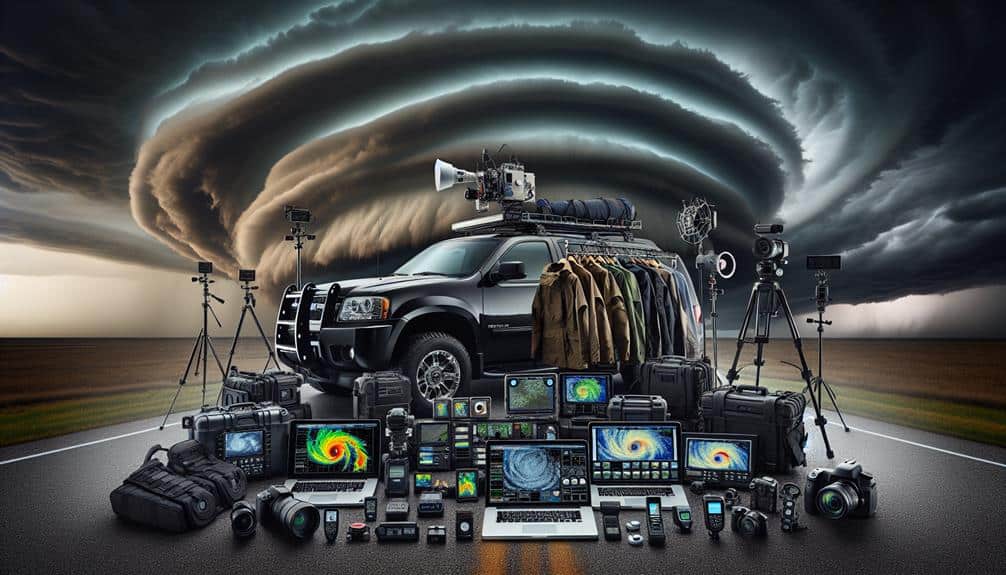
Equipment Essentials
To efficiently chase tornadoes, we need reliable weather tracking tools for real-time updates and forecasts.
High-quality camera gear is essential for documenting our findings and capturing critical moments.
We also can't compromise on protective safety equipment to guarantee our team's well-being in volatile conditions.
Reliable Weather Tracking Tools
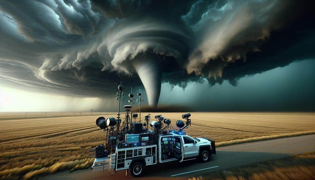
Effective storm chasing hinges on using advanced weather tracking tools like Doppler radar, anemometers, and GPS systems to accurately forecast tornado activity and guarantee our safety. Radar technology remains the foundation of our operations, providing real-time storm alerts that allow us to make timely decisions.
The precision of Doppler radar, in particular, enables us to track wind speeds and rotation patterns, which are crucial for identifying potential tornado formations.
We also heavily depend on sophisticated tracking software and forecasting tools. These systems gather data from various sources, offering a thorough overview of weather conditions. This integrated approach ensures we can predict severe weather events with a higher level of accuracy.
Our forecasting tools utilize algorithms that analyze historical and real-time data, enhancing our ability to forecast tornado paths and intensities. Anemometers and GPS systems further enhance our tracking capabilities. Anemometers measure wind speeds on the ground, providing localized data that complements radar readings.
Meanwhile, GPS systems guarantee we can navigate safely and efficiently, even in the most challenging conditions. Together, these technologies form a strong framework that enables us to chase storms with both precision and confidence.
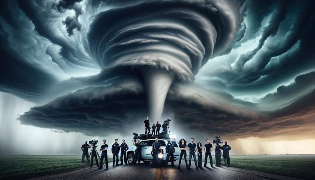
High-Quality Camera Gear
While our advanced tracking tools provide the necessary data for storm forecasting, capturing high-quality visual evidence requires the use of top-tier camera gear. To document storm formations effectively, we need cameras that offer superior image quality and versatility in various weather conditions. DSLR and mirrorless cameras are our go-to options due to their exceptional performance and adaptability.
Achieving the best results hinges on understanding and adjusting camera settings. We should prioritize a fast shutter speed to freeze action shots, capturing the dynamism of tornadoes and turbulent skies. An aperture setting of around f/8 can provide a good balance between depth of field and light intake, essential for crisp, detailed images.
Equally important is the ISO setting. While we often chase storms in low-light conditions, a high ISO can introduce noise, degrading image quality. Advanced cameras with excellent low-light performance allow us to push ISO limits without compromising clarity.
In addition to the camera body, using quality lenses is paramount. Wide-angle lenses capture the vastness of storm formations, while telephoto lenses bring distant phenomena into sharp focus. By mastering these elements, we make certain our visual documentation is as compelling as our data.
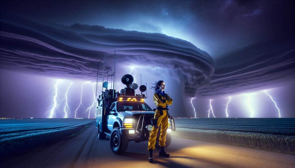
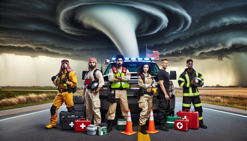
Protective Safety Equipment
Safeguarding our safety during storm chases demands high-quality protective gear designed to withstand extreme weather conditions. The significance of safety gear can't be overstated, as it provides an essential barrier between us and potentially life-threatening elements.
Helmets are necessary; they guard against debris propelled by high winds. A full-face shield or goggles protect our eyes from flying particles and torrential rain, guaranteeing visibility remains uncompromised.
Body armor is another essential component. Lightweight yet durable, it shields vital organs from impact. A sturdy, weather-resistant jacket and pants, preferably made from Gore-Tex, offer excellent water and wind resistance while allowing for mobility.
Gloves with reinforced palms maintain our grip on equipment, even in the harshest conditions.
Communication devices, such as two-way radios or satellite phones, are non-negotiable for maintaining contact with team members and emergency services. A reliable GPS unit ensures we can navigate treacherous terrains with precision.
Additionally, first aid kits stocked with essential medical supplies provide indispensable support in emergencies.
These protective measures are a necessity, not a luxury. They empower us to chase storms with the freedom to explore, document, and ultimately, return safely to share our findings.
Safety Precautions
Prioritizing our safety during tornado season demands a meticulous approach to both preparation and real-time decision-making. We must begin by identifying the locations of emergency shelters along our planned routes. These shelters should be accessible and structurally sound to withstand high winds and debris. Equally essential is developing robust communication plans. We need reliable channels to stay informed about weather changes and to coordinate with fellow chasers and support teams.
Executing tornado drills and safety drills will greatly enhance our readiness. By simulating various scenarios, we can refine our responses to potential hazards, ensuring that each team member knows their role. These drills should include procedures for quickly reaching emergency shelters and establishing contact during communication blackouts.
In the field, we must remain vigilant and adaptable. Real-time decision-making is vital; our ability to interpret radar data and weather updates accurately will determine our movements. We should also have contingency plans for unexpected developments, such as sudden shifts in a tornado's path or equipment failures.
Impact on Communities
Tornadoes leave a significant impact on communities, disrupting infrastructure, displacing residents, and necessitating extensive recovery efforts. Our ability to understand and improve community responses is vital.
When a tornado strikes, emergency protocols come into play immediately. Local authorities activate warning systems, dispatch first responders, and establish shelters. These protocols are essential to minimize casualties and organize initial relief efforts.
Analyzing past events reveals how critical timely and effective responses are. For instance, communities with well-rehearsed emergency protocols experience fewer fatalities and more efficient disaster management. However, the aftermath requires more than just immediate responses; it demands substantial rebuilding efforts.
Displaced residents face housing crises, and damaged infrastructure needs reconstruction. Disaster relief organizations often lead these efforts, providing essential resources such as food, water, and temporary shelter. The rebuilding phase is both extensive and expensive, involving public and private sectors.
We see communities coming together, showcasing resilience and solidarity. Volunteers contribute time and resources, while local governments seek funding to restore normalcy.
Tips for New Storm Chasers
For new storm chasers, understanding the significance of thorough preparation and possessing the right equipment is paramount to guaranteeing both safety and success in the field. Before heading out, we must familiarize ourselves with storm tracking tools such as radar apps, GPS devices, and weather radios. These tools are necessary for real-time data, helping us to predict storm paths and make informed decisions.
When it comes to chasing techniques, it's essential to know the terrain and road networks in the target area. This knowledge enables quick, safe navigation while maintaining a safe distance from the storm. We should also practice defensive driving, as unpredictable weather conditions can make the roads hazardous.
Equipping our vehicle with emergency supplies, including first aid kits, extra fuel, and non-perishable food, ensures we're ready for extended chases. A reliable communication system, like a CB radio or satellite phone, keeps us connected with other chasers and emergency services.
Lastly, we should always prioritize safety over thrill-seeking. Understanding storm dynamics and respecting nature's power is key. By combining technical knowledge with practical chasing techniques, we can enjoy the freedom of the chase while minimizing risks.
Frequently Asked Questions
How Do Storm Chasers Contribute to Scientific Research?
We gather crucial real-time data that enhances meteorological analysis. By collecting atmospheric measurements and storm structure details, we greatly enhance tornado prediction models, providing valuable insights that advance scientific research and empower communities to make informed decisions.
What Is the Best Time of Day for Storm Chasing?
The ideal conditions for storm chasing typically occur in the late afternoon to early evening. We must take safety precautions seriously, ensuring our equipment is ready, routes planned, and communication maintained to minimize risks while maximizing freedom.
How Do Storm Chasers Communicate While in the Field?
We rely on technology for communication, using radios and smartphones. Safety protocols include constant updates on weather conditions and locations. Real-time data sharing guarantees we're well-informed and can make quick decisions to stay safe and effective.
What Are the Legal Restrictions on Storm Chasing?
Did you know 60% of storm chasers face legal issues yearly? We must adhere to strict safety measures and obtain necessary permits required by local authorities to guarantee both our safety and compliance with legal regulations.
How Can One Join a Storm Chasing Tour?
To join a storm chasing tour, we should research companies offering trips, ensuring they prioritize safety measures and equipment. These tours provide a thrilling tourist experience, visiting prime locations known for tornado activity, while maintaining high safety standards.