Optimizing drone use for storm chasing revolves around selecting high-endurance models with advanced sensors, real-time data transmission, and reliable wind resistance. We need drones with minimum 30-minute flight durations, HD cameras, and thermal sensors to capture detailed atmospheric data. Pre-flight inspections guarantee operational readiness and safe navigation. Through real-time monitoring, we enhance storm trajectory prediction and risk assessment. Adhering to FAA regulations, including Part 107 for sUAS, and implementing geofencing technology promotes safety and compliance. Our analytical approach marries cutting-edge technology with established protocols, ensuring a holistic strategy. There's more to uncover about mastering drone-based storm risk evaluation.
Key Points
- Incorporate real-time data collection for accurate risk assessment and timely decision-making.
- Ensure drones have high wind resistance and minimum 30-minute flight endurance.
- Utilize high-definition cameras and thermal sensors for detailed storm analysis.
- Adhere to FAA Part 107 regulations and employ geofencing to prevent restricted zone entry.
Benefits of Drones in Storm Chasing
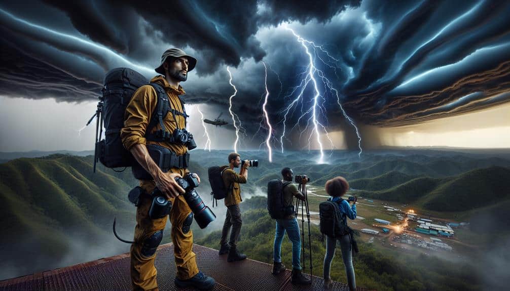
Drones offer unmatched advantages in storm chasing by providing real-time data collection and enhanced safety for researchers. With their ability to capture an aerial perspective, drones enable us to monitor storm developments accurately as they unfold. This real-time monitoring is essential, allowing us to gather data on wind speeds, atmospheric pressure, and other meteorological parameters without the need for risky ground-based interventions.
By deploying drones, we can achieve rapid response times, crucial in unpredictable storm environments. The enhanced accuracy of drone-collected data allows for precise modeling and forecasting, which is invaluable for both immediate decision-making and long-term research. Drones can be deployed quickly to areas that are otherwise inaccessible, ensuring that no essential data points are missed.
Moreover, the aerial perspective offered by drones provides a thorough overview of storm systems, enabling us to identify patterns and anomalies that ground-based observations might overlook. This capability not only improves the quality of our research but also enhances the safety of our teams, reducing the need for close-up encounters with severe weather phenomena.
Ultimately, the integration of drones into storm chasing practices empowers us to make more informed, timely, and effective decisions, maximizing both our operational efficiency and personal safety.
Choosing the Right Drone
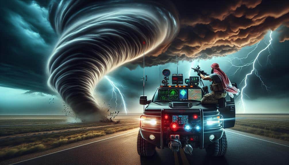
Selecting the right drone for storm chasing involves evaluating various technical specifications such as flight endurance, sensor capabilities, and wind resistance. We need to make sure our drone can withstand high winds and rain, typical in storm environments.
A drone with a minimum flight endurance of 30 minutes allows us to gather ample data before needing a recharge. High-definition cameras and thermal sensors are crucial for capturing detailed imagery and thermal anomalies, aiding in accurate risk assessment.
When considering drone specifications, compatibility with existing equipment is essential. We must verify that the drone's software integrates seamlessly with our data analysis tools to streamline information processing. Wind resistance is another important parameter; drones rated for wind speeds of at least 40 mph are ideal for maintaining stability in turbulent conditions.
Budget considerations also play a significant role in our decision-making process. While high-end models offer a plethora of features, they come with a hefty price tag. We must balance cost with key features, such as GPS accuracy, real-time data transmission, and robust build quality.
Pre-Flight Preparations
Before launching our drone, we must conduct a thorough pre-flight inspection to verify all systems are operational and weather conditions are within safe parameters.
We'll start by checking the drone's battery levels, confirming they're fully charged and capable of handling the planned flight duration. Next, we'll inspect the propellers and motors for any signs of wear or damage that could impact performance.
Weather monitoring is important. We'll utilize real-time meteorological data to assess wind speeds, temperature, and potential precipitation. This data helps us determine if conditions are suitable for flight and if there are any immediate signs of severe weather that could pose a risk.
We also need to establish and review emergency protocols. This includes programming a return-to-home function in case of sudden weather changes or technical issues.
We'll make sure that all team members are familiar with emergency landing sites and communication procedures.
Data Collection Techniques
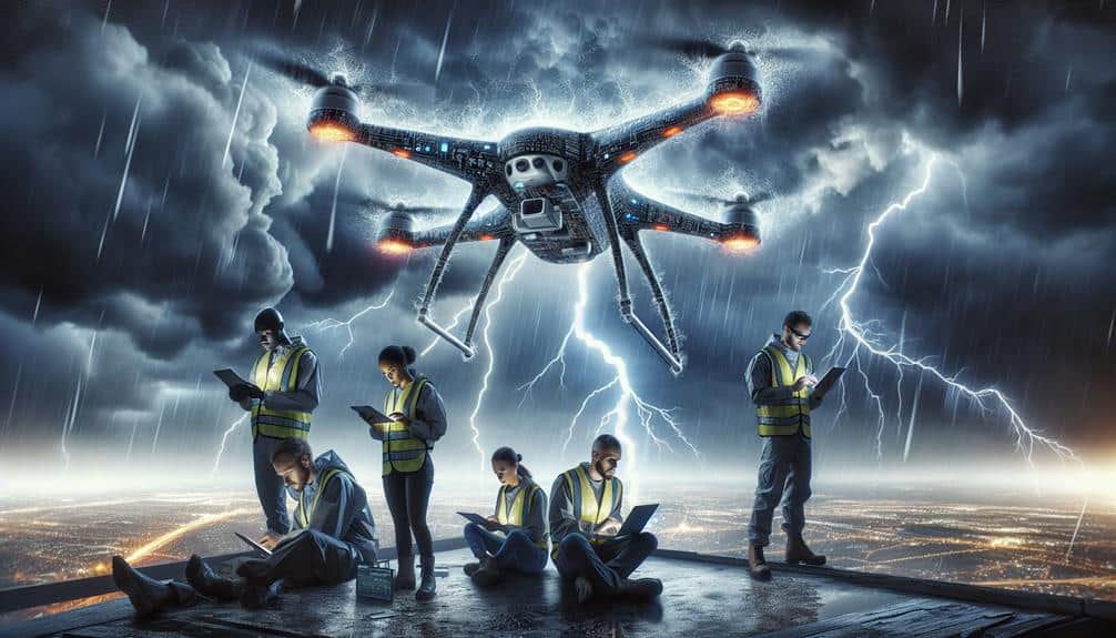
Utilizing high-definition cameras and advanced sensors, we can capture essential atmospheric data to enhance storm risk assessments. With these tools, our drones excel in remote sensing, enabling us to collect detailed aerial imaging that maps out storm structures in exceptional detail.
By leveraging this technology, we gain insights into the spatial distribution of weather patterns, allowing us to predict storm trajectories and intensities with greater precision.
We employ real-time monitoring to provide continuous data streams, which are vital for analyzing rapidly changing weather conditions. This live data feed allows us to observe storm development in real time, making it possible to detect sudden changes in weather patterns that could indicate increased risk. Our ability to adjust drone flight paths dynamically, based on incoming data, guarantees we capture the most relevant information.
The integration of these data collection techniques creates a thorough framework for storm risk assessment. By combining high-definition aerial imaging with real-time monitoring, we can build predictive models that not only forecast storm behavior but also guide emergency response strategies.
This approach maximizes our potential to mitigate storm impact, providing both valuable data and the freedom to innovate in storm management practices.
Ensuring Safety and Compliance
To safeguard the safety and compliance of our drone operations, we rigorously adhere to established aviation regulations and implement robust risk management protocols. These safety protocols are crucial to lessen the inherent risks of storm chasing. We guarantee every mission aligns with FAA regulations, including Part 107 for small unmanned aircraft systems (sUAS). Following these standards not only secures regulatory compliance but also maximizes operational safety.
Our pre-flight checklists are thorough, covering equipment functionality, weather conditions, and airspace restrictions. We utilize real-time data analytics to monitor potential hazards, allowing us to make informed decisions swiftly. For example, integrating ADS-B technology into our drones helps us evade manned aircraft, enhancing situational awareness.
Additionally, we conduct regular training sessions for our operators, emphasizing emergency procedures and safe operational practices. This ongoing education ensures that our team stays up-to-date with the latest safety protocols and regulatory updates. Furthermore, we employ geofencing technology to prevent our drones from entering restricted zones, further securing compliance.
Frequently Asked Questions
How Can Drones Be Integrated With Traditional Storm Chasing Methods?
Imagine drones as our eyes in the sky. We can enhance data integration and safety monitoring, improve navigation assistance, and guarantee equipment durability. This fusion boosts storm chasing efficiency while maximizing our freedom to explore safely.
What Are the Cost Implications of Deploying Drones for Storm Chasing?
We're diving into the cost analysis of deploying drones. They enhance operational efficiency, but initial investments and maintenance costs can't be overlooked. Yet, the long-term savings in reduced manpower and increased data accuracy offer substantial financial benefits.
How Do Drones Communicate Data in Real-Time During a Storm?
We leverage advanced technology for data transmission, ensuring real-time monitoring during storms. Using robust communication protocols, our drones send critical information back to command centers instantly, enabling swift analysis and decision-making, thereby enhancing our operational freedom.
What Are the Limitations of Drone Technology in Severe Weather Conditions?
Every rose has its thorn; even the best drones face limitations. In severe weather, their weather resilience suffers, impacting data accuracy. High winds, heavy rain, and lightning can disrupt operation, leading to potential data gaps and inaccuracies.
How Does Drone Deployment Affect Insurance for Storm Chasers?
Deploying drones greatly impacts insurance implications for storm chasers. By enhancing risk assessment capabilities, we can reduce premiums and improve safety measures, allowing us to chase storms with greater freedom and minimized financial risk.