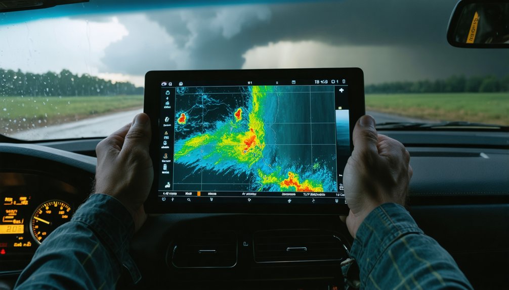
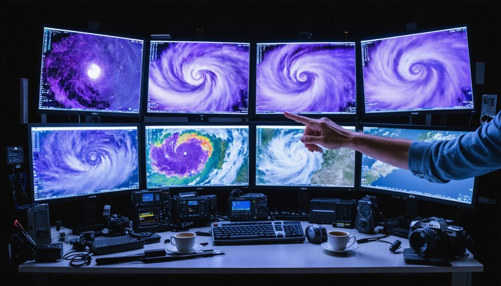
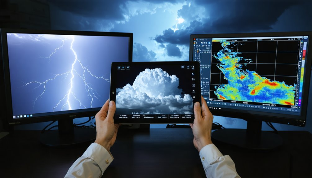
Automated meteorological data processing is critical because storm evolution outpaces manual workflows. When you’re tracking a supercell, you can’t afford lag between raw data ingestion and actionable intelligence. Automation handles radar quality control, unit conversion, multi-source synchronization, and noise filtering simultaneously—giving you clean, decision-ready information every few minutes. It flags rotation, hail signatures, and developing cells faster than manual review ever could. The deeper mechanics behind this technology reveal exactly how it keeps chasers positioned safely and accurately.
Key Takeaways
- Automated processing eliminates manual data management, letting storm chasers focus on analyzing storm behavior and evolution in real time.
- Storm evolution outpaces manual workflows, making automation essential for capturing critical moments like hook echo tightening.
- Automatic filtering removes ground clutter and interference, ensuring radar signals accurately reflect true storm structures and intensity.
- Automated cell tracking and path projection provide early decision windows, enabling timely repositioning rather than reactive responses.
- Fusing radar, lightning, and satellite data into unified displays gives chasers comprehensive, synchronized situational awareness every few minutes.
What Is Automated Meteorological Data Processing?
Automated meteorological data processing refers to the systematic, software-driven collection, quality control, and transformation of raw weather observations into structured, usable outputs—without requiring manual intervention at each step. It pulls from radar, satellite, surface stations, lightning networks, and numerical models, then aligns those inputs into consistent, analyzable formats.
For you as a storm chaser, this matters because raw data alone can’t tell you how storm intensity is shifting or whether storm longevity will extend your intercept window. Automated pipelines handle noise filtering, unit conversion, temporal synchronization, and spatial gridding continuously in the background.
You get clean, actionable intelligence rather than unprocessed feeds that demand manual sorting. The system does the heavy lifting so your attention stays on the storm, not the data.
Why Storm Chasers Can’t Rely on Manual Data Alone
When a supercell is cycling or a new mesocyclone is developing, you can’t manually track rotating updrafts, incoming warning polygons, and hail core motion simultaneously without losing critical seconds. Storm evolution moves faster than manual workflows can handle.
You’re managing radar scans, surface observations, GPS position, and lightning data at once, and each source demands immediate interpretation.
Every data stream arrives simultaneously. None of them wait for you to finish reading the last one.
Manual analysis introduces lag precisely when timing matters most. You miss the moment a hook echo tightens or a secondary cell emerges on your flank. Data redundancy compounds this problem, forcing you to cross-reference multiple feeds by hand while the storm reorganizes.
Automated processing removes that bottleneck. It handles the filtering, alignment, and flagging continuously, so your attention stays on movement decisions rather than raw data management.
How Cleaner Radar Data Leads to Better Chase Decisions
When you pull up raw radar data during a chase, you’re looking at a mix of actual storm returns and interference from ground clutter, beam overshooting, and biological echoes that can distort your read of storm structure.
Automated preprocessing filters these artifacts before the data reaches your display, giving you cleaner reflectivity fields and more accurate hydrometeor classification.
The result is that you’re less likely to misread a weakening signature as intensification or confuse a debris ball with a false echo, which directly sharpens your intercept decisions.
Filtering Out Radar Noise
Raw radar data contains a range of non-meteorological artifacts—ground clutter, beam blockage, side-lobe contamination, and biological returns—that can distort your read of storm structure when you’re making time-sensitive chase decisions. Automated filtering algorithms strip these contaminants before data reaches your display, giving you a cleaner reflectivity field to work with.
Radar calibration guarantees the signal you’re interpreting accurately reflects actual precipitation intensity rather than instrument drift or terrain interference. Without it, you risk misidentifying a hail core’s depth or underestimating a storm’s intensification rate.
Data harmonization aligns inputs from multiple radar sites into a consistent, comparable mosaic. That consistency matters when you’re tracking a supercell across overlapping scan sectors. Cleaner, calibrated, harmonized data lets you act on what’s real—not on noise.
Improving Storm Structure Clarity
Cleaner radar data doesn’t just look better on your display—it changes what you can actually see inside a storm. Automated preprocessing strips non-meteorological echoes and corrects beam artifacts, revealing true cloud dynamics and internal structure. That clarity directly sharpens your decision-making in the field.
With quality-controlled reflectivity, you can distinguish:
- Rotation signatures tied to wind shear gradients that indicate supercell organization
- Hail cores versus heavy rain using hydrometeor classification outputs
- Weak echo regions and bounded weak echo regions that signal intense updraft activity
Without that processing, you’re chasing noise as much as storm structure. Automated filtering gives you an accurate operational picture, letting you position correctly, time your intercept precisely, and exit hazardous areas before conditions deteriorate.
Reducing Misread Weather Signatures
Misread radar signatures don’t just cause confusion—they drive poor positioning decisions that put you directly in harm’s way. Non-meteorological echoes, beam blockage, and range degradation corrupt raw reflectivity fields, making weak rotation appear stronger or masking genuine hail cores entirely. Without signal filtering, you’re interpreting noise as structure and reacting accordingly.
Automated preprocessing strips those artifacts before data reaches your display. Quality-controlled reflectivity, hydrometeor classification, and cell-detection algorithms give you cleaner, more reliable storm geometry. Data accuracy improves when automated systems separate precipitation echoes from ground clutter and biological returns systematically, not selectively.
The result is sharper situational awareness. You read storm structure as it actually exists, not as degraded radar artifacts suggest. That distinction determines whether your intercept position is tactical or dangerous.
How Automated Meteorological Data Processing Powers Storm Tracking
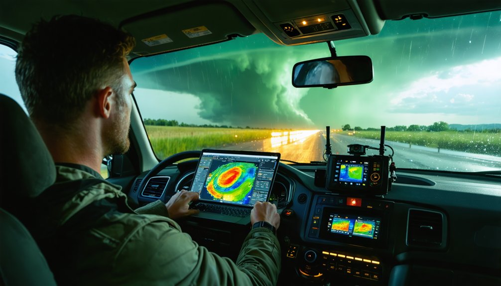
When raw radar data enters an automated processing pipeline, it doesn’t arrive clean—noise, beam artifacts, range degradation, and non-meteorological echoes all distort the signal before it reaches your display.
Automated systems strip that interference, then classify hydrometeors, estimate motion vectors, and project storm paths forward in time.
Automated systems eliminate interference, classify hydrometeors, calculate motion vectors, and project storm paths—continuously, without manual intervention.
This processing directly powers your storm tracking by enabling:
- Storm visualization that renders quality-controlled reflectivity and cell boundaries without manual filtering
- Data integration that aligns radar, lightning, satellite, and surface observations into a single synchronized view
- Automated cell tracking that estimates storm motion and projects short-term intercept positioning
You’re no longer interpreting degraded signals or reconciling misaligned data sources manually. The pipeline handles it continuously, keeping your situational awareness sharp as storm structure evolves minute by minute.
How Nowcasting Gives Storm Chasers Earlier Storm Predictions
Automated processing doesn’t just clean and align your data—it feeds directly into nowcasting systems that push storm predictions minutes ahead of current conditions.
After data validation confirms consistency across radar, satellite, and lightning feeds, and sensor calibration corrects for instrument drift and beam geometry errors, nowcasting algorithms can generate updated storm projections every few minutes.
These systems estimate cell motion vectors, extrapolate convective development, and flag intensification trends before manual analysis could catch them.
You’re not reacting to where the storm was—you’re positioning for where it’s going.
Short-horizon forecasts give you earlier decision windows, tighter intercept timing, and more room to avoid dangerous cores.
That predictive lead time is what separates a controlled chase from a reactive one.
How Faster Warning Detection Keeps Storm Chasers Safer
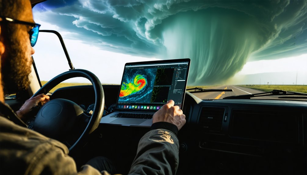
When you’re chasing severe storms, automated warning systems flag hazards like hail cores, damaging winds, and flash flooding faster than manual workflows can.
That speed directly cuts your exposure time by delivering actionable alerts before conditions deteriorate around your position.
Early detection of secondary cells and developing thunderstorms also gives you the lead time you need to reposition or exit a threat area before it becomes dangerous.
Automated Alerts Reduce Exposure
Because severe weather can shift within minutes, automated alert systems give storm chasers a critical time advantage over manual monitoring workflows. When storm behavior escalates, you need immediate hazard awareness, not delayed interpretation. Automated alerts process incoming radar and sensor data continuously, flagging threats before they demand manual review.
These systems directly reduce your exposure by:
- Detecting secondary cells and early convective development before they become immediate threats
- Delivering actionable warning polygons without requiring manual intervention at every data cycle
- Updating data visualization displays every few minutes so your situational awareness stays aligned with storm motion
The result is a faster, more reliable response window. You spend less time interpreting raw feeds and more time executing informed positioning decisions that keep you clear of dangerous storm cores.
Early Detection Enables Evasive Action
Faster alerts only protect you if they arrive early enough to act on. Automated systems flag secondary cell development and early convective initiation before threats mature, giving you time to reposition rather than react.
In a dynamic storm environment, conditions shift faster than manual workflows can track. Early detection compresses the gap between observation and decision, letting you execute evasive movement while exit routes remain open.
Forecast uncertainty is unavoidable, but automated nowcasting narrows that uncertainty by delivering updated hazard fields every few minutes. You’re not waiting on an analyst to interpret the data—the system processes it continuously and surfaces actionable outputs immediately.
That speed translates directly into lead time, which is the one variable that determines whether you navigate safely around a deteriorating situation or get caught inside it.
How Chasers Combine Radar, Lightning, and Satellite Into One Picture
Tracking a supercell effectively means pulling radar, lightning, and satellite data into a single, coherent operational picture rather than switching between isolated feeds. Automated data fusion aligns these streams in time and space, converting heterogeneous inputs into one unified display you can act on immediately.
Visual integration gives you the full storm picture at a glance:
- Radar identifies reflectivity cores, rotation signatures, and precipitation structure
- Lightning data flags rapid intensification and electrification trends before radar catches up
- Satellite imagery reveals mesoscale convective organization and anvil-level storm evolution
Without automation, syncing these feeds manually introduces dangerous lag. Automated pipelines handle the alignment continuously, so your dashboard reflects current conditions across all sources simultaneously, keeping your decisions sharp and your positioning ahead of the storm.
How Automation Cuts the Gap Between Data and Decision
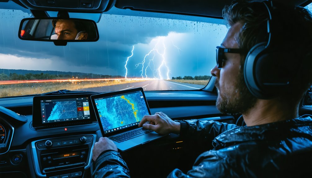
Every minute between observation and action is a minute the storm uses against you. Automated processing eliminates the manual bottlenecks that slow storm data from radar scan to usable intelligence.
Instead of waiting for someone to quality-control reflectivity fields or manually plot warning polygons, automated pipelines handle preprocessing, cell detection, and nowcast generation continuously in the background.
That compression of time directly improves decision speed. You’re not reacting to conditions from six minutes ago — you’re working with the latest scan, already processed, already integrated.
When a supercell intensifies or a secondary cell fires unexpectedly, you need that information immediately, not after a manual workflow catches up. Automation keeps the gap between what the atmosphere is doing and what you know about it as narrow as operationally possible.
Which Automated Tools Work Best for Storm Chasers
Not all automated tools deliver equal value in a chase environment, so knowing which ones actually move the needle matters. You need tools that combine rapid data visualization with accurate storm intensity assessment to stay ahead of rapidly evolving threats.
The most operationally effective tools include:
- Radar mosaic platforms with auto-refreshing hydrometeor classification and reflectivity overlays
- Automated cell-tracking software that generates motion vectors and short-term storm path projections
- Integrated warning dashboards that merge lightning, satellite, and radar feeds into a single actionable display
Each tool addresses a specific gap in situational awareness. You’re not chasing with complete information unless these systems work together.
Prioritize platforms that update every five to six minutes and require minimal manual input to deliver clean, decision-ready outputs.
Frequently Asked Questions
Can Automated Processing Work in Areas With Poor Radar Coverage?
Yes, automated processing handles radar gaps by pulling in satellite, lightning, and surface observation data. It uses data integration to fill coverage holes, so you’re still getting actionable, near-real-time storm intelligence even without strong radar returns.
How Much Data Storage Do Automated Meteorological Systems Typically Require?
Your storage capacity needs vary widely—you’ll typically manage gigabytes to petabytes depending on resolution and data retention policies. High-frequency radar mosaics, lightning feeds, and model outputs accumulate fast, so you’ll need scalable, efficient storage solutions.
Does Automated Processing Work Differently for Nighttime Storm Chasing Operations?
Yes, it adapts. At night, you’re battling nighttime visibility gaps and sensor limitations, so automated systems lean harder on radar, lightning data, and infrared satellite feeds rather than visual confirmation to track storm structure.
Can Beginner Storm Chasers Realistically Use Automated Meteorological Processing Tools?
Like a telegraph operator receiving live dispatches, you can absolutely use these tools—they’ll handle manual interpretation and subjective analysis automatically, freeing you to act decisively on clean, processed storm data without advanced meteorological expertise slowing you down.
How Do Automated Systems Handle Multiple Simultaneous Storms Across Different Regions?
Automated systems handle multiple simultaneous storms by running parallel data integration pipelines that merge radar, satellite, and lightning feeds across regions, so you’re always getting synchronized storm tracking updates without manually switching between separate data sources.
References
- https://livestormchasers.com/weather/
- https://www.weather.gov/ddc/chaser
- https://texasstormchasers.com/radar/
- https://stormcenter.app/
- https://www.chriskridler.com/skydiary/data/
- https://chaserdot.com/world/
- https://www.meteopress.com/product/airen/
- https://www.iweathernet.com/weathernet-severe-weather-browser
- https://presentations.copernicus.org/EMS2019/EMS2019-294_presentation.pdf
- https://crazystormchasers.com/optimizing-real-time-storm-data-analysis-for-storm-chasers/