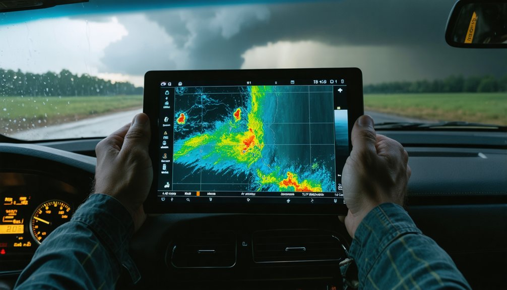
Data-driven analysis keeps you alive when storms evolve faster than instinct can process. Without live Doppler radar, you’re reacting to conditions that already changed. You can’t detect mesocyclone tightening, hook echo shifts, or secondary tornado formation without continuous updates. Static information leaves your escape routes vulnerable and your decisions delayed. Real-time data lets you set automatic departure triggers before conditions deteriorate. Master these systems, and every critical decision becomes faster, sharper, and survivable.
Key Takeaways
- Real-time radar detects storm shifts, mesocyclone cycling, and tornado formation, giving chasers critical lead time before conditions become life-threatening.
- Pre-established data thresholds trigger automatic departure decisions, eliminating dangerous hesitation when storms evolve rapidly near chasers.
- Live Doppler radar continuously updates storm position and motion, enabling accurate escape route planning before options narrow.
- Data-driven timing reduces exposure to hazardous driving conditions, including wet pavement, poor visibility, and storm-related congestion.
- Static or historical weather information cannot predict rapid storm changes, making real-time data essential for survival.
What Makes Storm Chasing Deadly Without Real-Time Data?
Without real-time data, storm chasing becomes a series of irreversible gambles. You’re steering through dynamic atmospheric systems using static information, which fails to account for weather variability that unfolds in minutes.
Historical patterns help you anticipate general storm behavior, but they can’t tell you when a tornado cycles, shifts direction, or spawns a secondary funnel downstream.
Without live Doppler radar, you lose the ability to track hook echoes, rotation signatures, and rear-flank downdrafts before they become lethal threats.
You’re reacting instead of anticipating, which eliminates your escape margin. Roads that appeared safe become traps when storm motion changes unexpectedly.
Missing that data doesn’t just compromise your scientific objective—it strips away your ability to make calculated, autonomous decisions when conditions deteriorate rapidly.
How Live Radar Keeps Chasers Ahead of Sudden Storm Shifts
Live radar gives you a continuous, high-resolution feed of storm position and motion, which means you’re tracking atmospheric changes as they occur rather than inferring them from a model run completed hours earlier. When a storm pattern shifts—cycling into a new mesocyclone or producing a secondary tornado downstream—you detect that deviation immediately rather than after repositioning.
Radar fusion, which integrates Doppler velocity data with satellite imagery and surface observations, sharpens that picture further, letting you distinguish rotation signatures from precipitation clutter with greater confidence. That precision matters because misreading a hook echo or missing a direction change can eliminate your escape margin entirely.
Acting on current observational data rather than static forecasts keeps your decision window open and your route options intact before conditions force a reactive, higher-risk response.
How Chasers Plan Escape Routes Before a Storm Cuts Them Off
Tracking storm motion in real time gives you the raw data, but that data only protects you if your exit strategy is already mapped before the storm closes your options.
Effective escape planning requires continuous risk assessment of three critical variables:
- Storm vector – Confirm apparent motion before repositioning; never assume a static forecast holds.
- Road network geometry – Identify perpendicular escape routes that move you away from the storm’s projected path.
- Emergency communication access – Know your coverage zones so you can receive updated warnings and coordinate if conditions deteriorate.
Avoid placing yourself in the storm’s direction of travel. Crossing in front of a tornadic circulation isn’t bold—it’s a planning failure.
Your freedom of movement depends on deciding early, not reacting late.
How Predictive Storm Models Help Chasers Position Safely
Escape routes keep you mobile, but predictive storm models tell you where to position before mobility becomes the issue. Storm modeling integrates Doppler radar feeds, wind shear measurements, and atmospheric pressure data to forecast trajectory and intensity before you’re reacting under pressure.
Predictive analytics processes historical patterns alongside real-time variables, identifying storm behavior that traditional forecasting methods miss. That means you’re choosing your intercept position based on probabilistic storm motion, not guesswork.
Machine-learning models flag likely intensification zones, giving you time to select roads with clear sight lines and open escape corridors.
When storm structure evolves rapidly, forecast data paired with real-time observation keeps your positioning accurate. You’re not chasing blind—you’re operating with calculated precision before conditions force a reactive decision.
How Chasers Spot Wall Clouds and Hook Echoes Early
Positioning matters, but so does knowing what you’re looking at when storm structure begins to organize. Wall clouds and hook echoes are your earliest visual and radar indicators of rotating, potentially tornadic circulation.
Spotting them early requires disciplined observation:
- Wall clouds appear as localized lowerings beneath the rain-free base — persistent rotation and rapid vertical motion signal intensification.
- Hook echoes on Doppler radar indicate inflow wrapping around a mesocyclone, often preceding tornado touchdown by critical minutes.
- Combining radar signatures with ground-level visual structure confirms whether you’re reading genuine rotation or a misleading artifact.
Acting on these indicators before confirmation keeps you out of debris fields and precipitation cores that obscure your awareness. Early identification isn’t caution — it’s your competitive advantage over a storm that won’t wait.
Early identification of wall clouds and hook echoes gets you ahead of the storm’s organization, but one region demands a different level of caution: the bear’s cage. This precipitation-wrapped zone can conceal an active tornado, stripping you of visual confirmation until it’s too late to reposition.
Effective risk assessment here depends on layered data. You’ll cross-reference Doppler radar returns, hook echo geometry, and RFD boundaries to map storm structure before committing to any route. When radar uncertainty is high, you treat the precipitation core as actively dangerous—no exceptions.
Ground-level observations supplement radar gaps, but don’t substitute for continuous data review. Your escape route stays open, your positioning stays conservative, and your decision to exit comes before visibility degrades—not after. Data keeps that margin intact.
Why Driving Kills More Storm Chasers Than the Storm Does
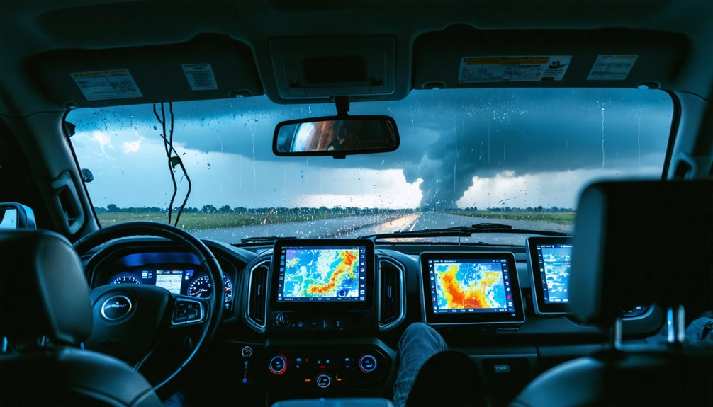
When you analyze storm chaser fatalities, the data consistently points to vehicle collisions—not tornadoes—as the primary cause of death.
Wet roads, reduced visibility, and congested chaser traffic compound risk at every repositioning decision.
You face the greatest danger not when you’re stationary and observing, but when you’re moving through deteriorating conditions with limited reaction time.
Integrating real-time radar updates and storm motion data into your route decisions directly cuts the time you spend driving in high-risk conditions, reducing your overall exposure to the hazard that actually kills most chasers.
Roads Claim More Lives
How does storm chasing actually kill most of its practitioners? Not the tornado — the road does.
Three driving conditions consistently prove fatal:
- Wet pavement and reduced visibility compress your reaction time to near zero during repositioning maneuvers.
- Storm fatigue on long return drives degrades judgment and reflexes, turning routine highway miles into high-risk exposure.
- Equipment reliability failures — GPS errors, radar lag, or power loss — force reactive decisions that push you into dangerous traffic situations.
You’re statistically more likely to die in a collision than in a debris field. Chaser congestion around active storms compounds this risk, turning rural county roads into unpredictable corridors.
Data that sharpens your timing reduces miles driven under compromised conditions, directly cutting your highest-probability threat.
Visibility Amplifies Driving Danger
Wet pavement and chaser congestion already define your highest-probability kill zone, but visibility collapse turns manageable driving risk into something far more unforgiving.
Rain-wrapped tornadoes, blowing debris, and heavy precipitation cores generate optical obstructions that eliminate your margin for error almost instantly. At night, those visibility hazards compound further—headlights reflect off wall-to-wall precipitation, masking road edges, stopped vehicles, and storm structure simultaneously.
Your reaction window shrinks to near zero. Data-driven timing decisions directly counter this threat. When radar feeds and real-time storm motion data inform your departure window, you’re not repositioning through the worst optical obstructions at peak storm intensity.
You’re moving earlier, with clearer sightlines and better situational control. Visibility loss isn’t survivable through instinct alone—it requires precise, data-informed execution.
Data Reduces Driving Risk
Driving kills more storm chasers than tornadoes do—and that inversion of expected risk defines where data-driven decision-making delivers its highest return.
Data visualization and storm segmentation let you exit before conditions deteriorate, not after.
Three decisions where data directly cuts driving risk:
- Departure timing — Real-time radar confirms when a storm has passed peak intensity, preventing unnecessary repositioning in wet, low-visibility conditions.
- Route selection — Storm segmentation isolates individual cell motion vectors, helping you identify which roads keep you perpendicular to the storm’s track rather than parallel to it.
- Night chase avoidance — Forecast data reveals diminishing intercept value after dark, giving you objective justification to stand down before drowsy driving compounds the hazard.
Your greatest threat sits behind the wheel—data keeps it there.
How Real-Time Data Sharpens Split-Second Field Decisions
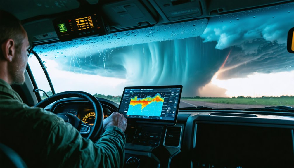
When you’re actively chasing, real-time Doppler radar updates give you the fractional-minute lead time needed to react before a storm cycles or shifts trajectory. You can’t rely on pre-chase convection models once conditions evolve rapidly—live feeds of wind shear, rotation signatures, and storm motion vectors tell you where dangerous positioning begins.
That same continuous data stream lets you assess escape routes dynamically, so you’re making exit decisions based on current storm behavior rather than assumptions that may have expired minutes ago.
Radar Updates Enable Quick Reactions
Rapid radar updates give you an immediate edge over storms that can shift track, cycle, or intensify within minutes. When tornado formation begins downstream of a previous funnel, delayed data means delayed decisions—and delayed decisions cost lives. Continuous Doppler feeds let you track storm intensification as it happens, not after it’s already reshaped your escape corridor.
Three radar-driven actions protect your position:
- Monitor rotation signatures to detect mesocyclone tightening before a tornado touches down.
- Track storm motion vectors to confirm whether the cell is accelerating, turning, or splitting.
- Reassess your escape route each time a new radar sweep confirms directional changes.
You control your safety margin. Real-time radar keeps that margin measurable, not assumed.
Live Data Prevents Dangerous Positioning
Tracking storm vectors and rotation signatures keeps your radar useful—but the data’s real value shows up the moment it shapes where you stand. Live feeds eliminate the guesswork that locks you into a static position while a tornado shifts trajectory.
Through data visualization, you’re mapping hook echoes, precipitation cores, and wall cloud boundaries in real time—not reacting to outdated model outputs.
Storm segmentation lets you isolate discrete convective cells, preventing misidentification of a secondary funnel forming downstream. That distinction is operationally critical. If you’re positioned relative to the wrong cell, your escape route collapses fast.
Live data keeps your situational picture current, your margins calculable, and your movement intentional. You’re not guessing where the storm goes—you’re reading it and staying ahead.
Real-Time Feeds Guide Escape Routes
How fast a storm changes direction determines whether your escape route stays open or closes permanently. Real-time feeds eliminate guesswork by delivering continuous positional updates through data visualization platforms that render storm segmentation boundaries clearly against your road network.
Use live data to execute three critical decisions:
- Confirm storm motion vector before committing to any repositioning move.
- Identify segmented storm cells that may spawn secondary tornadoes downstream of your current position.
- Verify road escape corridors remain perpendicular to the storm’s tracked trajectory.
Observational data outperforms short-term convection models once you’re in the field. Acting early—before visibility degrades—keeps your options open. Waiting for visual confirmation narrows those options permanently. Your freedom to exit depends entirely on data processed before conditions force a reactive decision.
Why Real-Time Data Overrides Instinct When Storm Structure Changes Fast
When a storm cycles or abruptly shifts direction, your instincts—rooted in what the storm looked like minutes ago—can place you directly in a new tornado’s path. Instinct processes outdated visual cues; real-time data integration processes current atmospheric conditions. That distinction can determine your survival.
Your instincts are anchored in the past. Real-time data lives in the present. Only one keeps you alive.
Rapid mesocyclone reorganization, multiple vortex development, and directional wobbles outpace human perception. You can’t visually track rotation signatures hidden inside a precipitation core.
Real-time Doppler feeds with high sensor accuracy cut through that uncertainty, delivering updated storm motion vectors before structural changes become visible from your position.
When you override instinct with current observational data, you’re not abandoning judgment—you’re sharpening it. Acting on a two-minute-old mental model during a fast-evolving storm is a margin you can’t afford to lose.
The Positioning Rules and Departure Protocols That Prevent Fatalities
When you’re actively chasing, your positioning rules aren’t suggestions—they’re the operational boundary between controlled observation and entrapment.
You must identify the storm’s apparent motion before committing to any route change, keeping your escape vector perpendicular to or ahead of the storm’s direction of travel.
Your departure decision can’t wait until visibility degrades; you need pre-defined trigger conditions—such as a narrowing road network, confirmed cyclic activity, or radar-indicated acceleration—that force an early exit before conditions make repositioning dangerous.
Optimal Storm Positioning Rules
Positioning yourself correctly relative to a tornadic storm is the single most consequential decision you’ll make during a chase, and the margin for error is narrow. Storm dynamics shift rapidly, making data integration essential before every repositioning move.
Follow these rules to maintain safe placement:
- Identify storm motion first — Confirm the tornado’s direction and speed using real-time Doppler before moving, not after.
- Stay southeast of the mesocyclone — This keeps you outside the primary damage path while maintaining visual contact with the wall cloud.
- Keep your escape route perpendicular — Roads running south or east let you exit quickly without crossing the storm’s projected track.
Acting on current observational data rather than assumptions keeps you free to maneuver and alive to chase again.
Early Departure Decision Protocols
Leaving too late is how chasers die. You must establish departure triggers before you’re in the field, not while a wedge tornado is bearing down on your position. Set hard thresholds: if storm motion shifts toward your escape route, you leave immediately. No negotiation.
Data analytics removes the hesitation that kills. Feed your decision framework with real-time Doppler, atmospheric pressure trends, and wind shear vectors. When those variables cross your predetermined limits, departure isn’t a judgment call—it’s an automatic response.
Weather satellite imagery confirms mesoscale shifts that ground-level observation misses entirely. If the storm structure reorganizes and your exit corridor tightens, you’re already too late to debate it.
Act early. Your escape route closes faster than your perception of danger develops. Protocols protect you precisely when instinct fails.
Escape Route Planning Strategies
Early departure protocols only protect you if there’s somewhere to go. Escape route planning transforms raw meteorological data—radar vectors, storm surge projections, flood forecasting outputs—into actionable exit corridors before conditions deteriorate.
Three non-negotiable positioning rules:
- Identify your exit before you commit to a position—know which roads remain passable given current storm motion and flood forecasting data.
- Never place the storm between you and your escape route—track radar continuously to confirm you’re not in the projected path.
- Reassess every repositioning move against storm surge risk—low-lying roads flood rapidly, eliminating options you’re counting on.
You maintain freedom of movement only when data informs your route choices in advance. React late, and the storm controls your decisions—not you.
Frequently Asked Questions
How Do Chasers Communicate Real-Time Data Findings to Emergency Management Teams?
You’ll relay real-time data findings through satellite integration and mobile alerts, transmitting storm location, trajectory, and rotation signatures directly to emergency management teams, enabling faster, more accurate warnings that empower communities to make autonomous protective decisions.
What Certifications or Training Do Storm Chasers Need Before Using Meteorological Tools?
You don’t face mandatory certification requirements, but you’ll strengthen storm safety by completing NWS SkyWarn training, studying Doppler radar interpretation, and mastering escape route planning before deploying meteorological tools in active chase environments.
How Does Data-Driven Storm Chasing Contribute to Improving Public Tornado Warning Systems?
You’re directly improving public tornado warnings when you collect real-time field observations, validate predictive modeling against actual storm behavior, and refine historical patterns—helping meteorologists issue faster, more accurate alerts that protect communities from deadly tornado strikes.
What Equipment Do Beginner Storm Chasers Typically Use to Access Live Weather Data?
“Knowledge is power” — you’ll typically use mobile Doppler radar apps, GPS units, and satellite feeds for real-time weather forecasting and storm tracking, keeping you informed and free to make precise, data-driven positioning decisions independently.
How Do Storm Chasing Teams Coordinate Data Sharing Between Multiple Vehicles in the Field?
You’ll synchronize data across vehicles using shared mobile networks, transmitting real-time Doppler feeds and satellite imagery through group communication platforms, ensuring every team member’s positioning decisions reflect the same continuously updated atmospheric picture simultaneously.
References
- https://www.instagram.com/reel/DWCPQK1DIIf/
- https://www.pbs.org/newshour/science/inside-the-dangerous-and-unpredictable-science-of-storm-chasing
- https://www.reddit.com/r/stormchasing/comments/lvub71/how_important_are_storm_chasers_in_giving_data_or/
- https://en.wikipedia.org/wiki/Storm_chasing
- https://crazystormchasers.com/enhancing-storm-chaser-safety-through-data-driven-analysis/
- https://crazystormchasers.com/why-is-interpreting-meteorological-data-crucial-for-storm-chasers/
- https://www.youtube.com/watch?v=6otZLjSZvPU&vl=en
- https://www.youtube.com/watch?v=rhI__lS3nEo
- https://www.youtube.com/watch?v=By_b0Fj99yE