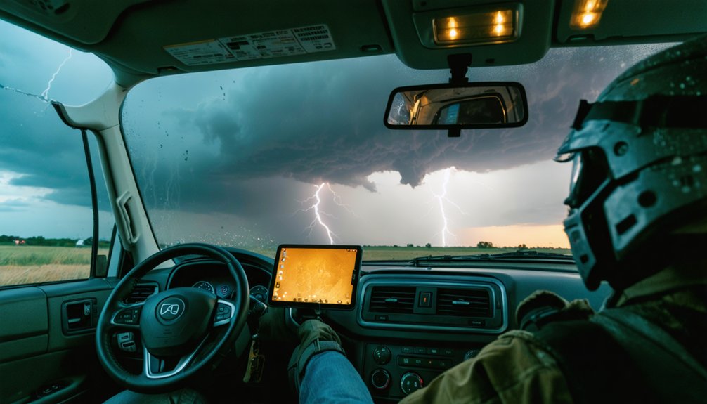
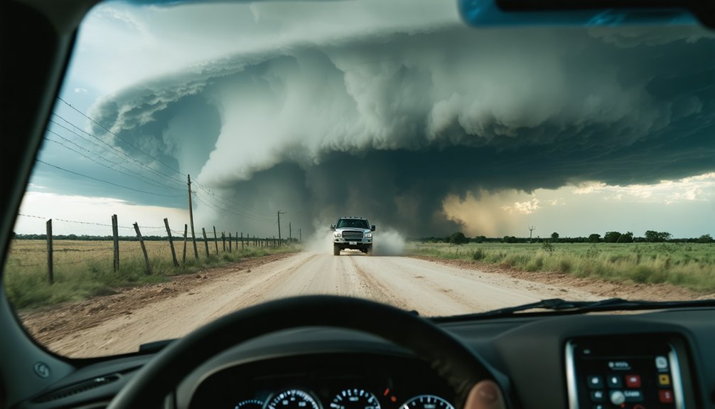
When analyzing a road network for safe storm chasing, you need to identify whether you’re operating in a grid or sparse network before entering any warned area. Grid roads give you multiple escape options, while sparse networks can leave you with a single exit a fast-moving storm can cut off instantly. You’ll also need to account for flood-prone segments, debris hazards, and chaser crowding. Keep exploring to sharpen your operational edge.
Key Takeaways
- Grid road networks offer multiple escape routes, while sparse rural networks increase trapping risk when storms accelerate unexpectedly.
- Pre-mapping flood-prone segments and unpaved roads helps identify potential hazards before entering a storm chase area.
- Single-access points like bridges and underpasses are critical failure points requiring identification during pre-entry route planning.
- Always confirm at least two verified exit routes before entering any storm chase operational area.
- Understanding road network type beforehand determines available escape margins and directly influences repositioning speed and safety.
Why Road Networks Can Make or Break Your Chase
The road network surrounding your target area isn’t just a convenience—it’s an operational constraint that directly determines how safely you can approach, reposition, and exit a storm. Before you commit to a target, you need to evaluate road geometry, traffic flow patterns, and road maintenance history along every corridor you might use.
A poorly maintained county road that floods after half an inch of rain can eliminate your only southern escape route. Dense urban networks slow repositioning through congestion and signals, while sparse rural networks create trapping risk when storms accelerate.
You’re not just choosing where to chase—you’re choosing which constraints you’re willing to accept. Identifying those constraints before you’re inside a warned area keeps your options open when conditions deteriorate fast.
Grid Roads vs. Sparse Networks: Where Storm Chasing Gets Dangerous
Where you chase determines how much margin you have when a storm accelerates or shifts direction. Grid-style rural roads give you turning options, multiple exit vectors, and faster repositioning. Sparse networks strip that freedom away fast.
Your location sets your margin. Grid roads give options. Sparse networks take them away fast.
Route prioritization shifts dramatically between these two environments:
- Grid roads offer predictable east-west and north-south escape paths with minimal dead ends.
- Sparse networks force single-road dependency, increasing trapping risk when storms move quickly.
- Urban congestion kills repositioning speed through traffic signals, bottlenecks, and restricted maneuvering space.
- Single-access crossings—one bridge, one underpass—become critical failure points under flood or debris conditions.
Identify your network type before you deploy. Your escape window depends entirely on the road geometry you’ve already mapped.
How to Map Escape Routes Before You Enter a Warned Area
Before you enter a warned area, you need at least two mapped exit routes—not one, not a rough mental outline, but two confirmed paths you’ve verified against current road conditions. Cross-reference your offline maps against bridge locations, flood-prone segments, and unpaved connectors that rain can render impassable within minutes.
Establish emergency staging points along each route—specific intersections or pull-offs where you can reassess conditions without blocking traffic or emergency responders. These aren’t optional markers; they’re operational anchors.
Build your communication protocols before departure. Confirm who receives your GPS position, how often, and what triggers an emergency check-in. Mobile data fails during severe weather, so pre-load routes and designate a radio-based backup contact.
Freedom of movement depends entirely on the preparation you complete before the storm forces your hand.
Road Hazards That Can Cut Off Your Exit Fast
Once you enter a warned area, three road hazards can eliminate your exit almost instantly: rising floodwater across a crossing, post-storm debris blocking your planned route, and saturated unpaved roads that sink your vehicle before you can reverse course.
You should treat each of these as a hard cutoff, not a slowdown, because conditions can shift from passable to impassable within minutes.
Pre-identify which segments of your route are flood-prone, debris-exposed, or unpaved so you can abandon them proactively rather than discovering the problem at the point of no return.
Flooded Roads Block Exits
Flooded roads can shut down your exit options faster than almost any other hazard you’ll face during a chase. Water depth is deceptive—six inches can stall your engine, and twelve inches can float most vehicles. Don’t gamble with vehicle safety by assuming a crossing is passable.
Watch for these four flood-related exit killers:
- Rising creek crossings that appear shallow but surge within minutes during heavy rainfall
- Low-water bridges that disappear completely once upstream runoff arrives
- Dip roads and underpasses that collect standing water and trap vehicles instantly
- Post-tornado drainage failures where culverts and ditches overflow onto previously dry routes
Pre-map every crossing before you enter a warned area. Once water moves in, your options disappear fast.
Debris Eliminates Escape Paths
When a tornado crosses your planned exit corridor, debris doesn’t just litter the road—it eliminates it. Downed power lines, collapsed structures, and scattered wreckage convert passable routes into impassable ones within seconds. These debris hazards give you no warning and no negotiation.
You can’t rely on a single exit once storm damage enters the picture. Road obstructions from recent tornado paths can block bridges, intersections, and rural connectors simultaneously, removing multiple options at once. Pre-mapped alternative routes aren’t optional—they’re your operational insurance.
Before entering any warned area, identify at least two exits that don’t share a common corridor. Check post-event road conditions when available. Your freedom to reposition depends entirely on maintaining routes the storm hasn’t already taken from you.
Unpaved Roads Trap Vehicles
Unpaved roads can neutralize your exit faster than any forecast failure. Rain transforms packed dirt into mud hazards within minutes, and gravel stability collapses under sustained moisture. You’re not trapped by the storm—you’re trapped by your own route selection.
Before entering any target area on unpaved roads, verify these four conditions:
- Surface composition – Distinguish between caliche, clay, and gravel; clay fails fastest under saturation.
- Drainage grade – Flat unpaved roads pool water; crowned or sloped surfaces shed it faster.
- Recent precipitation history – Pre-existing soil saturation accelerates mudding even under light rain.
- Exit redundancy – Confirm at least one paved alternative before committing to gravel corridors.
Your vehicle’s 4×4 capability won’t save you once mud hazards exceed traction limits. Plan paved exits first.
Defensive Driving Rules Every Storm Chaser Should Follow
Storm chasing demands the same defensive driving discipline as any high-risk vehicle operation, but the consequences of lapses are amplified by rapidly changing conditions. Keep your seat belt fastened at all times, and never let radar screens, cameras, or radio traffic pull your attention from the road.
Maintain legal speeds, observe stop signs, and activate headlights whenever rain, dust, or hail cuts visibility. Pre-chase vehicle maintenance confirms your brakes, tires, and fuel supply can handle sustained repositioning without mechanical failure mid-operation.
Chase with a dedicated co-pilot so one person drives while another monitors weather data. Establish emergency communication protocols before departure, ensuring HAM radio or push-to-talk backups function if cellular networks drop. Discipline at every step preserves the route options that keep you mobile and safe.
How Chaser Crowding Turns Safe Roads Deadly
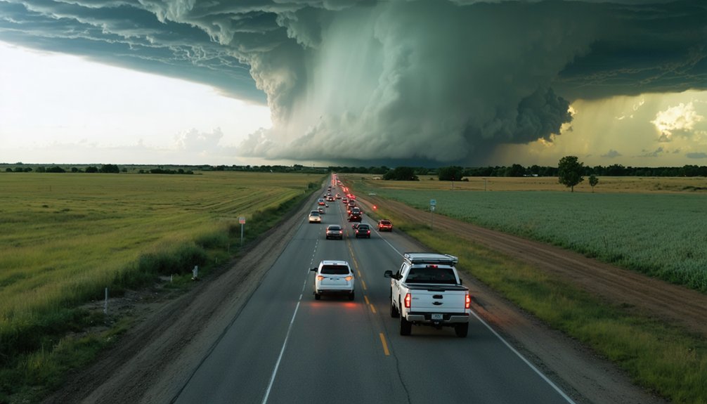
How quickly does a manageable rural road become a traffic bottleneck? Faster than most chasers expect. When convergence spikes near a high-profile storm, crowd management collapses, and roads that offered clean escape routes become gridlocked corridors.
Watch for these four critical failure points:
- Single-bridge crossings become impassable when multiple vehicles queue simultaneously.
- Intersection blocking prevents emergency responders from reaching affected areas.
- Competitive positioning encourages reckless passing on narrow county roads.
- Post-tornado debris routes draw identical traffic, eliminating your backup exit.
Road sharing etiquette isn’t optional—it’s operational. You’re responsible for maintaining your own exit window. That means spacing your vehicle appropriately, avoiding cluster viewing spots, and never treating a public road like a personal staging area.
Your freedom to chase depends on disciplined positioning.
Frequently Asked Questions
What Insurance Coverage Is Recommended for Vehicles Used in Storm Chasing?
Sure, insurance policies love storm chasers—said no underwriter ever! You’ll want extensive coverage options including collision, liability, and off-road protection. Review your policy’s exclusions carefully, as high-risk activities often void standard claims automatically.
How Do International Road Networks Compare for Storm Chasing Outside the U.S.?
You’ll find international infrastructure varies widely—road connectivity outside the U.S. often lacks grid-style networks, limiting your escape routes. Assess density, bridge access, and unpaved segments before chasing unfamiliar regions abroad.
Are There Legal Permits Required to Chase Storms on Certain Road Types?
Ever wonder if you’re truly free to chase? Most public roads don’t require permitting requirements for storm chasing, but road usage on private, restricted, or emergency-closed routes can demand authorization — always verify local regulations beforehand.
How Does Nighttime Storm Chasing Change Road Network Analysis Strategies?
Nighttime visibility severely limits your road network analysis, so you’ll need to prioritize well-lit corridors with strong road lighting, pre-map escape routes offline, reduce repositioning speed, and verify bridge conditions before darkness eliminates critical visual reference points.
What Vehicle Specifications Best Support Safe Navigation Through Challenging Chase Networks?
Every second counts—you’ll need vehicle durability and off-road capabilities to survive unpredictable chase networks. Prioritize high clearance, all-terrain tires, 4WD, reliable GPS, and flood-resistant systems to maintain your freedom steering through compromised, debris-strewn chase corridors.
References
- https://www.livingskytours.com/storm-chasing-101/
- https://www.stormchasingusa.com/storm-chasing-and-safety/
- https://www.reddit.com/r/stormchasing/comments/1f0bg6w/do_chasers_really_drive_anywhere/
- https://www.flame.org/~cdoswell/chasesums/Chase_safety.html
- https://stormtrack.org/threads/chase-safety-tips-guidelines-near-tornado-environments.27380/
- https://midweststormchasers.org/safety-tips/
- https://crazystormchasers.com/essential-safety-checklist-for-storm-chasing-expeditions/
- https://crazystormchasers.com/storm-chaser-convergence-problem-too-many-chasers/