For real-time hurricane tracking, your best options are Zoom Earth and Windy.com for free satellite imagery and layered atmospheric data, while RadarScope and RadarOmega deliver professional-grade dual-polarization radar feeds for deeper analysis. The National Hurricane Center remains the gold standard for verified forecasts and historical storm data. You’ll want cross-platform tools that toggle between GFS, ECMWF, and HWRF models for accurate track predictions. Keep exploring to sharpen your storm monitoring strategy.
Key Takeaways
- Zoom Earth offers near-live satellite feeds tracking storms from tropical depression to Category 5, ideal for real-time hurricane monitoring.
- Windy.com layers wind patterns, pressure, and trajectory data while allowing users to toggle between GFS, ECMWF, and ICON forecast models.
- The National Hurricane Center website provides archived storm tracks, intensity curves, and verified historical data for comprehensive storm analysis.
- RadarScope and RadarOmega are top paid apps delivering high-resolution, dual-polarization radar feeds with professional analytical overlays.
- Combining mobile apps for quick alerts with desktop platforms for layered analysis creates an optimal hurricane monitoring strategy.
The Best Hurricane Tracking Apps Right Now
When hurricane season kicks into high gear, having the right tracking app can mean the difference between staying informed and getting caught off guard. You need tools that deliver satellite image updates almost in real time, sharp wind pattern analysis, and multi-layer radar visualization.
Zoom Earth gives you interactive global maps with near-live satellite feeds, tracking systems from tropical depression through Category 5.
Windy.com layers wind pattern analysis over storm trajectories, letting you interpret atmospheric dynamics independently.
Tropical Hurricane Tracker and Huracanes y Tormentas actuales offer route projections, pressure readings, and intensity data in mobile-friendly formats.
For radar depth, RadarScope and RadarOmega stand out among specialists.
Prioritize apps with verified developer support, frequent satellite image updates, and cross-platform access so you control your situational awareness.
Best Websites for Real-Time Hurricane Tracking
For historical hurricane data, the National Hurricane Center’s website archives past tracks, intensity curves, and storm reports. You can cross-reference these against current systems.
That historical context sharpens your coastal impact analysis by letting you compare a developing storm’s behavior against analogous past events.
Combining these platforms gives you satellite coverage, model output, and verified historical records in one independent, self-directed monitoring setup.
Which Hurricane App Has the Most Accurate Data?
When choosing a hurricane app, you’ll want to prioritize platforms that pull directly from trusted model sources like the GFS, European (ECMWF), and National Hurricane Center data feeds.
Apps like Windy.com and RadarScope update their radar and storm data at sub-minute intervals, giving you a measurable edge in fast-moving situations.
Comparing how each app sources and renders forecast model data tells you more about its real accuracy than user reviews alone.
Top Data Accuracy Leaders
Three apps stand out when data accuracy defines your hurricane tracking strategy: RadarScope, RadarOmega, and Windy.com. Each pulls from professional-grade sources, giving you verified meteorological data rather than filtered consumer summaries.
RadarScope delivers dual-polarization radar feeds directly from NEXRAD stations, minimizing processing delays.
RadarOmega builds on similar radar infrastructure while adding deeper analytical layers for storm structure interpretation.
Windy.com earns its place through strong data integration, combining ECMWF, GFS, and ICON models alongside real-time satellite imagery, letting you cross-reference multiple forecast systems simultaneously.
You’re not guessing when you use these tools — you’re reading the same data frameworks meteorologists rely on. That independence from secondhand reporting gives you the situational awareness to make informed decisions before, during, and after a storm’s approach.
Real-Time Update Frequency
Update frequency separates functional hurricane tools from genuinely reliable ones. When you’re tracking an active storm, data latency directly affects your decisions. A 15-minute-old wind field reading isn’t the same as a 90-second-old one when a system is rapidly intensifying.
Zoom Earth refreshes satellite imagery nearly in real time, giving you a current visual of storm structure without significant lag. Windy.com pulls model data on tight refresh cycles, so you’re seeing conditions that reflect recent atmospheric changes.
RadarScope and RadarOmega update radar returns every two to three minutes, which matters when you’re monitoring rainband movement at the local level.
Always check a platform’s stated refresh rate before trusting it during an active event. Delayed data during a fast-moving hurricane can cost you critical preparation time.
Comparing Forecast Model Sources
Accuracy in hurricane forecasting ties directly to which numerical weather prediction models an app pulls from. You’ll want apps integrating GFS, ECMWF, or HWRF data, since these models carry distinct strengths across track and intensity prediction.
ECMWF consistently outperforms GFS on extended-range track forecasts, while HWRF handles rapid intensification scenarios better.
Apps like Windy.com let you toggle between models directly, giving you raw analytical control.
Historical storm data matters here too. Platforms incorporating verified historical storm data can validate model performance against past events, sharpening your confidence in outputs.
With climate change impacts shifting storm intensification patterns, you’ll benefit from apps regularly updating their ensemble modeling frameworks.
Prioritize platforms showing model transparency over those delivering only blended, opaque forecast outputs.
Free vs. Paid Hurricane Tracking Tools
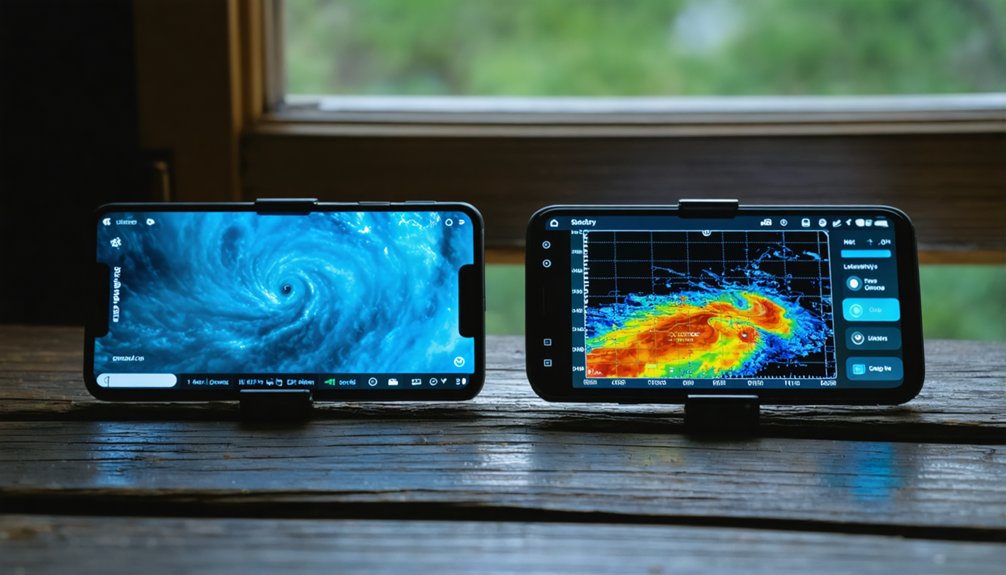
When choosing between free and paid hurricane tracking tools, the decision often comes down to data depth and update frequency.
Free options like Zoom Earth and Windy.com deliver solid satellite imagery and layered meteorological data without cost. Their user interface supports quick visual interpretation, and data reliability holds up well for general monitoring.
Free platforms like Zoom Earth and Windy.com offer reliable satellite imagery and meteorological data at no cost.
Paid tools like RadarScope and RadarOmega push further. You’re getting higher-resolution radar, faster refresh rates, and professional-grade overlays that matter when a storm’s intensifying fast.
If you’re tracking landfall timing or analyzing rainband structure, that precision isn’t optional.
Your budget doesn’t have to limit your situational awareness. Start with free platforms for daily monitoring, then invest in a paid tool when active systems threaten your region directly.
Best Hurricane Tracking Tools for Mobile vs. Desktop
Platform choice shapes how you access and interpret storm data just as much as whether a tool is free or paid.
On mobile, apps like Zoom Earth and Tropical Hurricane Tracker deliver fast satellite updates with a streamlined user interface built for quick field checks. You get portability, push alerts, and radar overlays without sitting at a workstation.
Desktop platforms like Windy.com and RadarScope offer deeper data integration, letting you layer wind fields, pressure gradients, and precipitation bands across a wider display. You can analyze multiple storm systems simultaneously without the screen constraints of a phone.
Your best setup combines both: use mobile for real-time alerts during movement and desktop for detailed analysis before a storm makes landfall. Each platform serves a distinct operational role.
Best Hurricane Apps for Radar and Rainfall
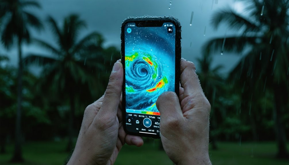
When it comes to radar and rainfall tracking during hurricane season, you’ve got a few standout options worth knowing. Apps like RadarScope and RadarOmega give you high-resolution radar data, letting you identify rain bands, intense cells, and storm movement with precision.
For real-time rainfall monitoring, these tools let you layer precipitation data over storm tracks so you can quickly assess local impact as a system approaches.
Top Radar App Options
Radar apps give you a granular, localized view of a hurricane’s rainfall bands, cell intensity, and short-term movement that satellite-based tools can’t match.
For serious storm visualization, RadarScope and RadarOmega consistently rank as top-tier options. Both deliver professional-grade NEXRAD data with minimal latency, letting you interpret dual-polarization returns, velocity data, and reflectivity gradients independently. You’re not waiting for a broadcaster to frame the information — you’re reading it directly.
Windy.com bridges the gap between radar and satellite imagery, layering precipitation data over global wind models for broader contextual awareness.
For mobile-first users, Radar Meteorológico on Google Play offers accessible real-time precipitation tracking.
Choose tools that update automatically, display multiple data layers, and don’t lock core features behind paywalls.
Tracking Rainfall In Real-Time
Knowing which radar app to use is only half the equation — understanding how to read rainfall data in real-time is what turns raw radar output into actionable storm intelligence. Rainfall patterns shift fast during tropical systems, and precipitation intensity can spike from moderate to extreme within minutes.
Apps like Windy.com and RadarScope let you monitor color-coded reflectivity layers that distinguish light rain from dangerous heavy bands. You’ll want to track where the heaviest cells are positioned relative to your location and which direction they’re moving.
Watching precipitation intensity trends over 15–30 minute intervals reveals whether a system is strengthening or weakening. Don’t rely on a single snapshot — loop the radar to identify movement speed, band rotation, and clustering behavior that signals escalating flood or wind risk.
Hurricane Trackers That Cover All Tropical Weather
During an active hurricane season, you’ll often deal with multiple simultaneous threats—not just hurricanes, but tropical storms, tropical waves, tropical depressions, cold fronts, and even desert dust plumes.
Apps that consolidate all these systems into a single interface give you a decisive advantage. Platforms like Windy.com and Zoom Earth layer satellite imagery across multiple weather phenomena simultaneously, sharpening your storm prediction capabilities without forcing you to toggle between separate tools.
You’ll track intensity shifts, pressure drops, and trajectory probabilities across every active system in one view. This consolidated approach matters most when two or three systems develop concurrently.
Instead of fragmenting your attention across multiple sources, you maintain a clear, unified operational picture—giving you the situational awareness needed to make fast, independent decisions during high-stakes weather events.
What Makes a Hurricane Tracking App Worth Using
Prioritize apps that meet these operational benchmarks:
- Near real-time updates from satellite or radar feeds, not delayed data repackaged as current
- Layered visualization that lets you toggle between wind, pressure, precipitation, and trajectory independently
- Cross-platform availability so you maintain access from mobile or desktop during disruptions
- Verified developer support with visible contact information, confirming the source is actively maintained
Apps lacking these traits introduce risk during high-stakes monitoring. Your decisions during a storm depend on tools that perform under pressure.
How to Track a Hurricane’s Path Step by Step
Tracking a hurricane’s path requires layering multiple data sources rather than relying on a single feed. Start with satellite imagery to confirm the storm’s current position and structure.
Then cross-reference that against storm prediction models like the GFS or Euro to identify probable track shifts.
Monitor pressure trends — a dropping central pressure signals intensification.
Next, pull up radar once the system nears land to watch rainband activity and landfall timing.
Set alerts within your chosen app so you’re not manually refreshing every hour.
Compare at least two independent sources before making decisions based on forecast cones.
Finally, check updates every six hours during active development, and every three hours when the storm’s within 48 hours of your location.
How to Use Hurricane Apps to Get Real-Time Alerts
Setting up real-time alerts correctly separates useful hurricane apps from ones you’ll ignore when it matters. Enable push notifications for storm track updates, intensity changes, and watches or warnings affecting your coordinates. Don’t rely on default settings—customize thresholds so you’re only alerted when data is actionable.
- Turn on community alerts within apps like Windy.com to monitor local reports alongside official data.
- Set location-specific radius alerts, not just regional ones.
- Enable emergency preparedness notifications from NOAA-integrated sources inside your app.
- Cross-reference radar apps like RadarScope with satellite tools for short-term impact confirmation.
Checking your alert permissions after each app update prevents silent failures. During active storms, poll your app every 30–60 minutes—automated alerts alone won’t capture rapid intensification cycles fast enough.
Frequently Asked Questions
Can Hurricane Tracking Apps Work Without an Internet Connection Offline?
Like a compass without a map, offline functionality limits your data accuracy severely. Most hurricane tracking apps can’t update satellite or radar feeds without internet, so you’ll lose real-time storm data when you need it most.
Are Hurricane Tracking Apps Safe to Use for Children and Students?
Yes, most hurricane tracking apps are safe for children. You’ll want to enable parental controls to manage access. These data-driven tools support child safety while teaching students real meteorological concepts through interactive satellite and radar visualizations.
How Much Data Do Hurricane Tracking Apps Consume on Mobile Devices?
Hurricane tracking apps’ data usage varies, but you’ll typically consume 10–50MB per session. Prioritize app efficiency by enabling Wi-Fi downloads, limiting background refresh, and choosing lightweight radar layers to preserve your mobile data freedom.
Can I Share Hurricane Tracking Information Directly From These Apps?
Yes, you can share hurricane tracking info directly from apps like Windy.com and Zoom Earth. They’ve built-in weather alert features and location sharing options, letting you push real-time storm data, trajectories, and radar snapshots to contacts instantly.
Do Hurricane Tracking Apps Send Notifications When a Storm Changes Category?
Over 90% of hurricane apps deliver storm warning alerts when intensity shifts. You’ll receive real time weather updates instantly as a storm changes category, keeping you informed and free to act on accurate, timely data.
References
- https://play.google.com/store/apps/details?id=com.jpltech.hurricanetracker&hl=es
- https://apps.apple.com/mx/app/zoom-earth-mapa-del-tiempo/id1531561063
- https://play.google.com/store/apps/details?id=com.neave.zoomearth&hl=es_419
- https://www.univision.com/noticias/meteorologia/las-mejores-aplicaciones-para-estar-alerta-en-la-temporada-de-huracanes
- https://www.windy.com/es/-Seg-de-huracanes/hurricanes
- https://play.google.com/store/apps/details?id=com.meteo.weather.forecast.radar.v2&hl=es
- https://ecosmultimedia.com/5-aplicaciones-clave-para-prepararte-mejor-y-rastrear-huracanes-en-tiempo-real/
- https://esandroid.net/aplicaciones/las-10-mejores-aplicaciones-de-seguimiento-de-huracanes-y-otras-aplicaciones-utiles-para-huracanes/
- https://apps.apple.com/cr/app/windy-com-meteorología-y-radar/id1161387262
- https://play.google.com/store/apps/details?id=com.tigreapps.huracanestropicales&hl=es_MX