To use drones effectively in emergency response, you’ll need to map priority zones using GIS tools, match drone type to your specific scenario, and build SOPs covering pre-flight checks, in-flight communication, and post-mission logging. Embed your drone team within the Incident Command System and establish redundant communication links. You’ll also need to stay current with FAA Part 107 rules and file appropriate waivers. The details ahead will sharpen your entire operational framework.
Key Takeaways
- Map priority zones using GIS platforms to identify high-risk areas like airfields, power substations, and densely populated regions before emergencies occur.
- Match drone type to the mission—fixed-wing for broad surveillance, rotary-wing for confined spaces and supply delivery.
- Establish SOPs covering pre-flight checklists, altitude corridors, communication protocols, and post-mission data logging.
- Embed drone operations within the Incident Command System and appoint a Drone Team Leader for streamlined coordination.
- Maintain FAA Part 107 compliance by keeping certifications current, filing necessary waivers, and documenting all flight authorizations.
Map Your Priority Zones Before Anything Else
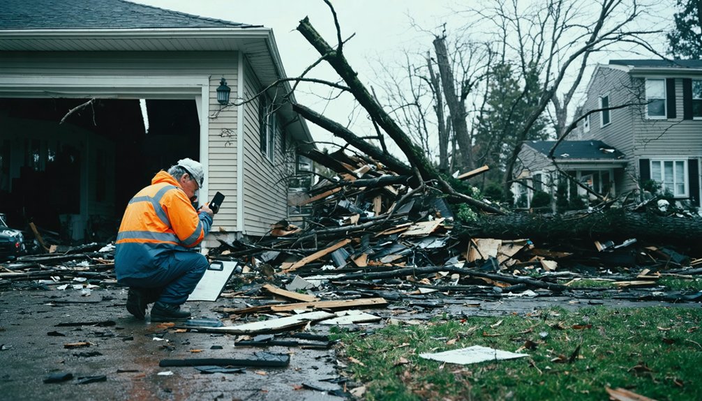
Before deploying a single drone, you’ll need to identify and map your priority zones — airfields, power substations, sensitive rooftops, and high-density population areas that carry the greatest operational risk.
Priority zone identification isn’t optional; it’s foundational to every decision that follows.
Priority zone identification isn’t a starting point — it’s the backbone every operational decision depends on.
Start your risk factor assessment by analyzing terrain complexity, access point limitations, and proximity to vulnerable populations.
Layer that data into a GIS platform so your team can visualize threat concentrations before boots hit the ground.
Assign each zone a risk tier based on consequence severity and operational sensitivity.
You’ll use these tiers to allocate drone assets efficiently, ensuring your highest-risk locations receive immediate coverage.
Without this map, you’re guessing — and in emergency response, guessing costs lives.
Choose the Right Drone for Emergency Response
Once your priority zones are mapped, hardware selection becomes your next critical decision. Match your drone capabilities directly to your emergency scenarios—don’t over-engineer or under-equip.
Deploy fixed-wing drones when you need extended range and broad surveillance coverage across large terrain. They’ll cover ground faster and stay airborne longer.
Switch to rotary-wing models when you’re maneuvering through confined spaces, delivering medical supplies, or requiring vertical takeoff without a runway.
Verify battery life supports your full operational window. Confirm payload capacity handles your sensors, cameras, or delivery containers without compromising flight stability.
Check airframe durability against wind, rain, and rough handling.
You’re making field decisions under pressure, so your hardware must perform without compromise. Select equipment that matches your mission’s demands precisely and keeps your team operationally independent.
Build SOPs Covering Pre-Flight, In-Flight, and Post-Mission Reporting
Standard operating procedures lock your drone operations into a repeatable, accountable framework across three distinct phases: pre-flight, in-flight, and post-mission reporting.
Your pre-flight checklist must verify battery voltage, propeller integrity, GPS lock, and payload security before every deployment. Skip nothing—each item protects your mission and your crew.
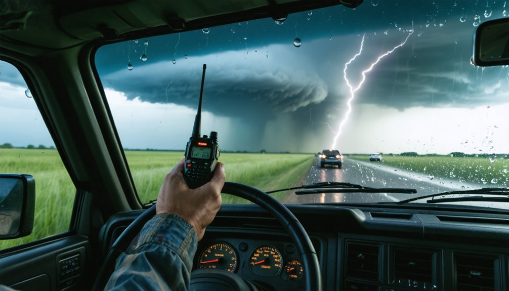
During operations, maintain disciplined in-flight communication across radio, cellular, and satellite links. Define altitude corridors, geographic boundaries, and escalation triggers before takeoff so your team responds without hesitation.
After landing, conduct post-mission analysis immediately. Log flight data, document anomalies, and archive sensor recordings according to your data retention policies. These records protect your organization legally and sharpen future response effectiveness.
SOPs aren’t bureaucratic overhead—they’re the operational backbone that keeps your team autonomous, precise, and accountable under pressure.
Plug Drone Operations Into Your Command Structure
Drone operations fail when they run parallel to your command structure instead of inside it. Embed drone integration directly into your Incident Command System so every flight decision flows through established authority, not around it.
Appoint a Drone Team Leader who owns flight coordination, data relay, and command communication with ICS leadership. Don’t let operators work in isolation — they need direct lines to incident commanders and field units.
Build redundant communication links using radio, cellular, and satellite so command communication never drops during active operations. Connect drone feeds to your GIS dashboards and mobile alert platforms so decision-makers see real-time data instantly.
Train law enforcement and emergency responders together in joint drills so integration holds under actual pressure, not just controlled conditions.
Meet FAA, State, and Departmental Compliance Requirements
Command integration locks in your operational structure — but it doesn’t cover your legal obligations. You must align drone operations with FAA Part 107 rules, state aviation statutes, and your department’s internal policies — simultaneously.
Register every aircraft, maintain current remote pilot certifications, and file waivers for night flights or operations beyond visual line of sight.
Don’t assume yesterday’s approval covers today’s mission. Track regulatory updates actively. FAA rules shift, and state legislatures add restrictions without much warning.
Assign someone to monitor changes and push compliance training across your entire team before those updates take effect.
Document everything — flight authorizations, operator credentials, airspace waivers, and data retention policies.
Auditable records protect your agency legally and demonstrate operational accountability when oversight bodies come asking questions.
Frequently Asked Questions
How Often Should Drone Operators Undergo Refresher Training and Recertification?
You should complete refresher training annually and pursue recertification every two years. Don’t underestimate recertification importance—it keeps your skills sharp. Refresher frequency guarantees you’re current with evolving regulations, technologies, and emergency response protocols.
What Backup Power Solutions Exist When Batteries Fail Mid-Mission?
“Don’t put all your eggs in one basket” — you’ll want redundant power bank solutions on standby. Deploy solar charging panels at base, swap pre-charged batteries immediately, and maintain generator backups to keep your mission airborne without interruption.
How Do Drones Coordinate With Manned Aircraft During Large-Scale Emergencies?
You’ll coordinate drones with manned aircraft using drone integration strategies that follow airspace management protocols. Establish redundant communication links, assign a Drone Team Leader, and sync UAV operations within ICS frameworks to maintain safe, conflict-free airspace during large-scale emergencies.
Which Weather Conditions Should Automatically Ground All Emergency Drone Operations?
Clear skies invite flight, but you must ground all drones when wind speed exceeds limits, visibility limits drop, precipitation levels rise, temperature extremes hit, lightning activity appears, or fog density thickens dangerously.
When breaches occur, you’ll isolate affected systems immediately, activate incident reporting protocols, and audit data encryption integrity. Notify stakeholders, revoke compromised credentials, and document everything to preserve accountability while protecting operational freedom and civil liberties.
References
- https://emergencymgt.com/2025/06/17/the-rise-of-the-drone-integrating-uavs-into-your-emergency-response-plan/
- https://pmc.ncbi.nlm.nih.gov/articles/PMC9280065/
- https://www.dronepilotgroundschool.com/public-safety-drone/
- https://www.dji.com/newsroom/news/dji-and-eena-release-white-paper-sharing-insights-for-improving-emergency-response-with-drones-in-first-responder-scenarios
- https://www.scribd.com/document/881861153/Drone-Technology-in-Emergency-Response
- https://www.ctmuts.org/uploads/5/0/2/6/50266667/droneresponders_five-cs_rev.1.pdf
- https://www.youtube.com/watch?v=HDN8X8hB39s
- https://www.mapnova.com/blog/best-practices-for-building-a-high-performing-drone-program-for-emergency-response
- https://www.airsight.com/blog/building-a-drone-response-plan
- https://www.issuelab.org/resources/21683/21683.pdf