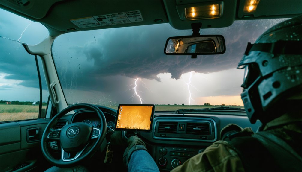
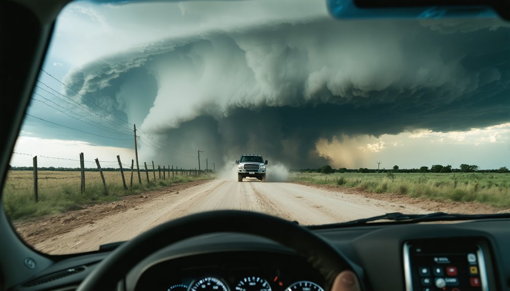
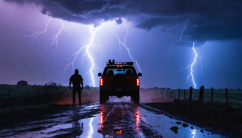
When chasing storms near water bodies, you’ll face compounded hazards like storm surge, flash flooding, and waterspouts that demand sharper decision-making than inland pursuits. Never enter flooded roadways, maintain at least half a mile from active waterspouts, and always pre-plan two independent escape routes. Keep your gear waterproofed, your fuel tank full, and your communication layered with HAM radio and NOAA feeds. The sections ahead break down every critical safety layer you need.
Key Takeaways
- Never enter flooded roads; water depth and currents are unpredictable and can quickly compromise vehicle stability and occupant safety.
- Map at least two independent escape routes before entering flood-prone or water-adjacent areas.
- Maintain at least half a mile from active waterspouts, as they can shift onshore rapidly.
- Use RadarScope, NWS warnings, and FEMA flood maps to continuously monitor storm movement and water hazards.
- Complete SKYWARN® certification and coordinate with emergency management before chasing near water or flood zones.
What Makes Storm Chasing Near Water More Dangerous
Water bodies introduce a layered set of hazards that compound the already demanding conditions of storm chasing. When you’re operating near lakes, bays, rivers, or coastal zones, hydrodynamic hazards emerge quickly — flooded crossings, submerged roads, and storm surge can cut off your escape routes without warning.
Unlike open land chasing, marine navigation principles apply here; water doesn’t behave predictably under severe storm influence, and wave action or surge can reach farther inland than you’d expect. Waterspouts can shift onshore rapidly, closing your safe window in seconds.
You’re also contending with reduced traction, spray-limited visibility, and unpaved coastal access roads that deteriorate fast under rain. These combined factors demand sharper situational awareness, pre-planned exits, and a strict no-complacency standard before you ever reach the water’s edge.
Protective Gear and Vehicle Prep for Water-Adjacent Chasing
Chasing near water bodies demands gear and vehicle readiness that goes well beyond standard storm chasing prep. You’ll face heavy spray, slick surfaces, and rapidly shifting conditions, so protective gear isn’t optional. Wear waterproof outerwear, non-slip footwear, and a helmet when operating near coastal zones or open water. Seal cameras and electronics in waterproof casings before you deploy.
Your vehicle inspection should cover fluids, brakes, tires, and fuel level before every chase. Keep your tank full — flooded routes can force significant detours. Verify that your wipers, headlamps, and communication systems function properly.
Avoid dirt roads near water, since recent rain makes them unstable and unpredictable. A well-prepped vehicle gives you the mobility and reliability you need to stay free and safe simultaneously.
Safe Standoff Distances From Waterspouts and Coastal Cells
Maintaining distance from waterspouts and coastal cells isn’t optional — it’s the margin between a controlled chase and a catastrophic one. Water safety and marine navigation principles both reinforce one rule: respect the hazard zone.
Follow these standoff protocols:
- Keep at least half a mile from any active waterspout — closer means you’re inside the risk envelope.
- Never cut in front of coastal cells; storm motion shifts fast, and you’ll lose your escape window.
- Track rotation continuously using real-time radar so you’re repositioning before the threat reaches you.
- Pre-plan multiple exit routes away from shorelines, bays, and flood-prone coastal roads before the chase begins.
Your freedom to chase depends on staying far enough away to stay operational.
Planning Escape Routes Along Flood-Prone Chase Roads
Before you enter any flood-prone chase corridor, map at least two independent escape routes and identify every low-lying crossing, drainage basin, and coastal flood zone along your planned path.
You’ll want to cross-reference FEMA flood maps, state road condition reports, and local hydrological data to flag segments where water accumulates fastest.
Once you’re in the field, monitor real-time radar and NWS flash flood statements continuously, because a single blocked road can eliminate your primary exit and force you toward rising water.
Pre-Chase Route Mapping
When you’re planning a chase near flood-prone water bodies, route mapping isn’t optional — it’s a core safety procedure. Study the weather pattern and geographic features before departure, so you’re never improvising escapes under pressure.
Build your pre-chase route map around these four priorities:
- Identify multiple exit corridors that move perpendicular to storm motion, not parallel.
- Mark every low-water crossing, bridge, and coastal road as conditional — treat them as closed if rain totals are high.
- Cross-reference state road conditions with real-time radar to flag flood-vulnerable segments early.
- Save offline maps to your device before losing mobile data in remote areas.
Your freedom to chase depends entirely on your freedom to leave — protect that first.
Identifying Flood-Prone Zones
Knowing which zones flood first gives you a critical head start when storm conditions deteriorate faster than expected. Before departure, cross-reference FEMA flood zone maps with local topography to identify low-lying crossings, coastal roads, and river-adjacent routes that activate quickly under heavy rainfall. Mark these water hazards on your navigation system and treat them as conditional closures the moment precipitation intensifies.
Build your escape routes around elevation. Avoid planning primary or secondary exits through any flood zone corridor where runoff concentrates. Check state road condition reports and NWS flash flood watches before you commit to a chase path.
Once you’re mobile, monitor water hazard development continuously—a clear road can become impassable within minutes. Reroute early; never wait for visible flooding to confirm what your maps already told you.
Monitoring Real-Time Conditions
Real-time condition monitoring transforms your pre-planned escape routes from static assumptions into dynamic, decision-ready options.
Historical storm patterns help predict how quickly roads flood, but live data confirms what’s actually happening now. Watch for wildlife disturbance near water edges—it often signals rapidly rising water before instruments catch it.
Track these four data streams continuously:
- NWS alerts — refresh every 10–15 minutes for updated flood warnings affecting your corridor.
- State road condition feeds — confirm whether your escape roads remain passable.
- Radar loop trends — identify cell acceleration or stalling that reshapes your timeline.
- Spotter network reports — receive ground-truth conditions that radar can’t show.
Your freedom to chase depends on your ability to exit.
Real-time monitoring keeps that exit open.
Wet Pavement and Traction Risks on Storm Chase Routes
Wet pavement dramatically reduces tire traction, and on a storm chase route, that loss of grip can compromise your ability to reposition or escape quickly. Reduce your speed before turns, not during them, to maintain vehicle stability on slick surfaces.
Coastal and lakeside roads introduce compounding water safety concerns, where spray, runoff, and standing water can cause hydroplaning within seconds. Avoid unpaved or questionable-surface roads after heavy rainfall, as saturated ground accelerates vehicle instability.
Keep your headlamps on in low-visibility rain conditions so other drivers can see you. Assign a dedicated driver when monitoring radar or filming, eliminating dangerous multitasking.
Treat every wet road as a variable threat, because storm-driven precipitation can shift conditions faster than your reaction time allows.
Why Storm Chasers Must Never Enter Flooded Roadways
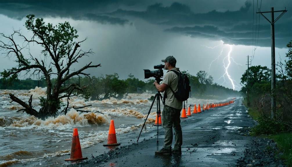
Flooded roadways represent one of the fastest-moving threats a storm chaser can encounter, and entering one can end a chase permanently. Water safety and flood awareness aren’t optional—they’re operational requirements.
Flooded roads don’t give second chances—water awareness isn’t a precaution for storm chasers, it’s a survival requirement.
Just six inches of moving water can knock you down; two feet can sweep your vehicle away.
Never enter flooded roads because:
- You can’t judge depth visually—road markings and surface cues disappear under water.
- Hydroplaning begins instantly, stripping you of steering and braking control.
- Currents beneath standing water are often stronger than they appear from inside the vehicle.
- Escape becomes nearly impossible once water enters the cabin or the current takes control.
Turn around. Reroute early. Your freedom to chase tomorrow depends on the decision you make right now.
Radios, Radar Apps, and Backup Communication for Coastal Chasers
When you’re chasing storms near coastal zones, you can’t rely on a single communication channel—mobile data drops out fast in heavy weather, so you need layered backup systems in place before you leave.
Pair a real-time radar app like RadarScope with a NOAA Weather Radio receiver and a HAM radio to maintain situational awareness even when cell towers fail.
Keep all devices charged, protect them in waterproof casings, and designate a co-pilot to monitor updates so you stay focused on the road and your escape routes.
Real-Time Radar Tools
Coastal storm chasing demands real-time situational awareness, and your radar tools are the backbone of that awareness. Storm surge and water displacement can escalate within minutes, making outdated data genuinely dangerous.
Rely on these four core tools:
- RadarScope or Gibson Ridge – provides dual-pol radar with tilt controls, giving you precise storm structure and velocity data.
- NWS Mobile – delivers official warnings, storm surge forecasts, and coastal flood statements directly from the source.
- Spotter Network app – broadcasts your GPS position and integrates with live chaser reports.
- NOAA Weather Radio – functions when mobile data fails, keeping you connected during network outages.
Cross-reference at least two sources before repositioning. Never trust a single feed near coastal environments where conditions shift rapidly.
Backup Communication Systems
Real-time radar tools keep you informed, but they’re only as reliable as your data connection—and coastal environments will test that connection hard. Salt air, terrain interference, and storm-induced outages can drop your mobile signal without warning.
Carry a NOAA Weather Radio and a HAM radio as non-negotiable backups. These function independently of cellular infrastructure, keeping you connected when apps fail.
Supplement satellite imagery feeds with offline radar snapshots downloaded before deployment.
If you’re running drone surveillance near water, verify your ground station has a dedicated frequency that won’t compete with your communication channels.
Share your GPS coordinates and chase intentions with your team before entry.
Regular radio check-ins aren’t optional—they’re your lifeline when coastal conditions shift faster than any app can refresh.
SKYWARN Training and Legal Rules for Chasing Near Water
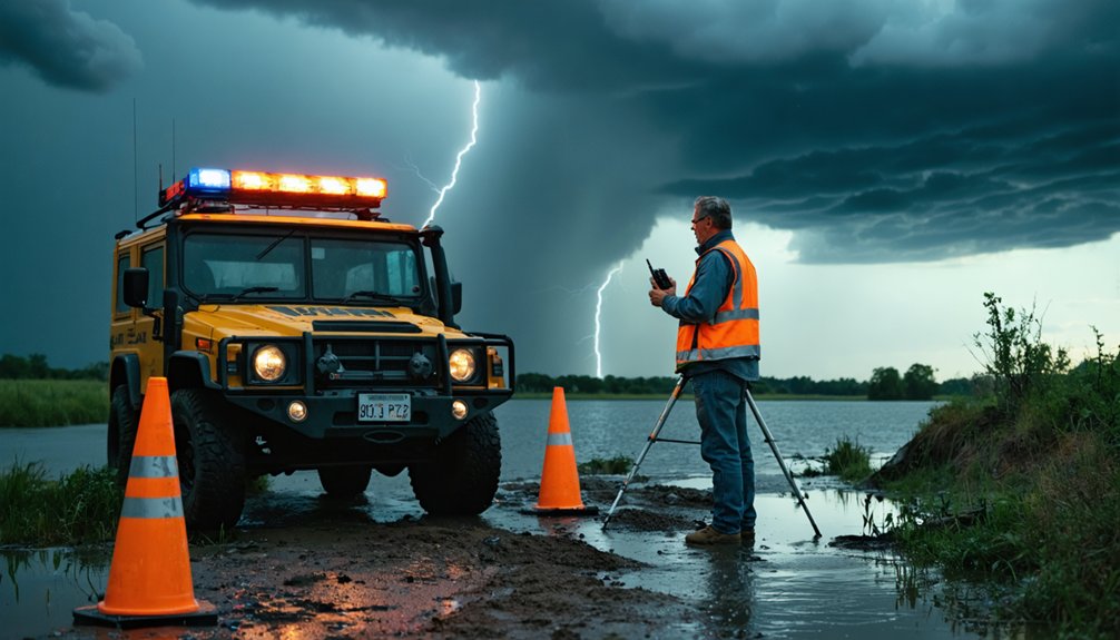
Chasing near water bodies carries unique legal and safety obligations that you can’t afford to overlook, and SKYWARN® spotter training gives you a structured foundation to meet them. Coastal zones introduce storm surge threats and coastal erosion that shift terrain rapidly, demanding sharper judgment and current credentials.
Storm chasing near water demands sharp judgment, current credentials, and legal awareness you simply cannot afford to skip.
Follow these four critical rules:
- Complete SKYWARN® certification before chasing near coastal or flood-prone zones.
- Respect restricted access zones—coastal erosion and storm surge damage often trigger emergency closures with legal consequences for trespassers.
- Coordinate with local emergency management and share your GPS position before entering warned areas.
- Yield immediately to emergency responders and never block evacuation routes or coastal access roads.
Training isn’t optional—it’s your legal and operational edge in high-risk water environments.
Frequently Asked Questions
Can Storm Chasers Legally Film Waterspouts From Private Beachfront Property?
You can’t film from private property without the owner’s permission. Secure explicit filming rights before setup, respect boundaries, and don’t trespass for better waterspout angles — your safety and legal standing both depend on it.
How Do Chasers Coordinate With Local Coast Guard During Active Waterspout Events?
When the sea dances dangerously, you’ll want to sync with Coast Guard via VHF Channel 16. Share your GPS coordinates, maintain water safety awareness, and follow their communication protocols to coordinate movements during active waterspout events effectively.
What Insurance Coverage Do Professional Storm Chasers Typically Carry Near Water?
You’ll typically need specialized liability coverage and insurance requirements that include commercial auto, equipment, and professional liability policies — protecting you, your gear, and third parties when you’re chasing near unpredictable coastal or open-water environments.
Are There Specific Weather Apps Designed Exclusively for Coastal Storm Chasing?
No app’s built exclusively for coastal storm chasing, but you’ll find marine navigation tools like PredictWind and Windy integrate water safety data, real-time radar, and tidal patterns that give you the edge you need.
How Do Chasers Handle Seasickness or Motion Discomfort During Boat-Based Chasing?
Like sailors braving rough swells, you’ll want motion sickness prevention before departure. Take gastrointestinal remedies early, wear acupressure bands, stay hydrated, fix your gaze on the horizon, and keep fresh air circulating to maintain your operational edge.
References
- https://crazystormchasers.com/chasing-waterspouts-responsibly-and-safely/
- https://www.youtube.com/watch?v=nxPSFg2R8YY
- http://www.stormeyes.org/tornado/chasing/FAQ/
- https://en.wikipedia.org/wiki/Storm_chasing
- https://www.atms.unca.edu/cgodfrey/courses/swfex/pdf/ChasingSafety.pdf
- https://weather.cod.edu/chasing/assets/documents/safety.pdf
- https://www.youtube.com/watch?v=uGw057nHb6w
- https://midweststormchasers.org/safety-tips/
- https://www.livingskytours.com/storm-chasing-101/
- https://stormchaser.com/Storm-Chasing-Safety.pdf