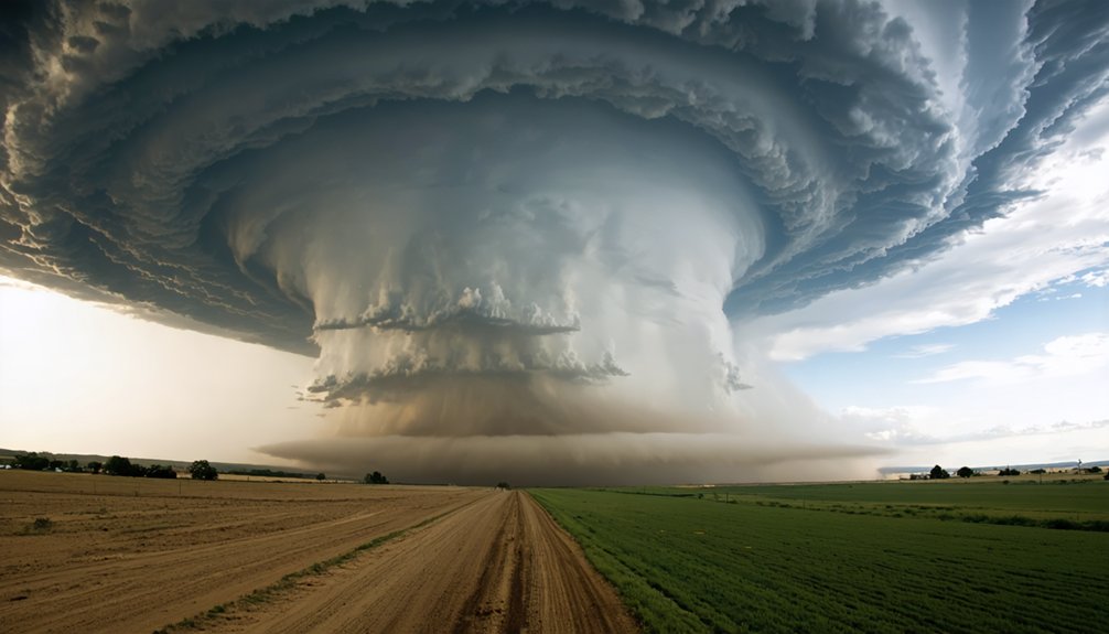
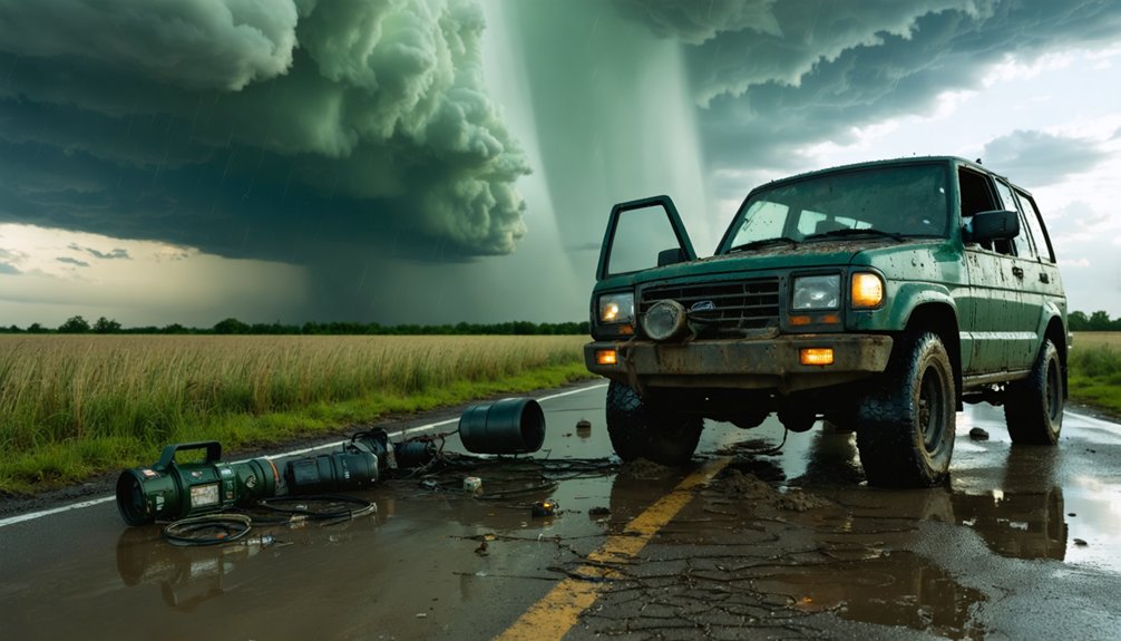
Storm chasing’s traditional playbook is breaking down fast. Severe storm frequency has climbed roughly 20% over the last decade, compressing your decision windows from 45 minutes to under 20. You’re now contending with faster storm acceleration, shifting tornado corridors, and unpredictable rapid intensification that outpaces conventional models. Adapting means integrating sub-90-second radar refresh cycles, autonomous drones, and AI-driven satellite data into every intercept. The full scope of what’s changing—and what you’ll need—goes much deeper.
Key Takeaways
- Severe storm frequency has risen ~20%, pushing forecasters to adopt AI-fed satellite platforms and sub-90-second radar refresh cycles.
- Dual-polarization radar now detects rain, hail, and debris signatures with greater precision, reducing uncertainty during rapidly evolving storms.
- Decision windows have compressed from 45 minutes to under 20, making real-time microclimate analysis and structured checkpoints operationally critical.
- Tornado corridors shifting eastward into unfamiliar, flood-prone terrain require pre-intercept route audits confirming at least two escape corridors.
- Autonomous drones deployed into storm cores capture high-resolution boundary-layer data previously inaccessible to ground-based instrumentation.
How Climate Change Is Rewriting Storm Chasing Rules?
As climate change accelerates, it’s fundamentally restructuring the operational environment that storm chasers have relied on for decades. Severe storm frequency has climbed roughly 20% over the last ten years, driven by elevated atmospheric moisture and intensified wind shear.
You’re now operating against compressed decision windows — some dropping below 20 minutes — while tornado corridors shift eastward toward the lower Mississippi Valley, disrupting deployment strategies built around traditional Tornado Alley.
Urban planning failures compound these challenges. Expanding sprawl reduces viable escape routes, and flood-prone terrain elevates vehicle accident risk.
Ecological impacts further complicate forecasting, as altered land surfaces influence boundary-layer conditions and storm trajectory predictability.
Baseline forecast reliability is declining, forcing you to integrate redundant data systems and adaptive protocols to maintain operational effectiveness within an increasingly volatile atmospheric landscape.
Why Storm Chasing Decision Windows Are Shrinking Fast?
Climate change is cutting your decision windows nearly in half, compressing what was once a 45-minute chase window to under 20 minutes in fast-evolving events.
You’re now contending with storms that accelerate, shift trajectory, and intensify faster than traditional forecasting models anticipate, forcing go/no-go calls with less validated data and tighter margins for error.
Every minute you delay a positioning decision raises your exposure to unpredictable storm motion and shrinking escape corridors.
Climate Compresses Chase Windows
Storm chasers once had roughly 45 minutes to assess a developing storm, position their vehicles, and commit to an intercept route—but climate-driven atmospheric changes have compressed that window to under 20 minutes in some events.
Rising ocean temperatures have accelerated atmospheric instability, shortening the historical climate baselines forecasters once relied on for predictable storm behavior. You’re now operating in conditions where rapid intensification outpaces traditional go/no-go decision frameworks.
Warmer ocean temperatures inject excess moisture into storm systems, triggering faster convective development and unpredictable trajectory shifts. Your margin for repositioning shrinks before you’ve fully assessed the threat.
Mandatory 15-minute checkpoints aren’t optional anymore—they’re operationally critical. Every delay in processing radar data or satellite feeds directly reduces your viable intercept and escape options.
Faster Storms Demand Decisions
When compressed decision windows become the operational baseline, your gear and protocols have to evolve at the same pace as the storms themselves. Climate change has cut viable chase windows from 45 minutes to under 20, forcing faster go/no-go calls backed by real data.
Four operational realities now define your field execution:
- Sub-90-second radar refresh cycles are mandatory for tracking rapid intensification accurately.
- Microclimate analysis flags localized atmospheric instability that standard models miss entirely.
- Urban heat signatures accelerate storm intensification unpredictably, compressing your reaction margin further.
- Mandatory 15-minute go/no-go checkpoints keep your positioning aligned with accelerating storm motion.
You can’t rely on yesterday’s timing assumptions. Faster storms demand faster systems, sharper data interpretation, and protocols built for speed without sacrificing safety margins.
Shrinking Time, Rising Risk
As atmospheric moisture levels climb and wind shear intensifies, your operational window is shrinking faster than most legacy protocols can accommodate. What once gave you 45 minutes to reposition now collapses to under 20 in rapidly evolving events. That’s not a minor adjustment—it’s a structural shift in how you must plan.
Urban sprawl compounds the problem. Expanding infrastructure limits your escape corridors, forcing route decisions under tighter timeframes with fewer fallback options. Every delayed checkpoint increases your exposure exponentially.
Building environmental resilience into your operational framework means embedding mandatory go/no-go assessments every 15 minutes, maintaining dual escape routes, and treating redundancy as non-negotiable. Faster storms demand faster systems.
If your decision architecture hasn’t been recalibrated for current storm behavior, you’re already operating behind the threat curve.
How Shifting Tornado Corridors Are Changing Where Chasers Deploy?
Tornado corridors are no longer where they used to be, and that shift is forcing chasers to completely rethink their deployment strategies. The traditional Tornado Alley is migrating eastward toward the lower Mississippi Valley and Southeast, where urban sprawl and flood-prone terrain create tighter operational margins.
Here’s what that shift means for your deployments:
- Escape routes shrink — denser infrastructure limits your corridor options markedly.
- Flood-prone lowlands replace open plains, increasing vehicle entrapment risk during heavy rainfall events.
- Unfamiliar road networks demand pre-intercept route audits identifying at least two verified escape corridors.
- Longer storm seasons extend your operational calendar, straining equipment maintenance cycles and team readiness.
You’re no longer chasing on predictable terrain — adaptability isn’t optional, it’s your primary operational asset.
Radar and Satellite Upgrades Transforming Storm Chasing

Storms are evolving faster than traditional radar cycles can track, and that gap is where lives and data are lost. Sub-90-second radar refresh cycles now give you actionable intelligence during rapid intensification events, cutting go/no-go decision windows from 45 minutes to under 20.
The gap between radar cycles and storm evolution is where lives are lost.
Dual-polarization radar separates rain, hail, and debris signatures with precision that older systems couldn’t deliver.
Remote sensing through advanced satellite platforms feeds continuous atmospheric data directly into AI-driven forecasting models, sharpening trajectory predictions before you deploy.
Data integration across radar, satellite, and real-time field observations creates a unified operational picture that single-source systems can’t match.
You’re no longer working from static snapshots. These upgrades compress uncertainty, extend your viable response window, and give field teams the situational awareness necessary to operate independently and safely.
AI Tools Changing Storm Prediction in Real Time
When radar and satellite feeds generate data faster than human analysts can process it, AI closes that gap in real time. Machine learning accelerates data analysis across radar, satellite, and historical storm records simultaneously, tightening your decision window without sacrificing accuracy. These prediction models don’t replace your judgment—they sharpen it.
Here’s what AI delivers operationally:
- Rapid pattern recognition across thousands of storm signatures in seconds
- Dynamic trajectory forecasting that updates as atmospheric conditions shift
- Intensity probability scoring derived from dual-polarization radar inputs
- Automated anomaly flagging when storm behavior deviates from modeled expectations
You’re no longer dependent on delayed briefings. AI hands you actionable intelligence while the storm is still developing, keeping your options open.
Mobile Radar, Drones, and Hardened Hardware Chasers Now Rely On
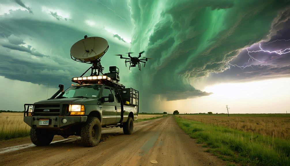
As storm windows compress below 20 minutes, your vehicle’s onboard radar system is no longer optional—it’s the operational backbone that extends your reach into variable terrain and nighttime intercepts where ground-level visibility fails. Redundant radar feeds and backup power aren’t convenience upgrades—they’re field necessities when bandwidth drops and satellite coverage fractures mid-intercept.
Deploy autonomous drones to access storm cores where crewed vehicles can’t safely operate. They extend your mobile sensors beyond road-network constraints, capturing boundary-layer data at resolution ground teams can’t match.
Equipment durability demands stricter attention now. Harsher conditions accelerate hardware wear, and hardened transmission systems must maintain signal integrity when conditions deteriorate fastest.
GPS tracking and mobile communication networks keep your team accountable across fragmented terrain, where a single communication failure compounds every other risk.
Safe Routing and Escape Planning When Margins Keep Shrinking
When you’re planning a chase intercept, urban sprawl and flood-prone terrain are actively cutting off your exit options, making pre-intercept route audits that identify at least two escape corridors a non-negotiable part of your operational plan.
All 16 storm-chasing fatalities recorded through May 2024 were driving-related, with poor visibility and unpredicted trajectory shifts identified as primary contributing factors.
To counter accelerating storm motion, you’ll need to run mandatory go/no-go checkpoints every 15 minutes, treating each interval as a hard decision gate rather than a casual status check.
Shrinking Escape Route Options
Urban sprawl and flood-prone terrain are steadily narrowing the escape corridors that chasers have historically relied on, and the margin for error keeps shrinking.
Urban development and expanding flood zones have eliminated routes that were viable even five years ago. You’re now operating in environments where a single wrong turn puts you in gridlock or standing water.
Audit every intercept area using these four criteria:
- Identify two confirmed escape routes before positioning, not after storm motion shifts
- Flag flood zones on your mapping overlay to eliminate low-lying roads preemptively
- Check urban development patterns that create bottlenecks during mass evacuation scenarios
- Set hard cutoffs—if one escape route becomes compromised, you immediately execute the secondary without deliberation
Your autonomy depends on preparation, not improvisation.
Mandatory Checkpoint Timing Protocols
Storm acceleration has cut the viable decision window from roughly 45 minutes to under 20 in fast-moving events, so static positioning logic no longer holds. You need mandatory go/no-go checkpoints every 15 minutes, triggered by updated radar feeds, not gut instinct.
Each checkpoint forces a structured reassessment: storm vector, escape corridor viability, and emergency communication status with your team.
Equipment maintenance directly affects checkpoint reliability. Degraded GPS units or failing radio hardware eliminate your margin when trajectories shift unexpectedly.
Build pre-intercept checks into your protocol so degraded systems get flagged before commitment, not during repositioning.
Treat each checkpoint as a binary decision gate. If two viable escape routes aren’t confirmed, you don’t advance.
Compression of decision windows demands compression of tolerance for incomplete situational data.
How Storm Chasers Are Preparing for a More Dangerous Future?
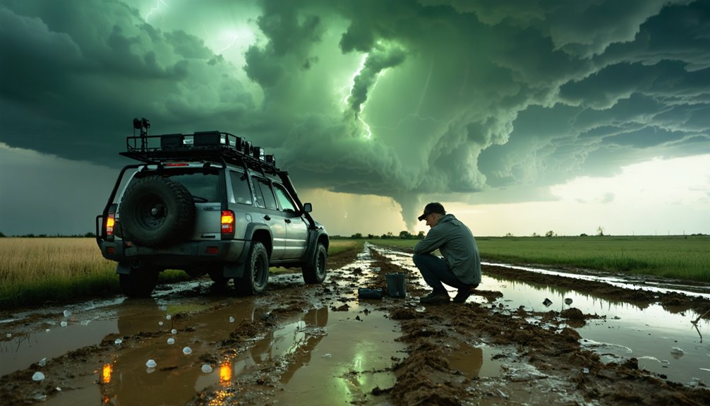
As storm-chasing conditions grow measurably more hazardous—decision windows compressed to under 20 minutes, fatality records tied entirely to driving errors, and tornado corridors drifting into unfamiliar terrain—chasers aren’t just upgrading gear; they’re rebuilding operational frameworks from the ground up.
Historical data and community engagement are driving smarter, faster adaptation across four critical preparation areas:
- Safety certification through Spotter Network and NWS SkyWarn to handle faster-developing storms
- Mental health assessments integrated alongside technical protocols as risk profiles rise
- Pre-intercept route audits confirming at least two verified escape corridors before deployment
- Redundant communication systems with hardened hardware to maintain real-time data transfer under degraded field conditions
You’re not just chasing storms—you’re operating inside a system engineered to keep you mobile, informed, and alive.
Frequently Asked Questions
What Mental Health Support Is Available for Storm Chasers Facing Increasing Risks?
You’ll find mental health assessments and emergency planning protocols increasingly prioritize psychological resilience as risk profiles rise. Leverage peer support networks alongside certified safety training to maintain operational effectiveness when you’re maneuvering faster-developing, higher-intensity storm environments.
How Do Biodegradable Probes Reduce Environmental Impact During Storm Chasing Research?
When you deploy biodegradable materials in field probes, you’re actively cutting environmental degradation by ensuring instruments break down naturally after use, letting you collect critical storm data without leaving persistent debris across sensitive ecosystems you’re studying.
Which Organizations Offer Certified Safety Training for Modern Storm Chasers Today?
Coincidentally, you’ll find storm safety and risk management certification exactly where you need it: Spotter Network and NWS SkyWarn both offer structured training that’s keeping you analytically prepared for today’s faster-developing, increasingly unpredictable storm environments.
How Does Storm Chasing Data Help Vulnerable Communities Improve Early Warning Systems?
You’re directly improving early warning systems by feeding field measurements into predictive modeling and historical data pipelines, refining boundary-layer analysis, validating radar signatures, and sharpening climate adaptation tools that empower vulnerable communities to independently anticipate and survive severe storms.
How Does Urban Sprawl Specifically Increase Vehicle Accident Risk for Storm Chasers?
Urban sprawl creates urban congestion and traffic hazards that shrink your escape routes, forcing you into high-density zones where reduced visibility and altered storm trajectories dramatically elevate vehicle accident risk during active chase operations.
References
- https://crazystormchasers.com/navigating-climate-change-storm-chasers-future-challenges/
- https://crazystormchasers.com/preparing-for-climate-change-storm-chasers-mission-consequences/
- https://crazystormchasers.com/investigating-climate-change-effects-on-storm-behavior/
- https://crazystormchasers.com/climate-change-and-the-future-challenges-for-storm-chasers/
- https://crazystormchasers.com/exploring-storm-chasing-and-climate-change-impacts/
- https://en.wikipedia.org/wiki/Storm_chasing
- https://crazystormchasers.com/maximizing-storm-chasing-impact-on-climate-change-awareness/
- https://podcasts.apple.com/us/podcast/environment-nature-storm-chasers/id1847159875
- https://wickedwxlive.com/chasing-the-future-how-advancing-weather-technology-is-changing-storm-tracking/
- https://www.pbs.org/newshour/science/inside-the-dangerous-and-unpredictable-science-of-storm-chasing