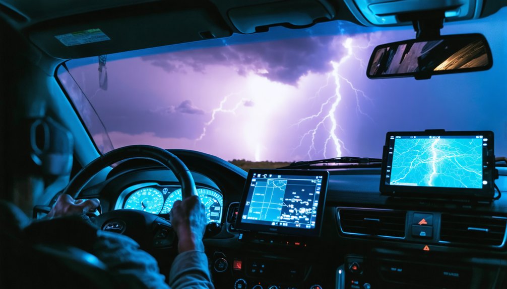
Start your assessment only after securing the site from electrical hazards, structural instabilities, and debris fields per OSHA standards. Deploy high-resolution cameras with 14-24mm wide-angle lenses within 4-10 days post-event, when evidence remains uncontaminated. You’ll need UAS surveys at 91m altitude capturing 75% image overlap for thorough georeferenced documentation. Engage licensed adjusters and meteorologists who’ll identify hidden damage using thermal imaging and moisture meters—they’ve increased settlements by 40% through forensic correlation of physical evidence with policy parameters. Advanced technologies reveal what standard assessments miss.
Key Takeaways
- Assess site safety first: identify hazards like downed power lines, structural instabilities, and gas leaks before documentation begins.
- Use high-resolution cameras with wide-angle and telephoto lenses to capture comprehensive damage from multiple distances and perspectives.
- Deploy drone technology at 91-meter altitude with 75% image overlap for complete aerial coverage and precise damage mapping.
- Engage licensed public adjusters and meteorologists to document hidden damage and strengthen insurance claims with expert analysis.
- Employ thermal cameras and moisture meters to detect concealed structural damage, insulation displacement, and water infiltration invisible to eyes.
Prioritize Safety Before Beginning Your Assessment
Before commencing post-tornado assessment activities, you must systematically evaluate all immediate hazards present at the site. Maintain situational awareness by monitoring for debris, compromised power lines, structural instabilities, gas leaks, and thermal stress conditions.
Avoid damaged structures until qualified engineers complete inspections—unauthorized entry risks catastrophic collapse. Stay clear of electrical hazards: downed lines and water-adjacent wiring remain energized. Don’t ignite matches or lighters near potential natural gas releases from ruptured infrastructure.
Navigate carefully around broken glass, exposed nails, and sharp debris that compromise mobility. Secure temporary shelter in designated safe zones per 29 CFR 1910.38 requirements—basements or interior hallways away from external walls. Deploy construction tape to isolate unsafe perimeters.
Only HAZWOPER-certified personnel should address utility failures, hazardous material releases, or technical rescue operations requiring specialized protocols.
Document Every Detail With Comprehensive Photography
When structural failures and debris patterns require precise documentation for insurance claims, engineering assessments, and damage reconstruction, deploy high-resolution imaging systems that capture forensic-quality evidence across multiple scales. You’ll need DSLR or mirrorless cameras with fast shutter speeds to freeze rapid scene changes before debris shifts or structural alterations progress.
Wide-angle lenses (14-24mm) document expansive damage paths while telephoto options (70-200mm) provide detailed views from safe standpoints. Position foreground objects—vehicles, buildings—within your frame using rule of thirds composition to convey destruction scale.
Capture UAS surveys at 91m altitude with 75% overlap, generating thousands of images for Structure from Motion processing. Post-event timing matters: acquire imagery 4-10 days post-tornado when vegetation changes remain visible yet debris fields stabilize for accurate georeferencing and damage classification.
Leverage Aerial Technology for Complete Coverage
How can you rapidly assess tornado devastation across thousands of acres when ground access remains blocked by debris fields and structural hazards? You’ll need aerial technology that delivers actionable intelligence within hours, not days. Modern unmanned aerial systems capture 2.5 cm resolution imagery, detecting seven damage categories with 71.9% precision. Deep learning algorithms trained on 25,000 building damage instances classify destruction severity—from moderate damage to complete structural failure—enabling you to expand data sources beyond traditional ground surveys.
Deploy these proven aerial platforms:
- Manned aircraft systems producing georeferenced orthoimagery covering 4,500 acres in single missions
- AI-powered damage mapping generating recovery forecasts under one hour post-flight
- Multi-spectral sensors validating radar signatures and mapping wind intensity gradients
- GIS-integrated outputs that enhance spatial analytics for infrastructure dependencies
You’ll obtain macro-scale damage extent while maintaining centimeter-level precision for insurance documentation.
Engage Professional Adjusters and Meteorologists
While aerial systems quantify macro-scale destruction patterns, you’ll require ground-level professional verification to establish causation linkages and validate monetary recovery claims. Licensed public adjusters conduct thorough inspections beyond insurance company assessments, documenting overlooked structural failures—roof compromises, wall displacement, foundation fractures.
Texas data demonstrates 40% settlement increases when independent adjusters identify unreported damage paths and business interruption losses.
Meteorological experts provide critical causation analysis, distinguishing tornado-specific wind patterns from other storm mechanisms. They’ll trace damage trajectories from exterior impact points through interior manifestations, generating annotated reports with measurements and structural diagrams.
These professionals negotiate fair settlements by correlating physical evidence with policy coverage parameters. You’re empowered to challenge initial assessments when experts document water intrusion, hidden structural compromise, or miscalculated repair costs—ensuring complete financial recovery without carrier-imposed limitations.
Utilize Advanced Testing Equipment for Hidden Damage
Though tornado destruction manifests visibly through shattered windows and displaced roofing materials, subsurface structural compromise often escapes initial documentation—requiring deployment of specialized detection equipment to prevent incomplete insurance settlements.
Moisture detection scanning and thermal imaging analysis reveal hidden damage patterns:
- Thermal cameras detect temperature variations indicating displaced insulation or moisture infiltration within wall cavities
- Moisture meters quantify water content saturation levels in building materials, determining required drying protocols
- Multispectral imaging systems identify compromised structural elements invisible to standard photography
- Electroluminescence testing equipment assesses solar panel microfractures and electrical failures caused by storm impact
Deploy these technologies immediately post-event to establish thorough damage documentation. Field-deployable equipment provides real-time analysis without laboratory delays, strengthening your insurance claim accuracy and settlement position.
Frequently Asked Questions
How Can I Distinguish Between Tornado Damage and Straight-Line Wind Damage?
Ironically, chaos reveals order. You’ll assess tree damage patterns for counterclockwise rotation versus uniform directional fall, then analyze roof damage characteristics examining debris fields—circular outward dispersal indicates tornadic circulation, while parallel linear deposition confirms straight-line wind events.
What Is the EF Scale and How Do Meteorologists Calculate It?
The EF Scale rates tornadoes EF0-EF5 by estimating tornado intensity through observed structural damage. You’ll find meteorologists calculating wind speeds using 28 Damage Indicators and 8 Degrees of Damage, determining peak gusts from 65 to over 200 mph.
Should I Hire a Public Adjuster Before or After Filing Insurance Claims?
Like tornado chasers positioning before the storm hits, you’ll maximize insurance coverage by hiring a public adjuster early—before filing. Data shows 747% higher payouts when experts document damage first, ensuring you’re not shortchanged by insurance companies.
How Long Does a Typical Professional Tornado Damage Assessment Take?
A detailed damage assessment timeline varies by scope: residential inspections require 1-3 hours, while meteorological surveys span days to weeks. Your field inspection duration depends on property size, damage severity, and documentation requirements for accurate EF-scale rating determination.
What Credentials Should I Verify Before Hiring a Damage Assessment Expert?
Like a compass guiding through chaos, you’ll need verified IICRC or NSSA certifications, engineering credentials, and detailed experience reports showing fieldwork across multiple storm seasons. Confirm they’ve got proper professional qualifications and documented post-event analysis expertise.