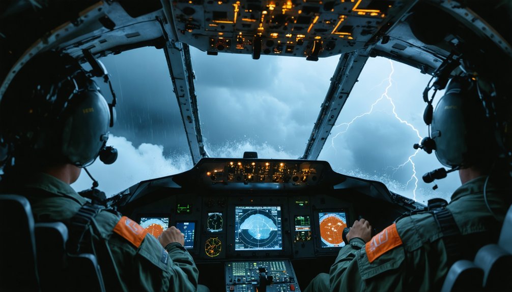
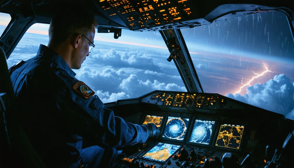
Hurricane hunters fly directly into storms using structured penetration patterns, like the alpha pattern, crossing through the eyewall along multiple axes. You’ll typically find them operating at around 10,000 feet, where atmospheric data is most critical for landfall prediction. Pilots make constant power adjustments to counter violent turbulence, vertical drafts, and wind shear during each eyewall crossing. The methods, equipment, and real-time data systems behind these missions reveal exactly how this process works from start to finish.
Key Takeaways
- Hurricane Hunters typically fly at approximately 10,000 feet, balancing safety limits with the need to collect critical lower-storm atmospheric data.
- Aircraft use structured penetration patterns, like the alpha pattern, crossing through the eyewall and eye repeatedly along different axes.
- Pilots make constant, precise power adjustments to combat violent turbulence, vertical drafts, and wind shear during eyewall penetration.
- GPS dropwindsondes are deployed through fuselage chutes, measuring pressure, wind, temperature, and humidity throughout the storm’s vertical profile.
- Tail Doppler radar and onboard sensors continuously transmit real-time storm data directly to forecasting centers during each mission.
What Do Hurricane Hunter Aircraft Actually Do?
Hurricane hunter aircraft don’t just fly near storms—they fly directly into them to collect real-time atmospheric data that ground-based radar and satellites can’t provide alone. You’re looking at missions designed to measure wind speed, pressure, temperature, and humidity from inside the system itself. That data directly supports storm tracking, giving forecasters precise center locations and intensity trends they can’t derive remotely.
Crews fly repeated penetrations throughout a storm’s lifecycle, transmitting measurements to the National Hurricane Center during flight. This continuous feed lets forecasters update advisories as conditions shift.
Beyond operational support, these missions advance understanding of hurricane formation—specifically how storms develop, organize, and intensify. Every pass through the eyewall generates actionable intelligence that protects lives and improves the accuracy of warnings you depend on during hurricane season.
The Planes Built to Fly Into Hurricanes
When you look at the fleet that actually penetrates tropical cyclones, two aircraft dominate operations: NOAA’s Lockheed WP-3D Orions, nicknamed Kermit and Miss Piggy, and the U.S. Air Force Reserve’s WC-130s.
These aren’t standard platforms—they’re purpose-modified for rough-weather penetration, carrying GPS dropwindsondes, onboard atmospheric sensors, and real-time data transmission systems that continuously record wind speed, pressure, temperature, and humidity.
You can think of each aircraft as a flying laboratory, built to extract precise measurements from one of Earth’s most hostile environments.
Aircraft Used for Missions
What kind of aircraft can withstand the violent turbulence, extreme winds, and blinding rain inside a hurricane’s eyewall? Not many. But these do:
- NOAA’s WP-3D Orions — nicknamed Kermit and Miss Piggy, these workhorses carry advanced weather radar and sensors directly through the storm’s core, collecting real-time atmospheric data.
- U.S. Air Force Reserve WC-130s — built from historical aircraft originally designed for military operations, these planes penetrate hurricanes repeatedly across an entire storm season.
- NOAA’s Gulfstream jet — this high-altitude aircraft flies above and around the cyclone rather than through it, capturing a broader structural picture.
Each platform gives you independent, verifiable data that no satellite alone can provide. You get freedom from forecast uncertainty because crews fly directly into the unknown.
Specialized Equipment Onboard
Every instrument aboard a NOAA WP-3D Orion serves a precise function — and together, they transform a modified turboprop into a flying laboratory.
You’ll find GPS dropwindsondes deployed through a chute in the fuselage, each one measuring pressure, wind, temperature, and humidity as it falls through the storm column.
Tail Doppler radar handles storm tracking by mapping internal wind fields in real time.
Forward and downward-facing cameras support aerial photography, documenting structural features forecasters can analyze later.
Sensors mounted along the airframe continuously record atmospheric data while the aircraft penetrates the eyewall.
Everything transmits live to the National Hurricane Center.
No redundant systems exist by accident — each one backs up another.
You’re not looking at a converted plane. You’re looking at an airborne measurement platform built for precision under violent conditions.
Why Hurricane Hunters Fly at 10,000 Feet
When you think about why hurricane hunters fly at roughly 10,000 feet, it comes down to targeting the lower storm layers that directly affect what happens at landfall.
You’ll find that 700 mb flight level, approximately 3,000 meters, serves as the standard mission altitude because it places the aircraft inside the most meteorologically critical portion of the storm.
This altitude reflects a calculated balance, keeping the crew within the data-rich eyewall environment while staying within the structural and operational limits of the aircraft.
Targeting Low Storm Layers
Although major hurricanes can tower past 50,000 feet, hurricane hunter aircraft deliberately target the lower storm layers, typically flying at around 10,000 feet or the 700 mb pressure level near 9,800 feet. This altitude captures the data that directly shapes landfall impacts you’ll face on the ground.
Flying low lets crews measure:
- Wind shear — directional and speed changes across storm layers that influence intensification and structural behavior.
- Storm surge potential — surface-level wind readings that forecasters use to model coastal inundation threats.
- Pressure and moisture — critical variables driving storm intensity and rainfall distribution.
These lower layers govern what actually strikes land. Flying at cruise altitude above the storm would leave forecasters blind to the precise conditions determining real-world destructive potential.
Standard Mission Altitude Explained
The 10,000-foot mark isn’t arbitrary — it corresponds closely to the 700 mb pressure level, a standard meteorological reference layer that sits roughly 9,800 feet above sea level.
At this altitude, you’re sampling the lower troposphere, where cloud formation, boundary layer dynamics, and wind structure directly influence storm intensity and landfall impacts.
Flying at 700 mb gives forecasters consistent, comparable data across multiple missions and multiple storms. You’re not skimming dangerously low, and you’re not flying above the most critical atmospheric layer.
It’s a calculated middle ground — low enough to capture meaningful measurements, high enough to maintain aircraft control margins.
This standardized flight level also allows dropsonde data to fill in what the aircraft sensors can’t reach, building a complete vertical profile of the storm’s structure below.
Balancing Safety and Science
Choosing 10,000 feet isn’t just about data quality — it’s where scientific objectives and structural safety margins actually align. Flying too low amplifies structural stress; flying too high misses the meteorological phenomena driving landfall impacts. At this altitude, you’re threading a precise corridor.
Three factors govern that decision:
- Airframe limits — Aircraft maintenance schedules are built around stress cycles; repeated eyewall penetrations at lower altitudes accelerate fatigue on critical components.
- Sensor accuracy — Instruments capture the most actionable atmospheric data within the boundary layer closest to the surface.
- Crew control — At 10,000 feet, pilots retain enough airspeed authority to manage violent updrafts and downdrafts without losing structural integrity.
You don’t compromise either variable. The altitude isn’t arbitrary — it’s engineered.
How Hurricane Hunters Actually Fly Through a Storm
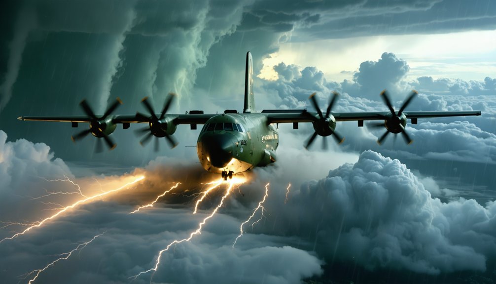
Flying through a hurricane isn’t random—crews follow a structured penetration pattern called the alpha pattern, which cuts through the storm in an overlapping X-shaped track. You enter from one side, push through the eyewall, cross the eye, exit the opposite side, reposition, and repeat along a different axis. Each leg delivers fresh data across the storm’s most critical layers.
Historical missions refined this approach, proving repeated penetrations yield more accurate storm fixes than single passes.
Aircraft maintenance between sorties guarantees instruments and airframes perform under violent turbulence, heavy rain, and extreme pressure gradients.
Crews typically fly at 700 mb, roughly 10,000 feet, where conditions most directly influence landfall impacts.
Multiple penetrations per mission give forecasters a continuously updated picture of intensity and structure.
Surviving the Eyewall: What Pilots Face Inside a Hurricane
Crossing into the eyewall means entering the most structurally violent region of the storm. You’re facing conditions that test both aircraft stability and crew discipline simultaneously.
Inside the eyewall, storm turbulence delivers three distinct threats:
- Violent vertical drafts — updrafts and downdrafts shift altitude rapidly, forcing constant power adjustments to maintain controlled flight.
- Extreme wind shear — directional wind changes across short distances destabilize the airframe, demanding immediate pilot correction.
- Torrential precipitation — dense rain reduces visibility and increases aerodynamic load on the aircraft structure.
Pilots keep wings level and maintain precise airspeed to preserve control through each penetration. Once you breach the eyewall, the eye offers brief calm before you re-enter turbulence on the opposite side.
Every second demands active, deliberate input.
The Gear That Gathers Data While Flying Through a Hurricane
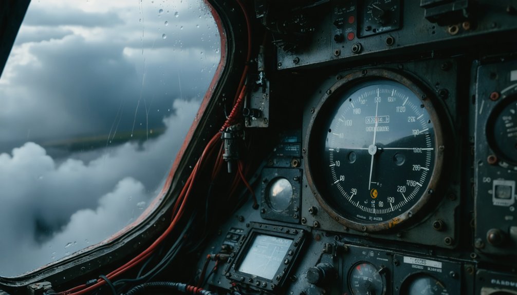
While the pilots manage the aircraft through the eyewall, onboard instruments are continuously recording wind speed, direction, pressure, temperature, and moisture at flight level. That real-time aerial reconnaissance data streams directly to forecasting centers, giving analysts an immediate picture of storm structure and intensity.
You’d also see crews deploying GPS dropwindsondes—small probes released from the aircraft that fall through the storm column, transmitting pressure, wind, temperature, and humidity readings on the way down. Those vertical profiles fill critical data gaps that no satellite can provide.
Every measurement feeds storm tracking models, sharpening the National Hurricane Center’s advisories and improving landfall predictions. The combination of flight-level sensors and dropwindsonde profiles gives forecasters a precise, three-dimensional view of the hurricane’s inner workings.
How Hurricane Hunter Data Improves Forecasts in Real Time
Every measurement collected during a hurricane hunter mission feeds directly into forecast models within minutes of acquisition. You’re looking at real-time meteorological phenomena data that sharpens the National Hurricane Center’s storm advisories before conditions deteriorate further.
Every measurement from hurricane hunter missions feeds forecast models within minutes, sharpening storm advisories before conditions deteriorate.
Three critical data streams reach forecasters during active missions:
- Dropsonde pressure and wind profiles — pinpoint the storm’s center location and intensity with precision unavailable from satellites alone.
- Continuous aircraft sensor readings — deliver flight-level wind speeds and temperatures that ground-based systems can’t capture.
- Transmitted storm fixes — update track and intensity forecasts, giving communities accurate landfall windows.
Rigorous aircraft maintenance keeps these platforms mission-ready, ensuring data flows uninterrupted. Without that operational reliability, gaps appear in the forecast record, and you lose the warning lead time that protects lives and property.
Frequently Asked Questions
How Long Does a Typical Hurricane Hunter Mission Last From Start to Finish?
With 53 penetrations logged in 2025, you’ll find missions typically last 8–10 hours. Advanced aircraft technology keeps you collecting storm tracking data continuously, letting you operate freely while sampling the hurricane’s full structural evolution.
How Many Crew Members Fly Aboard a Hurricane Hunter Aircraft?
You’d typically find around 15–20 crew members aboard, each relying on rigorous crew training and advanced aircraft technology to independently operate instruments, pilot through eyewalls, collect atmospheric data, and transmit critical storm intelligence with precision.
Have Any Hurricane Hunter Aircraft Ever Crashed or Been Lost in a Storm?
Can you imagine the stakes? Yes, several aircraft have been lost historically. Today, you’d find that aircraft safety and storm navigation protocols have evolved dramatically, minimizing risk through precise planning, structural limits, and methodical mission design.
How Often Do Hurricane Hunters Fly Into the Same Storm Repeatedly?
You’ll find hurricane hunters flying repeated missions into the same storm throughout its life cycle, conducting multiple penetrations per flight for storm tracking while crews carefully balance scientific objectives against aircraft safety and structural limits.
Do Hurricane Hunter Crews Ever Feel Scared During Their Missions?
You’d feel tension, but rigorous crew training and constant risk assessment replace fear with focus. You’re executing precise procedures, trusting instruments, maintaining airspeed, and managing each eyewall penetration methodically—your preparation keeps you in control.
References
- https://courses.ems.psu.edu/learningweather/book/export/html/17
- https://www.omao.noaa.gov/aircraft-operations/noaa-hurricane-hunters
- https://www.facebook.com/NOAAHurricaneHunters/videos/how-do-we-fly-directly-into-hurricanes-our-flight-director-and-in-flight-meteo/737171628934685/
- https://www.pbs.org/video/flight-hurricane-hunters-hs2kmz/
- https://oceantoday.noaa.gov/hurricanehunters/
- https://www.youtube.com/watch?v=ItQZcTskB9g
- https://en.wikipedia.org/wiki/Hurricane_hunters
- https://www.weather.gov/wrn/hurricane_hunter
- https://hurricanescience.org/science/observation/aircraftrecon/hurricanehunters/
- https://www.youtube.com/watch?v=SvSbAGgcu08