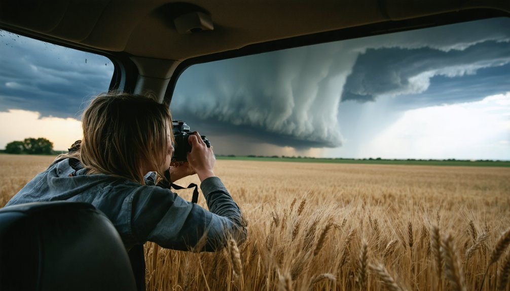
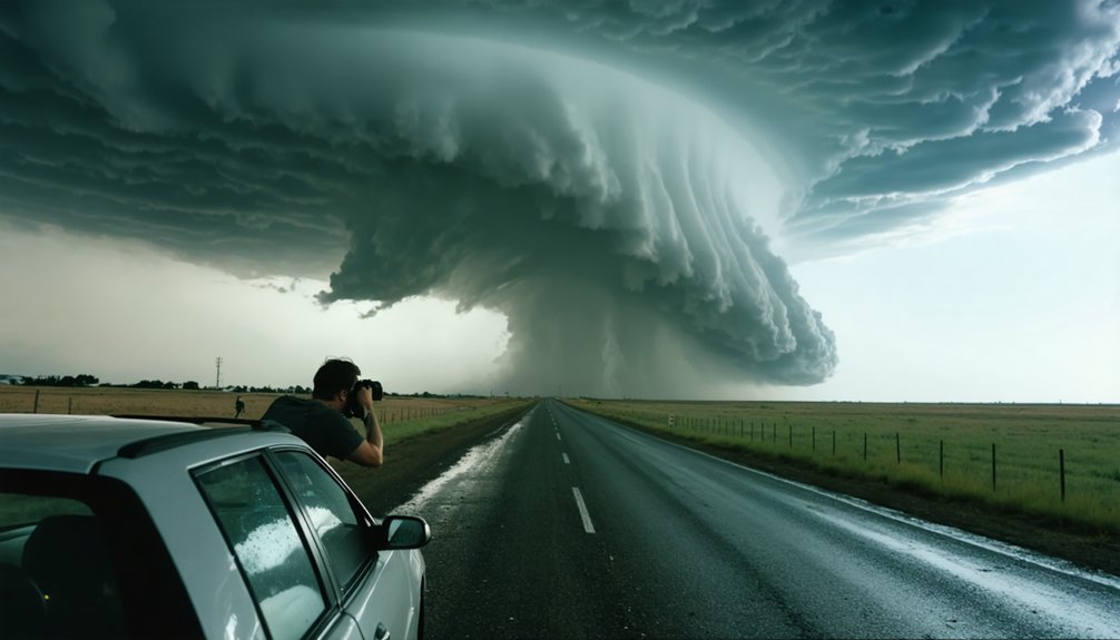
When storm chasing, you’re rarely working with textbook-perfect conditions. Tornado warning signs don’t always appear in sequence—rotating wall clouds, tightening velocity couplets, hook echoes, and debris clouds often develop simultaneously, giving you seconds to process and react. You’ll feel pressure drops, hear intensifying roars, and spot power line flashes before you see a funnel. Radar fills the gaps your eyes can’t. Each section ahead breaks down exactly what to watch for before conditions turn critical.
Key Takeaways
- Rotating wall clouds dropping below rain-free cloud bases are primary visual indicators of potential tornado formation requiring immediate attention.
- Radar signatures like hook echoes, velocity couplets, and BWERs confirm strong rotation and significantly elevated tornado risk.
- Whirling debris or dust beneath lowering clouds signals active ground-level circulation, even without a visible funnel.
- At night, repeating blue-green-white power line flashes below treetops indicate violent winds and active tornado circulation.
- Classic tornado indicators often appear out of sequence or not at all, making real-time detection inherently uncertain.
Why Tornado Warning Signs Are Hard to Read in Real Time
Even experienced storm chasers misread tornado warning signs in real time because conditions rarely present cleanly or in sequence. You’re often working against incomplete data, poor visibility, and rapidly shifting storm structure simultaneously.
Meteorological modeling gives you probabilistic guidance, not certainty, so you’re always interpreting, not confirming.
Historical tornado patterns show that classic indicators—rotating wall clouds, freight-train roar, greenish skies—frequently appear out of order, partially, or not at all.
HP supercells actively conceal mesocyclone structure behind heavy precipitation, stripping away your visual reference points entirely.
Debris clouds may be your only ground-level confirmation, but by then, proximity risk is already critical.
You must synthesize radar, atmospheric sound changes, and storm structure simultaneously, under pressure, with no margin for misread.
Tornado Warning Signs You Can See in the Sky
When scanning the sky during active chase conditions, you’re looking for structural anomalies that indicate mesocyclone development. A rotating wall cloud dropping below the rain-free cloud base signals organized updraft rotation — that’s your primary visual cue.
Watch for tightening cloud rotation, which indicates intensification and possible tornadic development.
Storm lightning illuminating a persistent, lowering cloud base gives you structural data even in reduced visibility. A rotating funnel extending downward confirms mesocyclone tightening.
Any greenish sky coloration combined with large hail shifts the probability calculus considerably.
Don’t wait for a complete funnel. A debris cloud at ground level confirms tornado contact even without visible condensation reaching the surface.
These visual indicators, cross-referenced with radar data, let you make informed, real-time positioning decisions independently.
Ground-Level Clues That Signal a Tornado Is Near
When you’re tracking a supercell, don’t fixate solely on the cloud base—watch the ground for whirling dust or debris rotating beneath a lowering, even when no visible funnel has formed.
A debris cloud at the surface confirms active tornado circulation and often appears before the funnel extends into view.
If you spot fast-moving material swirling near the ground under a suspicious cloud base, treat it as a confirmed tornado and respond accordingly.
Debris Clouds Without Funnels
A tornado doesn’t always announce itself with a visible funnel—sometimes the only reliable indicator is a swirling mass of debris at ground level. Debris clouds and dust whirl formations confirm active circulation even when precipitation or darkness blocks your view. Trust what’s happening beneath the cloud base, not just above it.
Watch for these ground-level indicators:
- Whirling dirt or debris rotating under a lowered cloud base
- Fast-moving debris clouds advancing across open terrain
- Swirling material appearing suddenly in heavy rain or low visibility
- Falling debris dropping from the sky without an obvious source
- Cluster of dust tightening and accelerating near the surface
If you spot any of these, stop chasing immediately and move to shelter. Visible calm above means nothing when the ground tells a different story.
Whirling Dust Beneath Clouds
Sometimes the most reliable tornado indicator isn’t in the sky—it’s at your feet. A dust whirl beneath a cloud base confirms ground-level circulation, even when no funnel is visible. You’re looking for swirling material—dirt, leaves, loose debris—rotating in a tight, persistent pattern directly under a lowering cloud base.
This ground signature frequently precedes visible funnel development. When you spot a dust whirl, immediately assess the cloud rotation overhead. If the base is tightening and spinning, you’ve got a developing tornadic circulation. Don’t wait for a classic funnel to confirm the threat.
Trust your ground-level observations as much as your sky reads. That whirling dust represents real, organized rotation—it’s your cue to reposition or exit immediately, not to move closer.
What You Hear and Feel Before a Tornado Touches Down
Before a tornado touches down, your senses often register changes that instruments can’t always capture in time. Atmospheric pressure fluctuations and sudden wind gusts signal the storm’s intensifying rotation before a funnel becomes visible. Stay alert to these physical cues:
- A brief, eerie calm replaces thunderstorm winds as the inflow cuts off
- Sudden wind gusts shift direction sharply, confirming nearby rotation
- Atmospheric pressure fluctuations cause ear-popping sensations similar to altitude changes
- A continuous, deepening roar builds louder than thunder and doesn’t fade quickly
- The air feels electric, heavy, and unstable against your skin
These sensory triggers aren’t coincidental. They’re measurable precursors tied to mesocyclone dynamics. If you’re experiencing two or more simultaneously, stop chasing and immediately move to shelter.
Storm Structure Details That Reveal Tornado Risk
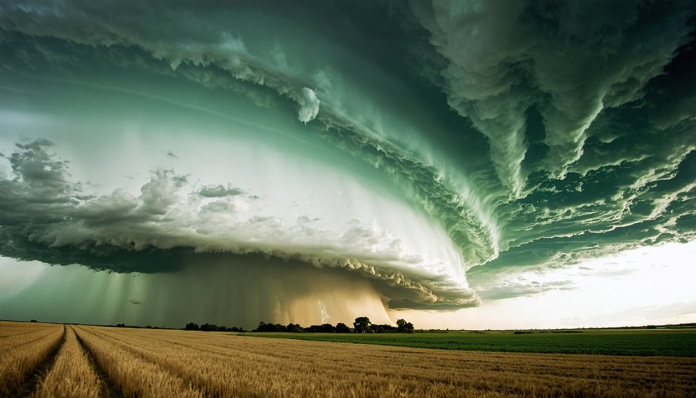
Knowing which structural features signal tornado risk separates effective storm chasing from guesswork. You’ll want to focus on the wall cloud first — if it’s rotating, you’re watching active storm dynamics that frequently precede tornado formation. Track cloud rotation in the base carefully; persistent, tightening rotation signals mesocyclone intensification.
A lowering cloud base, especially one that’s continuously descending, confirms dangerous vertical development. HP supercells complicate your read because the mesocyclone stays embedded in precipitation, cutting your visual access entirely.
Watch for rapid changes in cloud movement — when rotation speeds up suddenly, conditions are escalating fast. Tornadoes often develop near the trailing storm edge or directly beneath a wall cloud.
Prioritize structural awareness over funnel-cloud sightings alone; structure tells you what radar confirms.
When Radar Tells You What Your Eyes Can’t During a Chase
Visual structure gives you a powerful read on storm behavior, but there’s a hard limit to what your eyes can confirm when precipitation swallows the mesocyclone. Radar interpretation becomes your primary tool when HP supercells bury rotation in rain.
Storm spotter terminology distinguishes what’s visible from what’s radar-confirmed—you need both layers working together.
Watch these radar signatures before repositioning:
- Velocity couplet — tight inbound and outbound colors indicating strong rotation
- Hook echo — classic wrapped precipitation pattern signaling mesocyclone presence
- BWER (Bounded Weak Echo Region) — violent updraft signature rising through reflectivity
- High reflectivity cores — large hail embedded near the updraft base
- Rapidly tightening rotation — decreasing couplet diameter signals intensifying circulation
When those signatures appear, trust radar over calm skies. Visible calm doesn’t equal structural calm.
Visual and Radar Cues That Mean Abandon the Chase Now
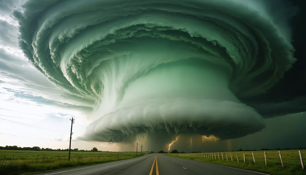
There’s a threshold where chasing shifts from calculated risk to unacceptable exposure, and specific visual and radar signatures mark that line. When you’re seeing a debris cloud at ground level without a visible funnel, you’re already inside dangerous proximity.
Radar showing a tight, high-correlation coefficient drop paired with a strong rotational couplet confirms tornadic circulation regardless of what you can visually confirm.
Abandon immediately if your escape route intersects the storm’s projected track. HP supercell structure reduces your visual margin to near zero, eliminating your ability to react.
Storm preparedness means knowing these thresholds before you deploy, not during. The environmental impact of a violent tornado on infrastructure and terrain removes road options fast.
When rotation tightens and debris rises, your decision window has already closed.
Tornado Warning Signs That Are Easy to Miss at Night
At night, you’ll lose most of the visual structure that defines a daytime chase, so you need to shift your attention to secondary indicators.
Watch for rapid blue-green-white flashes near the ground, which signal power lines snapping under violent rotational winds and can confirm a tornado’s position even in total darkness.
You can also track debris clouds by watching for unusual movement at ground level illuminated by lightning, since a swirling debris field often reveals circulation when no funnel is visible.
Nighttime Power Line Flashes
When tornadoes strike after dark, blue-green-white flashes near the ground often signal power lines snapping under violent rotational winds. Unlike lightning, these power line flashes pulse low and repeatedly, marking active tornado circulation. You’re not watching a storm light show — you’re watching infrastructure fail in real time.
Watch for these blue green lightning indicators:
- Rapid, strobing flashes staying consistently below treetop level
- Colors shifting between electric blue, green, and sharp white
- Multiple flash points spreading laterally, suggesting debris-field movement
- Flashes appearing without accompanying thunder or cloud-to-ground lightning
- Clusters of light erupting suddenly, then relocating within seconds
These power line flashes confirm tornado ground contact. When you spot them, stop repositioning and immediately move perpendicular to the storm’s tracked path.
Hidden Debris Cloud Clues
Power line flashes confirm ground contact, but they’re not the only low-visibility indicator worth tracking. Debris cloud formation can reveal active tornado circulation even when no funnel is visible.
At night, you’ll often miss the funnel entirely, but a swirling mass of material near the surface betrays the rotation underneath.
Watch for dust whirl patterns that tighten and accelerate horizontally beneath a lowering cloud base. These aren’t random gusts—they signal organized mesocyclonic circulation pulling surface material inward.
In heavy precipitation or darkness, debris clouds become your primary structural cue.
Train your spotlight or forward-facing light low and scan laterally. If debris moves faster than ambient wind and spirals, treat it as confirmed ground contact.
Don’t wait for funnel confirmation—reposition immediately.
Frequently Asked Questions
How Do Storm Chasers Communicate Tornado Sightings to Local Emergency Services?
You’ll report tornado sightings via SKYWARN networks, radio, or direct calls to NWS. Communication protocols guarantee emergency coordination stays efficient—you’re transmitting location, movement, and intensity data precisely, helping dispatchers deploy warnings fast.
What Legal Permits or Licenses Are Required for Professional Storm Chasing Activities?
Surprise—you don’t need a bureaucratic permission slip to chase storms! Legal requirements and licensing procedures don’t govern storm chasing. You’re free to chase, though local traffic and trespassing laws still apply.
How Does Tornado Frequency Differ Between Seasons and Geographic Regions?
You’ll find tornado frequency peaks in spring across the Great Plains—”Tornado Alley”—driven by climate patterns where warm Gulf air collides with cold fronts. Regional variations show the Southeast’s higher winter activity, while summer shifts risk northward.
What Vehicle Modifications Do Experienced Storm Chasers Make for Safety?
You’ll want to *enhance your mobile sanctuary* with vehicle armor to deflect debris impacts. Pack emergency kits containing medical supplies, communication gear, and navigation tools. These precision modifications keep you independently mobile and operationally ready during high-risk pursuit scenarios.
How Accurate Are Tornado Warning Systems Compared to Actual Tornado Occurrences?
Tornado prediction’s warning accuracy isn’t perfect—you’ll find systems detect roughly 70-75% of actual tornadoes, with false alarm rates near 70-75%. You’re responsible for staying alert beyond just sirens; trust radar and visual cues.
References
- https://www.ajg.com/disaster-preparedness/tornado-preparedness/
- https://www.steadfaststormshelters.com/blog/signs-of-a-tornado
- https://police.mercer.edu/safety-resources/severe-weather-procedures/tornado-safety-measures/
- https://www.belfor.com/us/en/resources/signs-of-a-tornado/
- https://www.servpro.com/resources/storm-damage/signs-of-a-tornado-and-ways-to-prepare
- https://rainbowrestores.com/blog/dont-ignore-these-tornado-warning-signs-they-could-save-your-life
- https://certifiedwaterandfire.com/signs-of-a-tornado-your-guide-to-spotting-the-swirl/
- https://emsaok.gov/resource-library/summer-safety-tips/warning-signs-that-a-tornado-may-develop/
- https://www.tornadosimulator.net/storm-chaser-beginner-guide/
- https://ready.illinois.gov/hazards/tornadoes.html