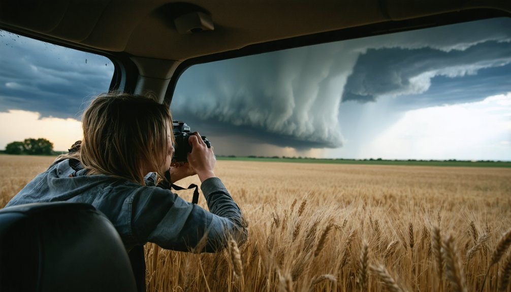
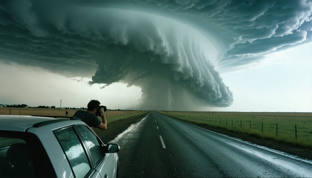
You can plan a storm chase across multiple timeframes, each demanding different tools and decisions. Book tour slots months in advance—May fills fast. At 48–72 hours, actionable model data from GFS, ECMWF, and NAM lets you evaluate MLCAPE, bulk shear, and SRH to assess tornado potential. Your final GO/NO-GO locks in around 48 hours out. Understanding each planning window will sharpen every decision you make before and during the chase.
Key Takeaways
- Storm chase tours can be booked months in advance, with May dates filling fastest due to peak tornado season demand.
- Long-range planning focuses on climatological patterns and logistics, not daily forecasts, securing positioning before the season begins.
- Meaningful atmospheric model analysis begins 48–72 hours out, when data on MLCAPE, shear, and SRH becomes actionable.
- Final GO/NO-GO decisions are confirmed approximately 48 hours prior, based on model consensus and key atmospheric thresholds.
- Equipment, offline maps, and travel logistics should be finalized 24 hours before Day One to avoid last-minute disruptions.
How Far in Advance Can You Actually Plan a Storm Chase?
Storm chasing planning operates across three distinct time horizons, each demanding different tools and decisions. You’re working months out when booking tour dates, analyzing meteorological patterns to align your schedule with peak severe weather windows.
Historical case data confirms mid-April through late June delivers the highest tornado probability across traditional alley corridors.
At the medium range, you’re identifying atmospheric ingredients 48–72 hours before initiation, running ECMWF and GFS models for extended outlooks. Your short-range window tightens to 24 hours, where you’re pulling MLCAPE, bulk shear, and SRH values to confirm conditions.
Each horizon requires a different discipline. Miss the long-range booking window, and you’ve lost your spot. Miss the short-range data review, and you’ve lost your shot.
Booking a Storm Chase Tour: Why Months of Lead Time Matter
If you’re targeting peak tornado season — mid-April through late June — you’ll need to secure your tour spot several months in advance, as high-demand windows fill quickly.
Operators structure their schedules around seasonal severe weather patterns, meaning available slots are a finite resource tied directly to climatological timing.
Book early, or you risk losing access to the exact forecast window you’ve spent months analyzing.
Seasonal Demand Drives Timing
Tornado season peaks between mid-April and the end of June, compressing demand into a narrow window that fills tour slots fast. Historical patterns confirm that May carries the highest tornado frequency across the Central Plains, making it the most contested booking period. Seasonal variations shift activity earlier or later, but the core window remains stubbornly narrow.
You’re competing against photographers, researchers, and thrill-seekers who all target the same six to eight weeks. Tour operators cap group sizes for safety and maneuverability, so available slots disappear quickly once operators open their calendars.
If you’re chasing outside May, a 10-day tour improves your odds during transitional weeks. Secure your spot several months out, or accept limited options and compromised positioning when severe weather fires.
Securing Spots Early
Booking a storm chase tour months before tornado season isn’t cautious—it’s operationally necessary. Tour slots fill quickly because demand concentrates between mid-April and late June, leaving little margin if you delay.
Forecasting technology can’t manufacture availability—it only tells you where to position once you’re already committed. Your travel logistics must align before any model data becomes relevant.
Secure your spot several months out, coordinate flights, and confirm the pre-arranged meeting night before departure. Departure flights get scheduled the morning after your final chase day, so every logistical variable needs locking down early.
Freedom to chase preferably means eliminating scheduling friction before the season opens. Early commitment isn’t a constraint—it’s what gives you maximum operational flexibility when the atmosphere delivers.
What the 48–72 Hour Window Reveals About Tornado Threats
At the 48–72 hour mark, you can begin identifying the critical atmospheric ingredients — MLCAPE, MUCAPE, bulk shear, and storm-relative helicity — that signal a credible tornado threat.
You’ll run model data from the ECMWF, GFS, and GEFS to assess synoptic-scale setups, then shift to AMN, NAM, HRRR, and RAP models as the event window tightens.
Your GO/NO-GO decision locks in at 48 hours out, giving you a data-driven threshold that separates a viable chase day from a wasted deployment.
Identifying Key Atmospheric Ingredients
Within the 48–72 hour planning window, forecasters can identify the key atmospheric ingredients that signal a significant tornado threat. You’ll analyze MLCAPE and MUCAPE values to assess instability, with MUCAPE typically running higher than the more operationally practical MLCAPE.
Bulk shear and storm-relative helicity (SRH) across the 0–1 km and 0–3 km layers confirm rotational potential. Shifts in atmospheric pressure drive cloud formation patterns that reveal where convective initiation is most likely.
Simulated reflectivity data pinpoints storm timing and location, while precipitation accumulation forecasts clarify intensity expectations.
Models like ECMWF, GFS, and GEFS provide the extended outlook, while NAM, RAP, and HRRR sharpen short-range precision.
Cross-referencing these parameters gives you a reliable, data-backed framework for committing to a chase target.
GO/NO-GO Decision Timing
The 48–72 hour window is where your GO/NO-GO decision crystallizes. By this point, you’re pulling NAM, HREF, and RAP model data alongside ECMWF and GFS extended outlooks to confirm whether atmospheric ingredients are actually converging.
You’re checking MLCAPE, bulk shear, and 0–1 km SRH values against simulated reflectivity to validate storm initiation timing and location.
Weather visualization tools like College of DuPage models sharpen your targeting markedly. If the data aligns—favorable shear profiles, sufficient instability, and a clear trigger mechanism—you commit.
If parameters look marginal or contradictory, you hold or redirect.
Storm safety depends on this discipline. Chasing a poorly-supported setup wastes resources and increases risk. Your final GO/NO-GO forecast, issued at 48 hours, locks in your positioning strategy before departure.
Model Data Drives Precision
When you’re operating inside the 48–72 hour window, model data stops being speculative and starts delivering actionable signal. Model accuracy sharpens considerably as initialization errors shrink and ensemble spread tightens.
You’re pulling from GFS and ECMWF for broader synoptic context, then cross-referencing NAM and RAP for mesoscale resolution.
Data integration becomes your tactical advantage here. You’re layering MLCAPE against bulk shear, checking 0–1 km SRH for low-level rotation potential, and validating simulated reflectivity for storm initiation timing and placement.
MUCAPE shows raw instability ceiling, but MLCAPE tells you what’s actually workable at the surface.
This window confirms whether ingredients are converging or collapsing. If the signal holds across multiple models, your GO decision gains real confidence. If it fragments, you adjust without hesitation.
When and Where to Chase: Timing the Season Right
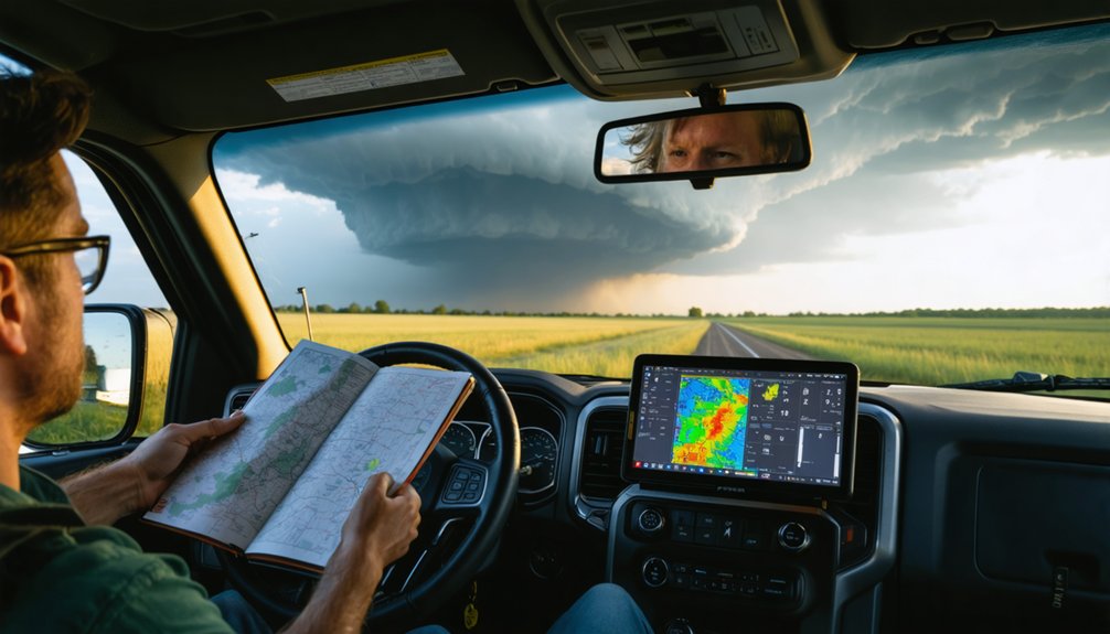
Timing your chase to the right window makes all the difference between productive days in the field and fruitless drives across empty skies.
Historical patterns place peak tornado activity across traditional Tornado Alley between mid-April and late June. Storm season intensity peaks in May and June, making that six-week stretch your highest-probability target.
Before or after May, extend your tour to 10 days to compensate for lower daily odds. Tornado day probability climbs to 8–10 days when you’re operating during predictable severe weather setups.
Geographically, keep your focus on the southern and central plains where moisture, instability, and shear converge most reliably.
Align your booking window with these seasonal constraints, and you’ll maximize every day you spend in the field.
How Guides Use Forecast Models to Pick Your Chase Days
Experienced guides don’t rely on a single model or a gut feeling—they layer multiple forecast tools across different time horizons to build confidence in a chase day.
At extended ranges, they lean on ECMWF, GFS, and GEFS to identify potential setups. As the window tightens to 48–72 hours, NAM, HREF, and RAP models sharpen the picture, revealing MLCAPE values, bulk shear, and storm-relative helicity across critical atmospheric layers.
Simulated reflectivity helps pinpoint storm initiation timing and location.
Forecast variability between models signals uncertainty, prompting guides to wait before committing. They understand model limitations clearly—no single run locks in a chase day.
Final GO/NO-GO decisions typically land 48 hours out, giving your tour group maximum preparation time without overcommitting to unreliable data.
The Numbers That Tell You a Tornado Day Is Coming

Those forecast models don’t mean much unless you know what numbers to look for once they load.
Those models are only as useful as your ability to read what they’re actually telling you.
Historical patterns and meteorological trends confirm that specific thresholds signal genuine tornado potential before you ever leave home.
Watch these parameters closely:
- MLCAPE: Values exceeding 2,000 J/kg indicate strong atmospheric instability
- Bulk shear: 40–60+ knots in the 0–6 km layer supports supercell organization
- 0–1 km SRH: Values above 150–200 m²/s² dramatically increase tornado probability
- MUCAPE: Higher values than MLCAPE confirm deep moisture available for storm intensification
When these numbers align within your 48–72 hour window, you’re likely looking at a legitimate chase day.
One parameter rarely tells the full story—convergence across all four confirms it.
What to Book, Know, and Settle Before Day One
Once the forecast numbers confirm a legitimate setup, logistics need to be locked down well before you’re anywhere near a target area. Book flights months out — historical patterns show seasonal demand fills tour slots fast.
Your departure flight should land the night before the first chase day; your return gets scheduled the morning after the last. Pay for flights before the pre-arranged meeting night.
Don’t leave equipment readiness for the final hours. Cameras, lenses, power banks, and offline maps with downloadable navigation data must be confirmed operational 24 hours prior.
Cellular dead zones are real across the Plains. Cross-reference your GO/NO-GO forecast at 48 hours out, then lock your intercept corridor.
Everything administrative should be resolved before models start updating on Day One.
Frequently Asked Questions
Can Solo Chasers Plan Effectively Without Joining an Organized Tour Group?
Yes, you can handle solo planning effectively. Skip tour organization and use MLCAPE, SRH, and GFS models to identify threats 48–72 hours out, securing your freedom to chase on your own terms.
How Does Storm Chasing Planning Differ Between the US and Other Countries?
You’ll find global storm patterns demand flexible timelines — tornado alley’s structured 48–72 hour forecasting doesn’t translate universally. International safety standards vary widely, so you’re adapting models, lead times, and logistics to each region’s unpredictable atmospheric infrastructure.
What Happens to Your Booking if No Tornadoes Occur During Your Tour?
Your booking stands regardless of outcomes—weather predictions can’t guarantee tornadoes. Tour cancellations don’t occur simply due to missed sightings; you’re paying for the expert-guided chase experience, positioning, and atmospheric data interpretation throughout your adventure.
Are There Age or Physical Fitness Requirements for Joining a Storm Chase Tour?
Before the storm hits, you’ll need to be ready—most tours don’t enforce strict age limits, but you must handle storm chase gear and weather prediction demands with solid mobility and endurance.
How Do Storm Chasing Guides Handle Unexpected Forecast Busts Mid-Tour?
When forecasts bust mid-tour, your guides pivot using updated model data, applying forecast flexibility to redirect chase targets. They’ll reassess CAPE and shear values while maintaining safety protocols, ensuring you’re always positioned for the best storm opportunities.
References
- https://www.youtube.com/watch?v=6otZLjSZvPU
- http://www.stormeyes.org/tornado/chasing/FAQ/
- https://www.youtube.com/watch?v=SrL_BTSHY88
- https://www.silverliningtours.com/tour-experience/types-of-tours/call-storm-chasing/
- https://www.stormchasingusa.com/how-many-days-to-go-on-a-storm-chasing-tour/
- https://www.youtube.com/watch?v=uGw057nHb6w
- https://www.geog.psu.edu/alumni/stay-connected/earthshine-alumni-magazine/issue/3/article/thrill-chase
- https://petapixel.com/2020/09/05/how-i-chase-and-photograph-storms-and-lightning-strikes/
- https://www.ustornadoes.com/2018/03/30/best-time-year-schedule-storm-chasing-vacation/
- https://www.youtube.com/watch?v=wpCmJXEqxKQ