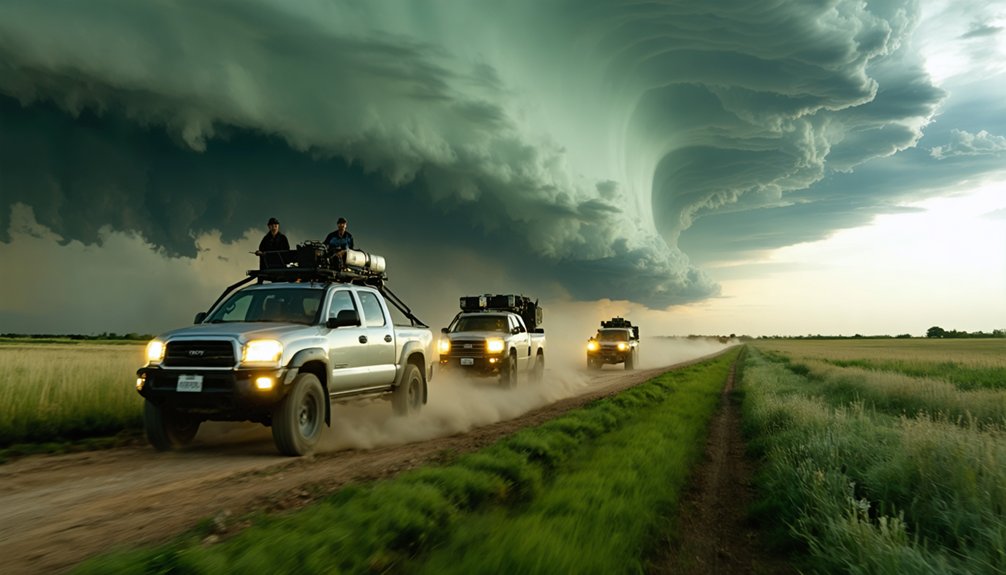
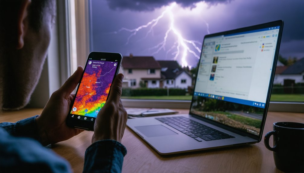
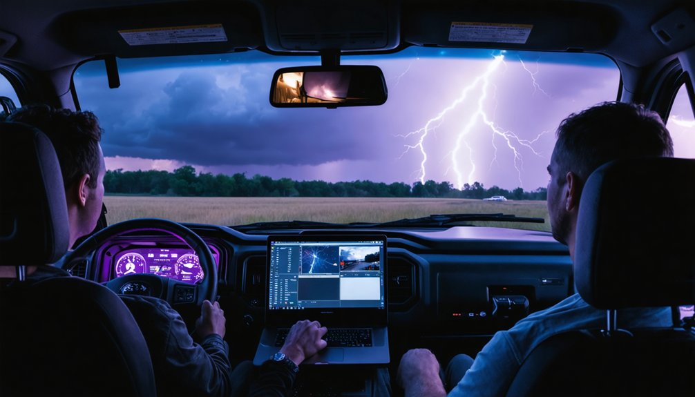
For storm chasing, you’ll need apps that deliver real-time NEXRAD data with minimal latency, precise storm cell tracking, and reliable wind shear analysis. RadarScope remains the industry standard, while MyRadar offers fast situational awareness and RadarOmega provides advanced overlays. Free apps can’t match paid platforms’ dual-polarization products and configurable alerts during rapid storm developments. Pairing radar apps with satellite tools and weather modeling sites builds the complete operational stack professionals depend on.
Key Takeaways
- RadarScope is the industry standard, offering real-time NEXRAD Level 3 data, storm tracking, and wind shear analysis for professional storm chasers.
- Paid apps outperform free versions by providing high-resolution imagery, dual-polarization products, and configurable alerts without disruptive ads.
- MyRadar delivers quick situational awareness with lightning tracking, automated alerts, and a user-friendly interface requiring minimal setup.
- Combining radar, satellite, and modeling tools like GOES.NOAA and PivotalWeather creates a comprehensive, reliable storm monitoring stack.
- SPC.NOAA provides essential mesoscale discussions, severe weather outlooks, and watch information critical for informed storm chasing decisions.
What Storm Chasers Actually Need From a Radar App
When you’re chasing storms, a radar app isn’t just a convenience—it’s a critical decision-making tool that directly affects your safety and positioning. You need real-time NEXRAD data with minimal latency, precise storm cell tracking, and wind shear analysis you can act on immediately.
Data customization matters because every chaser operates differently. You should control which overlays display, how reflectivity thresholds render, and what alert parameters trigger notifications. Generic defaults won’t cut it when you’re repositioning with minutes to spare.
Sensor integration separates functional apps from professional-grade tools. Your app must pull from multiple data streams simultaneously—radar, satellite, surface observations, and lightning detection—synthesizing them into one coherent operational picture. Without that integration, you’re making decisions with incomplete information, and incomplete information in severe weather kills.
Best Radar Apps Storm Chasers Rely On Most
When it comes to radar apps, you’ll find RadarScope at the top of nearly every professional storm chaser’s toolkit. It delivers real-time NEXRAD Level 3 data with storm track overlays and wind shear analysis across iOS, Android, and Windows platforms.
If you’re prioritizing ease of use without sacrificing core functionality, MyRadar’s streamlined interface gives you quick storm visualization, lightning tracking, and automated severe weather alerts with minimal setup.
For more granular meteorological analysis, RadarOmega’s high-resolution data and advanced overlay tools make it the go-to choice when you need precise wind and precipitation monitoring in rapidly evolving storm environments.
RadarScope Leads The Pack
Among the radar apps storm chasers rely on, RadarScope stands out as the industry standard. You’ll access NEXRAD Level 3 data in real-time, giving you the precision needed for accurate storm pattern analysis in rapidly evolving conditions.
The app’s radar calibration capabilities guarantee you’re working with reliable, high-resolution data rather than interpolated estimates that could compromise your positioning decisions.
Available across iOS, Android, and Windows 10, RadarScope integrates directly with NWS data, delivering severe weather alerts without delay.
Its overlay features—including storm tracks and wind shear analysis—let you build a thorough situational picture fast.
Professional chasers consistently choose RadarScope because it eliminates guesswork, putting verified meteorological data directly in your hands when conditions deteriorate and accurate decision-making matters most.
MyRadar’s User-Friendly Design
Not every storm chaser needs raw Level 2 data and granular radar calibration controls—sometimes you need fast, reliable visualization without a steep learning curve. MyRadar delivers exactly that through a clean, intuitive user interface that prioritizes speed over complexity.
You’ll get hurricane tracking layers, lightning overlays, and global weather coverage without wading through dense configuration menus. The software customization options let you toggle layers independently, keeping your display uncluttered during active chase scenarios.
Automated severe weather alerts push directly to your device, so you’re never caught off guard.
MyRadar won’t replace RadarScope for professional-grade analysis, but it’s a legitimate secondary tool when you need quick situational awareness. It runs efficiently on mobile hardware, requires no specialized training, and delivers actionable storm data fast.
RadarOmega’s Advanced Features
RadarOmega sits firmly in the professional tier of radar applications, delivering high-resolution data that serious chasers rely on when precision matters most. Its radar customization and data integration capabilities give you direct control over how you analyze developing storms.
Here’s what RadarOmega brings to your toolkit:
- High-resolution radar data for precise storm cell identification
- Advanced overlay tools covering wind shear and precipitation analysis
- Flexible radar customization options tailored to your operational preferences
- Multi-platform data integration supporting seamless workflow across devices
- Real-time updates enabling rapid storm tracking decisions
You’re not guessing with RadarOmega — you’re working with detailed meteorological data that keeps you ahead of rapidly evolving conditions. When margins are tight and accuracy is non-negotiable, this app delivers the analytical depth professional chasers demand.
Free vs. Paid Storm Chasing Apps: Which Wins?
When you rely on free storm chasing apps, you’ll encounter critical limitations like delayed radar updates, lower data resolution, and restricted access to advanced overlays such as wind shear analysis and storm track integration.
Paid apps like RadarScope and RadarOmega give you real-time NEXRAD Level 3 data, high-resolution imagery, and professional-grade tools that free platforms simply can’t match.
If you’re serious about precision storm monitoring, the data accuracy and feature depth of paid apps consistently outperform free alternatives in high-stakes chasing scenarios.
Free App Limitations
Free storm chasing apps often restrict access to raw NEXRAD Level 2 data, locking you into lower-resolution Level 3 feeds that reduce storm-scale precision when it matters most. These limitations directly compromise your situational awareness during rapid storm development.
Common free app limitations include:
- Radar data refresh rates throttled to 5–10 minute intervals, creating dangerous gaps during fast-moving supercells
- Delayed app updates that lag behind critical NWS algorithm improvements
- No dual-polarization product access, eliminating debris signature detection
- Restricted overlay tools, removing wind shear and storm-relative velocity analysis
- Ad interruptions that fragment your workflow during time-sensitive chase decisions
You’re trading operational capability for zero cost. When storm environments evolve quickly, those restrictions aren’t minor inconveniences—they’re tactical disadvantages that paid platforms eliminate entirely.
Paid App Advantages
Paid apps eliminate the operational gaps that free tiers impose—and that difference compounds fast when you’re tracking a tornadic supercell. RadarScope’s Pro tier access NEXRAD Level 2 data, giving you 0.5° base reflectivity at full resolution—detail that free versions simply don’t deliver.
You’ll also gain user customization across dual-pane layouts, configurable alert thresholds, and storm-relative velocity overlays. That configurability isn’t cosmetic; it’s operational.
Cost efficiency emerges when you calculate what fragmented free tools cost you in decision latency versus one consolidated paid platform. Hazwx and RadarOmega bundle high-resolution model data, lightning overlays, and real-time radar under single subscriptions.
You’re not paying for convenience—you’re paying for precision. When storm structure evolves in minutes, that precision defines whether you’re positioned correctly or dangerously wrong.
Top Weather Model Sites for Storm Chasing Days
Selecting the right weather model sites can make or break your storm chasing day. Weather pattern shifts happen fast, and data accuracy determines whether you’re positioned correctly or miles off target.
These five sites deliver the precision you need:
- PivotalWeather – Free HRRR and high-resolution model data with interactive visualization tools
- Weather.COD – Multiple model datasets with real-time storm monitoring and mesoanalysis features
- SPC.NOAA – Official mesoscale discussions, severe weather outlooks, and watch information
- WPC.NCEP – Global model datasets supporting real-time forecast and surface observation analysis
- Hazwx – Premium high-resolution model data with radar, lightning, and satellite overlays
Cross-reference at least two sites before committing to a chase target. Relying on a single model exposes you to forecast errors that cost you the storm.
Satellite Tools Storm Chasers Keep Open All Day
Satellite imagery runs in the background on every serious chase day because gaps in your situational awareness get people killed. You’ll want GOES.NOAA open continuously, pulling high-resolution mesoscale sector scans every 60 seconds during active convection. It lets you track updraft towers, overshooting tops, and anvil spread without depending solely on radar returns.
Star.NESDIS supplements that feed with multispectral imagery, giving you cloud-top temperature gradients that reveal intensification before reflectivity spikes.
SPCEXPER ties satellite storm tracking directly into mesoscale discussions, so you’re interpreting imagery within an operational forecasting context.
Don’t treat these tools as optional. When you’re repositioning between storms, satellite imagery tells you what’s organizing 80 miles ahead while your radar app shows you what’s already happening.
Desktop Software for Serious Radar Analysis
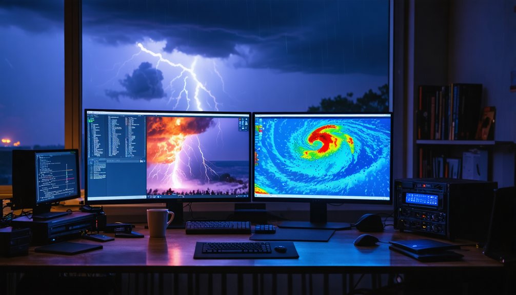
Desktop software gives you capabilities that mobile apps can’t match when you’re doing serious pre-chase radar analysis. Programs like GRLevel3 let you control radar calibration settings and data interpolation parameters that mobile platforms simply lock away from you.
Here’s what serious desktop tools deliver:
- GRLevel3 – direct NEXRAD stream access with full radar calibration control
- Pykl3 – customizable overlays with precise data interpolation algorithms
- WeatherPrediction – advanced wind shear and precipitation mapping tools
- Meted.UCAR – professional-grade meteorological analysis frameworks
- Mob-Rule – Google Maps integration with county-level storm overlays
You’re not limited by simplified interfaces here. These programs put raw data directly in your hands, letting you make independent, informed decisions before you ever leave your driveway.
Mobile Apps Storm Chasers Use for Fast Decisions
When you’re mid-chase and need radar data fast, mobile apps cut through the noise with real-time storm visualization and automated alerts. RadarScope delivers NEXRAD Level 3 data with real-time updates, making it the go-to choice for professionals who demand data accuracy under pressure.
MyRadar offers simplified radar overlays with lightning tracking and hurricane layers, ideal when you need quick situational awareness.
WeatherFront provides customizable viewing with seamless weather model integration, while Storm Chaser Atlas delivers automated severe weather alerts without lag.
Texas Storm Chasers adds community-sourced updates that supplement official data streams.
Each app prioritizes speed and precision, ensuring you’re never working from stale information when conditions shift rapidly. Choose tools that match your operational tempo and data requirements.
How to Build a Complete Storm Chasing Tool Stack
Building a complete storm chasing tool stack means layering specialized tools across radar, modeling, satellite, and desktop analysis to eliminate data gaps during active chases. You’ll need reliable storm tracking coverage across every data tier to maintain situational awareness when conditions shift fast.
Structure your stack around these core components:
- Radar: RadarScope for real-time NEXRAD storm tracking and wind shear overlays
- Modeling: PivotalWeather for HRRR-based pathway analysis
- Satellite: GOES.NOAA for real-time mesoscale imagery
- Desktop Analysis: GRLevel3 for advanced precipitation and shear mapping
- Weather Alerts: SPC.NOAA for official mesoscale discussions and watch data
Cross-referencing these tools removes single-source dependency. You control your data inputs, your decision timing, and your escape routes — no gaps, no blind spots.
How Professional Chasers Run These Apps in the Field
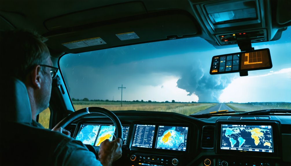
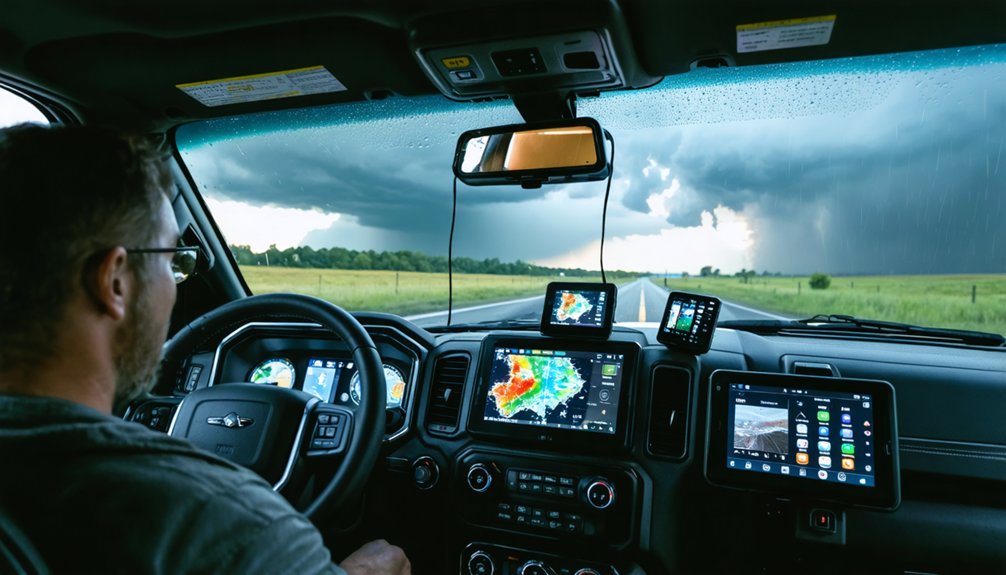
Running multiple apps simultaneously in the field requires a disciplined workflow built around device roles and data priority. You’ll want to dedicate one device exclusively to radar—RadarScope or RadarOmega—while a second handles storm tracking via PivotalWeather or SPC.NOAA model data.
A third device or mounted tablet manages navigation and satellite feeds from GOES.NOAA.
Professional chasers structure their data layers by threat level, pulling mesoscale discussions first, then drilling into Level 3 radar for rotation signatures. You’re making split-second decisions, so every app must be pre-configured before deployment.
Safety protocols demand you establish exit routes before intercept, cross-referencing storm path predictions against road networks using Mob-Rule’s county overlays. Never let data consumption outpace situational awareness—your tools inform your decisions, but your judgment keeps you alive.
Frequently Asked Questions
Can Storm Chasing Apps Function Reliably in Areas With Poor Cellular Connectivity?
You’ll face connectivity challenges, but satellite communication keeps you linked when cell networks fail. Download offline maps beforehand so you’re not dependent on live data streams while tracking storms in remote, low-coverage terrain.
Are There Legal Restrictions on How Close Storm Chasers Can Approach Tornadoes?
Like Icarus tempting fate, you’ll find no federal legal restrictions on tornado approach distance. However, you must follow local safety guidelines, as authorities can enforce legal restrictions on road closures near active tornado zones.
How Much Data Do Radar Apps Consume During an Active Storm Chasing Session?
During an active session, you’ll consume 50–200MB per hour, depending on radar data refresh rates and app accuracy. Higher resolution streams drain more data, so you’ll want an unlimited plan for uninterrupted chasing freedom.
Do Storm Chasing Apps Work Internationally Outside of the United States Coverage Area?
Like a compass losing its north, some apps falter internationally. Your international coverage varies by app—MyRadar offers global reach, while RadarScope focuses on U.S. NEXRAD data. App localization determines functionality, so you’ll need region-specific tools abroad.
What Battery-Saving Strategies Do Storm Chasers Use When Running Multiple Apps?
You’ll maximize battery optimization by dimming your screen, disabling unused GPS layers, and enabling low-power mode. Prioritize power management by closing background apps, carrying portable chargers, and limiting refresh rates on non-critical storm monitoring tools.
References
- https://www.reddit.com/r/stormchasing/comments/1qa9hh6/what_radar_app_do_storm_chasers_usually_use/
- https://www.youtube.com/watch?v=Rd6JPzOoxGo
- https://www.stormguardrc.com/resources/best-weather-apps-for-storm-tracking/
- https://www.reddit.com/r/stormchasing/comments/8tzj5w/what_appswebsites_should_i_use_for_storm_chasing/
- https://www.facebook.com/groups/6926972223/posts/10162109950822224/
- https://www.youtube.com/watch?v=RE9GemgDryQ
- https://ccgit.crown.edu/cyber-reels/top-weather-apps-for-storm-chasers-1767648368
- https://apps.apple.com/hr/app/storm-chaser-atlas/id6758031108
- https://www.youtube.com/watch?v=HCxFY1xiJC4
- https://www.reddit.com/r/stormchasing/comments/1kkc5vs/what_apps_or_websites_do_storm_chasers_use/