Doppler radar gives you a powerful edge in storm chasing by measuring both precipitation intensity and velocity simultaneously, creating a 3D picture of storm structure in real time. You can detect Tornado Vortex Signatures kilometers before touchdown, identify hook echo formations, and confirm ground contact through dual-polarization debris detection. It’s faster, more precise, and more actionable than traditional radar systems. Stick around to uncover exactly how each capability works to sharpen your storm intelligence.
Key Takeaways
- Doppler radar measures both precipitation intensity and wind velocity simultaneously, giving storm chasers a detailed, real-time 3D picture of storm structure.
- Mobile systems like Doppler on Wheels allow storm chasers to collect close-range, highly detailed data by deploying directly into storm environments.
- Hook echo patterns visible in reflectivity data signal conditions favorable for tornado development, enabling chasers to anticipate dangerous storms quickly.
- Tornado Vortex Signatures detect rotation kilometers above ground before touchdown, extending warning windows and improving chaser safety and positioning decisions.
- Dual-polarization technology distinguishes airborne debris from precipitation, confirming active tornado ground contact even under poor visibility conditions.
How Doppler Radar Actually Works in Storm Chasing
When a Doppler radar unit emits pulses of radio waves, it’s measuring two critical data points simultaneously: the intensity of signals bouncing back from precipitation particles and the velocity shift in those return signals. You’re fundamentally getting a three-dimensional moving picture of storm structure, distinguishing targets moving toward the radar from those moving away.
Historical case studies confirm that this dual-measurement capability dramatically improves tornado detection accuracy over conventional radar systems. The system’s computer algorithms then process raw velocity patterns, identifying rotation signatures kilometers before ground contact occurs.
However, you must account for radar maintenance schedules, since degraded equipment introduces velocity aliasing errors and beam height constraints that compromise data reliability. Combining well-maintained Doppler systems with supplementary data sources gives you the most defensible, actionable storm analysis available.
How Doppler Radar Outperforms Traditional Radar
Traditional radar systems measure only precipitation intensity, leaving you blind to the velocity data that separates a dangerous rotating supercell from ordinary thunderstorm activity. Doppler technology eliminates that critical gap by simultaneously mapping precipitation distribution and target motion, giving you actionable intelligence that static systems can’t deliver.
Where weather satellite imagery provides broad atmospheric context and climate modeling establishes baseline storm behavior patterns, Doppler radar delivers real-time, granular velocity signatures at storm scale. You’re getting dual-polarization returns that distinguish debris fields from precipitation, composite reflectivity products that reveal hook echo structures, and Tornado Vortex Signatures appearing kilometers before ground contact.
That’s a quantifiable intelligence advantage. Traditional systems leave you reacting; Doppler keeps you ahead of dangerous rotation with precision that directly extends your warning window.
How to Read Doppler Radar Velocity Patterns and TVS
When you examine Doppler radar velocity displays, you’ll see color-coded data where inbound targets appear in one hue and outbound targets in another, letting you instantly distinguish wind directions across a storm’s structure.
You can identify a Tornado Vortex Signature by locating a tight, concentrated couplet of opposing velocities indicating intense rotation several kilometers above ground, often appearing before a tornado actually touches down.
Once you spot that rotation signature, you’ll want to cross-reference it with hook echo patterns in reflectivity products to confirm whether conditions favor tornado development at the surface.
Understanding Velocity Pattern Basics
Doppler radar velocity patterns split incoming data into two color-coded categories: targets moving toward the radar and targets moving away. You’ll typically see warm color gradients—reds and oranges—representing outbound motion, while cool tones like greens and blues indicate inbound movement.
The sharper the color contrast across a narrow boundary, the stronger the rotational shear you’re analyzing.
Data interpolation fills gaps between radar pulses, giving you a continuous velocity field rather than isolated point measurements. You’re reading a synthesized picture, not raw unprocessed returns.
When adjacent pixels show opposing colors in tight proximity, that’s concentrated rotation worth flagging. Understanding this gradient structure lets you distinguish broad, disorganized wind shifts from compact, intense circulation signatures—the kind that precede dangerous storm development and demand immediate forecaster attention.
Identifying TVS On Radar
Spotting a Tornado Vortex Signature on radar means you’re looking for a specific velocity couplet—a tight pairing of strong inbound and outbound velocities positioned in close proximity within the same storm cell.
This signature appears kilometers above ground before touchdown, giving you critical lead time.
On your display, the TVS registers as adjacent contrasting colors—typically red and green—indicating opposing motion within a concentrated area.
Cross-reference this data against meteorological modeling outputs to validate rotation intensity and confirm the signature isn’t aliasing noise.
Climate prediction frameworks also contextualize whether atmospheric conditions support continued intensification.
You’ll want to verify gate-to-gate shear values exceed threshold parameters, typically 90 knots or greater across short distances.
Combining TVS identification with reflectivity hook echo patterns sharpens your situational awareness considerably.
Interpreting Rotation Signatures
Reading rotation signatures effectively requires understanding how velocity data translates into actionable storm intelligence. You’re analyzing adjacent pixels showing opposing velocities — inbound greens beside outbound reds — indicating concentrated rotation.
Combined with satellite imagery and climate modeling context, these patterns sharpen your situational awareness considerably.
Key interpretation markers include:
- Gate-to-gate shear: Tight velocity couplets signal intense mesocyclone development
- TVS identification: Concentrated rotation appearing kilometers aloft before surface contact
- Rotational velocity thresholds: Values exceeding 90 knots warrant immediate tactical decisions
- Couplet vertical continuity: Rotation persisting through multiple elevation scans confirms organized structure
- Hook echo correlation: Cross-referencing reflectivity confirms rotation aligns with precipitation wrapping
You control your response by reading these signatures accurately, cutting through uncertainty and making independent, data-driven decisions before conditions deteriorate.
How Hook Echoes Signal Tornado Conditions on Doppler Radar
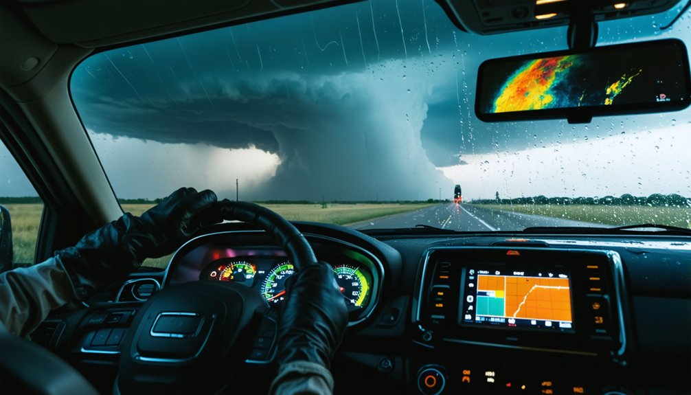
When analyzing Doppler radar imagery, one of the most recognizable storm signatures you’ll encounter is the hook echo—a curved appendage extending from the southern or southwestern edge of a supercell’s main precipitation core.
This formation develops as strong rotational winds wrap precipitation around a mesocyclone, creating that distinctive hooked shape in reflectivity data.
You’ll want to cross-reference the hook echo with velocity products, looking for tight rotation couplets nearby.
As climate change intensifies storm frequency, recognizing these signatures faster protects vulnerable urban infrastructure from catastrophic damage.
The hook echo doesn’t confirm a tornado—it signals favorable conditions where one could develop.
Combined with the Tornado Vortex Signature appearing kilometers aloft, you’ve got compelling evidence demanding immediate action and precise, data-driven warning decisions.
How Dual-Polarization Radar Confirms a Tornado on the Ground
When you analyze dual-polarization radar data, you can identify the debris signature a tornado produces as it tears through structures and vegetation.
Unlike rain or hail, random debris such as leaves, insulation, and wood fragments generates irregular polarimetric returns that algorithms flag as a Tornado Debris Signature (TDS).
You’re then able to confirm ground-level tornado presence with high confidence, even when visibility conditions prevent direct visual verification.
Detecting Random Debris Signatures
How does a forecaster know a tornado has actually touched the ground? Dual-polarization radar detects random debris signatures — leaves, insulation, and structural fragments lofted into the storm’s circulation. Unlike rain or hail, debris produces erratic, irregular returns that confirm ground contact.
Key indicators you’ll see in dual-pol data:
- Correlation coefficient drops sharply near the surface
- Reflectivity values remain high within the vortex
- Differential reflectivity becomes highly erratic
- Surface contamination distinguishes debris from precipitation targets
- Debris signatures appear precisely where rotation intersects the ground
This data eliminates guesswork. You’re no longer relying solely on visual confirmation or storm spotter reports. The radar tells you definitively when a tornado is producing damage at the surface, giving you actionable intelligence before video evidence even emerges.
Confirming Ground-Level Tornado Presence
Dual-polarization radar doesn’t just detect rotation — it confirms whether a tornado has physically intersected the ground by identifying the debris field it lofts into the circulation. When correlation coefficient values drop sharply within a rotating signature, you’re seeing irregularly shaped objects — insulation, vegetation, structural fragments — behaving differently than uniform precipitation. That confirmation is operationally decisive.
Unlike satellite imagery, which operates at coarser resolution and broader scale, dual-pol delivers ground-truth data in real time. While climate modeling helps contextualize long-term tornado climatology, it can’t confirm what’s happening at surface level right now.
You gain a distinct analytical edge when correlation coefficient, reflectivity, and velocity data converge simultaneously, transforming ambiguous rotation signatures into confirmed tornado detections with the precision modern storm chasing and public safety operations demand.
How Mobile Doppler Radar Works in the Field
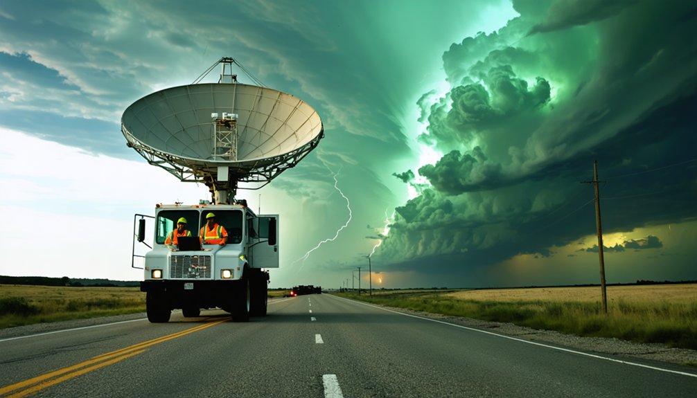
Mobile Doppler radar systems, like the Doppler on Wheels (DOW), are mounted on flatbed trucks to bring high-resolution data collection directly into the path of severe weather. You get close-range measurements that fixed radar networks simply can’t provide, giving you freedom to analyze evolving weather patterns with precision.
Key operational capabilities include:
- Radar calibration guarantees accurate velocity and reflectivity readings before deployment
- Chasing thunderstorms across tens of thousands of miles captures groundbreaking field data
- Mobile units distinguish snowflake and raindrop size and shape in winter storms
- Deployment frequency adapts directly to real-time research needs and storm conditions
- NSF-backed investments continuously push detection range and precision boundaries
You’re working with a system that delivers unmatched situational awareness, putting critical storm data exactly where you need it.
Range, Aliasing, and Beam Height: Doppler Radar Limitations
Although Doppler radar delivers powerful storm analysis capabilities, you’ll encounter hard operational boundaries that distort or block critical data. Range limitations restrict detection accuracy as beam height increases with distance, causing you to miss low-level storm features critical for tornado identification.
Range limitations expose radar’s hard boundaries—beam height climbs with distance, hiding the low-level storm features that matter most.
Velocity aliasing corrupts wind speed readings when targets exceed the radar’s maximum unambiguous velocity, forcing you to interpret folded data carefully.
Signal attenuation weakens return pulses through heavy precipitation cores, degrading data integrity precisely when you need sharpest resolution. Radar calibration errors compound these issues, introducing systematic biases into reflectivity and velocity measurements.
You can’t rely on radar data in isolation—integrating surface observations, soundings, and satellite imagery fills gaps these limitations create. Understanding each constraint sharpens your analytical decisions and prevents costly misinterpretations during active storm operations.
How Doppler Radar Gives Storm Chasers Earlier Tornado Warnings
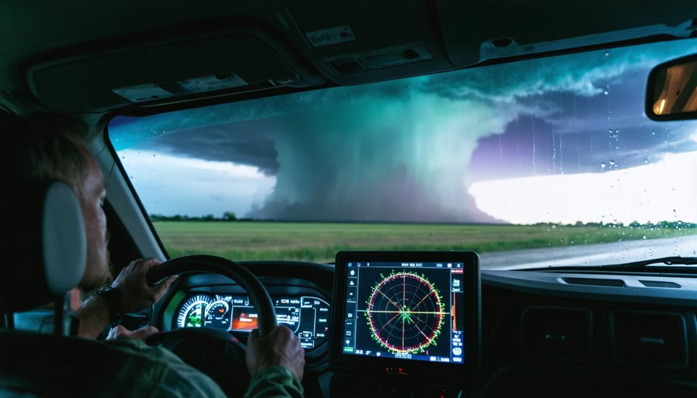
Doppler radar’s Tornado Vortex Signature gives you critical lead time by detecting intense concentrated rotation kilometers above ground before any tornado touches the surface. Combined with historical storm patterns and precise radar calibration, you’re equipped to act decisively before conditions deteriorate.
Key advantages driving earlier tornado warnings:
- TVS detection appears on radar several kilometers before ground contact occurs
- Hook echo patterns signal favorable tornado formation conditions in real time
- Dual-polarization technology confirms ground-level tornadoes by identifying airborne debris
- Historical storm patterns sharpen your interpretation of recurring regional signatures
- Radar calibration guarantees velocity data accurately reflects rotation intensity
These tools collectively push warning lead times earlier, giving you and surrounding communities maximum preparation time before dangerous weather arrives.
Frequently Asked Questions
What Certifications Do Storm Chasers Need to Operate Doppler Radar Equipment?
The knowledge base doesn’t specify certification requirements for operating Doppler radar. You’ll need formal training in radar calibration, but professional systems demand significant expertise and investment—so you’re best researching accredited meteorology or engineering programs for precise certification requirements.
How Much Does a Professional Mobile Doppler Radar System Typically Cost?
You’re looking at millions in investment for professional mobile Doppler radar systems. They’ll demand rigorous radar calibration and ongoing maintenance procedures, requiring significant expertise and financial commitment to operate effectively across storm-chasing deployments.
Can Doppler Radar Data Be Accessed in Real Time by the Public?
You’ve got open skies ahead—radar data accessibility is yours through platforms like Weather.gov. Public storm tracking lets you analyze live Doppler feeds, velocity patterns, and precipitation data independently, empowering your freedom to monitor severe weather in real time.
How Do Storm Chasers Coordinate With National Weather Service Forecasters During Chases?
You coordinate directly with NWS forecasters through shared storm chasing technology platforms, exchanging real-time radar data, ground-truth reports, and storm positioning. This weather forecasting collaboration strengthens warning accuracy, giving communities greater freedom to prepare effectively.
What Safety Protocols Protect Storm Chasers Deploying Mobile Radar Near Tornadoes?
Like a chess grandmaster, you’re always planning exits: maintain storm shelter coordinates, prioritize emergency preparedness checklists, monitor real-time radar velocity data, establish escape routes perpendicular to storm motion, and never let proximity override your analytical risk assessment protocols.
References
- https://crazystormchasers.com/doppler-radar-technology-for-severe-weather-detection/
- https://climeradar.com/blog/use-of-doppler-radar-in-storm-tracking
- https://apps.dtic.mil/sti/trecms/pdf/ADA010434.pdf
- https://www.youtube.com/watch?v=G2upCSLvmks
- https://www.nsf.gov/impacts/doppler
- https://www.livescience.com/17113-doppler-radar-peers-winter-storms.html
- https://www.youtube.com/watch?v=sBQjxJbLQcw&vl=en
- https://www.youtube.com/watch?v=3lF416dpiDI
- https://www.nssl.noaa.gov/education/svrwx101/tornadoes/detection/
- https://journals.ametsoc.org/downloadpdf/view/journals/bams/45/9/1520-0477-45_9_587.pdf



