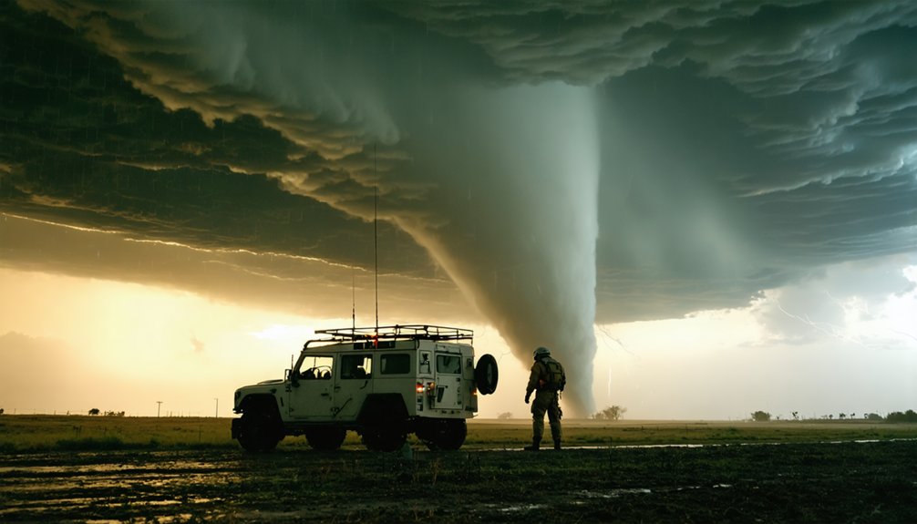
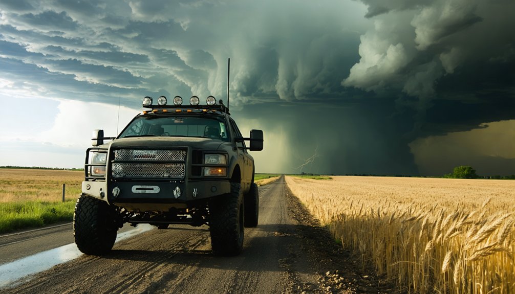
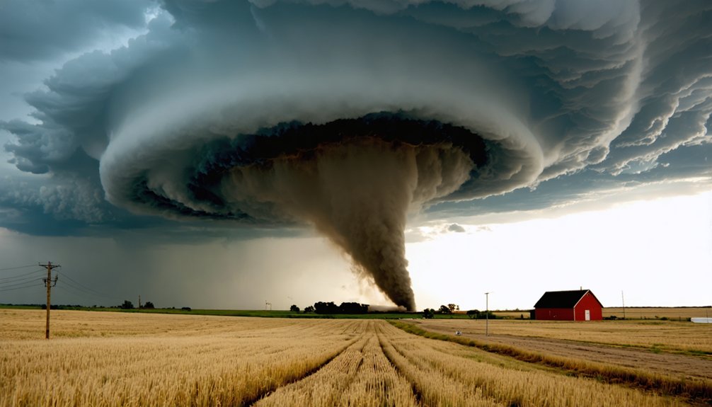
You’re chasing where warm Gulf moisture, cold continental air, and powerful wind shear collide across northern Texas through Nebraska. Before a tornado forms, watch for rapid cap breaks, surging low-level moisture, and dry line convergence triggering explosive supercell growth. Spring’s polar jet stream dips south, amplifying wind shear and instability. Track hook echoes, velocity couplets, and BWER signatures on radar to confirm mesocyclone organization. Everything you need to chase smarter and safer is ahead.
Key Takeaways
- Tornado Alley’s most volatile conditions arise when warm Gulf moisture collides with cold, dry continental air under strong wind shear.
- April through June offers peak chasing opportunities as the polar jet stream dips south, enhancing upper-level wind shear.
- Hook echoes and velocity couplets on radar confirm supercell rotation and potential tornado formation.
- Position southeast of storm initiation zones, maintaining a 1–3 mile buffer with clear escape routes available.
- Dry lines, cold fronts, and low-pressure centers act as critical triggers, breaking atmospheric caps and igniting explosive storm development.
What Makes Tornado Alley a Hot Zone for Chasers?
Tornado Alley earns its reputation because three critical atmospheric ingredients converge there more reliably than almost anywhere else on Earth: warm, moist Gulf air at the surface, cold and dry continental air aloft, and strong wind shear. This collision zone spans northern Texas through Oklahoma, Kansas, and Nebraska, though storm myths suggest fixed, rigid boundaries — they don’t exist. The region’s geography simply maximizes ingredient overlap.
You’ll find spring, particularly April through June, delivers the sharpest instability. The polar jet stream dips south, frontal boundaries sharpen, and dry lines ignite explosive supercell development.
Tornado myths often minimize wind shear’s role, but directional and speed changes with height directly drive mesocyclone formation. Understanding these dynamics gives you a genuine tactical edge in the field.
What the Atmosphere Is Actually Doing Before a Tornado Forms
Knowing the ingredients that make Tornado Alley volatile is only half the picture — understanding how those ingredients interact in real time is what separates smart positioning from dangerous guesswork.
Before a tornado forms, atmospheric stability collapses rapidly. Warm, moist Gulf air surges northward beneath a cap of cooler, drier air aloft. That cap suppresses convection temporarily, building explosive energy underneath.
When a trigger — a dry line, cold front, or low-pressure center — finally breaks the cap, you’ll watch cloud formation accelerate sharply. Towers punch upward fast and hard.
Simultaneously, wind shear tilts the rising updraft, introducing rotation. The mesocyclone tightens as the storm matures.
You’re tracking that sequence in real time, reading radar and sky together, watching atmospheric stability deteriorate precisely where supercell development becomes most likely.
How Supercells Become Tornado-Producing Machines in Tornado Alley
When the cap breaks and towers explode upward, you’re watching the early stage of what could become a supercell — the storm type responsible for the most destructive tornadoes in Tornado Alley.
Strong vertical wind shear tilts the updraft’s horizontal rotation into the vertical plane, triggering storm rotation within the mesocyclone.
As the supercell matures, the rotating updraft tightens, intensifying angular momentum.
Watch for the hook echo on radar — precipitation wrapping around the updraft signals organized rotation and elevated tornado formation risk.
A lowering beneath the storm base confirms the circulation is consolidating near the surface.
At that point, a condensation funnel reaching the ground marks full tornado formation.
Understanding this sequence lets you position strategically, maximizing observation while maintaining a viable escape route.
Why Spring Is the Peak Window for Chasing Tornado Alley?
When you chase Tornado Alley in spring, you’re working within the narrowest window of maximum atmospheric overlap—warm Gulf moisture, cold continental air, and strong vertical wind shear converge most reliably from April through June.
The polar jet stream dips southward during this period, delivering the upper-level support that tilts storm updrafts and drives mesocyclone development.
You’ll find your best chase days clustering around trigger boundaries—dry lines, cold fronts, and low-pressure centers—that force rapid lifting and ignite supercell-producing instability.
Spring Atmospheric Ingredients Align
Spring earns its reputation as the prime chase window because three critical atmospheric ingredients converge with unusual reliability across Tornado Alley from April through June. Warm, moist Gulf air surges northward while cold, dry continental air descends from the Rockies, and the polar jet stream dips southward, delivering the wind shear supercells demand.
Climate patterns show this overlap peaks between April and June, giving you the highest probability of explosive storm development. Satellite imagery lets you track the dry line’s position in real time, identifying where instability is building before convective initiation occurs.
When you combine strong surface moisture, elevated cold air, and directional wind shear in a single environment, rotating updrafts become far more likely, making spring your most productive and tactically efficient chase period.
Jet Stream Drives Storm Activity
Behind every volatile spring storm setup sits the polar jet stream, and understanding its behavior sharpens your ability to predict when and where supercells will fire.
When the jet dips southward, it delivers the upper-level wind shear that tilts storm updrafts into rotation. Climate change is shifting jet stream patterns, debunking tornado myths that assume fixed seasonal windows.
Watch for these jet-driven signals:
- A sharp jet streak positioned directly over the dryline
- 500mb winds exceeding 50 knots above your target zone
- Pronounced height falls indicating rapid pressure drops aloft
- Strong divergence aloft supporting explosive updraft development
- Backing surface winds beneath a veering wind profile overhead
These convergence points define your highest-probability chase windows with precision.
Peak Chase Season Timing
Although tornado activity can occur year-round across the central United States, April through June represents your highest-probability chase window because that’s when the atmospheric ingredients align most consistently. Gulf moisture surges northward, the polar jet stream dips south, and cold continental air collides with warm, unstable surface layers — creating ideal supercell environments.
Don’t let tornado myths mislead you into believing summer offers comparable opportunities. It doesn’t. By July, the jet stream retreats northward, reducing wind shear and upper-level support dramatically.
Good storm chasing etiquette means planning your positioning around verified meteorological data — surface analyses, skew-T soundings, and SPC outlooks — rather than chasing blindly.
Late February and March can produce early-season activity, but April through June consistently delivers the atmospheric volatility you’re tracking.
Pick the Right Chase Day in Tornado Alley
You’ll find the most productive chase days concentrated between April and June, when Gulf moisture, cold continental air, and an active jet stream align over the central plains.
Before committing to a chase, scan surface analysis charts for a dry line, cold front, or low-pressure center, since these boundaries act as the primary lifting triggers for supercell development.
Once you’ve identified a potential chase day, pull up radar and watch for hook echoes and rotating storm structures that signal organized mesocyclone activity.
Seasonal Timing Matters Most
Timing your chase to the right day in Tornado Alley can mean the difference between intercepting a supercell and sitting through a clear sky. Despite tornado myths suggesting random storm activity, peak windows follow predictable patterns. April through June delivers the highest frequency of severe weather, with late February signaling early-season potential.
Storm chasing etiquette demands you respect that window by planning ahead, not reacting last minute.
Watch for these seasonal indicators before committing to a chase day:
- Gulf moisture surging northward beneath a sharp jet stream dip
- Cold fronts colliding with warm, unstable surface air
- Dry lines sharpening across western Kansas or Oklahoma
- Active low-pressure centers pulling ingredients together
- Spring-loaded wind shear profiles visible on morning soundings
Spotting Atmospheric Trigger Signs
Picking the right chase day starts with reading the atmosphere’s trigger signals before wheels ever hit the road. You’re looking for three converging features: a dry line, a cold front, or a surface low-pressure center. Each acts as a lifting mechanism, forcing warm Gulf moisture upward into unstable air.
Monitor morning soundings for steep mid-level lapse rates and strong directional wind shear. These parameters indicate supercell potential.
As afternoon heating builds, watch radar for rapidly developing convective towers. Early hail patterns within those towers signal intense updrafts capable of sustaining rotation. Lightning strikes that cluster tightly near a developing storm’s updraft base often indicate a strengthening mesocyclone.
Position yourself southeast of the anticipated initiation zone, keeping escape routes open before committing to any developing storm.
Reading Radar Before Chasing
Once you’ve locked onto those atmospheric trigger signs, radar becomes your next filter for separating a high-potential chase day from a bust. Cross-reference radar with satellite imagery to track cloud top temperatures and storm intensification before you commit to a target.
Watch for these radar signatures that signal real tornado potential:
- Hook echo curling around a tight, rotating updraft
- High-reflectivity core surrounded by a clear notch indicating strong inflow
- Rapidly dropping cloud top temperatures visible on satellite imagery, signaling explosive vertical growth
- Velocity couplet showing tight rotation within the mesocyclone
- Bounded weak echo region (BWER) indicating a powerful updraft punching through precipitation
These signatures together confirm a supercell is organizing. Don’t chase reflectivity alone — rotation data drives the decision.
Position Like a Pro: Where to Be When a Storm Fires
When a storm fires, your positioning relative to the updraft base determines both your safety margin and your observation quality. Target the southeast or south flank, where you’ll maintain visual contact with the wall cloud and mesocyclone while staying outside the forward-moving precipitation core. Keep a 1–3 mile buffer from the circulation. Don’t let tornado myths push you closer — proximity doesn’t improve data collection; it compromises it.
Monitor radar continuously for hook echo development and any tightening rotation signatures. As the storm matures, reposition east if the tornado threat increases, preserving your escape route.
Storm chasing ethics demand you stay off emergency corridors and avoid blocking rural intersections. Your freedom to chase depends on responsible positioning — protect it by staying disciplined, mobile, and margin-aware at every stage.
Read the Sky: Warning Signs Every Chaser Must Know
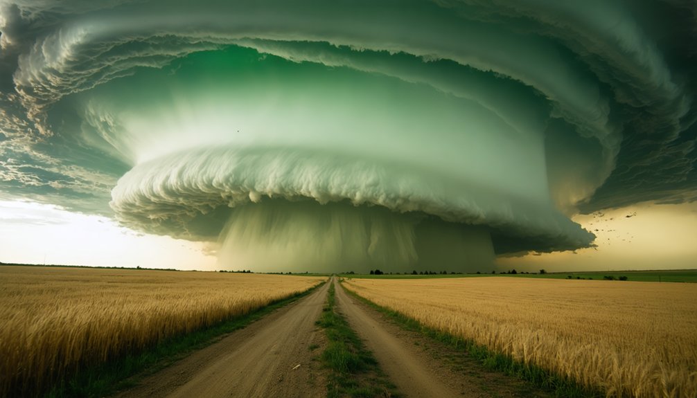
Before a tornado ever touches the ground, the atmosphere broadcasts a sequence of visual and radar signatures that experienced chasers recognize immediately. Monitor cloud patterns and wind directions constantly — they’ll telegraph danger before the funnel appears.
- A hook echo curling around the updraft on radar signals organized storm-scale rotation
- Inflow bands — ragged, low scud clouds racing southeast into the storm base — confirm strong surface convergence
- A rotating wall cloud dropping beneath the storm’s base indicates a tightening mesocyclone
- Sudden wind direction shifts at ground level reveal the storm’s inflow boundary
- A greenish sky combined with a hardening, striated updraft tower signals extreme instability overhead
React decisively when these signatures overlap — you’re watching a system that’s rapidly organizing toward tornado production.
Decode the Radar: Hook Echoes and Rotation Signatures
When you pull up radar, a hook echo — precipitation wrapping around the rotating updraft — is your clearest visual signal that a supercell is organizing toward tornado production.
You’ll want to pair that hook signature with velocity data, scanning for strong rotational couplets where inbound and outbound winds appear in tight proximity on the same scan.
These dual indicators give you a sharper, data-backed picture of whether the mesocyclone is tightening and whether tornado formation is imminent.
Understanding Hook Echo Patterns
Radar interpretation sits at the core of effective storm chasing, and the hook echo is one of the most critical signatures you’ll learn to identify. This curved precipitation pattern wraps around a supercell’s rotating updraft, revealing dangerous mesocyclone activity during storm tracking. Recognizing it early keeps you mobile and ahead of the threat.
Watch for these visual cues during cloud patterns and radar analysis:
- A distinctive “J” or fishhook-shaped return curling around the storm’s southern flank
- A clear bounded weak echo region (BWER) indicating powerful updraft strength
- Tight rotation signatures embedded within the hook’s tip
- Precipitation wrapping inward toward a nearly rain-free updraft base
- Rapid hook contraction signaling intensifying circulation and imminent tornado potential
Act on these signatures immediately — hesitation costs positioning.
Identifying Rotation Signatures
Velocity data transforms a hook echo from a shape into a story — once you pull up Doppler radar, you’re looking for the signature red-green couplet that confirms storm-scale rotation.
Tight couplets, where opposing velocities sit within a few kilometers of each other, indicate a concentrated mesocyclone. Broader separations suggest weaker, disorganized rotation.
Tornado climatology shows that the most violent events correlate with high rotational velocities exceeding 90 knots at low elevation angles.
Monitor the 0.5° tilt first, then step up through 1.3° and 1.8° to assess vertical continuity.
Atmospheric oscillations influencing the jet stream can intensify wind shear rapidly, strengthening these couplets within minutes.
Track gate-to-gate shear trends over consecutive scans — accelerating rotation means your positioning window is narrowing fast.
Radar Clues For Chasers
Hook echoes don’t just hint at danger — they confirm it, and reading them correctly separates a disciplined chaser from one reacting too late. Forget storm chasing myths about gut instinct replacing radar — data drives survival.
- A tight, curved hook wrapping counterclockwise signals a mesocyclone pulling precipitation around a rotating updraft.
- A debris ball — high reflectivity near the hook’s tip — confirms tornado debris lofted aloft, meaning a tornado is already down.
- Velocity scans showing strong gate-to-gate shear indicate intense rotation tightening near the surface.
- An inbound/outbound couplet exceeding 90 knots demands immediate repositioning.
- A collapsing hook with weakening rotation signals storm decay, shifting your risk window elsewhere.
Trust the scan cycles. They’re telling you exactly where the storm’s heading before you see it.
Field Safety Rules That Could Save Your Life in Tornado Alley
When you’re chasing in Tornado Alley, field safety isn’t optional — it’s the framework that keeps you operational. Dismiss tornado myths about vehicles offering adequate protection or overpasses providing safe refuge — both get chasers killed.
Follow storm chasing etiquette by maintaining positional discipline: never block rural roads, never crowd other crews near the meso, and always preserve escape routes to your south or east.
Positional discipline isn’t courtesy — it’s survival. Clear the road, respect the meso, and always own your escape route.
Prioritize interior shelter access before committing to a positioning decision. If a tornado closes faster than anticipated, move to the lowest interior room available, preferably below grade.
Outdoors, target low-lying ground, clear of trees and debris corridors. Never park beneath the rain core — hail, embedded rotation, and limited visibility eliminate your reaction window entirely.
Precision positioning beats proximity every time.
The Gear Every Tornado Alley Chaser Actually Needs
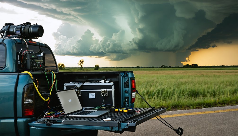
Gear selection directly affects your decision quality in the field — the right tools close information gaps; the wrong ones create them. Don’t let tornado myths fool you into underestimating preparation. Your storm chasing gear determines how fast you read evolving conditions and react.
- A dual-band radio scanning multiple weather frequencies simultaneously
- A laptop with mobile radar software displaying real-time hook echoes and rotation signatures
- A dash-mounted GPS with offline mapping for dead-zone terrain
- A calibrated anemometer measuring inflow wind shifts indicating mesocyclone development
- A hardshell case protecting electronics against golf ball-sized hail impacts
Each item closes a specific situational gap. You’re operating in dynamic, rapidly changing environments where incomplete data kills decision speed. Build your kit deliberately, not reactively.
Frequently Asked Questions
Can Tornadoes Occur Outside of Tornado Alley’s Traditional Boundaries?
Yes, you’ll find tornadoes strike well beyond Tornado Alley’s core. Tornado geography spans nationwide, including unusual tornado zones like the Southeast, Mid-Atlantic, and New England, wherever atmospheric instability, wind shear, and moisture converge.
How Do Nighttime Tornadoes Differ From Daytime Ones for Chasers?
Chasing at night’s like flying blind—you lose visual cues entirely. Nighttime visibility drops to near zero, so you’ll depend completely on radar detection to track rotation, hook echoes, and storm structure without ever seeing the funnel directly.
Are There Legal Restrictions on Where Storm Chasers Can Operate?
No federal storm chasing permits exist, but you must respect restricted zones like active emergency scenes, closed roads, and private property. Local authorities can legally bar your access during active disaster responses.
How Does Climate Change Affect Tornado Frequency and Intensity Over Time?
Ah, nature’s chaos, conveniently politicized! Climate patterns shift weather variability, but you’ll find tornado frequency and intensity data remain inconclusive. Current research doesn’t confirm clear trends—you’re chasing storms shaped by complex, poorly understood atmospheric interactions, not settled climate narratives.
Do Tornadoes Follow Predictable Paths, or Can They Shift Direction Unexpectedly?
Tornadoes don’t follow predictable paths—you’ll encounter significant tornado path variability. They can make unexpected direction shifts due to mesocyclone dynamics, storm interactions, and wind shear changes. Always maintain escape routes; never lock yourself into a single repositioning plan.
References
- https://en.wikipedia.org/wiki/Tornado_Alley
- https://www.accuweather.com/en/weather-news/what-is-tornado-alley-2/432271
- https://www.nationalgeographic.com/environment/article/tornado-alley-shift-east
- https://www.nssl.noaa.gov/education/svrwx101/tornadoes/
- https://www.youtube.com/watch?v=Hq6TE2DoLE0
- https://fr.wikipedia.org/wiki/Tornado_Alley
- https://www.facebook.com/groups/172446806261472/posts/3320251128147675/
- https://www.youtube.com/watch?v=gyxgpoM7NYg
- https://www.farmersalmanac.com/tornado-alley
- https://science.howstuffworks.com/nature/climate-weather/storms/tornado-alley.htm