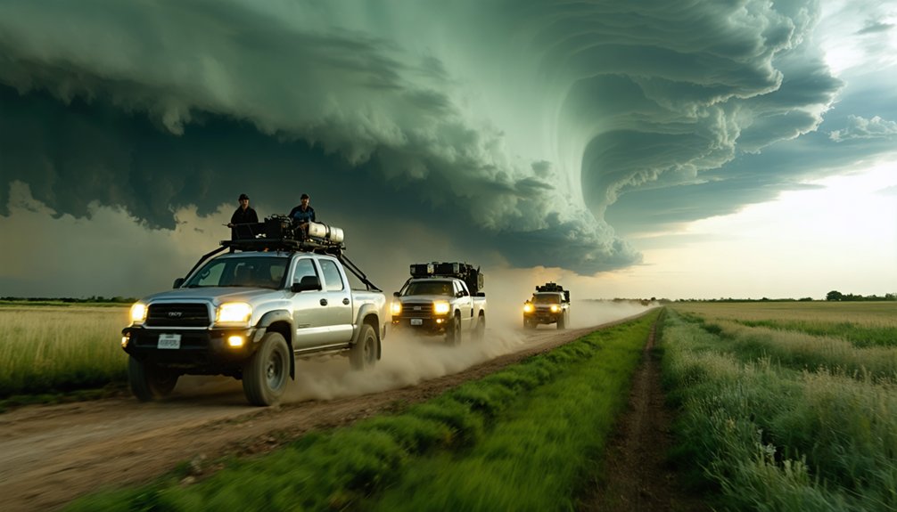
When chasing storms globally, you’ll want to target regions where atmospheric conditions, seasonal timing, and logistical access align. Tornado Alley peaks in late spring, Canada’s Prairies run June–July, Argentina’s Pampas fires up November–December, and India’s monsoon dominates June–September. Australia delivers raw cyclonic intensity in summer, while Europe’s underrated supercells emerge in late spring. Climate shifts are actively reshaping these corridors. Each destination demands specific preparation, and the differences between them are critical to know.
Key Takeaways
- Tornado Alley, spanning Texas to South Dakota, is the world’s premier storm chasing destination, peaking during spring and early summer.
- Canada’s Prairie Provinces offer prolific supercell activity, with over 100 significant hail days annually, peaking June through July.
- Argentina’s Pampas delivers dramatic supercells with thousands of lightning strikes per storm, best chased November through December.
- Australia’s Outback features rapidly developing cyclones, dust storms, and desert flash floods, intensifying during summer months.
- Europe is an underrated severe weather destination, producing supercells with large hail and mesocyclone-driven tornadoes during late spring and summer.
How to Choose the Best Storm Chasing Destination
Choosing the right storm chasing destination comes down to three core variables: weather phenomenon type, seasonal timing, and logistical feasibility. You’ll need to cross-reference atmospheric data, regional infrastructure, and active weather patterns before committing to any location.
Three variables define your storm chasing destination: phenomenon type, seasonal timing, and logistical feasibility.
Climate change is reshaping traditional storm corridors, intensifying events and shifting seasonal windows unpredictably. Urban flooding now emerges as a secondary hazard you must factor into route planning, particularly in densely populated chase zones.
Prioritize destinations matching your target phenomenon. Tornadoes dominate the Great Plains during spring. Cyclones peak in Australia’s summer. Argentina’s Pampas activates during its spring-summer window.
Each region demands specific gear, timing precision, and contingency routing. Cross-check historical storm frequency data against current forecasts to maximize your probability of intercepting high-impact weather events efficiently.
Storm Chasing in Tornado Alley: The World’s Top Hotspot
Once you’ve locked in your target phenomenon and seasonal window, no destination competes with Tornado Alley for sheer tornado frequency and accessibility. Spanning Texas, Oklahoma, Kansas, Nebraska, South Dakota, and Iowa, this corridor delivers peak activity during spring and early summer.
You’ll find the region’s urban infrastructure advantageous—major highways grid the Plains, enabling rapid repositioning as storm cells evolve. Oklahoma City and Denver serve as primary launch points for operators like Ultimate Storm Chasing Tours and Tornadic Expeditions, minimizing logistical friction.
Climate adaptation has shaped local communities to coexist with severe weather, meaning road networks and emergency systems remain functional during active chase days. You’re operating in a region purpose-built for rapid, data-driven pursuit—maximizing your probability of intercepting a confirmed tornado within any given expedition window.
Canada’s Prairie Provinces: Supercells, Hail, and Big Sky Storms
When you chase storms in Alberta, Saskatchewan, and Manitoba, you’ll encounter powerful supercell thunderstorms characterized by rotating updrafts, mesocyclones, and wall clouds rivaling those found in the U.S. Great Plains.
Canada’s prairie provinces produce intense hailstorms with high frequency, and you can expect hailstones exceeding golf ball size within mature supercell systems.
You’ll find your prime chasing window runs through late spring and early summer, when atmospheric instability peaks across the region’s vast, open terrain.
Supercell Thunderstorm Characteristics
Canada’s prairie provinces—Alberta, Saskatchewan, and Manitoba—rank among North America’s most prolific supercell environments, extending Tornado Alley’s storm corridor well north of the U.S. border.
When you’re chasing here, you’ll encounter defining supercell characteristics that demand your full attention:
- Rotating updrafts exceed 100 mph, driving the mesocyclone’s persistent spin
- Cloud formation produces classic wall clouds, mammatus structures, and dramatic anvil tops
- Lightning patterns display continuous intracloud and cloud-to-ground strikes at extraordinary frequency
- Hailstone production regularly generates stones exceeding baseball-sized diameter
These systems draw energy from sharp dryline boundaries meeting Gulf moisture surges.
You’re operating in an environment where storms persist for hours, tracking northeast across open terrain—giving you unobstructed sightlines and genuine operational freedom rare in more densely populated regions.
Hailstorm Intensity And Frequency
Alberta alone logs over 100 significant hail days annually, making Canada’s prairie provinces one of the world’s most active hailstorm corridors. Saskatchewan and Manitoba compound this frequency, delivering hailstones that routinely exceed golf ball diameter at impact velocities surpassing 100 mph.
You’ll encounter hail damage that strips crops, shatters vehicle glass, and strips roofing materials within minutes. Supercell structures here generate updrafts exceeding 100 mph, suspending ice aggregates through multiple growth cycles before release.
Evaluating storm aftermath reveals layered ice accumulation depths reaching several inches across open terrain. You’re operating in a corridor where storm cells intensify rapidly due to flat topography and unobstructed wind shear profiles.
Tracking these systems demands precise radar interpretation and real-time atmospheric data to position yourself safely within observation range.
Prime Chasing Season Timing
Prime chasing season across Canada’s prairie provinces compresses into a narrow but explosive window spanning late May through early August, with peak supercell activity concentrating in June and July.
Historical storm patterns confirm Alberta, Saskatchewan, and Manitoba deliver their most intense convective setups during this corridor. Weather prediction models become your tactical advantage here.
Prioritize these timing benchmarks:
- Late May – season initiation, isolated supercells emerge across southern Alberta
- June – peak hail frequency, maximum instability across Saskatchewan
- July – highest supercell density, Manitoba corridors activate
- Early August – declining activity, still productive but rapidly tapering
You’re operating within roughly 10 weeks of genuine opportunity. Every forecast cycle matters, so monitor model runs obsessively and stay mobile.
Argentina’s Pampas: Storm Chasing During South America’s Spring
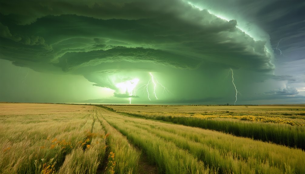
When you plan a storm chasing trip to Argentina’s Pampas, you’ll want to target spring and summer months, when atmospheric instability peaks and severe thunderstorm activity intensifies across the region.
You’ll encounter dramatic supercells, intense lightning barrages, and large hail events that rival anything you’d witness in North America’s Tornado Alley.
Traveling through the Pampas requires preparation for remote terrain, where vast open grasslands demand that you maintain reliable communication equipment and carry sufficient fuel for extended drives between storm intercepts.
Pampas Storm Season Timing
Argentina’s Pampas region transforms into one of South America’s most active storm chasing destinations during spring and summer, roughly September through February in the Southern Hemisphere. You’ll encounter explosive cloud formation and dramatic lightning patterns that rival anything Tornado Alley produces.
Plan your expedition around these critical timing windows:
- September–October: Early-season storms develop as temperatures rise and atmospheric instability builds.
- November–December: Peak convective activity delivers the most intense supercells and lightning patterns.
- January: Maximum heat drives aggressive cloud formation, producing severe hail events.
- February: Season winds down, though powerful storm systems remain possible.
You’re operating in a region with minimal infrastructure, so self-sufficiency and precise meteorological data interpretation aren’t optional—they’re essential for survival and success.
Unique Weather Phenomena Observed
Once you’ve locked in your timing windows, the Pampas delivers a concentrated suite of weather phenomena that sets it apart from other global storm chasing destinations. You’ll encounter supercell thunderstorms producing towering cumulonimbus structures with cloud formations that rival anything documented across Tornado Alley.
These systems generate high-frequency lightning patterns, often discharging thousands of strikes per storm cycle, giving you exceptional photographic and scientific data opportunities. Hail events here reach destructive diameters, and tornado development occurs within discrete mesocyclone structures.
Unlike constrained chasing corridors elsewhere, the open Pampas terrain lets you reposition freely, maximizing intercept angles. Wind shear profiles during spring and summer create textbook rotating updrafts, making each chase statistically productive.
You’re operating in one of Earth’s most underutilized severe weather laboratories.
Navigating Argentina’s Remote Terrain
Charting the Pampas demands route planning built around unpaved provincial roads, cattle tracks, and sparse fuel infrastructure across Buenos Aires, Santa Fe, and Córdoba provinces.
Spring activates intense convective systems, driven partly by oceanic turbulence from Atlantic moisture colliding with glacial formations pushing cold air northward from Patagonia.
Prioritize these four operational essentials:
- Fuel reserves — carry minimum 20 extra liters; stations exceed 100km gaps regularly
- Navigation tools — offline GPS maps are non-negotiable across remote terrain
- Timing windows — peak storm activity concentrates between October and December
- Communication gear — satellite messengers replace unreliable cellular networks outside major corridors
You’re operating independently here. Freedom comes with responsibility — preparation determines whether you witness supercells or miss them entirely.
Australia’s Outback: Cyclones, Dust Storms, and Remote Terrain
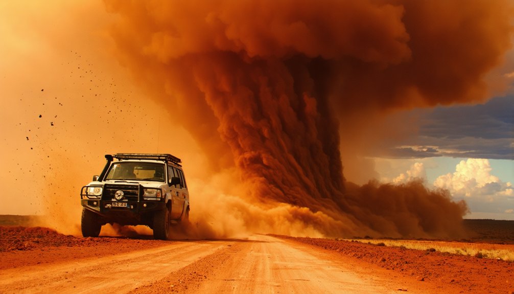
Australia’s Outback delivers some of the planet’s most punishing storm environments, spanning Queensland, the Northern Territory, and Western Australia across an extraordinarily remote and vast terrain. You’re steering through landscapes where cyclones develop rapidly, dust storms reduce visibility to near zero, and desert flash floods transform dry riverbeds into dangerous torrents within minutes.
Cyclones, dust storms, flash floods — Australia’s Outback doesn’t warn you. It simply unleashes.
Coastal fog compounds navigation challenges along Western Australia’s coastline, requiring precise situational awareness before you deploy.
During Australia’s summer season, severe weather intensifies considerably, demanding rigorous preparation. You’ll cover vast distances between storm targets, so redundant navigation systems and substantial fuel reserves aren’t optional — they’re critical.
Australia’s Outback rewards chasers who embrace operational discipline, delivering raw, unfiltered severe weather events that few other global regions can match in both intensity and isolation.
Europe’s Storm Chasing Scene: Supercells the World Overlooks
Shifting focus from the Southern Hemisphere’s raw isolation, Europe’s storm chasing scene operates as a genuinely underrated theater for severe convective weather. Historical weather records confirm supercells striking the UK, France, and Germany annually, and climate change is intensifying their frequency and strength.
You’ll find Europe’s prime chase windows during late spring and summer. Here’s what you’re targeting:
- Supercells producing large hail and violent wind shear
- Mesocyclone-driven tornadoes, rarer but statistically documented
- Intense lightning barrages embedded within organized convective systems
- Rapidly developing cumulonimbus towers reaching tropopause altitudes
Europe demands precision navigation across dense infrastructure and variable terrain. You’re operating within tighter logistical constraints than the open Great Plains, but the meteorological reward matches the challenge. Don’t overlook this continent.
Monsoon Storm Chasing in India: Assam and the Kerala Coast
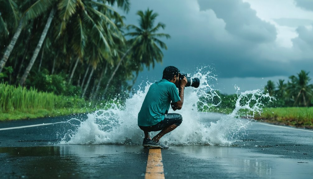
India’s monsoon systems deliver some of the most meteorologically intense weather events on the planet, and Assam alongside the Kerala coast stand as the two primary targets for chasers pursuing this phenomenon. Monsoon patterns in Assam generate extreme precipitation events, with annual rainfall exceeding 2,500mm and sustained convective activity producing dramatic lightning barrages.
You’ll track rapidly developing cumulonimbus formations pushing skyward past 50,000 feet in measurable atmospheric instability. Regional monsoon effects differ sharply between locations—Assam’s northeastern corridor channels Bay of Bengal moisture, amplifying storm intensity, while Kerala’s western coastline intercepts Arabian Sea currents first.
You need precise timing, deploying between June and September when both systems peak. Independent movement matters here; restrictive tour structures limit your access to ideal positioning during rapidly shifting storm windows.
When to Chase Storms in Each Region
Timing your chase to each region’s meteorological calendar separates productive expeditions from wasted drives.
Historical storm patterns and weather prediction models reveal ideal windows for each zone:
- Great Plains (USA): Target spring through early summer; tornado frequency peaks during May, aligning with Jason Weingart’s available tour spots.
- Australia’s Outback: Chase during Australian summer when cyclones and severe thunderstorms intensify across Queensland and the Northern Territory.
- Argentina’s Pampas: Spring and summer activate the region’s most explosive supercell activity.
- Canada’s Prairie Provinces: Late spring delivers powerful supercells and significant hailstorms across Alberta, Saskatchewan, and Manitoba.
You’ll maximize storm encounters by cross-referencing historical storm patterns against live weather prediction models before committing to any departure point.
Top Storm Chasing Tours to Book Right Now
Three operators dominate the commercial storm chasing market, each offering distinct logistical frameworks worth evaluating before you commit your deposit.
Tempest Tours, based in Arlington, runs single-day tours with immediate booking availability.
Tornadic Expeditions stages from Oklahoma City or Denver depending on seasonal historical storm data, and occasionally posts last-minute Facebook discounts worth several hundred dollars.
Ultimate Storm Chasing Tours, led by PBS-featured Brian Barnes, also launches from Oklahoma City and Denver during peak tornado season.
Before booking, verify each operator’s storm chasing gear standards, including vehicle reinforcement, communication systems, and safety protocols.
Jason Weingart has open May slots if spring timing aligns with your schedule.
Each operator targets Tornado Alley’s prime corridor, so your departure point and preferred chase window should drive your final selection.
Frequently Asked Questions
What Camera Equipment Do Professional Storm Chasers Typically Recommend for Beginners?
“Practice makes perfect” — start your storm chasing gear with a DSLR camera, 70-200mm lens, and weatherproof housing. You’ll need safety precautions like surge protectors and backup batteries to capture nature’s fury reliably.
How Physically Demanding Is Participating in a Multi-Day Storm Chasing Expedition?
You’ll face intense physical demands—long drives covering thousands of miles, irregular sleep, and rapid deployments. Your storm chasing gear must stay accessible, and you’ll follow strict safety protocols to sustain peak performance throughout multi-day expeditions.
What Insurance Coverage Do Storm Chasers Need Before Joining an Expedition?
Before joining an expedition, you’ll need insurance policies covering emergency evacuation, medical liability, and equipment damage. Conduct a thorough risk assessment to guarantee you’re protected against storm-related injuries, vehicle accidents, and unpredictable severe weather scenarios.
Are There Age Restrictions for Joining Commercial Storm Chasing Tours Globally?
Want storm safety guaranteed? Most commercial tours require you’re at least 18, though some allow minors with guardians. You’ll need weather forecasting literacy, as operators assess participant readiness before granting expedition access globally.
How Do Storm Chasers Communicate With Local Emergency Services During Active Chases?
You’ll use storm warning systems and emergency communication protocols, including radio frequencies, GPS tracking, and direct coordination with National Weather Service. You’re actively transmitting real-time storm data, ensuring local emergency services receive precise, actionable intelligence during chases.
References
- https://www.reddit.com/r/stormchasing/comments/1hntxlv/2025_storm_chasing_tour_recommendations/
- https://en.wikipedia.org/wiki/Storm_chasing
- https://collectiveweather.com/storm-chasing-destinations-around-the-world-exploring-natures-fury/
- https://www.stormtours.com/