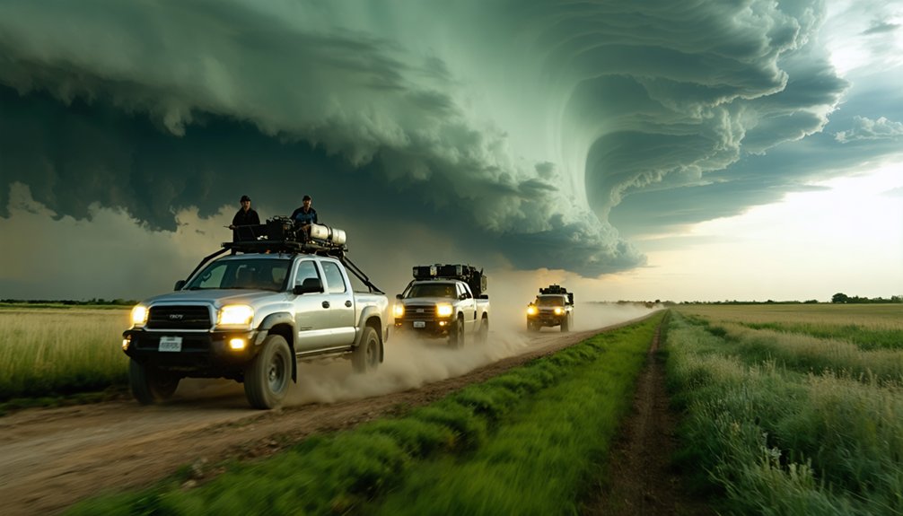
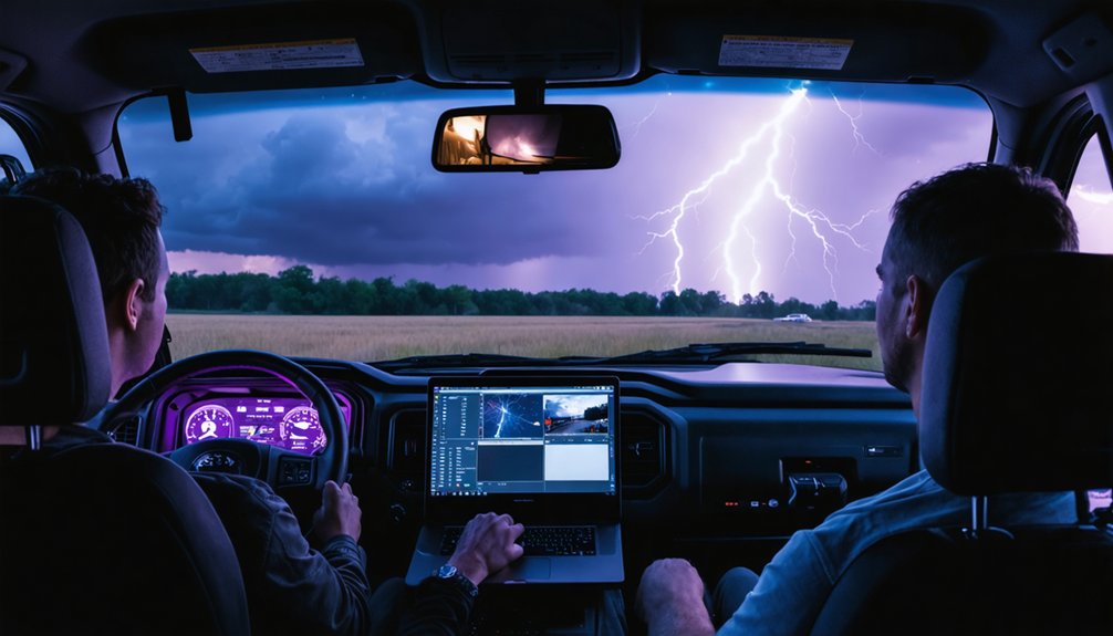
Your chase log becomes your most reliable field tool when you treat it as a live data record, not an afterthought. Log timestamps and GPS coordinates for every key observation, sync all device clocks before departure, and keep hazard entries in a dedicated section. Use voice notes to capture rapid storm changes without breaking focus. Preserve GPS metadata through every backup and transfer. The tips ahead cover exactly how to build that precision into every chase.
Key Takeaways
- Pre-load exit routes, synchronize device clocks, and verify GPS metadata before departure to ensure accurate, reliable chase documentation.
- Log exact timestamps and GPS coordinates for every key observation, including wall clouds, funnels, and hail events.
- Use voice memos to capture real-time storm details, calling out timestamps and GPS references before describing features.
- Keep hazard entries in a separate log section, documenting locations, response actions, and timestamps for rapid emergency access.
- Back up all media immediately post-chase, preserving EXIF data and geotags through transfers to maintain data integrity.
What Makes a Chase Log Your Most Reliable Field Tool
Because memory degrades fast under high-stress conditions, a chase log gives you a reliable, timestamped record that your recall simply can’t match. When you’re tracking rapid storm dynamics, every second of missing data weakens your post-chase analysis and reporting accuracy.
A structured log captures GPS coordinates, compass direction, and real-time route decisions that raw memory can’t reconstruct reliably. You’re documenting evolving weather patterns against forecast models, surface observations, and radar context simultaneously—your brain can’t archive that volume accurately under pressure.
Voice notes, geotagged media, and synchronized device times eliminate guesswork during review. Every repositioning choice, hazard encountered, and structural storm change becomes a verifiable data point. That precision transforms your chase log from simple field notes into a credible, actionable scientific record.
Build Your Chase Log Before You Leave for the Target Area
That reliable field record starts before you ever pull out of the driveway. Log your target area, anticipated weather pattern, and model reasoning before departure. Note the outlook parameters, storm evolution expectations, and the convective timing window so your observations have structured context throughout the day.
A reliable field record begins before departure — log your target area, forecast reasoning, and convective timing window first.
Pre-load your escape routes with at least two exit options per intercept zone. Write them down — don’t rely on memory under pressure. Synchronize timestamps across every device, confirm GPS metadata is active on cameras, and verify storage capacity before leaving.
Your pre-chase log entry should include surface analysis notes, forecast sounding data, and the primary storm mode you’re targeting.
This front-loaded structure lets you document deviations in real time without scrambling to reconstruct baseline conditions after the chase ends.
Record Time and GPS Coordinates for Every Key Observation
Every major observation needs an exact timestamp and GPS coordinate logged the moment it happens — not reconstructed from memory five minutes later. Accurate time and location data let you reconstruct storm structure precisely and validate your positioning against radar.
Data synchronization across all devices before departure keeps your records clean and reliable.
- A wall cloud drops suddenly — you log 14:32:07, coordinates, and compass bearing instantly
- Hail begins hammering your hood — you note the road intersection and exact time before it intensifies
- A funnel emerges from the base — your GPS metadata stamps the video automatically
- You reposition east — your log captures the turn time, new coordinates, and storm behavior that forced the move
How to Log Wall Clouds, Funnels, and Rapid Storm Changes
Timestamping your coordinates is only half the work — what you record at each timestamp determines whether your log is actually useful. For wall cloud identification, note the precise onset time, rotation rate, lowering depth, and compass bearing from your position. Don’t just write “wall cloud present” — document whether it’s tightening, fragmenting, or lifting.
Funnel evolution tracking demands the same discipline. Log each stage: condensation funnel appearance, ground contact, rope-out, and dissipation, each with its own timestamp and bearing.
Rapid storm changes require real-time entries, not reconstructed guesses. Use voice notes while driving to capture inflow surges, RFD clearing, and precipitation wrapping. Tag hazard markers clearly so post-chase review isolates critical transitions without sifting through general observations.
Precision here directly improves your storm documentation‘s scientific and operational value.
Use Voice Notes to Capture Details You’ll Forget While Driving
While your hands stay on the wheel and your eyes track storm structure, your voice becomes your most efficient logging tool. Audio annotations eliminate the gap between observation and record, preserving precise details before memory degrades.
Apply these voice memo tips to maximize accuracy:
- Call out timestamps first — say the exact time before describing any feature
- State your GPS reference — name the road intersection or landmark immediately
- Describe direction and distance — “wall cloud, southwest, two miles, rotating counterclockwise”
- Log hazard shifts — announce hail onset, visibility drops, or funnel changes the moment they occur
Real-time audio annotations keep your log honest, your data clean, and your freedom of movement unrestricted.
Document Route Decisions and Repositioning Calls in Real Time
When you change routes, log it immediately—include the road name, timestamp, and the storm behavior that triggered the decision.
Don’t rely on memory to reconstruct repositioning calls later, because post-chase recall degrades quickly and strips your log of actionable data.
Capturing your live reasoning, whether the storm accelerated, shifted mode, or cut off your angle, ties each driving decision directly to observable storm behavior.
Log Route Changes Immediately
Every repositioning call you make during a chase carries operational weight, so you’ll want to log it the moment it happens—not after you’ve parked or wrapped up for the day. Real-time logging ties your route optimization decisions directly to storm motion, giving you a precise record you can reconstruct later.
- Note the exact timestamp, road name, and direction of travel when you deviate from your original intercept path.
- Record what prompted the shift—a forward flank dodge, a blocked road, or a new updraft target.
- Mark your new vantage coordinates alongside the triggering storm feature you observed.
- Flag any escape-route changes immediately so your safety margins stay documented and actionable.
Delayed entries introduce memory gaps that corrupt your data’s reliability.
Record Repositioning Reasoning Live
Capturing your repositioning reasoning live—not reconstructed from memory—keeps your chase log causally coherent. When storm motion shifts unexpectedly, your repositioning strategy needs immediate documentation: what you observed, what the radar showed, and why you moved.
Dictate your decision trigger into a voice recorder while executing the turn. Include the timestamp, road name, and the specific visual or data cue that forced the call—whether a wall cloud occlusion, a blocked escape route, or an accelerating forward speed.
This approach lets you reconstruct whether your timing was correct relative to the storm’s actual track. It also separates reactive decisions from planned repositioning, which strengthens post-chase analysis considerably.
Freedom to move fast depends on logging fast—your notes should match the pace of the storm.
What Chase Log GPS Tags and File Metadata Should You Preserve?
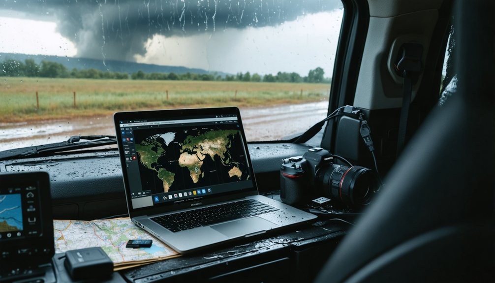
When you log GPS coordinates, capture exact latitude, longitude, and timestamp to the nearest second for every significant observation, stop, and route change.
You should also preserve the GPS metadata embedded in your image and video files, keeping that data intact through editing, transfers, and backups.
Sync all device clocks before the chase begins so your coordinates, camera files, and data logger records align into a single accurate timeline.
GPS Coordinate Logging Essentials
GPS coordinate logging ties your visual observations directly to a recoverable spatial record, so you’ll want to preserve several layers of data across both your written log and your media files.
Geotagged photos lock storm structure details to exact positions, letting you reconstruct viewing angles and distances later.
- Log stop coordinates with road intersections so repositioning decisions map cleanly to observed storm behavior
- Preserve GPS metadata embedded in image and video files to retain spatial context without manual entry
- Record coordinates alongside lightning patterns so strike locations correlate with your position and radar data
- Sync device clocks before the chase so timestamps across your phone, camera, and data logger align precisely
Treat every coordinate as irreplaceable field data, because post-chase analysis depends entirely on what you captured in real time.
Preserving File Metadata Accurately
Every media file you capture on a chase day carries embedded metadata that’s just as recoverable—and just as losable—as the image itself, so preserving it deliberately is non-negotiable.
Digital timestamping across all devices must be synchronized before you deploy, because mismatched clocks corrupt your chronological record and undermine post-chase analysis.
Enable GPS tagging on every camera and phone you’re running. Preserve EXIF data, geotags, and original file timestamps through every transfer and backup cycle.
Metadata preservation fails most often during file conversion, cloud uploads, or sloppy copy-paste transfers that strip embedded fields.
Back up raw, unmodified files to external drives and cloud storage immediately after each chase. Never overwrite originals.
Your GPS coordinates, capture times, and device identifiers are irreplaceable forensic data points that validate every observation your log contains.
Give Safety Hazards Their Own Dedicated Chase Log Section
Keeping safety hazards in their own dedicated section of your chase log separates critical risk data from general storm observations, making it faster to reference under pressure.
Effective hazard documentation strengthens your weather safety decisions when conditions shift fast.
- Standing water crossing a rural road at 17:42, depth unknown, logged with GPS coordinates
- Hail-covered pavement at the intersection of County Road 15 and Highway 83, vehicle sliding noted
- Visibility dropping below 200 feet in rain-wrapped circulation, timestamp 18:09
- Escape route blocked by downed power line, alternate south exit selected immediately
Log each hazard with an exact timestamp, location, and your response.
Keeping these entries isolated from storm-structure notes means you’re not scanning through wall cloud descriptions when you need critical road data fast.
How to Review and Organize Your Chase Log After the Storm
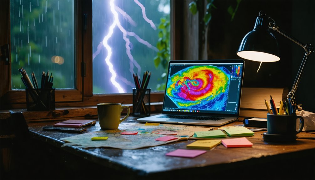
Once you’ve documented hazards and storm observations in real time, the post-chase review is where raw field notes become a structured, usable record. Organize your log chronologically, tying each driving decision to specific storm pattern changes you observed.
Separate hazard markers—hail onset, funnel appearance, debris lofting—into clearly labeled sections so critical moments are immediately retrievable.
Back up all media, GPS metadata, and instrument data promptly before file corruption or device loss becomes a risk. Sync timestamps across cameras, phones, and data loggers to eliminate timeline gaps.
Data visualization tools can then map your route against radar archives, surface observations, and model output, revealing how accurately your positioning matched storm evolution. This structured approach transforms scattered field notes into a precise, reviewable record you can reference independently.
Chase Log Mistakes That Silently Undermine Your Field Accuracy
Two logging mistakes quietly corrupt your field data more than almost any other error: inconsistent time stamps and missing GPS coordinates.
When you skip exact times or estimate them from memory, you break the chronological chain that ties storm behavior to your positioning and route decisions.
Sync your devices before the chase begins, log coordinates at every significant stop, and treat incomplete location data as the accuracy gap it truly is.
Inconsistent Time Logging
Time gaps in your chase log can corrupt the entire sequence of a storm event. Without time synchronization across your devices, a wall cloud entry on your camera and a GPS coordinate stamp on your phone can drift minutes apart, destroying coordinate accuracy during post-chase reconstruction.
- A timestamp logged three minutes late turns a tornado’s first appearance into an unverifiable claim.
- Unsynchronized cameras create ghost events that don’t match radar signatures.
- Missing time entries leave repositioning decisions disconnected from storm behavior.
- Drifted device clocks make hail onset reports untrustworthy for official documentation.
Sync every device before you leave your staging point. Log timestamps to the second during active storm intercepts. Your log’s value depends entirely on the precision of its time record.
Missing GPS Coordinates
Broken timestamps corrupt your log’s timeline, but missing GPS coordinates hollow out its geography just as fast. Without precise coordinate mapping, you can’t reconstruct where you stood, what angle you observed from, or how your position related to the storm’s track. GPS accuracy degrades your entire log when it’s absent or inconsistent.
Log coordinates at every significant observation point—not just when you stop, but when storm structure changes, hazards appear, or you reposition. Use geotagged media files as a secondary record, and cross-reference them against your written notes. If your camera doesn’t embed GPS metadata, note road intersections manually.
Two coordinate sources beat one. Don’t let a gap in location data turn a well-documented chase into an unverifiable account that serves no scientific or personal review purpose.
Frequently Asked Questions
How Do I Share My Chase Log Data With Official Weather Agencies?
Submit your chase log to the NWS via their online storm report portal. You’ll improve historical weather records and data accuracy by including GPS coordinates, timestamps, hazard observations, and media files when uploading your documentation.
Can Chase Logs Be Used as Legal Documentation After Storm Damage Occurs?
✅ Theory Confirmed: Timestamped logs = legally defensible records.
Yes, your chase logs can serve as legal validity evidence. Your precise evidence documentation—GPS coordinates, timestamps, and hazard notes—supports insurance claims, litigation, and official damage assessments effectively.
What Software Programs Are Best for Digitizing Handwritten Chase Logs?
You’ll get strong results using Notability, OneNote, or Google Keep for digital note taking. Each app’s handwriting recognition converts your field scrawls into searchable, timestamped data you can sync, backup, and access anywhere instantly.
How Long Should Storm Chasers Retain Their Chase Logs After Each Season?
Chase logs are your lifeline to history—retain them indefinitely. You’ll protect valuable historical weather data while respecting data privacy standards. Back them up annually across multiple storage systems to guarantee you never lose irreplaceable observational records.
Should Chase Logs Be Shared With Other Chasers Operating in the Same Area?
Yes, you should share chase logs with nearby chasers to enhance weather safety and coordination. Sync your equipment maintenance schedules, exchange GPS data, and relay real-time hazard observations so everyone’s operating with accurate, current field intelligence.
References
- https://www.reddit.com/r/stormchasing/comments/1boanfg/how_do_i_get_started_storm_chasing/
- https://www.youtube.com/watch?v=6otZLjSZvPU&vl=en
- https://stormtrack.org/threads/the-disparate-nature-of-storm-chasing-knowledge-how-do-we-fix.30976/
- https://www.stormtours.com/information/must-bring-items/
- https://www.wiu.edu/SevereWeather/images/presentations/How_to_Effectively_Storm_Chase.pdf
- https://el-reno-survey.net/category/findings/
- https://www.youtube.com/watch?v=nxPSFg2R8YY
- https://www.flame.org/~cdoswell/chasesums/Chase_safety.html
- https://crazystormchasers.com/capturing-storms-a-researchers-guide/