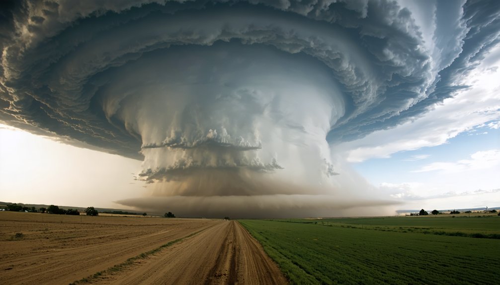
To adapt to climate change, you’ll need to update your climatological data regularly using NOAA datasets and SPC climatology maps. Shift to dual-polarization radar and high-refresh-rate feeds for sharper situational awareness. Master skew-T diagrams and hodographs to catch rapid intensification early. Pre-plan escape routes accounting for faster storm motion and flash flood risks. Manage decision fatigue by distributing roles and setting hard turnaround thresholds. Each strategy covered ahead goes deeper into keeping you safer and more effective.
Key Takeaways
- Consult updated NOAA datasets and SPC climatology maps regularly to account for shifting storm corridors into new regions.
- Recognize that storms now intensify faster, requiring quicker decision-making and pre-planned escape routes with multiple options.
- Use high-resolution dual-polarization radar and real-time high-refresh feeds for improved tracking of unpredictable storm trajectories.
- Read skew-T diagrams and hodographs daily to anticipate rapid storm intensification driven by changing atmospheric conditions.
- Adopt fuel-efficient or electric vehicles and map charging stations strategically to extend operational range across expanding storm corridors.
Why Climate Change Is Rewriting the Storm Chaser Rulebook
As climate change accelerates, storm chasers face a fundamentally altered threat landscape that’s forcing a complete overhaul of established protocols. Storm intensity and frequency have increased dramatically, rendering traditional weather forecasting models inadequate. You can’t rely on yesterday’s playbook when atmospheric conditions are shifting unpredictably.
Climate resilience isn’t optional anymore — it’s your operational foundation. Storms now develop faster, shift trajectories unexpectedly, and produce stronger winds than historical data predicted. Your safety protocols must evolve accordingly.
Advanced satellite systems, high-resolution radar, and AI-driven decision tools aren’t luxury upgrades — they’re essential survival equipment. You’re operating in an environment where a miscalculation carries higher consequences than ever before.
Adapting your methodology to match this new reality isn’t just smart strategy; it’s survival.
Identify Shifting Storm Corridors Using Updated Climatological Data
Storm corridors that defined chasing hotspots for decades are now shifting northward and eastward as climate patterns reorganize. You can’t rely on traditional Tornado Alley boundaries anymore. Climatological trends confirm that significant severe weather activity is expanding into the Ohio Valley, Tennessee Valley, and Great Lakes regions.
To stay ahead, you’ll need to consult updated climatological datasets from NOAA and cross-reference them against current seasonal outlooks. Download the latest SPC climatology maps and compare historical corridor data against emerging pattern shifts.
Analyze multi-decade tornado occurrence databases to pinpoint where shifting corridors are concentrating new activity.
Integrating this data into your pre-season planning lets you reposition resources strategically, maximizing intercept opportunities while operating efficiently across a broader, more dynamic geographic range.
Upgrade Your Radar and Satellite Tools for Wilder Weather
Weather patterns are growing wilder, and your legacy radar setup won’t cut it anymore. Upgrade to high-resolution dual-polarization radar to capture rapidly shifting storm trajectories with precision. You’ll need real-time data, not delayed snapshots, so invest in systems that deliver continuous, high-refresh-rate feeds.
Satellite calibration is non-negotiable now. Miscalibrated sensors introduce tracking errors that compound quickly when storms behave unpredictably. Verify your satellite systems regularly against known benchmarks to maintain data integrity.
For storm tracking, integrate machine learning platforms that process multi-source data streams simultaneously. These tools identify subtle atmospheric shifts faster than manual analysis allows.
Download Radarscope and master reflectivity, velocity, and correlation coefficient layers. Your equipment isn’t just gear—it’s your decision-making infrastructure. Upgrade it, or accept unnecessary risk in the field.
Deploy AI Tools to Anticipate Rapid Storm Intensification
Rapid storm intensification can outpace human reaction times, but AI tools close that gap by processing multi-source atmospheric data in real time. You’ll gain a critical edge by integrating predictive modeling platforms that analyze pressure gradients, wind shear, and moisture flux simultaneously. These systems flag intensification signatures minutes before traditional methods detect them.
Pair predictive modeling with advanced data visualization dashboards to interpret complex atmospheric shifts instantly. You can track rotational velocity changes, mesocyclone development, and updraft strength through dynamic, color-coded overlays. That visual clarity accelerates your decision-making when conditions deteriorate fast.
Deploy AI-driven apps like Echo Tops or integrate machine learning APIs into your existing radar workflow. You’ll intercept storms more precisely, maintain safer positioning, and preserve your freedom to operate independently in rapidly evolving severe weather environments.
Read Skew-T Charts and Hodographs Before Conditions Turn Extreme
Before you position yourself near a developing storm, skew-T log-P diagrams and hodographs give you a critical thermodynamic and kinematic baseline.
Skew T analysis reveals atmospheric instability through CAPE values, lapse rates, and moisture depth, letting you identify explosive convective potential before it materializes. High CAPE combined with a sharp cap signals volatile conditions that can rapidly intensify.
Hodograph interpretation exposes wind shear structure and storm motion vectors. A curved, elongated hodograph indicates strong rotational potential, warning you that supercell development is likely.
You can calculate storm-relative helicity directly from the hodograph, quantifying tornadic risk before you’ve left the staging area.
Review both tools alongside SPC outlooks each morning. Don’t wait until radar paints a threatening picture—these charts give you the decisive edge when conditions accelerate unpredictably.
As storm patterns grow increasingly unpredictable, you’ll need collaborative platforms that let meteorologists and field chasers exchange radar data, GPS positions, and storm-relative observations in real time.
Upload your reflectivity readings, velocity data, and structural storm updates directly to shared networks, ensuring your team has the most current intelligence before conditions deteriorate.
Strong field communication protocols reduce decision-making lag, letting your network respond faster to rapidly evolving threats.
Collaborative Data Sharing Platforms
Collaborative data sharing platforms have transformed how storm chasers coordinate in the field, enabling you to push real-time GPS positions, radar overlays, and storm reports directly to your network within seconds.
Tools like SpotterNetwork and Synoptic Data aggregate crowdsourced observations, letting you cross-reference multiple data streams simultaneously.
Prioritize platforms with robust data encryption to safeguard your transmissions from interception or corruption during critical operations.
Cloud storage solutions ensure your logged storm data remains accessible across devices, even when you’re switching vehicles mid-chase.
You’ll want platforms that support API integrations, allowing seamless connections between your radar software, dashcams, and meteorological instruments.
When your entire field network operates on synchronized, real-time data, you collectively sharpen situational awareness and make faster, more informed decisions during rapidly evolving severe weather events.
Real-Time Field Communication
Real-time field communication demands that you transmit storm position updates, damage reports, and radar-confirmed rotation data to your network the moment conditions shift. You’ll strengthen storm safety by broadcasting precise GPS coordinates, wind speed measurements, and hail size reports through dedicated communication platforms. Don’t delay transmissions—delayed data compromises weather forecasting accuracy and puts other chasers at risk.
Equip your vehicle with reliable mobile hotspots, backup radio systems, and satellite communicators to maintain connectivity when cellular networks fail.
You should cross-verify your field observations against live radar feeds before transmitting, ensuring your reports reflect confirmed meteorological data rather than assumptions.
Coordinate with your network using standardized reporting formats so every team member interprets incoming data consistently and executes tactical positioning decisions without hesitation or confusion.
Build an Escape Plan That Accounts for Faster-Moving Storms
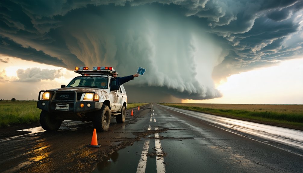
When building an escape plan, you’ll need to account for storms that are moving faster than historical averages due to climate change. Identify multiple evacuation routes before deploying, factoring in road networks, bridge vulnerabilities, and storm surge risks in low-lying areas.
Calculate storm motion vectors using real-time radar data, then establish hard exit thresholds—specific distances and timeframes that trigger immediate retreat. If a storm accelerates beyond 30 mph, your margin for error shrinks dramatically.
Pre-program GPS coordinates for all planned escape corridors and designate rally points with your team. Never rely on a single route. Blocked roads, flooding, or debris can eliminate your exit window fast, leaving you dangerously exposed to a system that’s outpacing your decisions.
Stay Road-Smart When Flash Flooding and Dust Events Strike
When flash flooding threatens, you must never drive into rising waters without knowing the depth—just six inches of moving water can knock you off your feet, and two feet can sweep away most vehicles.
Climate change is intensifying both flash flood frequency and dust storm severity, making road-smart decision-making a critical survival skill for modern chasers.
When visibility drops in blowing dust, you’ll reduce speed immediately, pull completely off the road, turn off your lights, and keep your foot off the brake to avoid becoming a target for other drivers.
Navigating Flash Flood Risks
Flash floods and dust events rank among the most rapidly evolving hazards you’ll encounter during storm chasing, demanding split-second decisions and disciplined road awareness. Urban drainage systems overwhelm within minutes, and flood barriers rarely contain rapidly surging water volumes.
Execute these three protocols immediately:
- Never drive into water of unknown depth—six inches can sweep vehicles off roadways.
- Monitor real-time gauge data and upstream precipitation rates before crossing low-water bridges.
- Identify multiple escape routes before positioning, accounting for road network vulnerabilities during rapid inflow events.
Rising water eliminates your freedom to maneuver faster than any other storm hazard. Treat every water crossing as compromised until confirmed safe.
Your escape plan must prioritize elevation gain and upstream positioning relative to storm motion.
Surviving Dust Storm Driving
Dust storms strike with hamartic speed, reducing visibility to near-zero within seconds and transforming familiar roadways into lethal traps. Your dust storm navigation strategy must activate immediately when conditions deteriorate.
Pull completely off the roadway, cut your engine, and keep your foot off the brake pedal — trailing drivers may follow your lights directly into your vehicle. That’s a fatal mistake you can prevent.
For vehicle safety, close all vents to block particulate infiltration, protecting both occupants and mechanical systems. Particulate matter in severe haboobs can exceed 500 micrograms per cubic meter, damaging engines rapidly.
Never attempt to drive through a wall of dust. Monitor real-time radar for storm boundaries, and only re-enter roadways once visibility confirms safe passage. Your freedom depends on disciplined patience here.
Manage Decision Fatigue During Extended High-Risk Chase Days
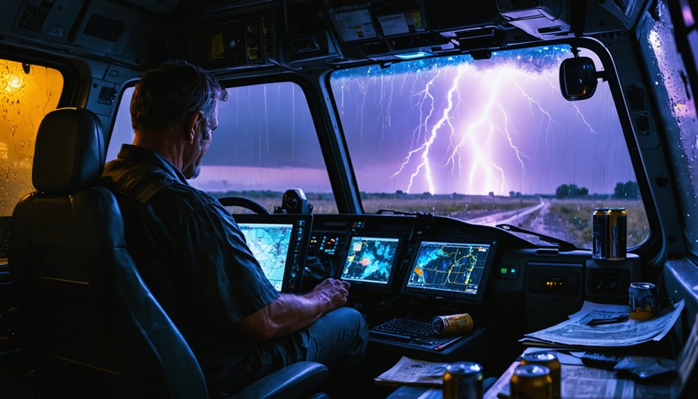
During extended high-risk chase days, decision fatigue can degrade your judgment precisely when accurate, split-second calls matter most. Mental resilience isn’t optional—it’s operational. Building decision clarity into your chase structure keeps you sharp when conditions escalate fast.
Implement these three strategies:
- Pre-plan decision thresholds — Establish hard limits before deploying, like maximum proximity to rotation or turnaround triggers.
- Schedule cognitive resets — Brief 10-minute breaks every three hours measurably restore focus and situational awareness.
- Distribute decisions — Assign navigation, radar interpretation, and communication roles across your team to reduce individual cognitive load.
AI-integrated systems can also automate routine data monitoring, freeing your mental bandwidth for high-stakes judgment calls that machines can’t yet replace.
Reduce Your Storm Chasing Emissions Without Losing Mobility
As a storm chaser, you can cut your carbon footprint considerably by adopting fuel-efficient driving techniques like smooth acceleration, maintaining steady highway speeds, and minimizing unnecessary idling during stationary observation periods.
Electric vehicles are increasingly viable for chasing operations, with extended-range models now offering 300+ miles per charge. However, you’ll need to strategically map charging infrastructure against your projected chase corridors.
Fuel-Efficient Driving Techniques
Storm chasing demands long drives across sprawling terrain, but adopting fuel-efficient techniques can cut your vehicle’s emissions considerably without compromising your ability to intercept storms. Refining your driving techniques keeps you mobile while reducing your environmental footprint.
Prioritize these three fuel efficiency strategies:
- Maintain steady speeds between 55–65 mph on highways, reducing aerodynamic drag and improving fuel economy by up to 14%.
- Accelerate and brake gradually, avoiding aggressive inputs that spike fuel consumption during repositioning maneuvers.
- Monitor tire pressure weekly, since underinflated tires increase rolling resistance, cutting efficiency by 0.2% per PSI drop.
These adjustments don’t restrict your range—they extend it. You’ll cover more ground on less fuel, keeping you in the field longer while minimizing your carbon impact.
Electric Vehicle Chasing Options
Fuel efficiency gains from optimized driving habits only go so far when you’re logging 500+ miles per chase day—but electric vehicles (EVs) push emissions reduction further while keeping your operational range intact. Modern EVs like the Tesla Model 3 Long Range deliver 358 miles per charge, giving you genuine flexibility across open plains.
Strategic electric vehicle charging along anticipated storm corridors—using apps like PlugShare—eliminates range anxiety before it starts. You’ll want to prioritize DC fast chargers, cutting recharge time to under 30 minutes.
Protect battery longevity by avoiding repeated 100% charges; keeping capacity between 20–80% extends pack life markedly across high-mileage chase seasons.
EVs also provide quieter cabins, reducing fatigue during extended deployments—a measurable operational advantage you shouldn’t overlook.
Minimizing Idling And Emissions
Idling burns fuel at 0.2–0.5 gallons per hour without moving you an inch—a significant loss across multi-hour storm setups. You’re sacrificing range and independence while adding unnecessary emissions. Cut that waste strategically:
- Shut the engine during extended waits; use a battery-powered inverter to maintain equipment operation.
- Schedule routine vehicle maintenance—clean filters, fresh oil, and properly inflated tires measurably improve fuel efficiency.
- Complete emissions testing proactively to identify inefficiencies before they compound across thousands of chase miles.
These aren’t suggestions for comfort—they’re tactical decisions that extend your operational range. Fuel you don’t burn keeps you mobile longer, covering more ground when storm windows open unexpectedly. Efficiency equals freedom in the field.
Frequently Asked Questions
How Does Climate Change Affect Storm Chaser Mental Health and Well-Being?
Climate change intensifies mental health challenges you’ll face as storm frequency rises. You’ve got to build emotional resilience through regular mental health assessments, ensuring you’re psychologically prepared to make critical, data-driven decisions during increasingly severe, unpredictable storm events.
What Building Code Improvements Best Protect Communities From Intensifying Severe Storms?
You’ll want to strengthen building codes to prioritize storm resilience by requiring impact-resistant materials, elevated foundations, and reinforced roofing systems. Retrofitting existing structures with these upgrades markedly reduces property damage and protects lives during intensifying severe weather events.
How Should Storm Chasers Properly Handle Wildlife Encounters During Chase Operations?
Stay on established roads during wildlife encounters to minimize habitat disruption. You’ll protect ecosystems by following encounter protocols that prioritize wildlife safety, reducing your environmental footprint while maintaining operational efficiency during active chase sequences.
What Waste Reduction Practices Should Storm Chasers Adopt in the Field?
Use reusable containers to minimize waste generation, and carry out all refuse you bring into the field. Don’t contribute to storm debris; conduct trash cleanup at every site, ensuring you leave zero environmental impact behind.
How Can Communities Retrofit Existing Structures to Withstand Increasingly Severe Storms?
You can retrofit existing structures by applying storm-resistant materials and installing structural reinforcements like hurricane straps and impact-resistant windows. These upgrades markedly reduce damage risks, protecting your community’s freedom and resilience against increasingly severe storms.
References
- https://www.reddit.com/r/stormchasing/comments/1jujw33/what_are_some_tips_for_getting_into_storm_chasing/
- https://www.preventionweb.net/news/what-do-storm-chasers-really-do-two-tornado-scientists-take-us-inside-chase-and-tools-studying
- https://en.wikipedia.org/wiki/Storm_chasing
- https://crazystormchasers.com/climate-change-and-the-future-challenges-for-storm-chasers/
- https://crazystormchasers.com/storm-chaser-environmental-impact-analysis/
- https://www.flame.org/~cdoswell/chasesums/Chase_safety.html