Wedge tornadoes form when CAPE values exceed 4,000 J/kg and wind shear surpasses 50 knots, forcing a mesocyclone’s base to widen faster than the updraft can contract it. You’re looking at a tornado as wide as it is tall, sometimes stretching miles across. Winds frequently surpass 200 mph, driving EF-4 and EF-5 destruction across broader paths than standard tornadoes ever cover. Every factor behind their formation and fury is worth understanding fully.
Key Takeaways
- Wedge tornadoes form when warm, moist surface air collides with cool, dry air aloft, creating extreme atmospheric instability exceeding 4,000 J/kg CAPE.
- Strong wind shear, exceeding 50 knots in the 0-6 km layer, organizes instability into broad, rapidly rotating mesocyclones.
- The mesocyclone’s base widens faster than the updraft contracts it, creating the signature wide, flat wedge shape.
- Wedge tornadoes frequently produce winds surpassing 200 mph, driving catastrophic EF-4 and EF-5 damage across unusually wide destruction paths.
- Their larger circulation resists dissipation longer, sustaining continuous damage over extended ground contact periods compared to standard tornadoes.
What Exactly Qualifies as a Wedge Tornado?
When most people picture a tornado, they envision a narrow, rope-like funnel — but a wedge tornado breaks that mold entirely. In tornado classification, a wedge qualifies when the funnel’s width at ground level equals or exceeds its height. You’re looking at a structure resembling an inverted triangle or a blocky wall of cloud making direct ground contact.
Wedge bases can extend half a mile or stretch several miles wide. Note that “wedge tornado” remains meteorological slang — it’s not an official classification category.
For tornado safety purposes, you need to recognize this distinction: wedges behave differently than standard twisters. Their massive ground contact area means destruction spreads across a considerably broader path, demanding earlier evacuation decisions and greater situational awareness from anyone in their trajectory.
What Weather Conditions Trigger a Wedge Tornado?
When you examine wedge tornado formation, you’ll find that atmospheric instability is the critical foundation—warm, moist surface air colliding with cool, dry air aloft generates the extreme CAPE values, often exceeding 4,000 J/kg, that drive violent storm development.
You need to understand that wind shear isn’t just a contributing factor; it’s the engine that spins the mesocyclone into a powerful rotating updraft capable of producing wedge-scale circulation.
Without both conditions working in precise alignment, the intense supercell thunderstorms responsible for wedge tornado genesis simply won’t reach the necessary threshold.
Atmospheric Instability Requirements
Triggering a wedge tornado demands a precise convergence of atmospheric conditions that push instability to its extreme limits. You’re looking at warm, moist surface air colliding violently with cool, dry air aloft — a thermodynamic clash that accelerates cloud formation at dangerous rates.
CAPEs frequently exceed 4,000 J/kg, with historic events like the 1999 Bridge Creek-Moore tornado recording values above 6,000 J/kg. That energy density isn’t coincidental — it’s the volatile fuel feeding explosive updraft development.
Topographical influence also matters greatly; terrain features can accelerate low-level wind flow, concentrating moisture transport and intensifying surface convergence zones.
Wind shear then organizes this raw instability into a rotating mesocyclone. Without these parameters aligning simultaneously, wedge-scale tornadogenesis simply doesn’t occur.
Wind Shear Role
Wind shear acts as the organizational engine that transforms raw atmospheric instability into a rotating, wedge-capable supercell. When you analyze wedge tornado events, you’ll find that directional and speed shear working together tilt storm updrafts, preventing premature precipitation interference. This mechanical process stretches vertical vorticity into a mesocyclone capable of supporting extreme tornado classification categories like EF-4 and EF-5.
You’ll notice that strong low-level shear below 1 kilometer directly influences cloud formations, forcing the mesocyclone base downward. That lowered base becomes critical — it compresses the distance between rotation and ground contact.
Wind shear values exceeding 50 knots across the 0-6 kilometer layer consistently appear in wedge-producing environments. Without this precise shear profile, even high CAPE environments rarely generate the wide, ground-scraping circulation that defines true wedge behavior.
How Do CAPE and Wind Shear Drive Wedge Formation?
When you examine wedge tornado formation, you’ll find that CAPE values exceeding 4,000 J/kg—sometimes surpassing 6,000 J/kg as recorded during the 1999 Bridge Creek Moore event—fuel the extreme atmospheric instability that drives violent updrafts.
You can trace the mesocyclone’s development directly to high wind shear, which rotates and strengthens the storm’s circulation until a defined rotating column forms.
Together, these forces accelerate the lowering of the mesocyclone’s base and amplify horizontal motion, creating the conditions necessary for wedge-scale tornado development.
CAPE Fuels Atmospheric Instability
Extreme atmospheric instability, measured by Convective Available Potential Energy (CAPE), serves as the foundational fuel for wedge tornado development. When CAPE values exceed 4,000 J/kg, you’re looking at conditions volatile enough to spawn violent rotation.
The 1999 Bridge Creek-Moore tornado recorded CAPE values surpassing 6,000 J/kg, demonstrating precisely how explosive this energy release becomes. High CAPE accelerates updraft strength, drawing warm, moist Gulf air northward with tremendous force.
This vertical energy release destabilizes the atmosphere rapidly, creating the instability wedge tornadoes require to mature. Understanding these values directly improves storm prediction accuracy, giving you critical lead time before a storm strikes.
Monitoring CAPE readings remains essential for tornado safety, as higher values signal increasingly dangerous supercell development capable of producing catastrophic wedge events.
Wind Shear Builds Mesocyclone Rotation
While CAPE supplies the raw energy, wind shear converts that instability into organized rotation. When wind speed and direction change rapidly with altitude, horizontal air tubes tilt vertically into a storm’s updraft, creating the mesocyclone that defines supercell structure.
You’re looking at a self-reinforcing system — stronger shear produces tighter rotation, which intensifies the pressure gradient, which accelerates wind speeds further.
For wedge tornado development specifically, high shear values allow the mesocyclone to expand horizontally rather than contract vertically. Tornado tracking data consistently shows that wedge events correlate with exceptionally deep shear layers extending through the mid-troposphere.
During damage assessment of violent wedge corridors, meteorologists confirm that broader mesocyclone bases directly produce wider ground contact. Without sufficient shear, even extreme CAPE values can’t generate the organized vorticity wedge tornadoes demand.
Combined Forces Drive Wedge Development
CAPE and wind shear don’t operate in isolation — they form a coupled feedback system that drives wedge tornado development. When CAPE exceeds 4,000 J/kg, updraft intensity surges, stretching the mesocyclone vertically while shear simultaneously tilts it into a rotating column. You’re looking at a system where each variable amplifies the other.
Historical cases confirm this dynamic. The 1999 Bridge Creek-Moore event recorded CAPE values exceeding 6,000 J/kg paired with extreme directional shear, producing an EF-5 wedge that redefined tornado classification benchmarks. That combination accelerated mesocyclone condensation, forcing the RFD surge to envelop the entire rotation down to ground level.
When both thresholds align simultaneously, you get rapid width expansion, lowered circulation bases, and the structural conditions that distinguish true wedge tornadoes from standard supercell products.
How Does a Mesocyclone Build Into a Wedge Tornado?
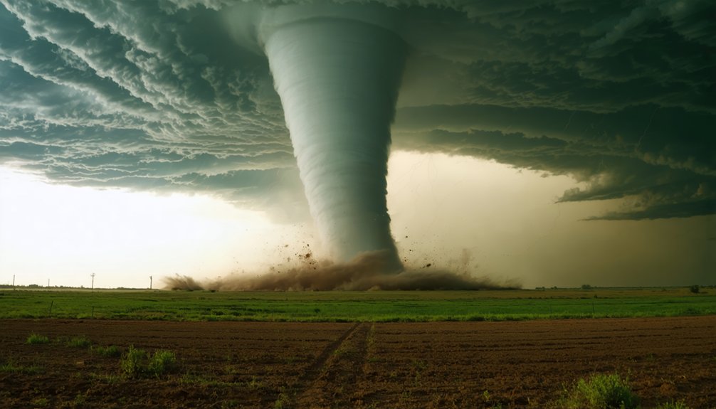
How does a mesocyclone transform into a massive wedge tornado? When a powerful RFD surge envelops the entire mesocyclone, it condenses the rotating column straight to the ground. You’re witnessing tornado intensity escalate rapidly as circulation tightens and wind shear intensifies.
Key formation mechanics include:
- RFD surge envelops the mesocyclone, forcing condensation groundward
- Lowered mesocyclone base results from horizontal motion outpacing the updraft’s lifting capacity
- CAPE values exceeding 4000 fuel violent updrafts, driving wind damage to catastrophic levels
- Multiple vortices develop within concentrated pressure zones, expanding the tornado’s width
This sequence transforms a standard rotating column into a miles-wide destroyer. The mesocyclone’s base widens faster than the updraft can contract it, producing the characteristic wedge shape.
What Makes Wedge Tornadoes More Destructive Than Standard Tornadoes?
Wedge tornadoes don’t just cover more ground—they fundamentally overwhelm structures through a combination of extreme wind velocity and debris dynamics that standard tornadoes can’t replicate. Wind damage escalates dramatically when speeds exceed 200 mph across a path potentially miles wide. You’re not dealing with a narrow corridor of destruction—you’re facing simultaneous, sustained assault across entire neighborhoods.
Tornado intensity reaches EF-4 or EF-5 classification rapidly due to expanded circulation and extraordinary shear forces. CAPE values exceeding 4,000—sometimes surpassing 6,000 as recorded during the 1999 Bridge Creek Moore event—fuel updrafts that launch massive debris to extreme heights before slamming it downward with amplified force.
Buildings don’t just sustain damage; they’re leveled completely. Standard tornadoes rarely produce this scale of simultaneous, compounding destruction.
How Fast Do Wedge Tornado Winds Get?
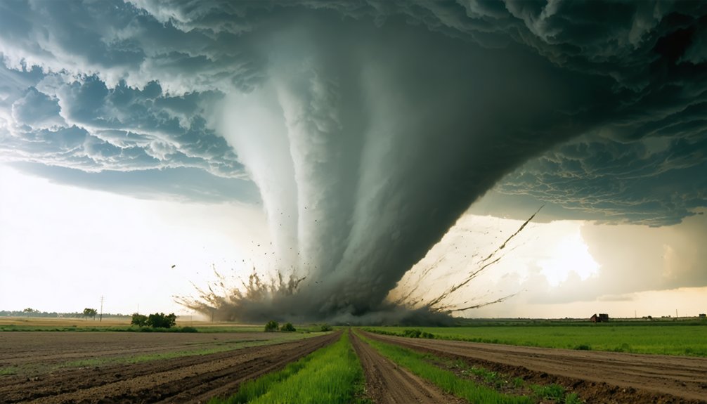
Wind velocity sits at the core of what makes wedge tornadoes catastrophically different from their smaller counterparts. Tornado history confirms that wind speeds frequently exceed 200 mph during the most violent wedge events. Damage assessment data shows rapid escalation to EF-4 or EF-5 intensity due to expanded circulation and extreme shear.
Wind velocity separates wedge tornadoes from smaller storms — speeds exceeding 200 mph drive catastrophic EF-4 and EF-5 destruction.
Key wind speed facts you should understand:
- EF-5 tornadoes are almost always wedges, driven by intense velocity expansion
- The 1999 Bridge Creek Moore event set benchmarks with CAPE values exceeding 6000
- Winds exceeding 200 mph send massive debris flying higher before crashing down with amplified force
- Increased shear accelerates maturation into violent twisters faster than standard tornado development
You’re dealing with atmospheric forces that level entire structures and erase communities completely.
Where and When Do Wedge Tornadoes Strike Most Often?
Although wedge tornadoes can technically form anywhere supercell thunderstorms develop, the Plains region dominates occurrence patterns by a wide margin. April, May, and June represent peak formation months, when warm, moist Gulf air collides with cool, dry continental air masses, generating the extreme CAPE values wedge development demands.
Regional variations exist but remain statistically minor compared to classic Tornado Alley concentrations.
Historical incidents like the 1999 Bridge Creek-Moore event demonstrate how Oklahoma’s geographic positioning creates near-perfect atmospheric alignment repeatedly across seasons.
You’re looking at roughly a dozen wedge tornadoes globally per season. That’s a small number with catastrophic reach.
Understanding regional risk patterns lets you make informed decisions about preparedness, particularly if you’re living within high-frequency strike zones during peak severe weather months.
Do Wedge Tornadoes Last Longer Than Regular Tornadoes?
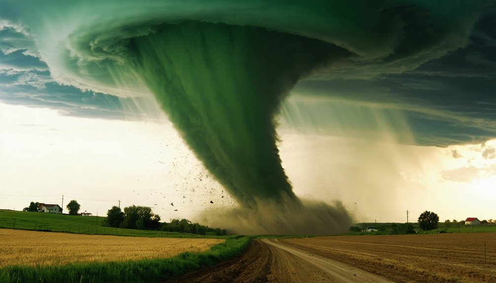
Size directly influences survival time, and wedge tornadoes leverage that advantage considerably. Their massive circulation systems resist dissipation far longer than standard tornadoes, giving you extended windows of structural damage across wider destruction corridors. Tornado classification rarely captures this durational edge officially, yet the data consistently confirms it.
- Wedge tornadoes outlast typical tornadoes due to their larger, more stable mesocyclone structures.
- Greater width distributes energy across broader areas, sustaining circulation longer.
- High-end supercell environments continuously feed the system, delaying collapse.
- Extended ground contact multiplies structural damage potential exponentially along the path.
You’re dealing with a system that doesn’t just hit harder — it persists longer. That combination of duration and width makes wedge tornadoes disproportionately dangerous compared to their narrower counterparts.
Frequently Asked Questions
Can a Wedge Tornado Occur Outside of Tornado Alley?
Yes, you can witness wedge tornado formation beyond Tornado Alley! Shifting weather patterns allow these monsters to strike anywhere extreme atmospheric instability exists—Europe, Bangladesh, and Australia have all experienced wedge-like events defying geographic boundaries.
Have Wedge Tornadoes Ever Been Successfully Predicted Before Forming?
Yes, you’ve seen meteorologists successfully predict wedge tornado formation using advanced weather forecasting tools. They’ve tracked CAPE values exceeding 4000, wind shear, and RFD patterns, giving you critical lead time before violent tornado formation occurs.
What Is the Widest Wedge Tornado Ever Officially Recorded?
Like a giant erasing the earth, the 2013 El Reno tornado holds the record — you’re looking at 2.6 miles wide, an EF3 tornado classification, with catastrophic wind damage exceeding 135 mph.
Can Multiple Wedge Tornadoes Form From the Same Supercell?
Yes, you can see multiple wedge tornadoes form from one supercell. Supercell dynamics support sequential tornado formation cycles, where each mesocyclone collapse triggers a new one, enabling repeated, intense tornado formation events within a single storm system.
Are Wedge Tornadoes Becoming More Frequent Due to Climate Change?
Like a storm on the horizon, climate impact on tornado frequency remains unclear. Current data doesn’t confirm wedge tornadoes are increasing; you’re seeing better detection technology making them appear more frequent than before.
References
- https://cajunnavy2016.org/tornado/what-is-a-wedge-tornado/
- https://en.wikipedia.org/wiki/Wedge_tornado?oldformat=true
- https://www.reddit.com/r/tornado/comments/1aig3d7/what_specific_parameters_lead_to_mega_wedge/
- https://vocabdictionary.com/explained/what-causes-wedge-tornadoes/
- https://www.youtube.com/watch?v=sCiZg4c8bjE
- https://www.tornadochaser.net/what-is-a-wedge-tornado/
- https://tornadoextreme.com/what-is-a-wedge-tornado/
- https://www.reddit.com/r/tornado/comments/1o0usj4/why_are_ef5_tornadoes_almost_always_wedges/
- https://www.accuweather.com/en/weather-news/what-is-a-wedge-tornado/6235796



