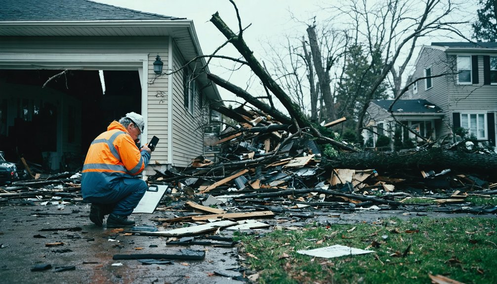
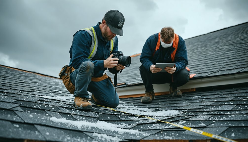
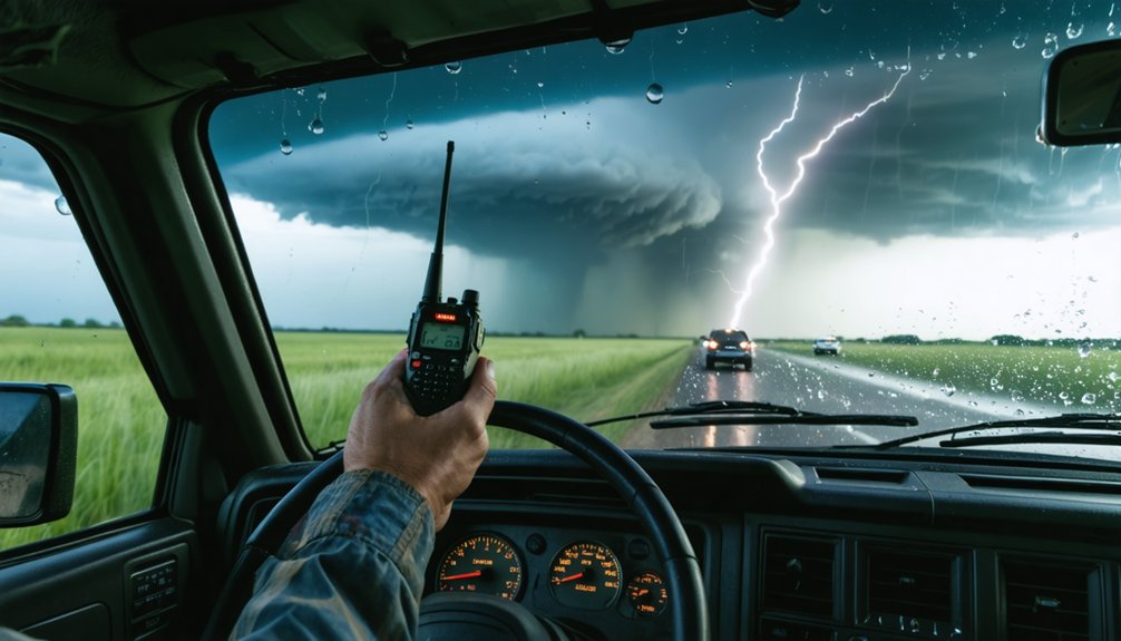
To coordinate with the National Weather Service as a chaser, you’ll need verified spotter training, precise reporting habits, and the right communication tools. Complete NWS storm spotter training, register on spotternetwork.org, and connect with your county emergency manager. Your reports must include what happened, where, and exactly when—not when you filed them. Accurate, timely ground-truth observations are what forecasters actually rely on, and there’s a structured process behind every effective submission.
Key Takeaways
- Complete free storm spotter training covering storm structure, safety, and communication to qualify for submitting reports to the NWS.
- Contact county emergency managers after training to join local spotting networks for better coordination during fast-moving events.
- Register at spotternetwork.org, configure GPS, and keep it transmitting so your observations overlay onto NWS radar displays.
- Submit timely, detailed reports answering what, where, and when, reflecting the actual event time, not when filed.
- Focus reports on specific verified events—tornadoes, large hail, or damaging winds—using recognizable landmarks for precise location.
What NWS Actually Needs From Storm Spotters and Chasers
The National Weather Service doesn’t need dramatic footage or general impressions—it needs ground truth. When you’re storm tracking, your value lies in confirming or correcting what radar indicates, not in capturing spectacle.
NWS meteorologists need specific, verified observations that their weather instrumentation can’t always provide at ground level.
Your reports must answer three questions precisely: what occurred, where it occurred using recognizable roads or landmarks, and when it occurred—not when you’re calling it in.
Distinguish clearly between your position and the event’s location. A report saying “large hail near Highway 9 and County Road 120 at 6:42 PM” is actionable. Vague descriptions aren’t.
Submit only what you’ve directly observed, and do it fast—delayed reports lose operational value quickly.
Get Trained Before You Chase Severe Weather
Before you chase severe weather, you should attend a storm spotter training class, which is free and takes about two hours to complete.
You’ll cover storm structure, feature identification, positioning, safety protocols, and communication standards that directly apply to coordinating with the NWS.
Contact your county emergency manager to connect with local spotting networks and learn how reports are routed in your area.
Attend Free Spotter Classes
If you want to coordinate effectively with the National Weather Service, attending a free storm spotter training class is your first step. These two-hour sessions cover storm structure, feature identification, positioning, safety, and communication — everything you need for accurate storm observation.
You can attend in person or complete training online by creating an account and searching “Spotter Training.” Either option qualifies you to submit reports that directly improve weather accuracy at your local NWS office.
After completing training, contact your county emergency manager to connect with local spotting networks. You don’t need community affiliation to report independently, but knowing your regional infrastructure strengthens coordination.
Once certified, you’ll report with confidence, knowing your ground-level observations confirm what radar alone can’t definitively establish.
Contact Your County Manager
Once you’ve completed spotter training, connecting with your county emergency manager puts you inside the local coordination structure that links ground observers to your regional NWS office.
Historical case studies confirm that organized networks outperform independent reporting during fast-moving events. Weather pattern analysis becomes far more actionable when your reports feed into an established chain.
Contact your county emergency manager to:
- Identify active local spotter networks operating in your area
- Learn communication protocols specific to your county’s severe weather plan
- Understand how your reports integrate with NWS coordination during active events
- Access resources that sharpen your situational awareness during complex weather pattern analysis
- Strengthen regional response capabilities supported by historical case studies and documented outcomes
You don’t need community affiliation to report, but joining a network multiplies your operational effectiveness markedly.
What Every Severe Weather Report Must Include
When you submit a severe weather report, it must be detailed, accurate, and timely to be useful to the National Weather Service. Every report contributes to storm data that meteorologists use to analyze weather patterns and confirm radar indications.
Your report must answer three critical questions: what, where, and when.
What: Identify the specific weather event you observed—tornado, large hail, or damaging winds.
Where: Use well-known roads or landmarks to pinpoint the event’s location. Don’t confuse your position with the storm’s position.
When: Report the time the event occurred, not when you’re filing the report. Timing accuracy directly affects how NWS interprets developing situations.
Precision in these three areas determines whether your report becomes actionable intelligence or unusable noise.
How to Submit Real-Time Storm Reports to NWS
Having a quality report means nothing if it doesn’t reach NWS in time to matter. You’ve got multiple submission channels available, so use the one that fits your situation fastest.
- Call NWS Norman’s Public Service Line at 405-325-3816 for life-threatening threats.
- Submit storm data via NWS Norman’s Facebook or Twitter for rapid digital reporting.
- Join the NWS Norman Amateur Radio Network for real-time coordinated communication.
- Use The Spotter Network at spotternetwork.org to log position and observations.
- Email reports with images when documenting damage or delayed weather patterns.
Each method serves a specific operational need. Phone calls push urgent threats instantly. Social platforms broadcast quickly to monitoring staff. The Spotter Network integrates your ground truth into broader situational awareness. Match your submission method to the urgency and nature of what you’re reporting.
Use the Spotter Network to Coordinate Storm Reports
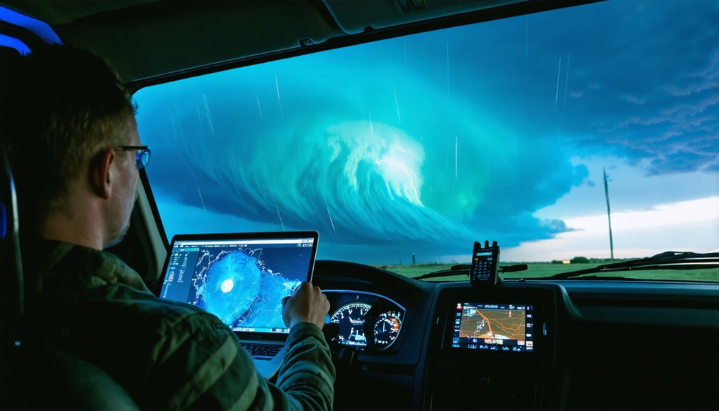
The Spotter Network gives you something the other submission methods don’t—a persistent, map-based platform that broadcasts your real-time position and observations to NWS forecasters and other spotters simultaneously. Register at spotternetwork.org, configure your GPS-enabled device, and activate your position before you deploy.
As you observe storm structure and report conditions, your data overlays directly onto weather radar displays used by NWS forecasters, giving them ground-truth confirmation in real time. You’re not waiting for a phone call to connect—your report is immediate and geographically precise.
This matters most when multiple chasers are working the same storm. Coordinated positioning eliminates redundant reports and fills observational gaps across a broader area.
Use it actively, keep your GPS transmitting, and update your observations as conditions change.
Reporting Mistakes That Break NWS Coordination
Even a well-positioned spotter can undermine NWS coordination with a poorly constructed report. Meteorological data loses value when reports contain errors that obscure what actually occurred.
Historical storm patterns confirm that vague or mistimed submissions consistently delay NWS response. Avoid these coordination-breaking mistakes:
- Reporting when you called instead of when the event occurred
- Confusing your location with the event’s location
- Using vague descriptors like “large tornado” without measurable context
- Submitting reports after the threat has passed, reducing operational value
- Omitting well-known road intersections or landmarks for precise positioning
Your report is only as useful as its accuracy. Own every detail you submit. The NWS depends on ground truth that’s precise, timely, and clearly structured to confirm what radar can’t independently verify.
How Chasers Select Targets and Trigger NWS Reports
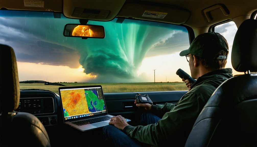
Before you ever get in your car, you’re already making decisions that’ll shape your coordination with the NWS. Storm chasing starts with weather prediction, typically one to two days out, using model forecasts to identify where moisture, instability, lift, and wind shear converge.
You’re targeting boundaries—drylines, warm fronts, outflow boundaries—because that’s where lift concentrates. When the cap runs strong, you push toward boundary intersections to maximize both lift and shear potential.
Once you’re positioned and storms initiate, your ground-truth reports become operationally valuable. Radar can’t confirm what you can see directly. When you observe a tornado, large hail, or damaging winds, that’s your trigger point. Report immediately with precise location, event type, and time of occurrence—not when you filed the report.
Escape Routes, Buffer Zones, and the ACES Safety Framework
Before you position yourself near a storm, you must plan your escape route based on storm movement and behavior.
Keep a buffer zone between yourself and the storm to account for sudden direction changes.
Never drive through the tornado or hail core.
Remember ACES—awareness, communication, escape routes, and safe zones—as your operational framework for staying alive in the field.
Planning Your Escape Routes
Safety in storm spotting depends on preparation, and your escape route is the foundation of that preparation. Before you engage in storm tracking, identify your exit before conditions force your hand. Weather radar helps you anticipate movement, but ground reality demands a pre-planned path.
Build your escape strategy around these critical principles:
- Know the storm’s direction and speed before positioning yourself
- Identify roads that run perpendicular to storm movement
- Maintain a buffer zone that gives you time to react
- Never drive through the tornado or hail core to escape
- Reassess your route continuously as conditions shift
Your freedom to operate near severe weather depends entirely on disciplined planning. An escape route isn’t optional—it’s the difference between effective spotting and becoming a casualty.
Buffer Zones And ACES
Maintaining a buffer zone between you and the storm isn’t passive caution—it’s an active tactical decision that preserves your ability to respond when conditions shift unexpectedly. Your storm buffer must account for storm speed, direction, and the time required to reposition safely. Shrink that margin, and you surrender your options.
The ACES framework operationalizes this discipline. Awareness keeps you tracking storm behavior continuously. Communication connects you to other spotters, chasers, and NWS personnel monitoring the same system. Escape routes must be pre-identified—not improvised under pressure.
Safety zones are fixed reference points you can reach without crossing the storm’s core.
Apply ACES before you need it. When a storm accelerates or shifts, your storm buffer and pre-planned safety zones are what keep coordination possible and survival guaranteed.
Frequently Asked Questions
Can Storm Chasers Coordinate Directly With Local Emergency Managers During Events?
Yes, you can coordinate directly with local emergency managers. Contact your county’s emergency manager to join local storm reporting protocols and access emergency communication channels, ensuring your real-time observations reach the right authorities fast.
Is There a Minimum Age Requirement to Become a Certified Storm Spotter?
The provided knowledge doesn’t specify age requirements for storm spotter certification. You’ll want to contact your county emergency manager or NWS directly to confirm any local age restrictions before pursuing your storm spotter certification.
Do NWS Meteorologists Ever Contact Chasers Directly for Additional Ground Truth?
Yes, NWS meteorologists can contact you directly when radar technology or satellite data leaves ambiguity. You’ll provide critical ground truth that confirms what instruments can’t resolve, making your real-time observations invaluable to their operational decision-making.
Can International Storm Chasers Submit Reports to NWS During US Severe Weather?
Like a global relay race, yes—you can submit reports regardless of origin. International collaboration knows no borders; follow standard reporting protocols using NWS social media, The Spotter Network, or the public service line during U.S. severe weather events.
Are There Legal Liabilities if a Chaser Submits an Inaccurate Severe Weather Report?
The knowledge base doesn’t address legal liabilities directly, but you’re responsible for reporting accuracy. Submitting false severe weather reports can create legal liabilities, potentially violating federal statutes governing emergency communications, so always verify observations before submitting.
References
- https://www.facebook.com/groups/470395264442262/posts/1492963092185469/
- https://www.weather.gov/oun/stormspotting
- https://www.weather.gov/lot/seminar
- https://en.wikipedia.org/wiki/Storm_chasing
- https://www.weather.gov/media/bis/Weather_Spotter_Field_Guide.pdf
- http://www.stormeyes.org/tornado/chasing/FAQ/
- https://ams.confex.com/ams/pdfpapers/142195.pdf
- https://www.weather.gov/cae/skywarn-FAQ