Before you chase a hurricane, study the latest NHC advisory, ensemble models, and cone of uncertainty. Pack 72 hours of supplies, satellite communication gear, and offline maps with multiple exit routes pre-loaded. Treat every rain band as an independent threat and set hard abort thresholds before you leave. Assess flooded roads carefully—six inches of water can knock you down. There’s much more critical strategy ahead that could keep you alive.
Key Takeaways
- Study NHC advisories, ensemble models, and radar loops continuously to verify forecast changes and identify safe timing windows for operations.
- Map multiple exit routes using FEMA flood maps, NWS storm surge projections, and terrain data, avoiding bridges and flood-prone corridors.
- Treat every rain band as an independent threat, monitoring radar for embedded tornadoes, wind shifts, and dangerous lightning activity.
- Carry satellite communicators, weather radios, and offline maps since cellular networks frequently fail during hurricane landfall conditions.
- Never cross flooded roads; six inches of moving water can knock a person down, and twelve inches can carry a vehicle away.
Know the Hurricane Forecast Before You Leave Home
Before you pull out of the driveway, study the latest official hurricane forecast package from the National Hurricane Center, including the cone of uncertainty, warning areas, and projected track timing.
Hurricane prediction models shift quickly, so compare satellite trends, radar loops, and ensemble data to confirm whether track or wind speed forecasts have changed since the previous advisory.
Set a firm decision deadline before hazardous conditions arrive, not at landfall. You need that margin to reposition or exit cleanly.
Cross-reference NHC advisories with mesoscale model guidance to identify timing windows where you retain full mobility.
If updated hurricane prediction data tightens the cone toward your planned area or escalates wind speed thresholds, adjust your route immediately.
Your freedom in the field depends entirely on accurate pre-chase intelligence.
Plan a Hurricane Chase Route With Multiple Exits
Before you commit to a chase route, map at least two or three exit paths that don’t rely on bridges, flood-prone corridors, or dead-end roads.
Cross-reference road networks against terrain and drainage data so you can identify which segments fail first under heavy rain and storm surge.
As the storm tracks and timing evolve, update your routes continuously rather than locking into a plan built on conditions that no longer exist.
Map Multiple Escape Routes
When you’re planning a hurricane chase, mapping multiple escape routes isn’t optional—it’s a core operational requirement. Before deployment, cross-reference FEMA flood maps, state DOT road data, and NWS storm surge projections to identify emergency evacuation routes that remain viable under deteriorating conditions. Never rely on a single corridor out of a threatened zone.
Layer your route plan using at least two perpendicular exit vectors relative to the storm’s projected track. Mark bridges, low-lying roads, and flood-prone intersections as hard exclusion zones.
Your vehicle maintenance must be current before entering the field—a mechanical failure on a compromised route eliminates every contingency you’ve built.
Load offline maps as a backup since cell coverage degrades rapidly during landfall. Mobility is your primary safety margin; protect it.
Avoid Dead-End Roads
Dead-end roads remove your margin entirely—once you’re committed, the only exit is the direction the storm is pushing you.
Before deployment, cross-reference road infrastructure using county GIS layers and satellite imagery to identify terminus points, cul-de-sacs, and dead-end rural spurs that won’t appear on standard navigation apps.
Don’t trust road signage alone in the field. Signs get knocked down, obscured by debris, or simply don’t exist on low-maintenance rural routes.
Pre-load offline maps with confirmed through-roads marked before you leave the staging area.
Flag every dead-end segment in your route plan and treat those corridors as off-limits regardless of positioning advantages. A slightly worse observation angle on a connected road beats a perfect view with zero egress options.
Update Routes Continuously
Hurricane tracks shift, so your route plan has to shift with them. Don’t lock into a fixed route hours before landfall and assume it’ll hold. Pull updated satellite analysis and weather modeling data regularly to catch any wobbles in the storm’s trajectory or changes in forward speed. A 20-mile track shift can turn your planned exit into a direct intercept path.
Keep at least two viable exit routes active at all times, and cross-reference them against real-time radar to confirm they’re clear of flooding or debris. Mark alternates before you need them, not during a rapid deterioration. If a road drops off your options list, replace it immediately.
Your route isn’t a fixed plan—it’s a living document you’re continuously rewriting as conditions evolve.
What to Pack in Your Hurricane Chasing Vehicle
Packing your hurricane chasing vehicle correctly can be the difference between a recoverable situation and a dangerous one. You’re operating in an environment where supply chains collapse fast, so self-sufficiency isn’t optional.
- Emergency shelter: Include a compact, weatherproof option for unexpected overnights or entrapment scenarios.
- First aid: Carry a trauma-rated kit with tourniquets, wound closure strips, and prescription medications.
- Power redundancy: Pack backup batteries, solar chargers, and charging cables for phones, radios, and tracking devices.
Beyond these essentials, stock at least 72 hours of water and calorie-dense food.
Maintain spare tires, jumper cables, and basic repair tools.
Every item you load reduces your dependence on infrastructure that hurricanes routinely destroy, keeping your options open and your mission sustainable.
Read Hurricane Structure and Radar From a Safe Distance
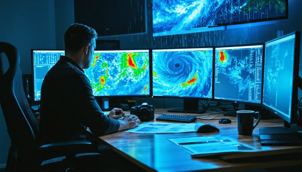
Reading hurricane structure correctly keeps you positioned where data is actionable and risk is manageable. Cross-reference radar loops with satellite imagery to track the storm eye’s precise location and forward speed. Rain bands spiral outward unevenly, so treat each band as an independent threat carrying embedded tornadoes, intense lightning, and sudden wind shifts.
Maintain lateral separation from the core rather than penetrating it. Core-punching eliminates your escape margin and puts you inside the highest-wind, highest-surge zone without reliable exit options. Watch radar reflectivity and velocity scans together, since reflectivity alone won’t reveal rotation hidden inside dense precipitation.
Set distance thresholds before the chase begins, not during it. When radar trends show accelerating intensification or unexpected track shifts, retreat immediately and reposition from a safer angle.
How to Handle Flooded Roads During a Hurricane
Structural awareness and radar interpretation keep you positioned safely relative to the storm’s core, but the road network beneath you introduces a separate and often faster-moving threat.
Flooded road hazards escalate quickly during hurricanes, and water depth assessment must happen before you commit to any crossing.
- Six inches of moving water can knock you down; twelve inches can carry a small vehicle off course
- Never trust road markings or lane lines as depth indicators under floodwater
- Storm surge can overtake roads faster than posted evacuation timelines suggest
Turn around immediately when water covers the pavement. You can’t gauge depth visually with accuracy. One miscalculation eliminates your exit options entirely.
Maintain alternate route awareness at all times, and never let a single road define your escape plan.
Stay Connected When Hurricane Conditions Kill Cell Service
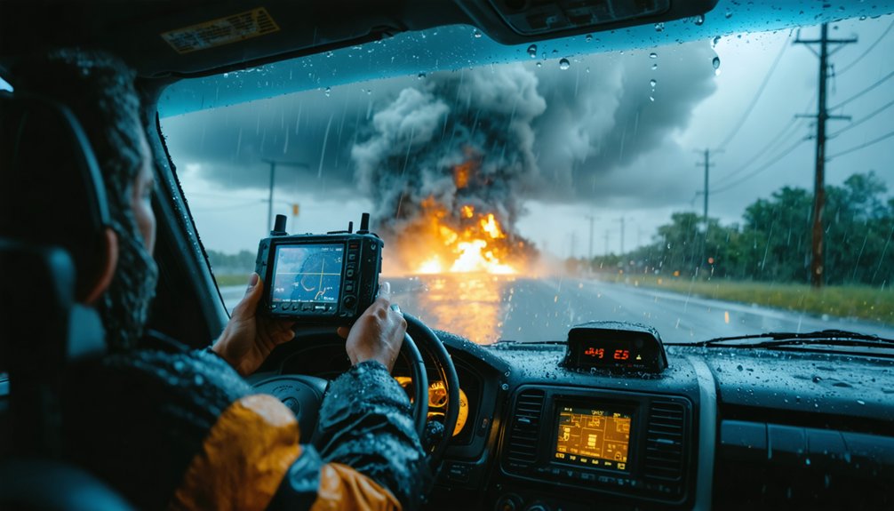
Cell towers fail during hurricanes for three compounding reasons: wind damage to antenna arrays, power grid outages affecting tower electronics, and network congestion as thousands of users simultaneously attempt to transmit.
When cellular infrastructure collapses, you lose real-time satellite analysis feeds, NWS alerts, and team coordination simultaneously.
Carry a satellite communicator—Garmin inReach or SPOT—that operates independently of terrestrial networks. Pair it with a weather radio for direct NWS broadcasts. Program your team’s check-in intervals before entering the field, and transmit your GPS coordinates at each interval.
Storm surge zones eliminate road exits faster than any other hurricane hazard, so your communication redundancy must function precisely when cellular service doesn’t. Never treat mobile data as your primary link—treat it as a backup that may already be gone.
When to Call It and Get Out of the Hurricane’s Path
Every storm chaser needs a hard abort threshold defined before departure, not negotiated in real time while rain bands are already reducing visibility to under a quarter mile. Storm surge advances faster than most chasers expect, cutting escape routes before wind shear even peaks. Set your exit trigger around objective data points, not comfort levels.
Define your abort threshold before departure—not while rain bands are already stealing your visibility and options.
- Evacuate when storm surge forecasts show inundation reaching your planned corridor within three hours.
- Abandon position when sustained winds exceed 45 mph, eliminating your vehicle’s handling margin.
- Reroute immediately if your primary and secondary exits are both flagged as flood-prone on current radar.
Your freedom to chase another storm depends on leaving this one before conditions dictate your options. Define the threshold. Honor it. Drive out.
What to Do at Law Enforcement Roadblocks
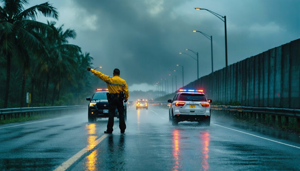
When you reach a law enforcement roadblock, identify yourself honestly as a storm chaser.
State your intended location and purpose, and don’t attempt to bluff or misrepresent your activity.
Comply fully with any access restrictions the officer imposes, since violating those orders risks both legal consequences and interference with active emergency operations.
Keep your vehicle clear of driveways, intersections, and fire lanes so that emergency responders maintain unobstructed access to the affected area.
Identify Yourself Clearly
Law enforcement roadblocks during hurricane events aren’t obstacles to resent—they’re active safety perimeters staffed by officers managing evacuation flow, emergency vehicle access, and civilian risk.
Identify yourself clearly, state your purpose directly, and don’t misrepresent your credentials. Your personal safety and equipment maintenance depend on maintaining access, and deception jeopardizes both.
- State your name, affiliation, and chase objective without embellishment—officers respond better to transparency than vague explanations.
- Show press credentials, research documentation, or organizational ID if you carry them; legitimacy accelerates clearance.
- If denied access, comply immediately and reroute—arguing wastes critical time and damages credibility for every chaser who follows.
Honesty keeps communication efficient, preserves your operational freedom, and ensures emergency responders aren’t distracted managing confrontations you caused.
Comply With All Restrictions
Compliance isn’t optional once a restriction’s been issued—it’s the operational baseline. When law enforcement establishes a roadblock based on current weather pattern data or escalating storm intensity forecasts, arguing or circumventing it costs you credibility and future access.
Identify your activity clearly, present any credentials, and accept the officer’s decision without negotiation.
Restrictions exist because emergency managers have situational data you may not—surge projections, structural failures, or active rescue corridors.
Attempting to bypass checkpoints doesn’t just risk your safety; it pulls resources from critical response operations.
If a roadblock blocks your intended position, immediately reroute using pre-planned alternatives. Your pre-chase route planning should’ve already accounted for this contingency.
Adapt, reposition, and continue monitoring. Operational flexibility separates disciplined chasers from liabilities in the field.
Avoid Blocking Emergency Access
Blocking driveways, intersections, fire lanes, or emergency access routes—even briefly—disrupts active response operations and creates measurable delays in critical resource deployment. Emergency signage and crowd management protocols exist to maintain operational corridors; violating them compromises the entire response grid.
- Identify yourself honestly at law enforcement roadblocks—misrepresentation escalates confrontation and eliminates your future field access.
- Read emergency signage immediately upon entering an operational zone; posted restrictions reflect real-time command decisions, not suggestions.
- Yield to crowd management directives without negotiation—responders are managing dynamic, high-stakes logistics where delays cost lives.
You’re mobile, adaptable, and operating with situational awareness—use those advantages to reposition quickly rather than occupying critical space. Your vehicle placement is a tactical decision with measurable downstream consequences.
Frequently Asked Questions
Should Storm Chasers Carry Insurance Specific to Hurricane Chasing Activities?
Like a knight needing armor before battle, you should secure insurance coverage tailored to hurricane chasing. It’s essential risk management—protecting your freedom to chase without financial ruin from vehicle damage, liability, or medical emergencies.
Can Beginners Legally Chase Hurricanes Without Professional Training or Certification?
You can legally chase hurricanes without certification, but you’re assuming serious risk. Master emergency communication protocols, understand storm data, and refine hurricane photography skills before entering the field—your survival depends on preparation, not legality.
How Do Storm Chasers Coordinate With Official Emergency Management Teams on Site?
Like a radio tower cutting through static, you’ll coordinate storm tracking by monitoring NWS alerts, sharing your GPS location, and maintaining open emergency communication lines with local management teams without obstructing their operations.
What Mental Health Challenges Do Storm Chasers Face After Dangerous Hurricane Encounters?
You’ll likely face PTSD and acute stress after dangerous encounters. Prioritize post-trauma recovery through structured debriefs and peer support. Practice anxiety management using measurable techniques like controlled breathing protocols and cognitive behavioral strategies to restore operational readiness efficiently.
Are There Professional Organizations That Set Safety Standards for Hurricane Chasers?
Few formal bodies enforce storm chaser regulations, but you’ll find guidance through the American Meteorological Society and National Weather Service. They promote hurricane safety standards, and you’re encouraged to follow their data-driven protocols voluntarily.
References
- https://www.atms.unca.edu/cgodfrey/courses/swfex/pdf/ChasingSafety.pdf
- https://weathers.news/hurricane-tracker-guide-how-to-follow-cones-models-and-landfall-risk
- https://stormtrack.org/threads/hurricane-chasing.5851/
- https://midweststormchasers.org/safety-tips/
- https://will.illinois.edu/weatherrealness/episode/storm-chasing-can-be-deadly-heres-how-to-stay-safe
- https://stormhighway.com/chasingfaq.php
- https://www.noaa.gov/hurricane-prep
- https://crazystormchasers.com/safety-measures-for-storm-chasers-guidelines/
- https://weather.cod.edu/oldchasing/Safety.pdf
- https://stormchaser.com/Storm-Chasing-Safety.pdf



