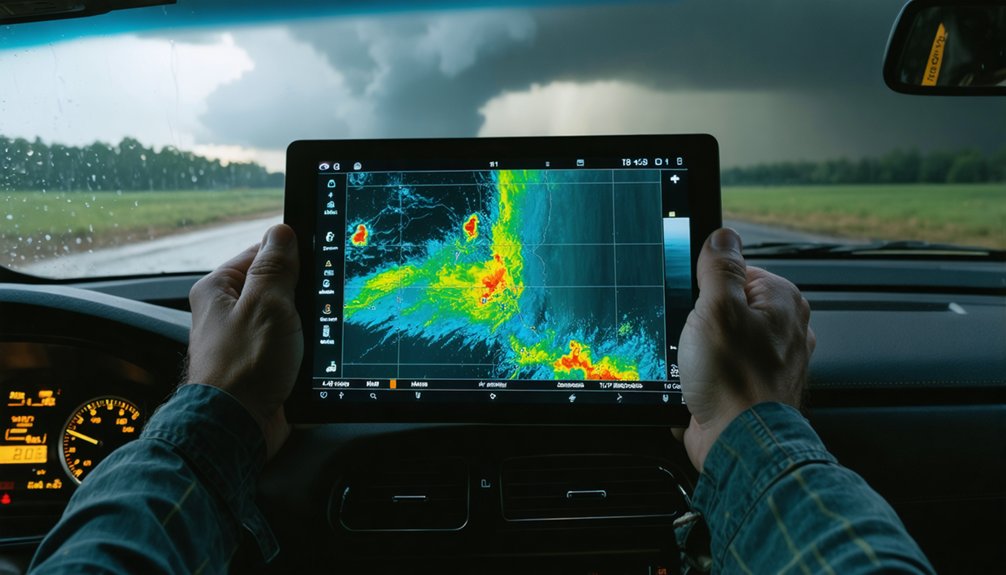
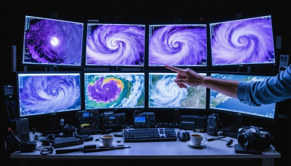
When predicting storm formations, your best options depend on forecast timing and storm type. ECMWF leads in synoptic-scale track accuracy, while NAM sharpens mesoscale detail within 48 hours. ECMWF’s 50-member ensemble and GEFS’s 30-member ensemble quantify uncertainty through probability spreads. AI models like FengWu, GraphCast, and FuXi are increasingly competitive beyond Day 10, with FengWu ranking first in RMSE and ACC metrics. Each section below breaks down exactly when and why each model performs best.
Key Takeaways
- ECMWF consistently delivers the strongest track accuracy among global models, making it a top choice for storm formation prediction.
- Regional models like NAM provide critical mesoscale detail, excelling at storm initiation signals within 48-hour windows.
- Ensemble systems, such as ECMWF’s 50-member and GEFS’s 30-member, quantify forecast uncertainty through probability spread analysis.
- AI models like FengWu and GraphCast are increasingly competitive, particularly for rapid-genesis events and forecasts beyond Day 10.
- Combining global, regional, ensemble, and AI models removes individual blind spots and improves overall storm formation assessment.
Why Storm Formation Forecasting Is So Hard to Get Right
Storm formation forecasting is hard to get right because the atmosphere operates across scales that no single model captures perfectly. Tropical moisture distribution shifts rapidly, and small errors in humidity fields compound over time, degrading track and intensity guidance before a storm even organizes.
Atmospheric oscillations like the MJO modulate convective activity across weeks, introducing low-frequency uncertainty that deterministic models struggle to resolve consistently.
You’re dealing with a system where boundary layer feedbacks, sea surface temperatures, and upper-level wind shear interact nonlinearly. Even high-skill models like ECMWF show degraded performance when genesis depends on subtle triggers.
Ensemble spread quantifies some of that uncertainty, but no method eliminates it. Recognizing these limitations helps you interpret model guidance more accurately rather than treating any single output as definitive.
How Global Models Like ECMWF and GFS Frame the Big Picture
When you’re trying to understand where a storm system might develop or track over the next several days, global models like ECMWF and GFS are your primary tools for reading large-scale atmospheric structure.
Both models ingest massive observational datasets through data assimilation, translating real-time atmospheric measurements into initial conditions that drive atmospheric dynamics forward in time.
ECMWF consistently demonstrates stronger track skill than GFS in operational comparisons, making it the preferred reference for medium-range storm guidance.
GFS remains widely used and freely accessible, offering solid synoptic-scale context despite higher track errors in some evaluations.
Neither model should be read in isolation—comparing their output reveals where large-scale pattern agreement is strong and where forecast uncertainty demands additional ensemble or regional guidance before drawing conclusions.
How Ensemble Systems Turn Single Forecasts Into Probability Maps
A single deterministic run from ECMWF or GFS gives you one possible atmospheric trajectory, but that single solution carries no information about how confident the model actually is. Ensemble systems solve that problem by running multiple perturbed members simultaneously. ECMWF’s ensemble uses 50 members; GEFS uses 30.
When you apply ensemble calibration, you’re correcting for systematic biases across those members, sharpening the reliability of the output. Probability mapping then converts member spread into actionable storm-track and intensity probabilities.
Tight clustering signals high confidence; wide spread signals the opposite. During early genesis stages, that spread tells you when to hold a forecast loosely.
Consensus across ensemble members consistently outperforms any single deterministic run, giving you a statistically grounded basis for storm-formation decisions rather than one model’s best guess.
How Regional Models Like NAM Sharpen Short-Range Storm Signals
Where global models like ECMWF and GFS provide broad synoptic context, regional models like NAM sharpen that picture down to the mesoscale detail that actually drives short-range storm initiation.
You’re working with finer grid spacing that resolves boundary interactions—moisture convergence zones, outflow boundaries, terrain-induced lift—that coarser global output simply smooths over.
NAM also captures microphysical processes more precisely, improving depiction of ice nucleation, precipitation efficiency, and convective updraft structure within developing storm cells.
That resolution advantage matters most inside 48 hours, where subtle trigger placement determines whether convection fires or stalls.
You’ll get stronger signal on storm initiation corridors when you layer NAM output over global model context, letting regional guidance confirm or challenge the large-scale setup your ensemble analysis already identified.
Which AI Storm Prediction Models Are Operational Right Now?
Regional models sharpen your short-range picture, but AI systems are now operating alongside dynamical guidance at the operational level—and they’re competitive enough that the NHC formally lists them in its track and intensity model suite. You’ll find GAIO/GAII, EGMN/EGMI, EAIO/EAII, and EAMN/EAMI among the NHC’s active guidance tools.
AI systems aren’t just experimental—they’re listed in the NHC’s official track and intensity model suite.
These systems ingest large reanalysis datasets, real-time observational inputs, and satellite imagery to generate rapid, high-skill forecasts.
FengWu led five global AI models in Western Pacific evaluations using RMSE and ACC scoring, outperforming FuXi, GraphCast, and Pangu-Weather.
AIFS-ECMWF and AI-GFS also provide operational track and intensity guidance.
As climate variability increases forecast complexity, AI models offer you an independent, fast-cycling layer of storm prediction that complements—not replaces—your ensemble and dynamical model workflow.
How FengWu, GraphCast, and FuXi Rank Against Each Other
When comparing AI model performance, you’ll find FengWu ranks first among five global AI systems evaluated over Eastern Asia and the Western Pacific.
It outperforms competitors on both RMSE and ACC metrics.
FuXi and GraphCast follow in second and third place, while Pangu-Weather ranks last in that same study.
For storm-track prediction specifically, FengWu led performance across 11 western North Pacific typhoons in 2023, posting the best results in four individual cases.
AI Model Performance Rankings
Among the AI models evaluated for storm prediction, FengWu leads the ranking based on RMSE and ACC scores across Eastern Asia and the Western Pacific. It outperformed FuXi and GraphCast, which ranked second and third respectively, while Pangu-Weather placed last among the five models assessed.
Historical case studies of 11 western North Pacific typhoons in 2023 confirmed FengWu’s edge, with it leading track prediction in four individual cases.
As climate change intensifies storm variability, you need models that adapt quickly to shifting atmospheric baselines. FuXi and GraphCast still offer competitive performance and shouldn’t be dismissed from your workflow.
Model selection should reflect verified skill metrics rather than brand recognition, giving you a data-backed foundation for accurate, independent storm formation assessments.
Storm Track Prediction Accuracy
How closely these three AI models track a storm’s actual path separates reliable operational tools from secondary references. When you examine historical case studies from the 2023 Western Pacific typhoon season, FengWu leads—it outperformed competitors in four individual storm-track cases across eleven tracked typhoons.
GraphCast followed in second, with FuXi ranked third. These distinctions matter operationally because track error compounds over time, shifting landfall projections by hundreds of kilometers.
You can’t ignore climate impact either. As sea surface temperatures shift long-term baselines, models trained on older reanalysis data may underperform in novel thermal environments. FengWu’s training architecture appears more resilient to these shifts based on current evaluations.
Use track rankings as living references, not fixed hierarchies—model performance updates as atmospheric conditions and training datasets evolve.
Statistical Storm Models That Hold Their Own Against AI

Statistical models haven’t been pushed aside by AI—they’ve held competitive ground in specific forecasting windows. When you examine short-term hurricane trajectory prediction, LSTM-RNN models outperformed other neural network approaches up to 12 hours. The M2M2 model posted mean 6-hour errors of 34.2 km and 30 km across validation and test storms—precision that rivals newer systems.
Statistical frameworks like LGEM leverage data assimilation techniques and empirical predictors, including ocean heat content and environmental variability, to isolate relationships that dynamical models sometimes miss.
Statistical frameworks like LGEM uncover relationships that dynamical models often overlook through empirical predictors and data assimilation.
Historical case studies confirm these methods retain strong skill when atmospheric conditions fall within well-sampled training distributions. You shouldn’t dismiss statistical guidance simply because AI generates headlines.
In defined forecast windows, statistical models deliver measurable accuracy that keeps them operationally relevant.
Why Model Combinations Catch What Single Storm Models Miss
No single model captures the full atmospheric picture, and that gap is where multi-model combinations earn their keep. Every system carries model limitations rooted in resolution, physics parameterization, or training data boundaries.
ECMWF delivers strong synoptic-scale track skill, but NAM closes the gap on mesoscale boundary placement.
GEFS and ECMWF ensembles quantify uncertainty where deterministic runs project false confidence.
AI systems like FengWu and GraphCast accelerate guidance, yet they perform best when cross-checked against dynamical output.
Data integration across global, regional, ensemble, and AI platforms removes blind spots no individual model can self-correct.
When multiple independent systems converge on the same storm signature, confidence rises.
When they diverge, that spread signals low predictability, giving you actionable information before committing to a forecast.
Which Storm Prediction Model Should You Trust and When?

When you’re choosing a model, timing determines everything: ECMWF and GFS give you the strongest synoptic pattern recognition several days out, while NAM delivers higher-resolution mesoscale detail within shorter lead times where fine-grid precision outweighs global context.
Once forecast confidence drops and ensemble spread widens, you’ll extract more skill from GEFS or ECMWF ensemble clustering than from any single deterministic run.
Storm type also shapes your model hierarchy, since tropical cyclone tracks benefit from AI systems like FengWu and GraphCast, while convective storm initiation demands regional model output to resolve boundary placement and localized instability.
Model Strengths By Timeframe
Choosing the right model depends heavily on your forecast lead time, because each system’s strengths map directly onto specific ranges. Match your data sources to the window you’re forecasting:
- Day 1–2: NAM delivers high-resolution mesoscale detail, capturing boundary placement and convective triggers your global models miss.
- Day 3–5: GFS and ECMWF provide reliable synoptic structure, with ECMWF showing consistently lower track error.
- Day 6–10: ECMWF ensemble and GEFS spread reveal model limitations clearly, showing where forecast confidence collapses.
- Beyond Day 10: AI models like FengWu and GraphCast increasingly compete with traditional global systems, offering rapid probabilistic guidance at extended ranges.
Cross-referencing ensemble clustering with deterministic output at each window sharpens your formation assessment considerably.
When Ensembles Beat Single Models
Matching your model to a forecast window gets you only so far—once you’ve identified the right timeframe, you still need to decide whether a single deterministic run or an ensemble system gives you more reliable guidance.
Historical case studies consistently show ensembles outperforming deterministic runs when atmospheric initial conditions carry high uncertainty, particularly during early genesis stages. ECMWF’s 50-member ensemble and GEFS’s 30-member output let you quantify forecast spread rather than trust a single trajectory.
When ensemble clustering is tight, confidence rises. When spread is wide, you’re dealing with a genuinely uncertain system—no single run resolves that.
Model calibration also matters here; well-calibrated ensembles translate spread into accurate probability estimates, giving you decision-relevant data instead of false precision from one deterministic solution.
Matching Models To Storm Type
Different storm types expose different model strengths, so trusting the right guidance means aligning your model choice with the physical processes driving the storm.
- Tropical cyclones — Lean on ECMWF and ensemble clustering; historical case studies confirm stronger track skill over GFS across multiple seasons.
- Mesoscale convective systems — NAM’s high-resolution grid captures boundary placement and localized instability that global models smooth over.
- Extratropical cyclones — GFS and ECMWF together provide synoptic context, with ensemble spread flagging uncertainty tied to climate variability patterns.
- Rapid-genesis events — AI models like FengWu and GraphCast deliver fast, competitive guidance when initialization speed matters most.
Match your model to the storm’s dominant physics, and you’ll extract maximum predictive value from every available guidance system.
Frequently Asked Questions
How Often Are Storm Prediction Models Updated With New Forecast Data?
You’ll find global models like GFS and ECMWF update every 6 hours, ingesting fresh satellite imagery and observational data to drive continuous model calibration, keeping your storm formation forecasts analytically sharp and operationally current.
Can Storm Prediction Models Forecast Tornadoes as Accurately as Hurricanes?
You’ll find tornado accuracy markedly lower than hurricane comparison benchmarks. Tornadoes demand hyper-local, short-range resolution that regional models struggle to match, while hurricanes offer larger spatial signatures that global and ensemble systems track more reliably.
What Ocean Data Sources Feed Into Global Storm Formation Models?
Endless streams of satellite imagery and ocean temperature data fuel global storm models. You’ll find sea surface readings, heat content profiles, and buoy measurements actively powering ECMWF and GFS predictions for accurate storm-formation analysis.
Do Storm Models Perform Differently During El Niño Versus La Niña Years?
Yes, storm models do perform differently. El Niño impacts suppress Atlantic activity, shifting model skill toward Pacific tracks. La Niña effects enhance Atlantic genesis, where you’ll notice ensemble spread widens and forecast uncertainty increases considerably.
Are Any Storm Prediction Models Available for Free Public Access?
“Knowledge is power”—you can freely access GFS, GEFS, and NAM outputs via NOAA, alongside satellite imagery and climate variability tools. ECMWF’s AIFS also offers public access, empowering your independent storm formation analysis.
References
- https://www.facebook.com/mikesweatherpage/posts/many-ask-what-models-perform-the-best-during-hurricane-season-looking-at-some-mo/1407629387387061/
- https://www.sciencedirect.com/science/article/abs/pii/S1463500323000203
- https://www.nssl.noaa.gov/education/svrwx101/thunderstorms/forecasting/
- https://www.reddit.com/r/meteorology/comments/1emasf6/hi_meteorologists_how_do_you_predict_the_path/
- https://www.facebook.com/groups/476274159411304/posts/2171051236600246/
- https://nvlpubs.nist.gov/nistpubs/TechnicalNotes/NIST.TN.2167.pdf
- https://crazystormchasers.com/climate-models-for-storm-formation-prediction/
- https://www.nature.com/articles/s41612-024-00769-0
- https://www.nhc.noaa.gov/modelsummary.shtml
- https://crazystormchasers.com/maximizing-accuracy-in-predicting-storm-formations/