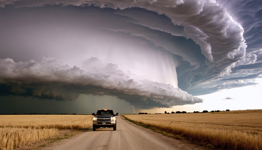
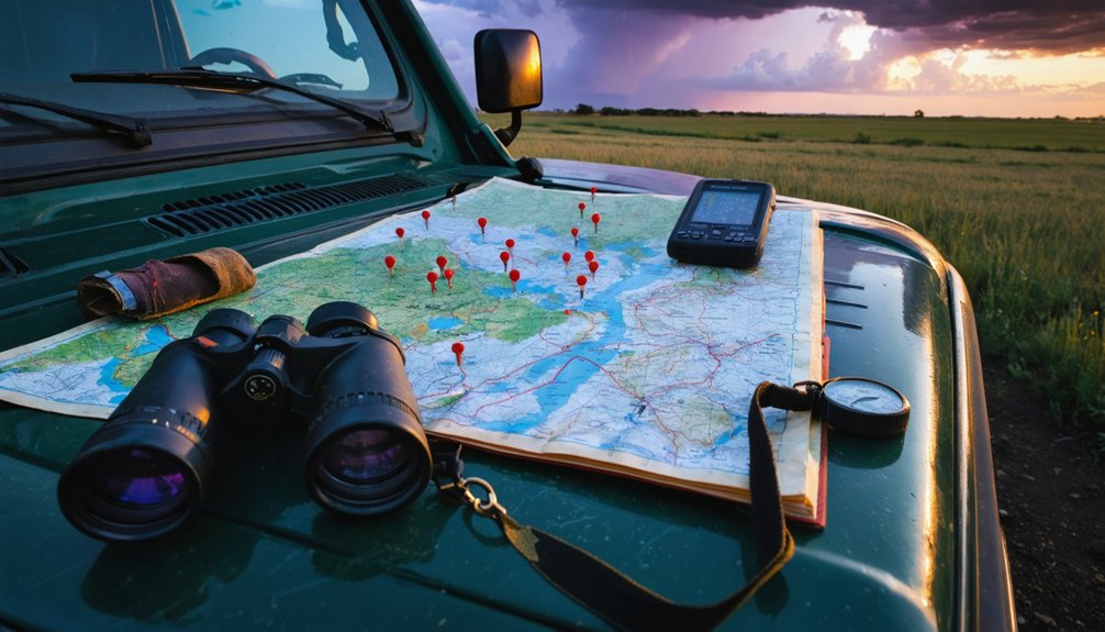
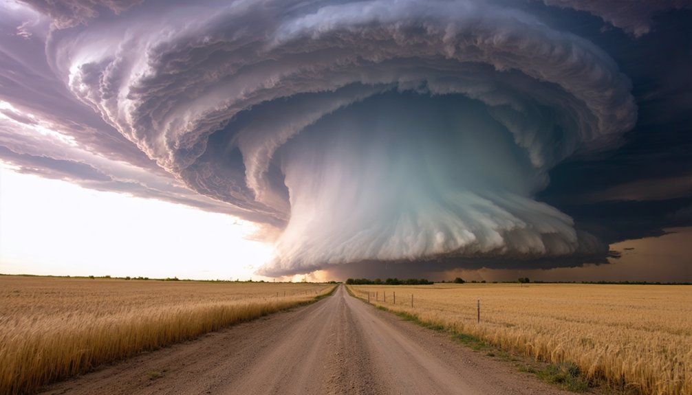
Colorado’s eastern plains deliver the best supercell opportunities in the state, particularly along the Fort Morgan, Sterling, Wray, and Yuma corridor anchored by I-76 and I-70. You’ll find discrete, well-organized storms with long sightlines, minimal terrain disruption, and consistent moisture boundaries that drive rapid storm development. The Palmer Divide reliably initiates convection, while southeast Colorado stretches to the New Mexico border offer productive supercell tracks. Every target zone has specific setups, boundaries, and road strategies worth knowing.
Key Takeaways
- The Fort Morgan, Sterling, Wray, and Yuma corridor consistently produces discrete supercells with concentrated tornado, large hail, and damaging wind threats.
- I-70 east of Denver, particularly beyond Limon, offers a high-density severe storm corridor with strong terrain-driven storm organization.
- The Palmer Divide reliably initiates supercells through terrain-forced lift, moisture convergence, and boundary interactions along the Colorado Springs-Trinidad axis.
- Southeastern Colorado from Lamar to the New Mexico border produces organized supercells tracking northeast across flat, visibility-friendly terrain.
- Surface dewpoint gradients, wind shift lines, and RAP/HRRR mesoanalysis tools help identify convergence zones where supercell development is most likely.
Why the Eastern Plains Beat Every Other Colorado Chase Zone
When you’re targeting supercells in Colorado, the eastern plains aren’t just the best option—they’re the only option that consistently delivers. The Fort Morgan, Sterling, Wray, and Yuma corridor produces discrete supercell setups repeatedly, anchored by the I-76 and I-70 corridors where tornado, large hail, and damaging wind threats concentrate.
You’re free from urban influence that disrupts boundary identification and storm inflow. Mountain interactions along the Front Range confluence zone feed organized convection eastward, but the plains are where discrete structure actually matures.
The plains strip away urban noise—pure boundary clarity, unobstructed inflow, and discrete storm structure that actually matures.
Long sightlines across open terrain let you read rotation, storm-base features, and wall clouds without obstruction. Limon, Lamar, and Fort Morgan serve as reliable repositioning pivots.
Monitor moisture pooling and convergence carefully—that’s what separates productive setups from busted chases out here.
Reading Colorado’s Moisture Boundaries and Convergence Zones Before You Chase
Before you commit to a target, you need to identify where moisture boundaries are setting up across the eastern plains—look for surface dew point gradients, outflow boundaries on radar, and any terrain-driven convergence near the Palmer Divide.
Once you’ve spotted those signals, watch for low-level wind shift convergence zones that concentrate lift and dramatically increase supercell potential along corridors like I-70 and I-76.
Your positioning timing has to match boundary evolution, so factor storm motion vectors early and use pivots like Limon or Fort Morgan to keep yourself ahead of the play.
Identifying Key Moisture Boundaries
Moisture boundaries in eastern Colorado don’t announce themselves, so you’ll need to read several data layers simultaneously to locate them before you chase. Boundary interactions near the Palmer Divide and northeastern plains often determine whether a storm becomes a supercell or collapses.
Watch moisture pooling carefully — it shifts fast across open terrain.
Three data layers to cross-reference before committing to a target:
- Surface dewpoint gradients — look for sharp 5°F+ shifts across short distances on mesoanalysis charts
- Wind shift lines — identify convergence using surface observation networks and RUC/RAP model output
- Visible satellite imagery — track cumulus development along boundaries in real time
Combining these layers gives you the positional edge you need to intercept the right storm.
Spotting Convergence Zone Signals
Convergence zones in eastern Colorado often leave fingerprints across multiple data sources before a single storm fires, and learning to read those signals together is what separates a well-timed intercept from a wasted drive.
Watch surface wind fields for tight directional shifts across the Palmer Divide and northeastern plains near Sterling and Fort Morgan. Those shifts indicate where storm inflow will concentrate and where wind shear will tighten into a favorable hodograph.
Cross-reference surface obs with RAP or HRRR mesoanalysis to confirm moisture pooling along boundaries stretching from Castle Rock toward Lyman. When boundary placement aligns with backed surface winds and deepening moisture, you’ve identified a legitimate convergence signal.
Prioritize those intersections over any single data point, and position yourself early along I-70 or I-76 before initiation.
Timing Your Chase Positioning
Use your storm chasing gear to monitor these three timing triggers before locking in:
- Surface dewpoints rising above 50°F east of Limon signals moisture pooling is active.
- Mid-level wind profiles sharpening after 1800Z indicate increasing shear across the northeastern plains.
- Visible satellite showing cumulus towers erupting along convergence boundaries near Fort Morgan or Sterling confirms lift is occurring.
Don’t position early. Let the atmosphere confirm its hand, then move decisively toward your target.
Northeastern Colorado’s Supercell Hotspot: Sterling, Fort Morgan, and Wray
Among the most reliable supercell corridors in Colorado, the northeastern plains stretch encompassing Sterling, Fort Morgan, Wray, and Yuma. This area consistently produces discrete and high-precipitation supercells capable of tornadoes, very large hail, and damaging wind gusts.
The I-76 and I-80 corridors anchor this zone, giving you efficient repositioning options as storms mature and track eastward.
Watch for moisture pooling across the open terrain, where dewpoints can spike sharply ahead of approaching boundaries. Boundary interactions in this region frequently trigger rapid storm organization, accelerating the shift from convective initiation to structured supercell.
Fort Morgan serves as a reliable central anchor, while Wray and Yuma offer southeastern leverage when storm motion trends that direction.
This corridor demands respect — it’s one of Colorado’s most productive severe weather environments.
The I-70 Corridor: Colorado’s Highest-Concentration Severe Storm Track
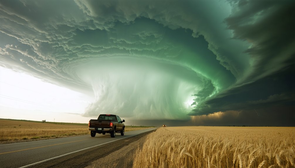
Few corridors in Colorado concentrate severe storm risk as efficiently as I-70 east of Denver, where open terrain, strong boundary interactions, and moisture convergence repeatedly combine to produce discrete supercells.
Altitude effects diminish east of Limon, giving storms room to fully organize before reaching you. Pack your storm chasing gear accordingly—long sightlines reward optical and video setups here.
Your three priority anchors along this corridor:
- Limon – A reliable pivot point where storm motion and road access align for quick repositioning.
- Fort Morgan – Consistent supercell initiation zone with strong boundary interactions.
- Lyman – A convergence-zone target where moisture pooling frequently triggers isolated, photogenic supercells.
Own your position early. This corridor moves fast, and hesitation costs you the storm.
The Palmer Divide: Colorado’s Most Reliable Storm Initiation Zone
The Palmer Divide functions as one of Colorado’s most consistent storm initiation triggers, where terrain-forced lift combines with low-level moisture convergence to repeatedly produce discrete supercells. This topographic influence creates a natural convergence boundary stretching from Castle Rock toward Lyman along the divide’s northern flank.
When surface moisture pools against this terrain feature, you’ll find storm rotation developing earlier and more aggressively than on the open plains farther east. Position yourself along the Denver–Colorado Springs corridor to monitor boundary interactions that favor isolated supercell development.
South Denver setups benefit directly from divide-enhanced convergence, giving you cleaner storm structure and better sightlines. Target the divide when moisture return is sufficient and upper-level support aligns, because this terrain corridor consistently delivers organized, photogenic supercells worth the repositioning effort.
The Colorado Springs to Trinidad Axis: Mountain Outflow and Plains Supercells
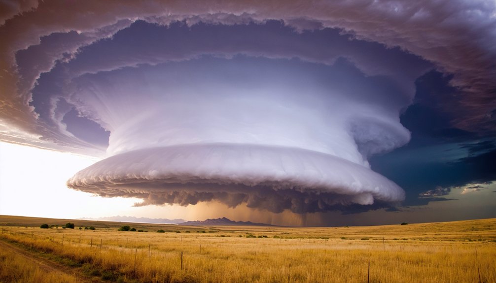
Stretching from Colorado Springs south to Trinidad, this corridor functions as a critical shift zone where mountain outflow boundaries collide with plains inflow, producing well-organized supercell structure.
When mountain boundaries interact with pooling Gulf moisture, isolated discrete supercells can develop rapidly along this axis. You’ll want to monitor:
- Pueblo–Colorado Springs corridor – storms here often intensify as they exit terrain influence and access deeper moisture pooling.
- Just north of Trinidad – a productive initiation zone where mountain outflow boundaries sharpen storm organization.
- Transition-zone positioning – stationing yourself between I-25 exits lets you reposition efficiently as storms mature.
This axis rewards disciplined target selection. Track boundary placement, watch moisture pooling depth, and commit early. The terrain does the forcing—you just need to read it correctly.
Southeast Colorado’s Supercell Zone: Lamar to the New Mexico Border
Moving south and east from the Trinidad axis, southeast Colorado opens into one of the most underrated supercell corridors in the state. Targeting the Lamar area gives you access to storms developing near the New Mexico border and tracking northeast across open, unobstructed terrain. That flat geometry lets you read cloud base dynamics clearly — you’ll catch lowerings, wall clouds, and inflow bands without terrain interference.
Localized wind shear increases as boundary placement shifts moisture northward, often producing discrete, well-organized supercells with strong rotational signatures. The Lamar-to-Trinidad region rewards chasers who monitor surface boundaries closely.
When mountain influence and moisture pooling align along this corridor, you get isolated storm structures with long observation windows and minimal repositioning demands — exactly the conditions that maximize your chase efficiency.
Which Roads Keep You in Position When Eastern Plains Storms Move Fast
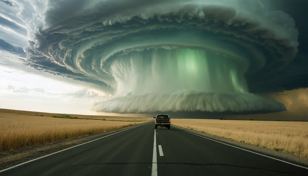
When eastern plains storms accelerate northeast at 40–55 mph, I-70 gives you the speed and east-west range to stay ahead of the forward flank without burning time on secondary roads.
The county road grid in northeastern Colorado — typically spaced one mile apart — lets you shift north or south quickly to maintain your viewing angle on the mesocyclone.
If a storm’s motion forces a decision point, Limon works as a reliable pivot, giving you access to I-70, US-40, and US-287 within minutes.
I-70 East Speed Advantage
Eastern plains supercells can outrun poorly positioned chasers fast, and I-70 east is your primary speed corridor for keeping pace. Terrain influence from the Front Range helps extend storm longevity, giving you a window to reposition before structure collapses.
Use I-70 east strategically with these three priorities:
- Limon as your pivot point — it connects south via US-287 and north via US-71, giving you maximum lateral flexibility without backtracking.
- Monitor storm motion vectors early — storms moving northeast at 40–50 mph require you to run parallel, not chase from behind.
- Exit ramps are decision gates — each exit buys you a repositioning option; commit too late and you’re behind the meso permanently.
Stay ahead, stay mobile.
County Roads Grid System
Colorado’s eastern plains county road grid runs on a near-perfect one-mile spacing system, and that regularity is your greatest asset when a supercell is moving northeast at 45 mph. You can calculate lateral jumps precisely—one road east equals one mile, giving you predictable repositioning math in real time.
When storm tracking demands a quick angle adjustment near Fort Morgan or Yuma, you’re not guessing; you’re executing. The flat terrain features of the northeastern plains eliminate blind spots, so every road choice delivers an unobstructed sightline to the storm base.
Run north-south roads to pace the storm, then cut east on numbered county roads to close distance. This grid hands you genuine freedom—no dead ends, no forced retreats, just clean options moving at your speed.
Storm Pivot Using Limon
That county road grid pays off most when you’ve got a hub like Limon anchoring your positioning math. Sitting at the I-70 and US-24 intersection, Limon lets you redirect east, northeast, or southeast within minutes as storm base position shifts.
Three moves that keep you in play:
- East on I-70 toward Flagler — tracks northeast-moving supercells without losing storm rotation visibility.
- North on US-71 toward Brush — repositions you under discrete cells pushing toward Fort Morgan.
- South on US-71 toward Eads — intercepts southward-drifting storm base when moisture pooling favors the Lamar corridor.
You’re not chasing blind here. Limon gives you three clean vectors, open sightlines, and enough road density to stay aggressive without boxing yourself in.
Frequently Asked Questions
What Months Offer the Highest Supercell Frequency Across Colorado’s Eastern Plains?
You’ll find supercell frequency peaks during May and June across Colorado’s eastern plains. These are your peak storm months, when strong wind shear, instability, and moisture converge, maximizing your chances of intercepting classic, discrete supercells.
Do Colorado Supercells Produce More Tornadoes or Large Hail on Average?
Sure, tornadoes steal headlines, but hail size wins statistically. Colorado supercells produce large hail far more often than tornadoes. Tornado statistics confirm you’ll encounter golf ball-plus hail considerably more frequently across the northeastern plains than any twister.
Are Storm Chasing Tours Available for Beginners in Eastern Colorado?
Yes, you’ll find beginner storm chasing tours operating across eastern Colorado’s supercell corridors. They’ll equip you with proper chasing gear, enforce storm safety protocols, and guide you through high-probability target zones like Fort Morgan and Sterling.
What Weather Apps Do Experienced Colorado Storm Chasers Rely on Most?
Over 80% of experienced chasers rely on RadarScope for radar technology precision. You’ll also use MyRadar and PocketWx to maintain safety protocols while tracking supercells across Colorado’s eastern plains independently and effectively.
Is a Spotter Certification Required Before Chasing Storms in Colorado?
You don’t face legal requirements mandating spotter certification before chasing in Colorado. However, storm safety improves markedly if you complete SKYWARN training—it sharpens your situational awareness, hazard recognition, and decision-making under rapidly evolving supercell conditions.
References
- https://www.quincyvagell.com/guide-eastern-colorado/
- https://www.reddit.com/r/meteorology/comments/1tnfh8k/approaching_a_supercell_in_eastern_colorado/
- https://www.youtube.com/watch?v=pwucXadi3SI
- https://www.youtube.com/watch?v=gThndL0SQdM
- https://www.youtube.com/watch?v=Je-FGlE7xD0
- https://www.youtube.com/watch?v=Kl7BEPdsX1s
- https://www.youtube.com/watch?v=L7pOt9Su8fA