A tornado outbreak hits when you’re looking at 10 or more tornadoes within 24 hours, fueled by a precise convergence of moisture, instability, and wind shear. Warm, humid Gulf air collides with cool, dry Rocky Mountain air, forcing violent uplift. Dewpoints above 60°F, temperature drops near 30°F per mile, and wind shear exceeding 50 mph transform ordinary storm clusters into sustained, multi-tornado environments. The deeper science behind each ingredient reveals exactly why some outbreaks become catastrophic.
Key Takeaways
- Tornado outbreaks occur when 10 or more tornadoes develop within 24 hours, driven by large-scale atmospheric conditions favoring multiple severe thunderstorms.
- Warm, moist Gulf air colliding with cool, dry Rocky Mountain air creates extreme instability, forcing rapid uplift and explosive storm development.
- Dry lines separating hot, dry air from moist Gulf air act as primary triggers, launching supercell thunderstorms capable of violent tornadoes.
- Wind shear exceeding 50 mph organizes storms into supercells, tilting horizontal rotation vertically to form tornado-producing mesocyclones 1–6 miles wide.
- Outbreaks peak April through June along the southern High Plains, particularly across Texas, Oklahoma, Kansas, and Tennessee.
What Actually Defines a Tornado Outbreak?
When does severe weather cross the threshold from an isolated event into something far more significant? Meteorologists define a tornado outbreak as 10 or more tornadoes occurring within roughly a 24-hour period. That’s not an arbitrary number — it reflects atmospheric conditions so broadly established that cloud formation and precipitation patterns scale across entire regions simultaneously.
You’re no longer dealing with a single storm’s quirks. Instead, you’re watching a coordinated atmospheric system sustain multiple severe thunderstorms across hundreds of miles. The conditions driving each tornado — moisture, instability, shear, and forcing — remain intact long enough to repeat the process again and again.
Understanding this distinction matters because outbreaks demand different forecasting approaches, different emergency responses, and a sharper awareness of how large-scale atmospheric dynamics can override localized weather patterns entirely.
What Core Ingredients Does a Tornado Outbreak Need to Start?
To trigger a tornado outbreak, you need four core atmospheric ingredients working in concert: moisture, instability, vertical forcing, and wind shear.
Warm, humid Gulf air supplies the fuel, while rapid temperature decreases with height — up to nearly 30°F per mile — create the buoyant instability that drives powerful updrafts.
Wind speeds shifting over 50 mph across similar vertical depths generate the shear that transforms ordinary thunderstorms into rotating supercells capable of producing multiple tornadoes.
Essential Atmospheric Fuel Sources
Before a single tornado touches down, four core atmospheric ingredients must align: moisture, instability, a lifting mechanism, and wind shear.
Warm, humid Gulf air near the surface supplies the essential moisture that fuels updrafts and drives cloud formation. Without it, thunderstorms simply don’t sustain themselves.
Instability emerges from sharp temperature gradients, where temperatures drop nearly 30°F per mile vertically. That contrast makes surface air buoyant, accelerating it upward with tremendous force.
A lifting mechanism, whether a front, dry line, or low-pressure system, then triggers that ascent.
Wind shear completes the equation. When wind speed or direction changes with height by over 50 mph, rotating updrafts develop.
You need all four ingredients present simultaneously, or outbreak conditions never materialize.
Wind Shear And Instability
Wind shear and instability don’t just contribute to tornado outbreaks—they’re the mechanical engine that drives supercell development. When wind speeds change by over 50 mph across just a few miles of atmospheric depth, horizontal spinning air currents form.
Rising updrafts tilt those currents vertical, initiating the mesocyclone rotation that defines dangerous supercells.
Instability amplifies everything. Temperature gradients dropping nearly 30°F per mile create violently buoyant air that accelerates upward with tremendous force.
That rapid ascent fuels towering cloud formations, pushing storm tops deep into the upper atmosphere.
Together, shear and instability create a self-reinforcing system. Shear organizes the storm’s rotation while instability powers its updraft.
Without both operating simultaneously at sufficient intensity, supercell development stalls—and outbreak conditions never materialize.
How Do Warm and Cold Air Masses Collide to Spark an Outbreak?
When warm, moist Gulf air collides with cool, dry air sweeping down from the Rockies, the two air masses don’t simply mix—they crash. The denser cold air wedges beneath the warm air, forming a sharp boundary that forces Gulf moisture upward rapidly. That forced ascent triggers cloud formation and intense precipitation patterns as condensation releases latent heat, accelerating updrafts further.
You’re watching two massive systems—one pulling warm, wet air from the southeast, another driving cold, dry air from the northwest—tear open the atmospheric boundary between them.
Cool air plunges toward the surface while hot air rockets skyward. That violent exchange happens simultaneously across hundreds of miles, creating the widespread, sustained severe weather conditions that define a true tornado outbreak.
Why Are Instability and Wind Shear the Deadliest Combination in Tornado Outbreaks?
Instability and wind shear don’t just contribute to tornado outbreaks—they multiply each other’s destructive potential. When temperature drops nearly 30°F per mile vertically, buoyant air rockets upward, fueling explosive cloud formation and intense lightning activity.
Add wind speeds shifting over 50 mph with height, and that rising air starts rotating.
Here’s why this combination dominates outbreak conditions:
- Instability alone creates powerful updrafts but disorganized storms.
- Wind shear alone reorganizes airflow but lacks sufficient energy to sustain rotation.
- Together, they produce supercells with mesocyclones spanning 1–6 miles across—the direct precursors to violent tornadoes.
You’re essentially watching two independent atmospheric forces lock together, transforming ordinary thunderstorms into structured, rotating engines capable of generating multiple long-tracked tornadoes across hundreds of miles.
How Do Supercells Form and Rotate During a Tornado Outbreak?
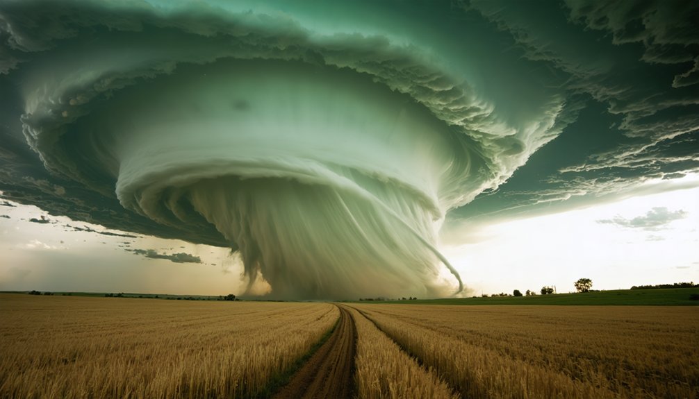
Supercells don’t form randomly—they require a precise atmospheric setup where instability and wind shear converge with enough intensity to sustain organized, rotating updrafts.
Supercells demand the perfect storm—instability and wind shear colliding with enough force to birth sustained, rotating updrafts.
Understanding supercell dynamics means recognizing how horizontal wind shear tilts into vertical rotation within the storm’s core. As wind speed and direction shift with height, the updraft ingests that rotating air, developing a mesocyclone spanning 1–6 miles across.
Rotation mechanisms intensify when the mesocyclone advances ahead of the main storm line, where temperature contrasts across the downdraft boundary sharpen dramatically.
On outbreak days, temperatures drop nearly 30°F per mile vertically while wind speeds shift over 50 mph across similar depths. That violent gradient fuels sustained rotation, giving supercells the structural coherence needed to repeatedly produce large, long-track tornadoes throughout an outbreak event.
How Does the Jet Stream Keep a Tornado Outbreak Alive?
Once a tornado outbreak’s initial ingredients—moisture, instability, and wind shear—get consumed by active thunderstorms, the jet stream steps in as the mechanism that replenishes and sustains the outbreak’s energy.
Historical outbreaks confirm this pattern repeatedly—storms don’t die when conditions deplete; they reload.
The jet stream sustains outbreaks through three critical functions:
- Energy transport — It delivers fresh atmospheric fuel along its flow path, replacing what storms consume.
- Forcing renewal — It maintains persistent lifting mechanisms, preventing storm collapse.
- Shear reinforcement — It continuously rebuilds wind speed differentials essential for rotation.
Tornado myths often suggest outbreaks end quickly—they don’t. When a powerful jet stream locks into position over a volatile air mass collision zone, it can keep dangerous conditions alive for 24+ hours.
How Do Dry Lines Trigger Tornado Outbreaks Across the Plains?
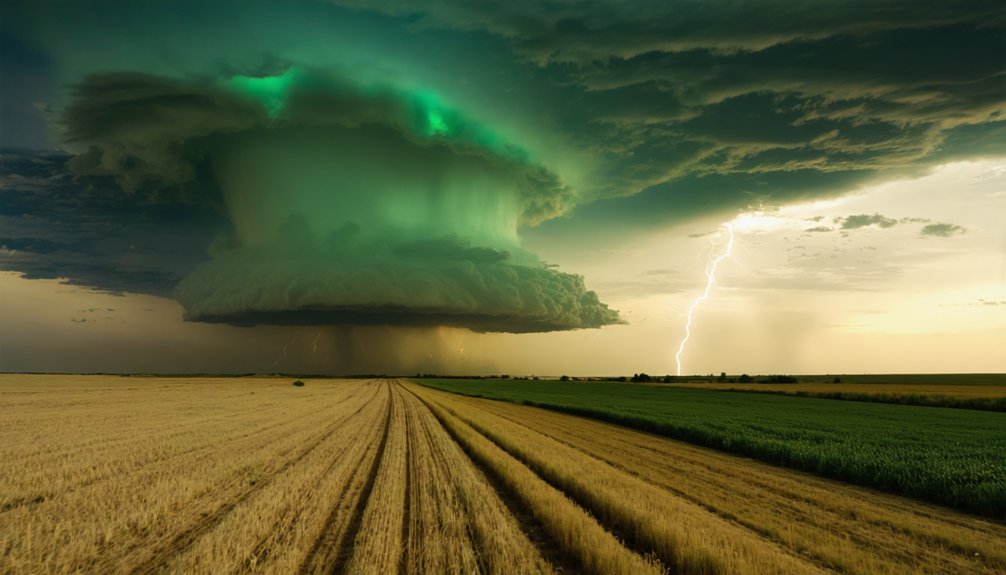
When you look at the Plains during late spring, you’ll find dry lines—sharp boundaries separating warm, moist Gulf air to the east from hot, dry air pushing in from the west. That moisture contrast, sometimes spanning a 30°F dewpoint difference across just a few miles, delivers the instability and fuel thunderstorms need to explode into supercells.
The Rocky Mountains and the region’s flat, open terrain amplify this setup by channeling unstable air southward into the Texas Panhandle, stacking the conditions that make widespread tornado outbreaks nearly inevitable.
Dry Line Formation Explained
Stretching from Texas northward into Kansas and Nebraska, the dry line acts as one of the most prolific tornado triggers across the Great Plains. It separates scorching, dry air pushing east from the Rockies against warm, moisture-laden Gulf air. That boundary creates explosive cloud formation and unpredictable rain patterns when conditions align.
Three key mechanics drive dry line outbreaks:
- Hot, dry air wedges over moist surface air, building intense instability vertically.
- Afternoon heating intensifies the boundary, sharpening the moisture gradient to critical thresholds.
- Lifting along the dry line launches supercell thunderstorms capable of producing violent tornadoes.
You’re looking at temperature drops near 30°F per mile and wind speed shifts exceeding 50 mph — conditions that turn a dry line into a tornado machine.
Moisture Contrast Fuels Storms
The dry line’s power comes from one thing: moisture contrast. On one side, you’ve got dewpoints in the 60s–70°F. On the other, single digits. That humidity gradient creates an unstable boundary where warm, moist Gulf air collides with hot, dry air from the west.
When the sun heats the surface, this contrast sharpens. The denser dry air undercuts the moist air, forcing it upward rapidly. That vertical lift triggers explosive convective development—fast, intense, and organized.
Storm longevity increases because the dry line continuously regenerates the atmospheric boundaries that fuel updrafts. You’re not dealing with a one-time collision. The gradient persists for hours, feeding multiple supercells sequentially.
That’s what transforms isolated severe weather into a full tornado outbreak across the Plains.
Plains Geography Amplifies Outbreaks
North America’s geography acts as a tornado factory, and the Plains sit at its most volatile intersection. The Rockies drive mountain influence directly into outbreak dynamics — stripping moisture from westward air, then funneling unstable dry flow southward into Texas and Oklahoma. When that collides with humid air pushing north from the Gulf, conditions ignite.
Three geographic factors amplify Plains outbreaks:
- Rocky Mountain slope flow accelerates unstable air into the Texas Panhandle
- Dry lines form sharp boundaries between Gulf moisture and desert heat
- Flat terrain allows air masses to travel unobstructed, maximizing collision zones
You’re looking at a natural pressure cooker. Late spring systems exploit every geographic advantage simultaneously, producing the sustained, multi-storm environments that define catastrophic outbreaks across the central Plains.
Where and When Do Tornado Outbreaks Hit Hardest?
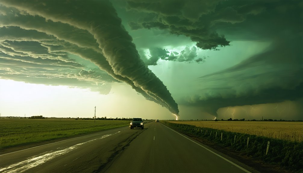
Across North America, tornado outbreaks hit hardest during late spring, when atmospheric conditions align most violently along the southern High Plains and into the central United States. You’ll find the highest concentration of outbreaks between April and June, when humidity levels peak across the Gulf Coast and warm, moist air surges northward.
Cloud formation accelerates rapidly along dry lines stretching from Texas into Kansas, where temperature drops nearly 30°F per mile vertically. Wind speeds shift over 50 mph within similar depths, creating the shear that drives rotation.
The corridor from Texas through Oklahoma, Kansas, and into Tennessee sees the most frequent, deadliest outbreaks. Conditions sustain multiple long-lived supercells simultaneously, making this geographic window the most statistically dangerous outbreak zone on Earth.
What Warning Signs Tell Forecasters a Tornado Outbreak Is Coming?
When you’re scanning for outbreak potential, two primary signals stand out: atmospheric instability and wind shear.
You can detect instability by measuring how quickly temperature drops with height—on high-risk days, you’ll often see decreases approaching 30°F per mile over several miles of depth.
Simultaneously, you track wind shear by identifying how dramatically wind speed and direction shift with altitude, with dangerous setups showing speed changes exceeding 50 mph over that same depth.
Atmospheric Instability Indicators
Forecasters rely on several measurable atmospheric signals to identify whether conditions favor a tornado outbreak before storms ever develop. Humidity levels near the surface, combined with rapidly falling temperatures aloft, create the instability that drives violent updrafts.
You can track these signals through three key indicators:
- Dewpoints exceeding 60°F signal sufficient low-level moisture to fuel explosive cloud formation and sustained updrafts.
- Temperature lapse rates approaching 30°F per mile confirm extreme instability, accelerating buoyant air vertically through the atmosphere.
- Wind speed changes exceeding 50 mph with height indicate strong shear capable of organizing rotation inside developing supercells.
When these three thresholds align simultaneously, forecasters treat outbreak conditions as credible threats requiring immediate public communication and enhanced storm surveillance.
Wind Shear Pattern Recognition
Wind shear completes the trio of outbreak precursors alongside moisture and instability, and it’s the ingredient forecasters analyze most carefully when timing and placement of an outbreak are at stake.
You’re looking for wind direction shifting from southerly at the surface to westerly or southwesterly at jet stream levels. That directional change, combined with speed increases exceeding 50 mph over just a few miles of atmospheric depth, tilts storm updrafts and drives rotation.
Watch precipitation patterns for organized hook-shaped radar signatures, which signal mesocyclone development.
Cloud formation also reveals shear’s influence — you’ll see anvil tops shearing downwind while the base remains stationary.
When hodographs show long, curved vectors, forecasters know the atmosphere is primed to sustain multiple rotating supercells simultaneously.
What Finally Brings a Tornado Outbreak to an End?
As the storms rage, they’re fundamentally consuming the very ingredients that created them—moisture, instability, forcing, and wind shear all get depleted as the outbreak progresses. Unlike tornado myths suggesting storms sustain indefinitely, historical outbreaks confirm they follow predictable termination patterns.
Storms devour their own fuel—moisture, instability, and shear collapse predictably, confirming no outbreak rages forever.
Three critical shutdown mechanisms occur:
- Moisture exhaustion — Gulf air supply gets cut off, starving updrafts of fuel
- Instability collapse — Temperature gradients flatten as the atmosphere stabilizes
- Shear degradation — Wind speed differentials drop below rotation thresholds
Once the jet stream energy moves past the region, storms lose their organizational support. Temperature decreases that once reached 30°F per mile normalize rapidly. Wind speed differentials exceeding 50 mph diminish, stripping supercells of rotational capacity. The atmosphere fundamentally resets, reclaiming equilibrium until conditions align again.
Frequently Asked Questions
Can Tornado Outbreaks Occur Outside of Traditional Tornado Alley Regions?
Yes, you’ll find tornado outbreaks exhibit significant regional variability, extending well beyond Tornado Alley. Geographic distribution data confirms outbreaks strike the Southeast, Great Lakes, and even coastal zones when moisture, instability, wind shear, and forcing align simultaneously.
Do Tornado Outbreaks Happen More Frequently During Certain Times of Day?
Yes, you’ll find tornado outbreaks follow diurnal patterns, with peak activity typically occurring between 4–9 PM local time, when daytime heating maximizes instability, moisture, and wind shear—the critical ingredients driving severe thunderstorm development and rotation.
How Do Tornado Outbreaks Differ in Intensity Between Individual Tornado Events?
You’ll find outbreak severity amplifies tornado clustering, as atmospheric conditions sustain multiple long-lived supercells simultaneously. Unlike individual events, outbreaks can produce 10+ tornadoes, with wind speeds exceeding 50 mph changes per vertical mile driving intensified, widespread destruction.
Can a Single Supercell Produce Multiple Tornadoes During One Outbreak?
Watch closely—yes, a single supercell can release multiple tornadoes through supercell dynamics, cycling through mesocyclones repeatedly. You’ll witness tornado clustering as each new rotation drops successive funnels, amplifying outbreak totals dramatically beyond what you’d initially expect.
Are Tornado Outbreaks Becoming More Frequent Due to Climate Change?
You’ll find that climate impact on tornado outbreaks remains scientifically debated. Weather variability makes definitive trends elusive, as current data doesn’t conclusively confirm increasing outbreak frequency, though atmospheric instability and moisture dynamics continue shifting under changing conditions.
References
- https://www.foxweather.com/learn/how-does-a-tornado-outbreak-happen
- https://www.accuweather.com/en/weather-news/whats-the-science-behind-tornado-outbreaks/432242
- https://www.nesdis.noaa.gov/about/k-12-education/severe-weather/what-causes-tornadoes
- https://www.reddit.com/r/explainlikeimfive/comments/1cg4dhr/eli5_what_causes_tornado_outbreaks/
- https://www.weather.gov/ffc/torntext
- https://www.youtube.com/watch?v=rkFZg170rlg
- https://www.nssl.noaa.gov/education/svrwx101/tornadoes/
- https://en.wikipedia.org/wiki/Tornado
- https://www.brownsvilletx.gov/289/What-Tornadoes-Are-What-Causes-Them
- https://sites.psu.edu/pmarkowski/how-tornadoes-form/



