A supercell thunderstorm is the most severe type of thunderstorm you’ll encounter, defined by a mesocyclone—a powerful rotating updraft driven by vertical wind shear. It can last several hours, travel hundreds of miles, and simultaneously produce tornadoes, baseball-sized hail, and straight-line winds exceeding 100 mph. Its self-sustaining rotation separates its updraft from its downdraft, keeping it organized and dangerous far longer than ordinary storms. Stick around, and you’ll understand exactly how this storm machine works.
Key Takeaways
- A supercell thunderstorm is a powerful, long-lasting storm defined by a mesocyclone, which is a large, rotating updraft at its core.
- They form when vertical wind shear tilts horizontal atmospheric spin upward, creating the rotation that drives the entire storm system.
- Supercells can last several hours and travel hundreds of miles, far outlasting ordinary thunderstorms due to their self-sustaining circulation.
- They are extremely dangerous, producing large hail, violent tornadoes, and straight-line winds exceeding 100 mph simultaneously.
- Meteorologists identify supercells on Doppler radar through hook echoes and velocity couplets, which reveal the storm’s characteristic rotation.
What Exactly Is a Supercell Thunderstorm?
A supercell thunderstorm is a highly organized storm defined by one core feature: a mesocyclone, a deep, persistent rotating updraft that sets it apart from all other thunderstorm types.
It’s the least common major thunderstorm category, yet it’s consistently the most severe. Unlike ordinary storms, supercells can sustain themselves for several hours, sometimes traveling hundreds of miles across varied weather patterns without losing organization.
Storm formation depends heavily on moderate to strong vertical wind shear between the surface and roughly 20,000 feet. That shear tilts the storm structure, separating the updraft from the downdraft and allowing both to operate efficiently.
You’ll also need moisture, lift, and buoyancy. Size doesn’t define a supercell — rotation does. Whether large or compact, if it carries a mesocyclone, it’s a supercell.
How Wind Shear Turns a Storm Into a Supercell
When you picture wind shear, think of it simply as wind changing speed or direction as you move up in altitude.
That change in wind behavior between the surface and roughly 20,000 feet is the critical ingredient that separates a supercell from an ordinary thunderstorm.
As the updraft rises through those shifting winds, the horizontal spin generated by shear tilts into a vertical axis, giving the storm its defining rotation.
Wind Shear Defined Simply
Wind shear is the change in wind speed or direction with height, and it’s the single most critical ingredient that separates a supercell from an ordinary thunderstorm.
When wind patterns shift dramatically between the surface and 20,000 feet, they generate horizontal rotation in the atmosphere. A rising updraft then tilts that rotation into a vertical spin, birthing the mesocyclone that defines a supercell.
Atmospheric stability plays a direct role here. You need enough instability to fuel a powerful updraft while strong shear simultaneously organizes and tilts the storm.
Without adequate shear, the updraft collapses under its own downdraft. With it, the storm stays mechanically separated, sustaining itself for hours.
Wind shear isn’t just helpful — it’s the structural framework that gives a supercell its dangerous, long-lived identity.
Shear Creates Storm Rotation
Horizontal rotation is the hidden engine behind a supercell, and wind shear is what builds it. When wind speed and direction change with altitude, air between those layers begins rolling horizontally, like an invisible tube spinning parallel to the ground. That horizontal spin is embedded inside developing cloud formation as the updraft strengthens.
Once a powerful updraft tilts that spinning tube upright, rotation shifts from horizontal to vertical. You now have a mesocyclone.
This process directly controls storm intensity, organizing energy that ordinary storms waste into a disciplined, self-sustaining system. Without adequate wind shear, that vertical rotation never develops, and the storm collapses.
With it, you get a persistent rotating updraft capable of lasting hours and generating extreme hazards across hundreds of miles.
The Rotating Updraft That Makes Supercells Unique
Atmospheric instability fuels this rotating column, but wind shear organizes it. When vertical wind shear tilts the storm’s updraft, it isolates the updraft from the downdraft, allowing both to operate simultaneously without interfering with each other.
That separation is what keeps the storm alive for over an hour, sometimes several.
You can detect the mesocyclone on Doppler radar through its distinct rotational signature. Without this feature, a storm simply can’t sustain the organized structure that defines a true supercell.
The Mesocyclone, Anvil Top, and Downdrafts Explained
Once the mesocyclone forms, it doesn’t just keep the storm alive — it also shapes everything you see when you look at a supercell. The rotating updraft drives cloud formation upward, sometimes pushing past 50,000 feet and punching through the tropopause as an overshooting top.
At that altitude, the outflow spreads horizontally, creating the anvil-shaped top that makes supercells visually distinct.
Below that, two key downdrafts control the storm’s structure. The forward-flank downdraft wraps around the front of the storm, while the rear-flank downdraft descends along the back.
Together, they keep the updraft and downdraft separated, which is exactly why atmospheric stability doesn’t collapse the system. This organized separation is what lets a supercell sustain itself for hours and travel hundreds of miles.
How Doppler Radar Detects a Supercell
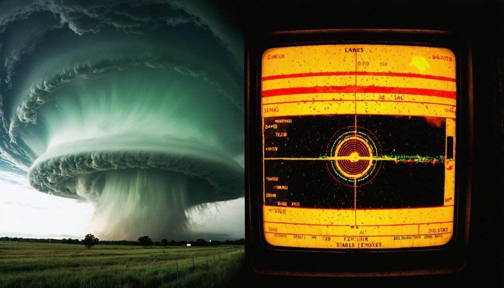
When you look at Doppler radar data, you can identify a supercell by its mesocyclone signature, which appears as a couplet of opposing wind velocities in close proximity.
Doppler velocity data shows you inbound and outbound winds side by side, indicating rotation within the storm’s updraft.
Meteorologists use this velocity couplet to confirm a mesocyclone is present and to assess its strength, size, and potential for producing severe weather.
Radar Detects Rotation
Doppler radar detects a supercell by measuring the velocity of precipitation moving toward or away from the radar beam. When rotation is present, you’ll see opposing velocity signatures side by side — one moving toward the radar, one moving away. This pattern confirms mesocyclone development and aids in storm tracking across hundreds of miles.
- Velocity couplet: A tight rotation signature where inbound and outbound winds appear adjacent on radar, indicating a mesocyclone.
- Reflectivity hook echo: A curved appendage in radar returns that signals rotating cloud formation wrapping around the storm’s core.
- Rotation depth: Meteorologists measure how deep the rotation extends vertically — deeper rotation signals stronger, more organized supercells.
These radar signatures give you real, data-backed confirmation that a supercell’s rotating updraft is active and potentially dangerous.
Mesocyclone Signature Identified
Radar velocity data gives you more than a general sense of storm movement — it lets you pinpoint mesocyclone formation with measurable precision.
When Doppler radar detects inbound and outbound velocities in close proximity within the same storm cell, that couplet confirms rotation. A gate-to-gate shear value exceeding 20 knots across a tight spatial distance signals a developing mesocyclone.
Meteorologists classify mesocyclone strength by rotational velocity, depth, and duration. Once rotating cloud features align with a confirmed velocity couplet on radar, forecasters can issue warnings with greater confidence and lead time.
The mesocyclone signature typically appears in the mid-levels first, then extends downward as the storm intensifies. Tracking that vertical development gives you a precise, real-time picture of how dangerous the storm is becoming.
Doppler Velocity Data Explained
Velocity data from Doppler radar works by measuring the frequency shift of returned energy from precipitation targets moving toward or away from the radar beam.
When you analyze this data alongside cloud formation and lightning patterns, you can identify rotation signatures that confirm a mesocyclone.
- Inbound velocities appear in green on standard radar displays, indicating motion toward the radar.
- Outbound velocities appear in red, indicating motion away — a strong red-green couplet signals rotation.
- Shear values between inbound and outbound gates quantify rotational intensity, helping you assess tornado potential.
The tighter and stronger that couplet appears, the more organized the mesocyclone is.
You’re essentially observing horizontal wind differences translate into vertical spin — the defining mechanical process that separates a supercell from ordinary convective storms.
How Long Can a Supercell Thunderstorm Last?
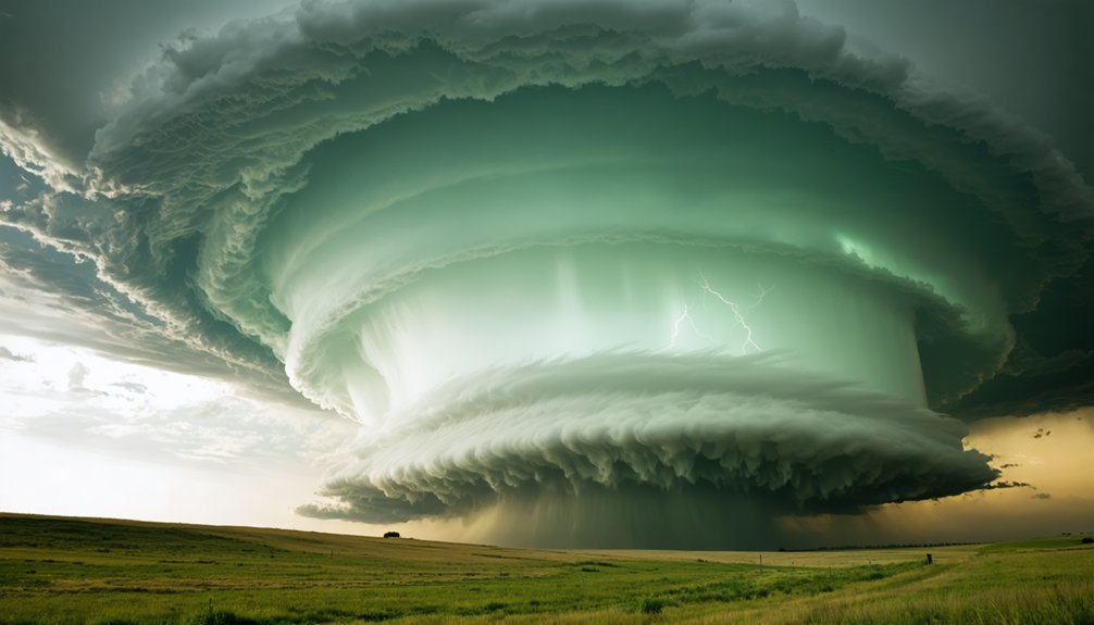
Unlike ordinary thunderstorms that fizzle out in under an hour, supercells can persist for several hours and travel hundreds of miles. The NSSL classifies supercells as long-lived storms exceeding one hour, though many last far longer depending on storm formation conditions and available atmospheric energy.
The rotating mesocyclone is the key driver behind this extended lifespan. By keeping the updraft and downdraft separated, the storm maintains a self-sustaining circulation that ordinary thunderstorms can’t replicate.
Cloud development in supercells reflects this organization, with overshooting tops reaching 50,000 feet and mesocyclones spanning up to 10 miles in diameter.
Strong wind shear, adequate moisture, and buoyancy keep the engine running. Under the right conditions, a single supercell can remain organized long enough to cross entire states.
What Dangers Does a Supercell Produce?
Because supercells are highly organized and long-lived, they’re capable of producing multiple simultaneous hazards. When a tornado warning is issued, you’re often dealing with a supercell as the source. Understanding these dangers keeps your storm safety decisions grounded in facts, not guesswork.
Supercells are built to last — and while they’re active, they’re rarely producing just one threat at a time.
Supercells can deliver three primary threats:
- Large hail — stones can exceed baseball size, damaging vehicles, roofs, and crops within minutes
- Tornadoes — while only 30% of supercells produce them, supercells generate the most violent tornadoes on record
- Outflow winds — straight-line winds can surpass 100 mph, rivaling weak tornado damage
Nearly every supercell produces severe weather in some form. You shouldn’t wait for a tornado warning alone before acting — hail and wind threats arrive first.
How to Recognize a Supercell in the Sky
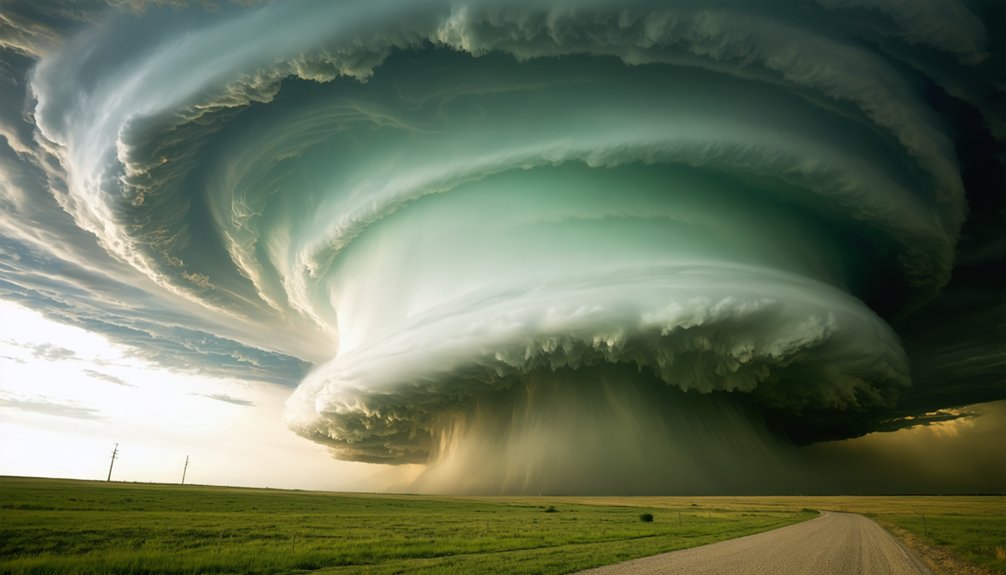
Spotting a supercell before radar confirms it can give you a critical head start. Watch for a tall, anvil-shaped cloud formation with a broad, flat top and a dark, organized base.
Unlike ordinary convection, supercell cloud formation develops a distinct rotating base called a wall cloud, dropping below the main updraft region. That visible rotation is your clearest structural indicator for storm classification as a supercell rather than a standard thunderstorm.
The mesocyclone driving that rotation can stretch 10 miles wide and reach 50,000 feet. You’ll often spot a supercell standing alone ahead of a squall line, isolated and dominant.
An overshooting top punching above the anvil signals an exceptionally powerful updraft. Trust your eyes—these visual cues are measurable, reliable, and potentially life-saving.
Frequently Asked Questions
Can a Supercell Thunderstorm Occur During Winter Months?
Like a wolf ignoring seasons, supercells don’t stop for winter. You’ll find they can disrupt seasonal patterns, forming during winter storms when sufficient wind shear, moisture, and buoyancy align—regardless of the calendar month.
Are Supercells More Common in Certain Countries Than Others?
Yes, supercell frequency isn’t evenly spread across geographic distribution globally. You’ll find the highest concentrations in the U.S. Great Plains, Argentina, and parts of Europe, where strong wind shear and atmospheric instability combine most favorably.
Can Two Supercells Merge Together Into One Larger Storm?
Yes, two supercells can merge into one colossal, unstoppable giant! When they collide, storm rotation dynamics shift dramatically, often boosting supercell longevity. You’ll witness the combined mesocyclones reorganize, potentially intensifying severe weather outputs considerably.
Do Supercells Always Produce Lightning Compared to Ordinary Thunderstorms?
Supercells don’t always guarantee higher lightning frequency than ordinary thunderstorms. However, their extreme storm intensity and powerful updrafts often generate prolific electrical activity, meaning you’ll frequently observe more intense, continuous lightning compared to typical convective storms.
Can Supercells Form Over Ocean Water or Only Over Land?
Yes, you can find supercells forming over ocean water. Oceanic formations occur when marine thunderstorms encounter strong wind shear and sufficient buoyancy. They’re less common offshore, but atmospheric conditions don’t restrict supercell development strictly to land environments.
References
- https://www.weather.gov/ama/supercell
- https://en.wikipedia.org/wiki/Supercell
- https://www.nssl.noaa.gov/education/svrwx101/thunderstorms/faq/
- https://www.youtube.com/watch?v=BdIFXFqpnU8
- https://www.cnn.com/weather/supercell-thunderstorms-explained-climate
- https://www.weather.gov/spotterguide/supercell1
- https://weather.com/science/weather-explainers/news/2024-04-15-what-is-a-supercell-thunderstorm
- https://www.nssl.noaa.gov/education/svrwx101/thunderstorms/types/
- https://www.foxweather.com/learn/what-is-a-supercell-thunderstorm
- https://www.wunderground.com/prepare/supercell



