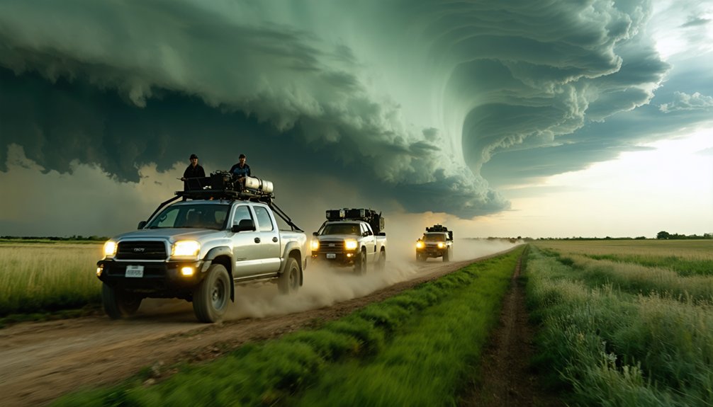
The SKYWARN Storm Spotter Program is a National Weather Service initiative that trains volunteers to observe and report severe weather conditions from the ground. You don’t need a meteorology degree to join — law enforcement officers, firefighters, amateur radio operators, and everyday residents all participate. Spotters provide critical ground-truth data that radar simply can’t capture, helping forecasters issue faster, more precise warnings. There’s much more to uncover about how this program actually works and why it matters.
Key Takeaways
- SKYWARN is a National Weather Service volunteer program that trains citizens to observe and report severe weather conditions accurately.
- Active since the 1970s, it coordinates volunteers including law enforcement, firefighters, amateur radio operators, and everyday residents.
- Spotters provide critical ground-truth data that radar systems cannot, confirming tornadoes, large hail, and flash floods at surface level.
- Training is free, requires no meteorology degree, and teaches volunteers proper reporting procedures for hazardous weather events.
- Spotter reports enable faster, more precise warnings, helping emergency responders mobilize resources and ultimately saving lives and property.
What Is the SKYWARN Storm Spotter Program?
The SKYWARN Storm Spotter Program is a National Weather Service (NWS) initiative that trains volunteer civilians to observe and report severe weather conditions directly from the field. Through meteorologist collaboration, trained spotters deliver ground-truth data that radar systems alone can’t provide. You become the critical link between atmospheric indicators and actual conditions on the ground.
The program’s community engagement model empowers citizens from all backgrounds — law enforcement, firefighters, amateur radio operators, and everyday residents — to actively participate in severe weather documentation. Your reports enable NWS forecasters to issue more accurate, timely warnings for tornadoes, severe thunderstorms, and flash floods.
Operating since the 1970s, SKYWARN strengthens coordination between NWS offices and emergency managers, giving communities a measurable advantage in protecting lives and property during hazardous weather events.
What Spotters See That Radar Can’t
Doppler radar excels at detecting precipitation intensity, wind shear, and storm rotation aloft, but it can’t confirm what’s actually happening at ground level. Beam overshooting, terrain blockage, and range limitations degrade meteorological data accuracy near the surface. That’s where you become essential.
As a trained spotter, you provide direct visual confirmation of tornadoes, large hail, and flash flooding that no weather instrumentation can replicate remotely. You verify whether a radar-indicated rotation has actually produced a funnel or touchdown.
You confirm hail size, wind damage extent, and flood depth in real time. NWS forecasters rely on your ground-truth reports to bridge the gap between what radar suggests aloft and what’s physically occurring at street level, enabling faster, more accurate warnings that protect lives and property.
Why the NWS Needs SKYWARN Storm Spotters
Every year, the United States experiences more than 10,000 severe thunderstorms, 5,000 floods, and over 1,000 tornadoes—a threat volume that no remote sensing network can fully manage alone.
Doppler radar and satellite imagery identify developing weather patterns, but they can’t confirm what’s actually happening at ground level. That’s where you come in.
The NWS relies on SKYWARN spotters to bridge the gap between sensor data and real-world conditions. Your ground-truth reports allow forecasters to verify radar signatures, validate warnings, and issue more accurate alerts faster.
Without that verification layer, warning systems operate on assumptions rather than confirmed observations.
You’re not supplementing the NWS—you’re strengthening its operational backbone. Trained spotters function as the nation’s first line of defense, making the entire warning system more precise and more effective.
Who Becomes a SKYWARN Storm Spotter?
Filling that first line of defense requires people from nearly every walk of life. SKYWARN draws volunteers who already operate in the field, making community engagement a natural extension of their existing roles. Weather safety depends on individuals who can observe, assess, and report accurately under pressure.
Common spotter backgrounds include:
- Law enforcement and firefighters — already deployed during severe weather events
- Amateur radio operators — capable of transmitting reports when infrastructure fails
- General public members — trained through free local NWS courses requiring no prior registration
You don’t need a meteorology degree. You need situational awareness, reliable communication, and a commitment to accurate reporting.
If you operate in or near areas exposed to severe weather, SKYWARN training gives you the structured framework to act effectively.
What SKYWARN Spotters Actually Report
Once you’re in the field, your core function is structured observation. You’re not guessing — you’re documenting specific, verifiable conditions that radar alone can’t confirm.
Your reports typically cover hail size, wind damage, flash flooding, heavy rainfall, tornadoes, and waterspouts. In winter, that extends to snow and ice accumulation.
You’re trained to recognize storm patterns and distinguish significant weather anomalies from routine atmospheric activity.
NWS offices often set reporting thresholds — one inch of rain, six inches of snow, or downed trees. When conditions meet those benchmarks, you act.
Strong reports include your exact location, observation time, event duration, visible impacts, and photographic evidence when available. That precision transforms raw field observation into actionable intelligence that forecasters use to protect lives and property.
How SKYWARN Spotter Training Works
Knowing what to report is only half the equation — you also need the foundation to recognize and interpret what you’re seeing. Local NWS meteorologists deliver free training that equips you to identify critical weather patterns and submit observations that strengthen data accuracy across the warning system.
Recognizing what you’re seeing is just as critical as knowing what to report.
Most basic courses run approximately one hour and cover:
- Storm structure identification — recognizing rotation, wall clouds, and funnel development
- Threshold-based reporting — understanding when conditions meet criteria requiring immediate submission
- Observation documentation — recording location, time, duration, and photographic evidence accurately
Prior registration isn’t always required. Advanced and refresher courses build on foundational skills over time.
This decentralized, volunteer-driven training model keeps you operationally independent while directly supporting NWS forecasters during active severe weather events.
How SKYWARN Spotters Submit Reports to the NWS
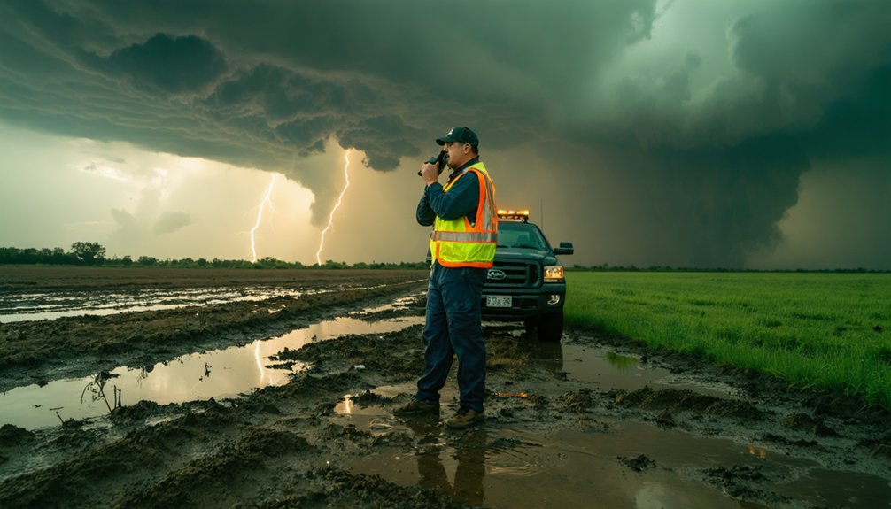
When you’re ready to report, you can submit observations to your local NWS office by phone, internet, amateur radio, or citizen band radio.
Your report should include your location, the time and duration of the event, visible impacts such as hail size or wind damage, and a photo if available.
You should submit when conditions meet your local NWS office’s thresholds—such as 1 inch of rain, 6 inches of snow, or downed trees—to guarantee your report carries operational value.
Report Submission Methods
Trained SKYWARN spotters can submit reports to the NWS through several channels, including phone, internet, citizen band radio, and amateur radio. Each method supports weather safety by guaranteeing your ground-truth observations reach forecasters quickly. Communication technology gives you flexible options based on your location and available equipment.
Here are three primary report submission methods:
- Phone – Call your local NWS office directly to relay real-time severe weather observations.
- Internet – Submit reports through online platforms, including NWS reporting tools or social media channels monitored by forecasters.
- Radio (CB or Amateur) – Transmit observations through citizen band or amateur radio networks, particularly useful when internet or phone access is unavailable.
Choosing the right channel ensures your report arrives accurately and promptly when it matters most.
Key Details To Include
Accurate reports hinge on the details you include, so structure each submission around six core elements: location, time, event duration, observed phenomenon (e.g., hail size, tornado, flash flooding), visible impacts, and a photo if available.
Precise location data anchors your report within broader weather patterns, allowing NWS meteorologists to correlate ground-truth observations with radar signatures.
Timestamp accuracy is equally critical—off-by-minutes errors distort event timelines.
When describing visible impacts, be specific: downed trees, structural damage, or measured water depth communicate conditions that radar can’t confirm.
Across all communication channels—phone, internet, amateur radio, or CB radio—maintain consistent formatting.
Vague or incomplete submissions reduce operational value, so eliminate guesswork by reporting only what you directly observe, measured where possible, and framed with factual precision.
When To Submit Reports
Submitting your report at the right moment is just as critical as the details it contains. Delayed reports reduce NWS forecasters’ ability to issue timely warnings, directly compromising weather safety for your community.
Follow these communication protocols to maximize your report’s impact:
- Submit immediately when you observe a qualifying event — don’t wait for conditions to worsen.
- Report during active events, not after; real-time data gives forecasters actionable intelligence.
- Use your designated channel — phone, amateur radio, or online submission — based on your local NWS office’s preferred protocol.
Your timing determines whether a warning reaches people before or after a storm strikes. Precision in both observation and submission keeps the information chain intact and warnings accurate.
How SKYWARN Storm Spotters Save Lives
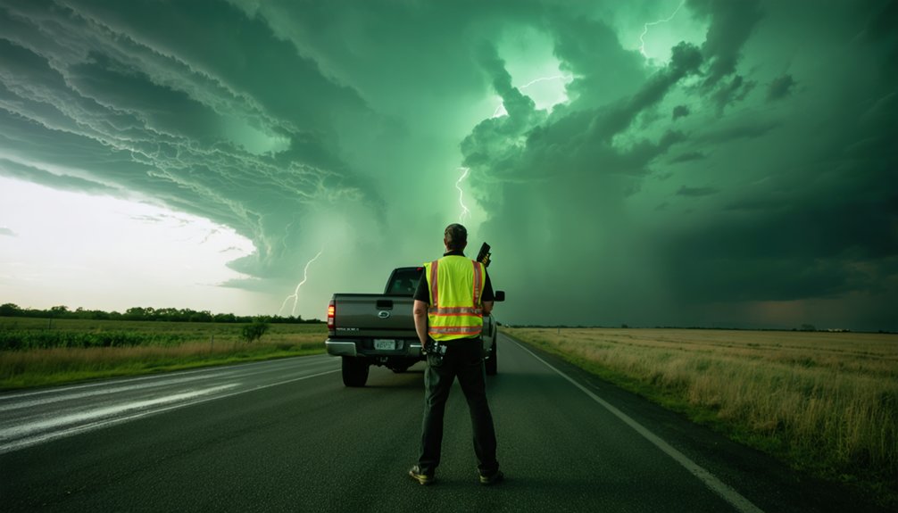
When you submit a real-time ground-truth report, you’re providing NWS forecasters with field-level data that radar alone can’t confirm. Your observations bridge the gap between what forecasters see on radar and what’s actually occurring at ground level.
This enables more accurate and timely warnings. That verified, ground-level information then reaches emergency responders who use it to mobilize resources, coordinate evacuations, and protect lives before conditions worsen.
Real-Time Ground Truth Reports
Ground-truth reports from SKYWARN spotters serve as the critical link between radar signatures and actual surface conditions, giving NWS forecasters verified, real-time data they can’t obtain from remote sensing alone. When you report confirmed weather patterns directly from the field, forecasters can validate or adjust warning decisions with precision.
Spotters transmit reports using multiple communication technology channels:
- Amateur radio and citizen band radio — reliable during infrastructure failures
- Internet-based platforms — enabling rapid digital submission with location data
- Direct phone contact — connecting spotters immediately to local NWS offices
Each report you submit includes location, time, observed impacts, and measurable data like hail size or rainfall totals. That specific, timestamped information transforms raw radar interpretation into actionable, verified intelligence that directly sharpens warning accuracy.
Bridging Radar And Reality
Doppler radar detects rotation, reflectivity, and precipitation intensity—but it can’t confirm what’s actually happening on the ground. Satellite imagery tracks storm systems from above, and weather balloons measure atmospheric pressure, humidity, and temperature aloft—yet neither tool verifies surface conditions in real time.
That’s precisely where you, as a trained SKYWARN spotter, become operationally critical. When radar indicates a potential tornado, NWS forecasters need ground-truth confirmation before issuing or extending warnings. Your direct observation closes that verification gap.
You’re translating electronic signatures into confirmed physical reality—actual funnel contact, measured hail diameter, documented wind damage. This human-to-forecaster data link accelerates warning issuance, sharpens geographic precision, and ultimately gives communities the seconds or minutes needed to take protective action.
Radar shows probability; you confirm fact.
Supporting Emergency Response Efforts
Your reports don’t just validate radar data—they drive emergency response decisions in real time.
While weather balloons and satellite imagery provide critical atmospheric context, your ground-truth observations give emergency managers the actionable intelligence they need to deploy resources effectively.
When you submit accurate, timely field reports, you directly enable:
- Faster warning dissemination — NWS forecasters confirm hazardous conditions and issue life-saving alerts with greater confidence.
- Precise resource deployment — Emergency responders route personnel and equipment to verified impact zones, not radar estimates.
- Coordinated multi-agency response — Local emergency managers, law enforcement, and fire services align operations around confirmed ground conditions.
Your independence as a volunteer spotter makes you irreplaceable. No satellite pass or balloon sounding captures what you observe standing in your community during an active severe weather event.
Frequently Asked Questions
How Long Has the SKYWARN Program Been Operating in the United States?
Like a weathered oak standing firm, SKYWARN’s historical development spans since the 1970s—you’ve got over five decades of program objectives protecting lives through trained volunteer spotters delivering precise, ground-truth severe weather intelligence across the nation.
Approximately How Many Trained Volunteers Are Currently Part of the SKYWARN Network?
You’ll find the SKYWARN network comprises 230,000 to 400,000 trained volunteers. Through structured volunteer training and established reporting protocols, you’re actively contributing to a decentralized, community-driven defense system that keeps severe weather data flowing freely to forecasters.
Can SKYWARN Spotters Report Winter Weather Events Like Snow and Ice?
Yes, you can report winter weather events as a SKYWARN spotter. You’ll document snow and ice accumulation, helping NWS forecasters receive precise ground-truth data that strengthens warning accuracy and protects your community’s freedom to prepare effectively.
How Much Does It Typically Cost to Become a SKYWARN Storm Spotter?
You won’t pay anything to complete SKYWARN’s training requirements — local NWS meteorologists offer the certification process completely free. You’ll gain essential spotter skills without financial barriers, keeping the program accessible to anyone valuing community-driven weather safety.
What Specific Weather Thresholds Trigger a Required Report From SKYWARN Spotters?
Forget waiting for nature’s permission—you’ll report when 1 inch of rain, 6 inches of snow, or downed trees occur. These storm safety tips and severe weather preparedness thresholds keep your SKYWARN observations timely and analytically precise.
References
- https://www.weather.gov/skywarn/
- https://www.weather.gov/sew/spotter
- https://en.wikipedia.org/wiki/Skywarn
- https://www.arrl.org/files/file/Media & PR/EmergencyRadio_org/Skywarn.pdf
- https://www.weather.gov/hun/skywarn_alt
- https://www.weather.gov/chs/skywarn
- https://www.weather.gov/mfr/skywarn
- https://www.weather.gov/bmx/skywarn
- https://noaa-mirror.org/www.weather.gov/fgz/Skywarn
- https://www.youtube.com/watch?v=YGK3UYw0zQs