When you try to intercept a hurricane, you’re fighting a storm releasing up to 2 × 10¹⁴ watts—far beyond any tool you can deploy. Ocean cooling fails within hours, aircraft can’t survive 150+ mph eyewall winds, and forecasting errors exceed hundreds of miles past 72 hours. Even successful disruption won’t stop reintensification, since warm ocean reservoirs continuously resupply latent heat. The obstacles span physics, logistics, and ethics—and each one runs deeper than it first appears.
Key Takeaways
- Hurricanes release up to 2 × 10¹⁴ watts of energy, making any mechanical or thermal countermeasure physically and economically unfeasible.
- Rapid intensification can occur within 24 hours, leaving an extremely narrow window for effective intervention.
- Flying into eyewall winds exceeding 150 mph destroys equipment before any intervention can be deployed.
- Redirecting storms shifts destruction to different populations, raising serious legal and ethical complications with no international framework.
- Past methods like cloud seeding and ocean cooling have failed, as storms reorganize and recover quickly.
Why a Hurricane’s Energy Makes Direct Interception Impossible
When you consider that a mature hurricane releases heat at roughly 5 × 10¹³ to 2 × 10¹⁴ watts, direct interception becomes an immediate non-starter. You’re not targeting a localized core — you’re confronting a self-sustaining system drawing from a vast ocean thermal energy reservoir that dwarfs any countermeasure you can realistically deploy.
Here’s the critical data point: the storm converts less than 10% of that heat into wind power. That means the remaining energy reservoir stays embedded in the atmosphere, ready to fuel reintensification after any disturbance passes.
You can’t simply punch through it. Countermeasures too weak to match the storm’s full scale only produce temporary suppression, and the storm rebuilds. Matching that output mechanically or thermally remains physically and economically beyond current human capability.
What Actually Happens When You Try to Cool the Ocean Surface
Cooling the ocean surface sounds straightforward until you account for what water actually does under those conditions. You pump cold water upward, expecting sustained ocean cooling, but the physics work against you immediately. Cooled water is denser, so it sinks, eliminating the surface temperature reduction within hours.
You’ve achieved temporary energy dissipation at best, not structural hurricane disruption. Restoring that thermal gradient requires continuous pumping across hundreds of square miles, demanding infrastructure costs exceeding one billion dollars by conservative estimates.
Meanwhile, the storm’s heat intake resumes the moment your intervention falters. You’re fundamentally fighting thermodynamics with logistics—a losing equation. The ocean’s thermal reservoir is simply too vast, and the window for meaningful surface cooling too narrow, to produce reliable results against a fully developed system.
Why Forecasting Failures Kill Any Interception Plan Early
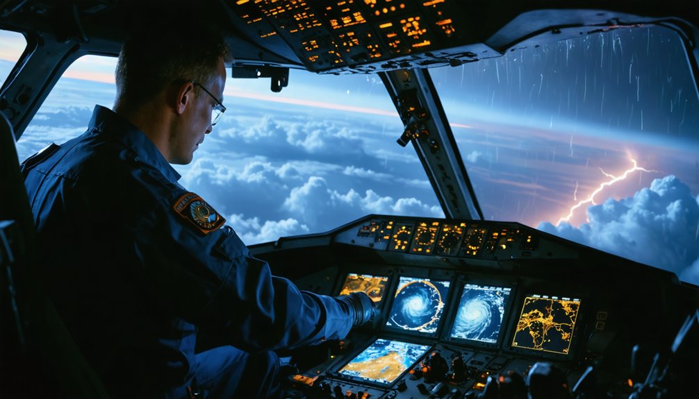
Before you can intercept a hurricane, you need to know one is coming—and current atmospheric models can’t reliably distinguish which tropical disturbances will develop into full hurricanes far enough in advance to deploy resources.
Even if a storm does form, your week-ahead track and intensity forecasts carry enough uncertainty to place landfall predictions off by hundreds of miles.
That margin of error effectively forces you to wait until the storm reaches peak strength before committing to intervention, eliminating your best window for any meaningful action.
Predicting Storm Formation Failures
Forecasting failures strike at the heart of any interception plan before it can get off the ground. Even with advanced satellite monitoring, you can’t reliably identify which tropical disturbances will intensify into full hurricanes far enough ahead to deploy countermeasures effectively.
Data inaccuracies compound the problem — atmospheric models carry inherent uncertainties that widen dramatically beyond 72 hours, leaving track and intensity forecasts unreliable at the one-week range. You’d need precise predictions to position ocean-cooling arrays, pump systems, or any large-scale intervention correctly.
Without them, you’re committing enormous resources against a storm that may never materialize as a threat. Worse, targeting the wrong system wastes critical infrastructure while the actual dangerous storm develops unchallenged.
Prediction failures don’t just complicate interception — they structurally undermine it from the start.
Unreliable Week-Ahead Forecasts
Even with modern forecasting tools, track and intensity predictions beyond 72 hours carry uncertainties wide enough to invalidate any week-ahead interception plan. Ensemble models diverge sharply past day four, leaving projected landfall zones spanning hundreds of miles.
Ocean currents introduce additional variability by shifting sea surface temperatures that directly control intensification rates, making precise strength forecasts nearly impossible.
Satellite debris fields from aging sensor networks further degrade data resolution, introducing gaps exactly when high-quality inputs matter most.
You can’t position pumps, aircraft, or barrier systems accurately when the storm’s path remains statistically ambiguous.
Committing resources to a week-ahead intercept means accepting a high probability of misalignment between your intervention placement and the storm’s actual trajectory, effectively neutralizing any operational advantage before the mission even begins.
How Narrow the Window Really Is Before a Hurricane Peaks
The window for meaningful hurricane interception narrows sharply once a tropical disturbance begins organizing, and current forecasting can’t reliably identify which systems will intensify far enough in advance to matter.
By the time atmospheric pressure drops decisively and storm surge potential becomes measurable, you’re often already facing a mature system. Rapid intensification cycles — where winds increase 35+ mph within 24 hours — compress your intervention timeline further.
You can’t pre-position ocean-cooling infrastructure or coordinate atmospheric modification assets against a storm that didn’t exist on radar 72 hours prior. Waiting for confirmation means the hurricane reaches peak strength before any countermeasure deploys effectively.
That operational gap isn’t a logistics problem you can engineer around — it’s a fundamental constraint imposed by atmospheric physics and the limits of current predictive modeling.
Why Hurricanes Reintensify After Surviving Disruption

Disrupting a hurricane’s structure doesn’t neutralize the thermodynamic engine driving it. Hurricane resilience means the system retains storm memory—its organized convection, pressure gradient, and warm-sea fuel source persist beneath any temporary disturbance you impose.
Three reintensification drivers explain why:
- Warm ocean reservoir: Sea surface temperatures exceeding 26°C extend hundreds of meters deep, continuously supplying latent heat after disruption subsides.
- Retained pressure gradient: Even a weakened eye maintains low central pressure, allowing wind fields to rapidly reorganize around the same dynamic core.
- Convective rebound: Outer rainbands preserve moisture and rotational energy, rebuilding inner eyewall structure within 12–24 hours post-disruption.
Any intervention that doesn’t permanently eliminate the heat source essentially grants the storm recovery time, leaving populations dangerously exposed.
Why No Aircraft Can Meaningfully Weaken a Hurricane
When you consider that a mature hurricane releases between 5 × 10¹³ and 2 × 10¹⁴ watts of heat energy, you can immediately see why no aircraft-based intervention produces a meaningful effect on the storm’s overall structure.
You’d be directing a finite mechanical force—shock waves, pressure disturbances, or payload dispersal—against a thermodynamic system orders of magnitude more powerful, yielding no measurable intensity reduction.
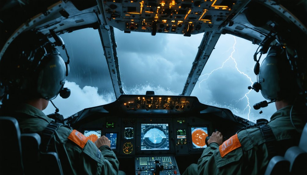
Compounding the futility is the operational reality that flying aircraft into hurricane eyewalls exposes crews to extreme turbulence and destructive wind loads that make sustained, targeted intervention nearly impossible to execute safely.
Aircraft Versus Storm Power
Even the most powerful military aircraft can’t make a dent in a mature hurricane’s energy output, which ranges from 5 × 10¹³ to 2 × 10¹⁴ watts.
Storm modeling confirms that no aerospace engineering solution currently scales to match that magnitude.
Consider the raw disparity:
- Energy gap: A fully loaded B-52 releases roughly 10¹² joules total — orders of magnitude below the storm’s per-second output.
- Structural risk: Flying into an eyewall exposes aircraft to turbulence forces that exceed operational safety limits, destroying equipment before any intervention deploys.
- Mechanical inefficiency: Hurricanes convert less than 10% of heat into wind, meaning the remaining thermal reservoir continuously replenishes whatever mechanical disruption you introduce.
You’re not fighting a localized threat — you’re opposing an atmospheric engine running on an oceanic fuel source.
Pilot Safety Risks
Flying into a hurricane eyewall isn’t reckless by choice — it’s structurally catastrophic by physics. Pilot safety collapses under conditions that exceed aircraft design tolerances. Eyewall winds exceed 150 mph, updrafts spike violently, and pressure gradients shift faster than control surfaces can compensate.
Turbulence hazards aren’t theoretical — they’re instantaneous and overwhelming. You’re dealing with rotational wind shear that can invert an aircraft within seconds, combined with rain density that effectively blinds instrumentation. No crew survives that environment operationally without severe equipment degradation.
Reconnaissance flights penetrate outer bands under controlled parameters, not eyewalls. That distinction matters. Any mission targeting the eyewall directly trades crew lives for zero measurable impact on storm energy — a catastrophic exchange rate that no rational operational framework justifies.
Why Redirecting a Storm Just Moves the Catastrophe Elsewhere
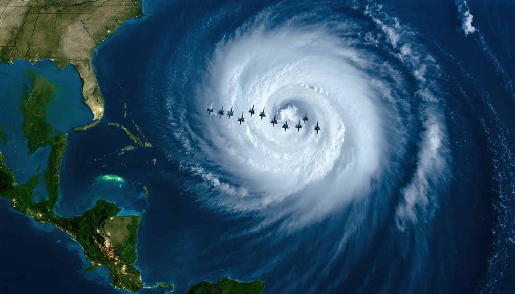
Redirecting a hurricane doesn’t eliminate the catastrophe—it relocates it. You’re not neutralizing energy; you’re reassigning destruction to a different population. That raises immediate questions of environmental ethics and international liability.
Consider what redirection actually produces:
- Rainfall redistribution — A deflected storm still carries its full moisture load, delivering catastrophic flooding to communities outside the original threat zone.
- Structural survival — The storm’s core remains intact after deflection, allowing reintensification once favorable ocean temperatures resume.
- Legal exposure — Shifting damage from one region to another transforms a natural disaster into a human-caused one, triggering cross-border liability claims between nations.
You can’t justify moving a Category 4 from one coastline to another. The physics don’t change—only the victims do.
Who Gets Blamed When a Redirected Hurricane Kills Someone Else?
When a redirected hurricane kills people in a region that wasn’t the original target, assigning legal responsibility becomes a jurisdictional nightmare with no clear precedent. You’re dealing with legal disputes that span national borders, insurance frameworks, and sovereign liability doctrines—none of which were designed for deliberate atmospheric intervention.
Ethical considerations compound the legal chaos: who authorized the decision, and under what mandate? If a government agency redirected the storm, affected populations can argue that human action, not nature, caused their losses. That distinction transforms an act of God into a tort.
You’re now operating in territory where international law offers no firm answer, regulatory bodies lack jurisdiction, and victims demand accountability from decision-makers who may have genuinely believed they were saving lives elsewhere.
Which Interception Methods Have Been Tested and Why They Failed
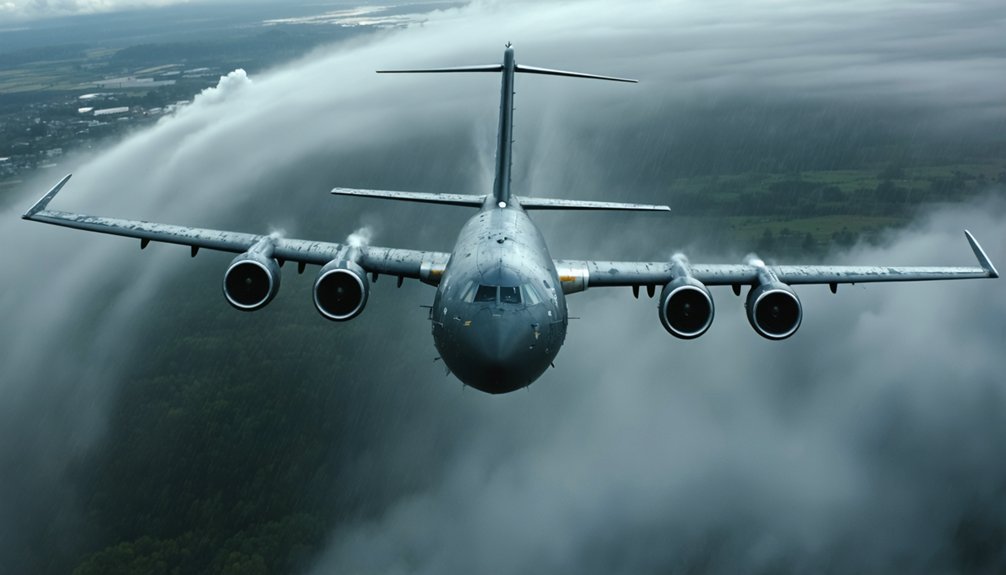
Few interception methods have moved beyond the theoretical stage, and those that have produced little measurable success against a storm’s core dynamics. Ocean cooling and energy absorption remain the most studied approaches, yet both have collapsed under real-world conditions.
- Project Stormfury (1962–1983): Scientists seeded hurricane clouds with silver iodide to disrupt eyewall structure. Results were statistically indistinguishable from natural variation.
- Ocean pump arrays: Cold water pumped to the surface sinks rapidly, restoring warm surface temperatures before sustained energy absorption occurs.
- Atmospheric aerosol injection: Cooling proposals showed modest localized effects but couldn’t scale to match a storm releasing up to 2×10¹⁴ watts continuously.
Each method underestimated the storm’s ability to reorganize and recover its intensity after intervention.
Frequently Asked Questions
Can Nuclear Weapons Be Used to Disrupt a Hurricane’s Structure?
You can’t effectively use nuclear weather tactics for hurricane disruption—a storm releases up to 2×10¹⁴ watts, dwarfing any nuclear yield, while radiation fallout creates catastrophic, unacceptable consequences for free populations.
Do Hurricanes Ever Naturally Dissipate Before Reaching Populated Coastlines?
Yes, you’ll find hurricanes habitually halt before hitting shores. Meteorological challenges like wind shear, cooler waters, and dry air intrusion naturally weaken systems, drastically reducing coastal impact—giving communities critical breathing room without intervention.
What International Laws Currently Govern Weather Modification Experiments?
No single binding treaty governs weather modification experiments. You’ll find the 1977 ENMOD Convention prohibits hostile weather sovereignty manipulation, but it doesn’t restrict scientific research, leaving international treaties largely fragmented and enforcement mechanisms frustratingly weak.
How Much Would a Failed Interception Attempt Typically Cost Taxpayers?
You’d likely spend over $1 billion on failed ocean-cooling infrastructure alone. Economic impacts compound through wasted logistics and deployment costs, while technological challenges—like unpredictable storm fluctuations—ensure you can’t recover those taxpayer resources effectively.
Could Future AI Technology Improve Hurricane Interception Success Rates?
Like a chess grandmaster anticipating moves, artificial intelligence could boost your interception success rates through predictive modeling—improving track forecasts, optimizing deployment timing, and analyzing storm fluctuations faster than traditional methods currently allow you to achieve.
References
- https://en.wikipedia.org/wiki/Storm_chasing
- https://www.thenakedscientists.com/articles/interviews/steering-hurricanes-out-harms-way
- https://www.reddit.com/r/meteorology/comments/1elkcdx/hypothetical_blocking_a_hurricane/
- https://www.popsci.com/science/article/2012-11/why-cant-we-stop-hurricane-it-hits-us/
- https://gizmodo.com/could-we-ever-stop-a-hurricane-in-its-tracks-1848003119
- https://www.youtube.com/watch?v=0mj_hBTqtfw