You can detect tropical cyclone formation days in advance by combining geostationary infrared imagery, passive microwave sensors, and SAR-derived wind fields into one continuous observational framework. Geostationary satellites scan cloud patterns every five minutes, while passive microwave sensors penetrate dense cloud cover to expose internal convective structures. Scatterometers quantify surface wind fields, and AI-driven multi-sensor fusion ties it all together for real-time nowcasting. Each technology layer reveals something the others can’t—and there’s much more to unpack.
Key Takeaways
- Geostationary satellites detect early storm organization by monitoring cloud-top temperatures and structural clustering via visible and infrared channels.
- Passive microwave sensors penetrate dense cloud cover, revealing internal convective structures and moisture gradients that indicate cyclone development.
- SAR and scatterometers provide high-resolution surface wind data in all-weather conditions, supporting early storm intensification detection.
- Ground-based Doppler radar measures wind speed, rotation, and upward motion, confirming satellite estimates during near-landfall storm approaches.
- AI-driven multi-sensor fusion combines infrared, microwave, SAR, and scatterometer data for real-time, high-resolution storm nowcasting.
How Satellites Catch Storm Formation Before It Starts
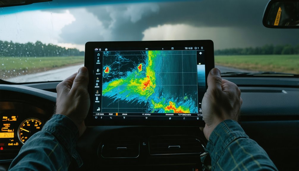
How do meteorologists spot a storm before it fully takes shape? You rely on geostationary satellites scanning cloud patterns continuously, detecting early signs of storm organization before ground systems register any threat. These satellites monitor cloud-top temperatures and structural clustering through visible and infrared channels, flagging convective activity as it develops.
Rapid scan modes, operating at roughly 5-minute intervals, let you track hour-by-hour shifts in storm shape and movement with precision. When cloud patterns tighten and cold cloud-top temperatures drop further, you’re seeing intensification signals early.
Passive microwave sensors complement this by penetrating dense cloud cover, revealing internal convective structure invisible to infrared alone.
Together, these systems give you actionable storm organization data well before a cyclone fully forms, preserving your window to respond.
What Passive Microwave Sensors See Through Dense Cloud Cover
When infrared sensors lose resolution against dense cloud canopies, passive microwave instruments cut through, measuring rainfall rates, water vapor distribution, and sea-surface temperatures beneath layers that block optical detection entirely.
Where cloud top analysis reveals surface-level ambiguity, microwave radiometers expose convective organization deep within storm structures, giving you independent confirmation of intensification patterns that optical channels can’t resolve.
You’re not limited to surface observations either. Water vapor profiling through microwave sounders tracks moisture gradients that drive cyclone development across multiple atmospheric layers.
Combined radiometer and sounder configurations support continuous monitoring through every formation stage, letting you identify tropical cyclone precursors earlier than visible or infrared methods alone permit.
That earlier recognition translates directly into stronger forecast confidence and more decisive operational response before conditions deteriorate further.
How SAR and Scatterometers Track Storms in Any Weather
Passive microwave instruments give you vertical penetration into storm structure, but SAR and scatterometers extend that capability further by delivering precise surface-level wind data regardless of cloud cover or precipitation.
SAR operates across all-weather conditions, penetrating dense clouds to resolve wind patterns at 0.1–3 km resolution using C-band radar energy. You get detailed rainband structure and surface roughness that reveal near-surface circulation even when optical sensors fail.
Scatterometers complement this by measuring short surface wave amplitudes, giving you quantified wind field structure around developing cyclones.
Together, these sensors track cloud evolution by connecting surface-level signatures to broader storm organization. That means you’re not dependent on clear skies—you’re getting actionable, high-resolution data that directly supports independent storm monitoring and early intensification detection.
Why Ground-Based Radar Remains Critical for Storm Prediction
While satellites and SAR deliver broad-area storm coverage, ground-based radar closes the gap where precision matters most—near landfall and in real-time severe storm discrimination.
You’re dealing with a sensor that provides the strongest objective discrimination between severe and nonsevere storms, particularly at mid- and upper-level observations at and above 4 km altitude.
Doppler radar measures wind speed, rotation, and inferred upward motion—signals most pronounced in tornadic systems.
Ground validation confirms what satellite-derived estimates approximate, anchoring storm intensity and trajectory data to verifiable surface-level observations.
Sensor calibration guarantees Doppler returns remain accurate under dynamic atmospheric conditions, preserving forecast reliability when it’s most critical.
When storms approach land, ground-based radar becomes your primary tool for near-term intensification analysis and life-safety decision-making.
How Multi-Sensor Fusion and AI Are Reshaping Storm Forecasts
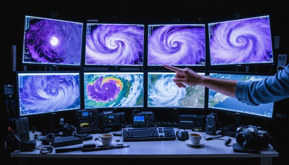
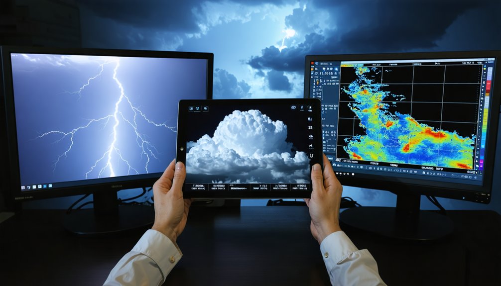
Ground-based radar anchors storm prediction near landfall, but no single sensor covers the full picture—and that’s where multi-sensor fusion changes the equation. Data integration across visible/IR, passive microwave, scatterometer, altimeter, and SAR platforms gives you continuous, layered storm intelligence.
No single sensor covers the full picture—multi-sensor fusion delivers the continuous, layered storm intelligence that isolated platforms never could.
AI modeling then processes this combined feed to estimate cyclone intensity and center position in near real time.
Key capabilities this fusion release:
- Deep learning trained on multispectral IR imagery detects cyclone structure rapidly
- Microwave and SAR data reveal internal storm organization beneath cloud cover
- Scatterometer wind fields sharpen intensity estimates around developing systems
- Assimilated radar, lightning, and atmospheric profiles improve forecast resolution
- High-resolution nowcasting integrates SST, precipitation, and satellite data simultaneously
You’re no longer dependent on isolated observations—integrated systems deliver precision that standalone sensors simply can’t match.
Frequently Asked Questions
What Is the Typical Cost of Deploying a Remote Sensing Storm System?
Costs can reach astronomical levels! You’ll face intense deployment challenges requiring thorough cost analysis—satellite systems range from millions to billions, while ground-based radar runs $500K–$5M, depending on sensor integration complexity you’re managing.
How Do Remote Sensing Technologies Perform Over Land Versus Ocean Environments?
Over ocean monitoring, you’ll find scatterometers and altimeters excel at capturing surface winds and wave data. On land, Doppler radar’s land contrast advantage gives you superior storm rotation detection and severe weather discrimination above 4 km altitude.
Which Government Agencies Currently Operate Storm-Monitoring Remote Sensing Satellites?
“Knowledge is power” — you’ll find NASA, NOAA, ESA, and JAXA actively operating storm-monitoring satellites. They’re driving satellite calibration and data integration across multi-sensor networks, giving you precise, real-time storm formation intelligence unrestricted by borders.
How Long Does It Take to Train AI Models for Storm Prediction?
AI training duration varies widely—you’ll typically spend weeks to months achieving strong model accuracy, depending on dataset size, architecture complexity, and computational resources available for processing multispectral infrared, radar, and satellite storm data.
Can Remote Sensing Technologies Predict Storm Damage to Coastal Infrastructure?
Yes, you can harness remote sensing technologies to predict storm impact with near-limitless precision. SAR, Doppler radar, and altimeters deliver critical data on wind fields and wave heights, empowering you to assess infrastructure resilience before devastation strikes.
References
- https://www.sciencedirect.com/science/article/pii/S2225603223000553
- https://www.nawm.org/pdf_lib/jcr_flood_klemas_1109.pdf
- https://issnationallab.org/case_study/improving-tropical-storm-forecasts/
- https://satsawb.org/annual-technical-issue/30/FILE-NO-17.pdf
- https://crazystormchasers.com/advanced-techniques-for-storm-formation-prediction/
- https://www.ncbi.nlm.nih.gov/pmc/articles/PMC8050951/
- https://www.frontiersin.org/journals/earth-science/articles/10.3389/feart.2026.1787965/full
- https://archimer.ifremer.fr/doc/00868/98024/107296.pdf