Tornado Alley’s weather conditions are pivotal because they create North America’s most volatile atmospheric battleground, where moist tropical air from the Gulf collides with frigid polar masses across flat terrain with zero barriers to moderate the interaction. This unique convergence generates the atmospheric instability, wind shear, and moisture content necessary for supercell development—storms responsible for 65% of the region’s summer precipitation and most violent tornadoes. Understanding these mechanisms reveals why tornado patterns are shifting eastward and intensifying.
Key Takeaways
- Colliding moist tropical and polar air masses create atmospheric instability that drives 65% of summer precipitation and tornado development.
- Specific combinations of instability, wind shear, moisture, and triggers produce the mesocyclones essential for tornado formation over the Plains.
- Understanding rotation mechanics allows Doppler radar to detect tornadoes and provide 20-60 minutes of advance warning to threatened communities.
- Tornado patterns are shifting eastward, with 25% fewer occurrences westward and 12% increases eastward, requiring updated preparedness strategies.
- Dixie Alley faces compounding forecasting challenges from terrain, unpredictable timing, and vulnerable populations demanding improved prediction capabilities.
The Perfect Storm: How Air Masses Collide Over the Great Plains
What transforms the Great Plains into North America’s most volatile weather battleground? You’re witnessing a collision zone where moist tropical (MT) air from the Gulf of Mexico crashes into moist polar (MP) air masses—these interactions drive 65% of summer precipitation events.
The Great Plains: where Gulf moisture slams into polar air, fueling two-thirds of all summer storms.
Daytime temperature contrasts accelerate this atmospheric warfare, while wavy meridional jet stream patterns position frontal boundaries exactly where opposing air masses meet. You’ll find dry air masses northwest during these events, directly influencing rainfall intensity.
The real power emerges when high dewpoints at surface level combine with frigid upper-atmosphere temperatures, creating favorable atmospheric instability that spawns cumulonimbus development.
Springtime collisions produce the greatest rainfall anomalies, as boundaries like drylines and outflow zones concentrate energy release into violent convective systems.
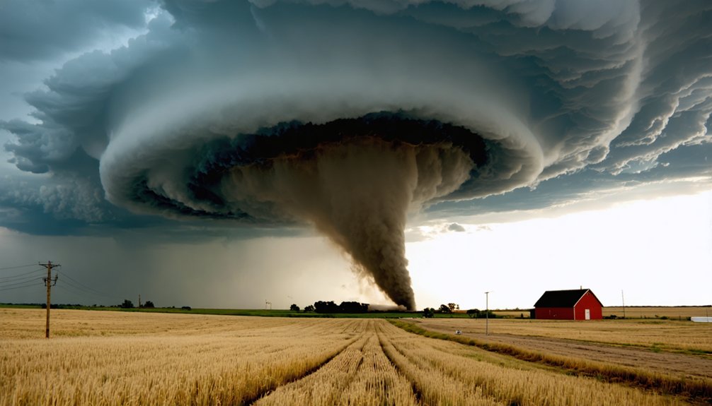
Essential Ingredients That Fuel Tornado Formation
Four atmospheric ingredients must converge simultaneously to transform ordinary thunderstorms into tornado-producing supercells. You’ll need atmospheric instability factors—where warm, humid air at ground level meets cold air aloft, creating rapid temperature decreases with height that fuel powerful updrafts.
Environmental shear becomes critical when winds rotate clockwise or intensify with altitude, particularly in the lowest few thousand feet where variations can reach 50 mph between surface and cloud base.
High moisture content saturates the air, forming towering cumulonimbus clouds while lowering cloud bases to a couple thousand feet.
Finally, trigger mechanisms like frontal boundaries or converging surface winds initiate upward motion. When these elements combine with mesocyclone rotation and strong low-level convergence, you’re witnessing nature’s most violent atmospheric phenomenon taking shape.
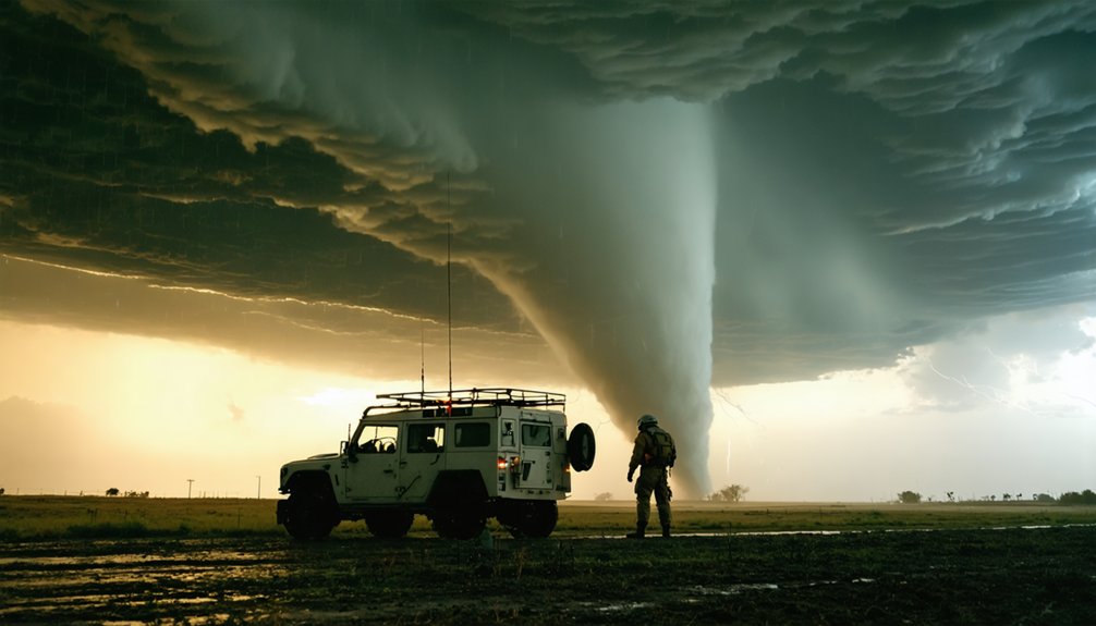
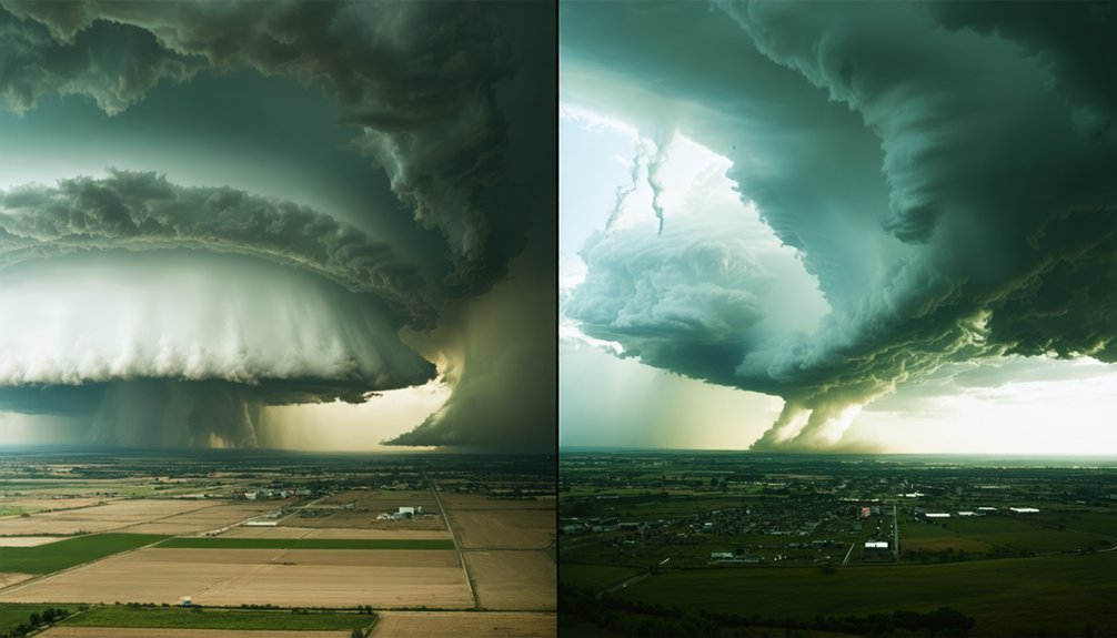
Inside a Supercell: The Mechanics of Rotating Thunderstorms
When these atmospheric ingredients align, a supercell’s rotating updraft initiates through a process called tilting, where horizontal vorticity from environmental wind shear converts into a vertical axis within the storm’s core. This mesocyclone dynamics creates a rotating column 2-10 km in diameter, extending up to 50,000 feet.
Supercell organization follows three critical stages:
- Mid-level rotation development – Veering winds impart helicity, establishing the initial rotating structure
- Vertical stretching – Updraft acceleration narrows the column, conserving angular momentum and amplifying rotational velocity
- Rear flank downdraft interaction – Dry mid-level air wraps around the mesocyclone base, tightening low-level rotation
Doppler radar detects this rotation 20-60 minutes before potential tornadogenesis, revealing hook echoes and counterclockwise circulation patterns that signal dangerous storm evolution.
When Tornadoes Strike: Understanding Seasonal Patterns
Across the continental United States, tornado occurrence follows distinct temporal patterns that have undergone measurable shifts over the past seven decades. Traditional peak season (March-May) remains dominant in Tornado Alley, yet long term trends reveal significant geographic redistribution.
Western regions experienced a 25% decrease (8,451 to 6,307 tornadoes) between 1951-1985 and 1986-2020, while eastern areas increased 12% (9,469 to 10,595). Climate variability manifests through reduced warm-season proportions nationally, with summer tornadoes declining chiefly.
Conversely, cold-season events intensified across southeastern states, where Dixie Alley’s strong tornado frequency more than doubled since 1990. The strong tornado centroid shifted 110 miles eastward over three decades, fundamentally altering risk distribution patterns you’ll need to monitor for accurate threat assessment.
By the Numbers: Tornado Statistics Across Alley States
Recent annual data quantifies the substantial geographic variation in tornado occurrence across traditional and emerging activity zones. You’ll observe significant tornado count variations when examining 2024’s distribution: Texas led with 169 events, while Iowa and Nebraska each recorded 131. The tornado fatality analysis reveals a concerning pattern—Texas’s 9 deaths topped the list, followed by Florida and Oklahoma with 8 each.
Historical frequency per 10,000 square miles (1991-2010) demonstrates:
- Florida averaged 12.3 tornadoes, exceeding traditional Alley states
- Kansas recorded 11.7 tornadoes, maintaining expected high density
- Maryland reported 9.9 tornadoes, indicating unexpected eastern vulnerability
You’re witnessing a measurable eastward shift: strong tornadoes (EF2+) doubled in Arkansas, Tennessee, Louisiana, Alabama, and Mississippi since 1990, while Nebraska, Kansas, Oklahoma, and Texas experienced 30% reductions.
The Eastward Shift: Why Dixie Alley Is Becoming More Active
While traditional Tornado Alley experiences measurable decline, a 2018 thorough study quantified the concurrent eastward migration of tornado frequency toward Dixie Alley—a meteorologically distinct region extending from Mississippi through Tennessee and Kentucky into southern Indiana.
You’ll find reduced tornado activity from north-central Texas toward Houston, while eastern Arkansas, Memphis, and northern Mississippi show elevated impacts. The meteorological triggers differ fundamentally: Gulf of Mexico proximity generates high-precipitation supercells with persistent instability after sunset, producing frequent nocturnal tornadoes.
Peak activity occurs February through mid-April, earlier than traditional May-June patterns. Cool-season tornadoes increase by five per decade for EF1-strength events. This eastward shift compounds population vulnerabilities—higher density settlements and prevalent mobile homes create maximum casualty conditions, demanding enhanced preparedness protocols throughout the Mid-South corridor.
Forecasting Challenges in Varied Terrain and Changing Climate
Dixie Alley’s increased activity introduces forecasting complications that traditional Tornado Alley meteorologists rarely encountered. You’re facing three critical challenges:
- Terrain obstacles: Dense forest coverage and rolling topography reduce tornado visibility, cutting your warning lead time below the already-limited 10-minute average.
- Temporal unpredictability: Warming conditions shift tornado seasons earlier while extending instability periods, disrupting historical forecasting baselines you’ve relied upon.
- Socioeconomic impacts: Higher population density in economically disadvantaged southeastern communities amplifies disaster exposure, demanding more precise predictions.
Emerging data analysis through artificial intelligence identifies atmospheric patterns traditional methods miss. You’ll need these advanced tools as air mass collisions shift eastward from plains to Mississippi Valley. Climate-driven baseline changes require continuous model recalibration, while compound disasters across jurisdictions demand unified forecasting strategies that protect your autonomy during severe weather events.
Frequently Asked Questions
How Do Tornado Sirens Work and When Are They Activated?
Tornado sirens activate automatically when you’re under tornado warnings or severe thunderstorm alerts with destructive criteria. You’ll hear distinctive siren noise patterns—typically three-minute rising-falling tones. Systems undergo monthly siren maintenance requirements including diagnostic checks and battery testing for reliability.
What Should You Do if Caught in a Vehicle During a Tornado?
Caught in nature’s vortex? Remain calm, avoid driving recklessly, and buckle your seatbelt. Position yourself below window level to minimize wind exposure and debris impact. Seek sturdy structures if available, but never use highway overpasses.
Can Tornadoes Occur at Night and Are They More Dangerous Then?
Yes, tornadoes occur nocturnally and they’re 2.5 times deadlier. You’ll face increased nighttime visibility challenges and unpredictable storm paths while sleeping. These conditions contribute to fourfold fatality increases, exposing you to substantially elevated risk compared to daytime events.
How Accurate Are Tornado Warnings and How Much Advance Notice Exists?
Tornado warnings achieve 70% false-alarm rates despite advanced storm tracking technology. You’ll receive approximately 9 minutes’ advance notice, though forecast accuracy varies considerably by conditions. Infrasound sensors promise improved detection, potentially extending your critical response time.
Do Mobile Homes Require Special Tornado Safety Plans or Equipment?
Yes, you’ll need special plans—mobile home residents face 15-20 times higher fatality risk. You should evacuate during Tornado Watches, install reinforced foundations with proper anchoring systems, or invest in external storm shelters for ideal survival probability.