Real-time storm tracking matters because NOAA data shows only 17% of people correctly receive, interpret, and respond to weather warnings. Without live radar and hazard maps, you’re guessing at storm intensity, location, and urgency. Tracking converts raw alerts into clear, actionable steps — helping you distinguish a watch from a warning and respond before conditions turn dangerous. The deeper you understand these tools, the faster your decisions become when every second counts.
Key Takeaways
- Real-time tracking helps beginners distinguish watches from warnings instantly, reducing confusion caused by layered terminology, color codes, and urgency levels.
- Live radar updates reveal storm intensity changes and current hazard contexts, enabling faster, more confident decision-making without relying on static forecasts.
- Only 17% of people correctly receive, interpret, and respond to warnings, making real-time context essential for proper comprehension and action.
- Continuous tracking identifies specific hazards like hail, storm surge, or straight-line winds, clarifying whether sheltering, evacuating, or monitoring is appropriate.
- Nearly 75% of individuals seek confirmation before acting; real-time data reduces hesitation by converting raw alerts into clear, actionable steps.
What Is Real-Time Storm Tracking?
Real-time storm tracking is the continuous monitoring of weather systems using live data feeds from radar networks, satellite imagery, and surface observations. It pulls current atmospheric data and translates raw inputs into actionable storm visualization tools you can read on apps, weather websites, or broadcast platforms.
Real-time storm tracking turns raw atmospheric data into live, readable storm visuals across apps, websites, and broadcast platforms.
You’re not working from static forecasts—you’re seeing storm location, movement, and intensity as conditions actually change.
For beginners, hazard interpretation is where real-time tracking delivers its clearest value. You can distinguish a tornado warning from a severe thunderstorm watch, identify storm surge threats, and recognize rapid intensification—all from live updates.
That precision removes guesswork from your decisions. Instead of reacting to outdated information, you’re responding to current data, which directly supports faster and more accurate protective action.
Why Do Beginners Struggle With Weather Warnings?
When you first encounter weather alerts, the technical language and tiered system can feel overwhelming, causing you to hesitate instead of act.
You’ll often confuse watches with warnings, missing the critical distinction that one signals possible conditions while the other confirms imminent or occurring danger.
That confusion creates delayed action precisely when fast decisions matter most.
Alerts Feel Too Complex
Weather alerts can feel overwhelming at first because the system uses layered terminology, color codes, and urgency levels that aren’t always self-explanatory. You’re expected to distinguish between a watch, a warning, and an advisory instantly, often under pressure. Each carries a different risk level and demands a different response, yet the visual cues separating them aren’t always obvious without prior exposure.
Alert clarity breaks down when you’re scanning multiple platforms that display conflicting formats or incomplete hazard details. Research shows that warning interpretation is one of the weakest points in public response, with proper warning-use rates as low as 17% when receipt, interpretation, and response are combined.
Real-time storm tracking closes that gap by pairing live data with clear hazard context you can act on immediately.
Watches Versus Warnings Confusion
One layer deeper than alert complexity sits a specific stumbling block: confusing watches with warnings. Storm terminology trips up beginners constantly, and the stakes are real.
Here’s what each level actually means:
- Watch – Conditions favor severe weather developing. Stay alert and prepare now.
- Warning – Hazardous weather is imminent or occurring. Act immediately.
- Extreme Wind Warning – Catastrophic winds arrive within roughly an hour. Shelter now, no exceptions.
Weather symbols and color-coded maps reinforce these distinctions visually, but without real-time tracking, you’re guessing. NOAA’s proper warning-use rate sits at just 17% when combining receipt, interpretation, and response.
Real-time updates close that gap by pairing live storm data with clear hazard context, turning confusing terminology into a decisive next step you can actually take.
Delayed Action Under Pressure
Even with a warning in hand, you mightn’t move—and that hesitation isn’t random. Research shows nearly 75% of people sought additional information before acting on tornado or severe thunderstorm warnings. That delay costs you preparation time.
When you don’t understand a storm pattern or recognize how weather patterns shift rapidly, uncertainty paralyzes decision-making. NOAA data estimates only 17% of people correctly receive, interpret, and respond to warnings when all three steps are combined. That’s a significant failure point.
Real-time tracking closes that gap by giving you live context alongside the alert—current radar, storm location, and intensity changes. Instead of freezing, you see exactly what’s happening and what action fits the threat. Information replaces hesitation.
How Live Tracking Speeds Up Safety Decisions
When hazardous weather is imminent, every minute you spend interpreting an alert is a minute lost for action. Live tracking compresses that gap by delivering real-time storm prediction data directly to your decision process.
Every second spent decoding an alert is a second stolen from action. Real-time tracking closes that gap.
Three ways live tracking accelerates your response:
- Watches vs. warnings become instantly distinguishable, eliminating guesswork about your actual risk level.
- Continuous radar updates reveal storm intensity changes, so you’re not reacting to outdated information.
- Current maps pair with alerts, reducing the confirmation-seeking behavior that delays action—research shows nearly 75% of people seek more information before responding to warnings.
Building weather literacy means connecting hazard types to protective actions without hesitation. Live tracking gives you that competency, turning uncertain alerts into clear, immediate steps: shelter, move indoors, or evacuate if ordered.
What Does Storm Tracking Reveal About Hazard Types?
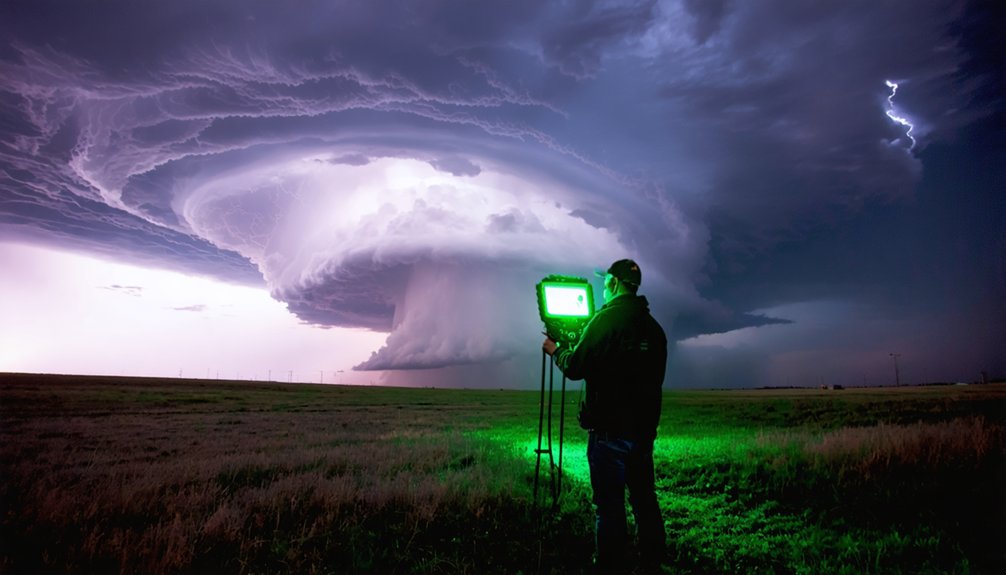
Storm tracking doesn’t just tell you a storm is nearby—it identifies what kind of danger you’re actually facing. Hazard differentiation matters because not every storm demands the same response.
A severe thunderstorm warning signals damaging straight-line winds or large hail. A storm surge warning means life-threatening coastal inundation requiring immediate action. Hurricane warnings confirm sustained winds at 74 mph or greater, while tropical storm warnings cover 39 to 73 mph.
Live radar lets you read each storm signature directly—whether a system is strengthening, producing rotation, or pushing dangerous water inland. That distinction drives smarter decisions: shelter in place, evacuate, or simply monitor.
Without real-time tracking, you’re guessing. With it, you know exactly which hazard you’re dealing with and what your next move should be.
How to Use Hazard Alerts to Start Preparing Immediately
Hazard alerts give you a preparation window, but only if you act on them immediately rather than waiting for conditions to worsen. When a warning activates, treat it as a trigger for three immediate actions:
- Confirm the hazard type — distinguish between a watch and a warning, since each demands a different response level.
- Execute your emergency communication plan — contact your household, confirm meeting locations, and verify that everyone has at least three warning sources active.
- Complete physical preparations — secure property, gather emergency items, and identify shelter before conditions deteriorate.
Hazard awareness means reading alerts as data points, not background noise. NHC issues hurricane updates every three hours during active warnings, giving you repeated decision windows. Use each update to reassess, adjust, and move faster.
How Live Updates Help You Act on Warnings Correctly
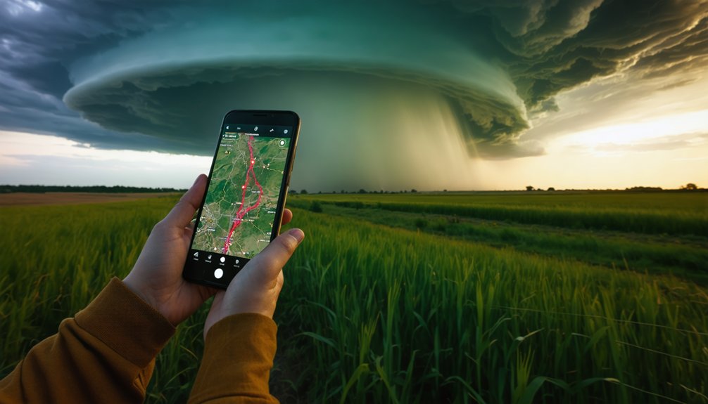
Acting on a warning correctly requires more than receiving it — you need current, continuously updated data to interpret what that warning means in real time.
Research shows nearly 75% of people sought additional information after receiving tornado or severe thunderstorm warnings before deciding what to do. That delay costs time.
Nearly 75% of people seek more information before acting on severe weather warnings — that hesitation costs critical time.
Live updates close that gap by pairing alerts with current radar, hazard maps, and intensity trends, so you’re not guessing.
NOAA data indicates an overall proper warning-use rate of just 17% when receipt, interpretation, and response are combined — a clear failure point.
Strong weather awareness means you’re interpreting, not just receiving.
Real-time tracking converts raw alerts into actionable context, which is the foundation of genuine storm safety and the difference between reacting correctly and reacting too late.
How Storm Tracking Builds Better Weather Habits for Beginners
When you check storm tracking tools regularly, you build a monitoring routine that reduces hesitation during active threats. NOAA’s hurricane guidance recommends using quiet periods to review your plan, meaning tracking has value even before warnings are issued.
That habit directly connects alerts to action by training you to recognize hazard types, interpret warning levels, and respond without delay.
Building Consistent Monitoring Routines
Tracking storms consistently does more than keep you informed—it builds a habit loop that sharpens your weather literacy over time. Regular monitoring connects alerts, hazard types, and protective actions into one repeatable process. Use data visualization tools to recognize each storm pattern before conditions escalate.
Build your routine around three core actions:
- Check hazardous weather outlooks daily, not just during active warnings
- Monitor NHC or NWS updates every 3–6 hours when watches are issued
- Maintain at least three independent warning sources—app, radio, and weather website
Each check reinforces your ability to distinguish watches from warnings, identify hazard-specific risks, and act without hesitation.
Beginners who practice this rhythm respond faster, decide smarter, and stay ahead of dangerous conditions rather than reacting to them.
Connecting Alerts To Action
Storm alerts only protect you if you respond to them correctly—and research shows that’s where most beginners fall short. NOAA data indicates only 17% of people properly receive, interpret, and respond to warnings. That gap exists because alerts without context don’t drive action.
Real-time storm tracking closes that gap by connecting hazard awareness directly to decisions. When you monitor storm behavior live, you can distinguish a tornado warning from a severe thunderstorm watch and respond proportionately—sheltering immediately versus staying alert.
Nearly 75% of people seek confirmation before acting on warnings, so having current maps and radar available reduces that delay. Real-time tracking turns raw alerts into clear, actionable steps: move indoors, secure property, or evacuate.
That’s the difference between information and protection.
Frequently Asked Questions
Which Free Apps Are Best for Beginners to Track Storms Live?
Freely fortify your forecasting with Weather Underground, MyRadar, or NOAA’s app. They’ll deliver weather alerts and strong tracking accuracy, empowering you to monitor live storm data independently, make informed decisions, and stay confidently ahead of dangerous conditions.
Can Real-Time Storm Tracking Work Without a Stable Internet Connection?
Yes, you can receive satellite updates and weather alerts without stable internet through NOAA Weather Radio, which continuously broadcasts real-time data. Battery-powered receivers let you stay informed independently, giving you reliable storm tracking during outages.
How Accurate Is Live Storm Tracking Data for Residential Areas?
Like a compass guiding your path, live storm tracking’s accuracy varies by location. You’ll find historical data and weather prediction models update every few minutes, but residential precision depends on nearby radar coverage and terrain interference.
Should Beginners Monitor Storm Tracking Overnight or During Sleeping Hours?
Yes, you should monitor storm tracking overnight. Set alerts on a weather app to minimize sleep disruption while maintaining storm safety. Automated warnings notify you of critical changes without requiring constant, active monitoring during sleeping hours.
Does Real-Time Tracking Differ Between Mobile Devices and Desktop Computers?
Both offer real-time tracking, but device compatibility shapes your experience. Mobile apps push alerts instantly, while desktops deliver richer data visualization. Data synchronization guarantees you’re never behind, giving you the freedom to monitor storms your way.
References
- https://www.weather.gov/safety/hurricane-ww
- https://www.weather.gov/ind/preparedness
- https://nhess.copernicus.org/preprints/nhess-2020-110/nhess-2020-110.pdf
- https://www.weather.gov/safety/preparedness
- https://www.komu.com/weather/how-people-react-to-severe-weather-alerts/article_37e8d13e-957f-11eb-8848-0b55901366c0.html
- https://www.weather.gov/sjt/skywarn-safety-checklist
- https://www.weather.gov/education/videos
- https://www.weather.gov/lbf/preparedness
- https://www.nhc.noaa.gov/mobile/
- https://weatherstreets.com/how-real-time-storm-tracking-works-from-radar-pulses-to-live-forecast-maps/



