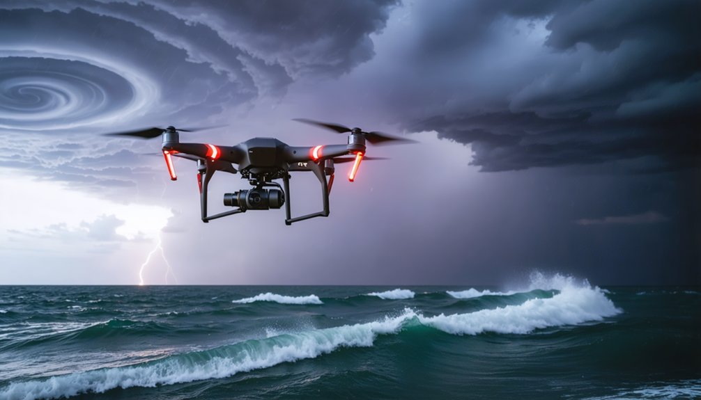
When you analyze hurricane patterns, you’re relying on data storm chasers collect through dropsondes, Doppler radar, and mobile ground sensors. These tools capture pressure, wind speed, temperature, and humidity in real time. Hurricane Hunters fly deliberate figure-4 patterns through the eyewall, while ground teams map horizontal storm structure simultaneously. Together, they fill critical observational gaps that satellites miss. There’s much more to uncover about how this data directly sharpens forecast accuracy.
Key Takeaways
- Storm chasers deploy dropsondes that transmit real-time pressure, temperature, and humidity data from flight level to the ocean surface.
- Doppler radar systems map three-dimensional wind and precipitation fields, revealing storm structure, intensity, and symmetry patterns.
- Minimum central pressure and rapid pressure drops serve as direct indicators of hurricane intensification and destructive potential.
- Ground-based mobile sensors and truck-mounted radar provide surface-level data that validates and enhances airborne observations.
- Real-time storm chaser data fills observational gaps satellites miss, directly improving hurricane intensity forecast accuracy.
How Storm Chasers Actually Collect Hurricane Data
When most people picture storm chasers, they imagine someone filming a hurricane from a roadside—but the actual data collection is far more structured and instrument-driven than that.
Modern storm chaser techniques pull from multiple streams simultaneously: dropsondes transmitting pressure, temperature, and humidity in real time as they descend; Doppler radar mapping wind and precipitation in three dimensions; and mobile ground sensors capturing in situ measurements conventional networks miss.
Storm chasing isn’t one tool—it’s dropsondes, Doppler radar, and ground sensors working in concert.
You’re looking at data collection methods that combine airborne figure-4 flight patterns, tail radar cross-sections, and accurately geolocated imagery into a unified research picture.
When chasers attach precise time and location metadata to their observations, that field data stops being anecdotal and becomes scientifically actionable—feeding directly into forecast centers and improving operational hurricane analysis during active storms.
Pressure, Wind, and the Variables That Define a Storm
Among the variables hurricane researchers track, pressure and wind stand out as the most direct intensity indicators. When you examine minimum central pressure and its rate of change, you’re reading storm intensity in real time. A rapid pressure drop signals intensification; a rising trend near landfall often indicates weakening structure.
Wind speed adds a second dimension to hurricane dynamics, particularly within the eyewall where destructive potential concentrates.
You’ll also find that temperature and humidity define the thermodynamic environment sustaining or degrading storm organization, while radar-mapped precipitation reveals eyewall symmetry and convective band structure.
Combining these variables gives you a three-dimensional picture no single measurement can provide. Pressure trends, wind fields, and precipitation structure together form the analytical foundation for understanding how a hurricane behaves and evolves.
Inside a Hurricane Hunter Flight Mission
Each hurricane hunter mission follows a deliberate flight pattern—typically a figure-4 or butterfly configuration—designed to cross the storm’s inner core multiple times over a mission window that can stretch eight hours.
Understanding hurricane flight dynamics means recognizing how each pass targets the eyewall, where pressure minimums and peak winds concentrate.
As you analyze mission data, you’ll see that dropsondes descend from flight level to the ocean surface, transmitting pressure, temperature, humidity, and wind speed in real time.
These data transmission methods feed directly into operational forecast centers while the aircraft is still airborne.
Tail Doppler Radar simultaneously maps precipitation structure and wind fields.
Combined, these tools give you a three-dimensional snapshot of storm intensity, structure, and behavior that no ground-based system can replicate independently.
How Storm Chasers Map a Hurricane’s Inner Structure
Aircraft give you the vertical cross-section, but storm chasers work the horizontal plane—filling structural gaps that airborne sensors can’t resolve from above. Using storm chaser techniques like truck-mounted Doppler radar and mobile ground probes, you can map wind flow patterns, eyewall symmetry, and convective band placement at surface level.
Hurricane mapping improves considerably when you layer these ground-truth observations against tail radar data collected during flight passes. Accurate time stamps and GPS coordinates transform raw chaser imagery into usable research records.
You’re fundamentally building a three-dimensional structural picture—aircraft handle altitude, chasers handle the ground-level detail.
Pressure readings, wind speed variations, and precipitation structure captured across multiple positions reveal how the storm organizes laterally. That spatial resolution sharpens intensity analysis and strengthens the forecasting models emergency managers rely on.
Why Hurricane Chaser Data Improves Forecast Accuracy
When storm chasers transmit pressure readings, wind speed measurements, and radar-mapped precipitation data in real time, forecast centers receive ground-truth inputs that tighten model accuracy during active storms.
Real time analytics let meteorologists adjust intensity forecasts as central pressure drops or eyewall structure shifts. You can see the operational value clearly when chaser collaboration fills observational gaps that satellite and land-based systems can’t cover during rapid intensification events.
Data integration across aircraft dropsondes, mobile radar, and ground-level probes builds a three-dimensional storm picture that no single platform achieves alone.
When you combine those layered inputs, forecast skill improves because models run on denser, more accurate data. Chasers aren’t just watching storms—they’re actively narrowing forecast uncertainty where it matters most.
Frequently Asked Questions
How Do Storm Chasers Stay Safe While Collecting Data Inside Hurricanes?
You follow strict safety protocols while flying calculated flight paths, keeping data accuracy high through real-time instruments. You’re never improvising — you’re executing precision missions that balance measurable risk against the critical storm data you’re actively collecting.
What Training or Qualifications Do Hurricane Hunters Need Before Flying Missions?
You’ll need flight qualifications, deep weather forecasting knowledge, strict safety protocols mastery, and strong team coordination skills before flying hurricane missions. These competencies guarantee you’re collecting accurate, real-time storm data effectively while maintaining operational independence and crew safety.
How Much Does It Cost to Fund a Full Hurricane Data Collection Campaign?
The available knowledge doesn’t cover specific costs, but when you’re planning budget allocation for a full campaign, you’ll need to research funding sources like NOAA grants, factoring in aircraft, radar systems, and personnel expenses.
Can Citizen Scientists Contribute Meaningfully to Hurricane Research Without Specialized Equipment?
Yes, you can contribute meaningfully through crowdsourced observations—your geotagged photos and timestamped reports feed real research databases. Community engagement transforms distributed civilian data into high-resolution storm reconstructions that specialized instruments alone can’t fully capture.
Want seamless hurricane insights? You’ll find international agencies share chaser data through protocol standardization and data exchange networks, enabling global collaboration. They’re actively using software integration to break borders, giving you unrestricted access to critical storm intelligence.
References
- https://www.weather.gov/ddc/chaser
- https://livestormchasers.com/weather/hurricanes/
- https://journals.ametsoc.org/view/journals/bams/97/11/bams-d-15-00174.1.xml
- https://www.greenskychaser.com/links.html
- https://oceantoday.noaa.gov/hurricanehunters/
- https://news.miami.edu/rosenstiel/stories/2024/09/hurricane-hunters-the-true-storm-chasers.html
- https://www.severestudios.com/storms/hurricanes/
- https://www.youtube.com/watch?v=Bdsi3rQay3g
- https://www.climate.gov/maps-data/dataset/historical-hurricane-tracks-gis-map-viewer
- https://crazystormchasers.com/preparing-for-climate-change-storm-chasers-mission-consequences/