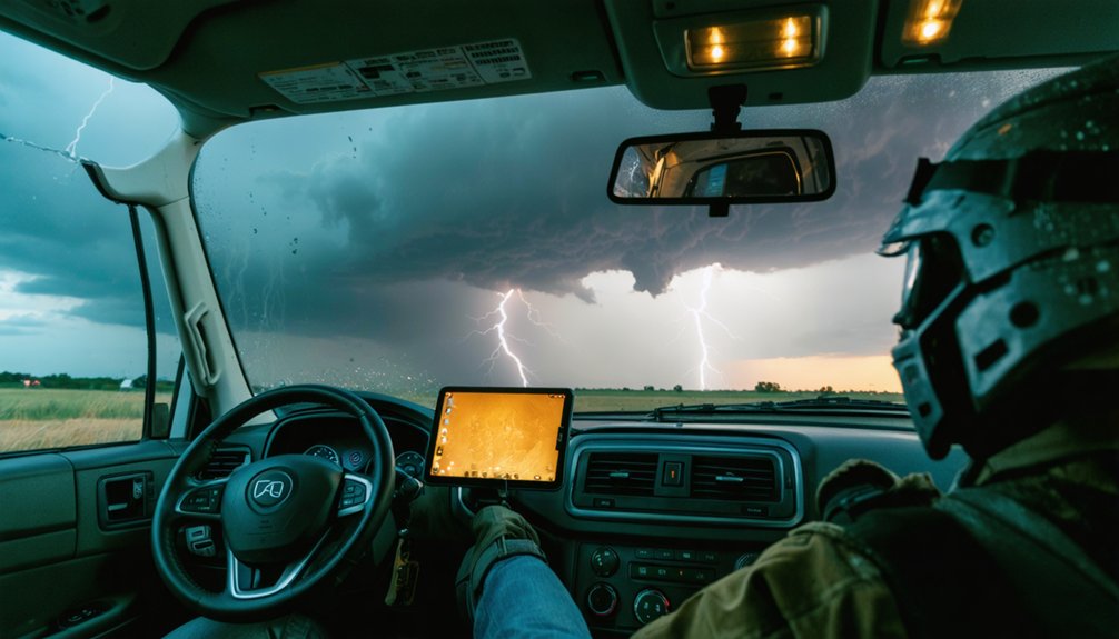
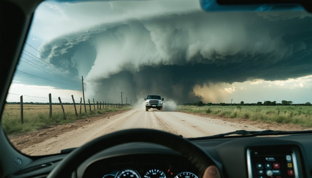
Storm chasing safely means mastering structure recognition, strategic positioning, and real-time decision-making. You should always plan two escape routes, approach storms from the west or south, and never chase without a dedicated co-pilot. Maintain safe distances from wall clouds, slow down in low visibility, and trust visual cues over lagging radar data. Avoid lightning hotspots, downed power lines, and private property. These fundamentals protect your safety—and there’s much more to know before you deploy.
Key Takeaways
- Always pre-map two unobstructed escape routes perpendicular to storm movement before deploying, and reposition immediately when one becomes compromised.
- Approach supercells from the west, south, or east; never from the north, where storm movement creates the greatest danger.
- Maintain a minimum two-mile distance from tightening wall clouds, prioritizing visual cues over potentially lagging radar data.
- Reduce speed 20–25 mph below posted limits in low visibility and keep headlights on in rain, hail, or dust.
- Avoid downed power lines, conductive fences, and elevated objects during active lightning to eliminate electrocution and secondary strike risks.
Learn Storm Structure Before You Ever Deploy
Before you ever put your vehicle in drive and head toward a warned area, you’ve got to understand what you’re actually looking at in the sky. Storm height and cloud types aren’t just academic concepts — they’re critical survival data. A towering supercell with a high, rotating wall cloud behaves differently than a disorganized squall line, and confusing the two can get you killed.
Study storm structure until you can identify inflow bands, the forward flank downdraft, and the rear flank downdraft by sight.
Monitor upper levels to determine which storms are generating the heaviest rain and hail aloft. Use Skew-T diagrams and build your own forecasts before you deploy. That knowledge sharpens your risk assessment and keeps your decision-making grounded in reality, not assumption.
Always Plan Two Escape Routes Before You Move
Every time you position your vehicle near an active storm, you need two clear, unobstructed escape routes already mapped before you stop moving. Storms shift rapidly, and navigation hazards like flooded roads, downed power lines, or debris fields can eliminate an exit without warning.
Identify perpendicular routes—never rely on a single corridor that runs parallel to storm movement.
Establish communication protocols with your team before deploying so everyone confirms escape routes simultaneously. If one route becomes compromised, your partner should already know the alternate without requiring real-time discussion.
Reposition proactively when visibility drops or structure tightens—never wait until you’re reacting under pressure. Your freedom to maneuver depends entirely on decisions made before conditions deteriorate, not during the moment they already have.
Never Storm Chase Without a Dedicated Co-Pilot
When you’re behind the wheel during a storm chase, your sole responsibility is operating the vehicle safely—not reading radar, filming, or monitoring radio traffic.
Assign a dedicated co-pilot to handle navigation, forecasting, and communication so you can keep your eyes on the road and your hands on the wheel.
Splitting these duties isn’t a convenience; it’s a critical safeguard that directly reduces the risk of a split-second mistake costing lives.
Driver Focus Saves Lives
Splitting your attention between driving and monitoring radar is a recipe for disaster in a dynamic storm environment. When you’re behind the wheel, your sole responsibility is vehicle control — nothing else.
Driver fatigue compounds this risk considerably, impairing reaction time precisely when you need it most. Assign your co-pilot all navigation, radar interpretation, and communication duties so you can maintain full situational awareness on the road ahead.
Before deploying, confirm vehicle maintenance is current — brakes, tires, and lighting systems must perform reliably under extreme conditions.
If you’re chasing solo, pull over completely before consulting radar or adjusting equipment. Multitasking at speed near a violent storm isn’t a calculated risk — it’s a preventable mistake.
Protect yourself and others by keeping roles clearly defined and strictly enforced throughout every chase operation.
Splitting Duties Enhances Safety
Two roles define every successful chase operation: driver and co-pilot. You can’t safely navigate a fast-moving supercell while simultaneously monitoring radar, managing crew communication, and tracking escape routes. Splitting duties eliminates dangerous multitasking before it kills you.
Your co-pilot owns navigation, radar interpretation, spotter network updates, and real-time storm positioning. You own the road. That division keeps both functions sharp under pressure.
When visibility drops or a wall cloud rotates overhead, neither role has bandwidth to absorb the other’s responsibilities.
Before deploying, confirm equipment maintenance is complete on all devices your co-pilot depends on — tablets, radios, and mounts. Faulty gear mid-chase forces dangerous improvisation.
Chase with at least one experienced partner, protect your escape routes, and keep every decision clean, fast, and deliberate.
Never Approach a Storm From the North
One of the most critical positioning rules in storm chasing is to never approach a storm from the north. A north approach places you directly in the storm’s path, since most supercells in the Northern Hemisphere move northeast. You’re fundamentally driving into the storm’s origin point, where rotation, large hail, and tornado debris are most concentrated and most dangerous.
Instead, approach from the west, south, or east to maintain a safer angle relative to the storm’s forward motion. These positions give you better visibility of the wall cloud and mesocyclone while keeping clear escape routes open.
If conditions deteriorate, you can reposition quickly without cutting across the storm’s track. Discipline in your approach angle isn’t optional — it’s what keeps you operational and alive.
Slow Down and Use Headlights in Low Visibility
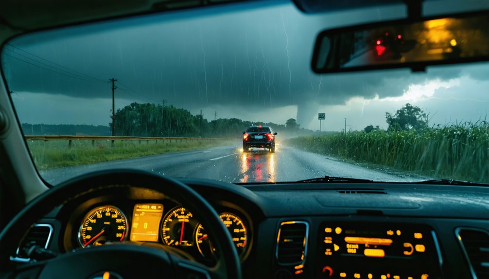
When visibility drops during a storm chase, you’ve got to reduce your speed 20–25 mph below the posted limit immediately. Headlight visibility becomes critical—keep them on whenever rain falls or dust fills the air. Low beam safety isn’t just about seeing ahead; it’s about making your vehicle visible to oncoming traffic.
Picture these conditions demanding immediate action:
- Rain-soaked highways where road markings vanish beneath standing water
- Dust walls swallowing vehicles whole within seconds
- Blinding hail cores reducing sight lines to mere feet
- Twilight storm environments where natural light disappears unpredictably
You’re out there chasing on your own terms—don’t let preventable accidents strip that freedom away. Slow down, lights on, stay in control.
Trust What You See Over What Radar Shows
Radar data lags reality by several minutes, and that delay can kill you. When your screen shows a storm three miles east, that storm’s already moved. Don’t let radar fixation override what your eyes are telling you.
Visual cues are your most current, reliable intelligence in the field.
Weather patterns shift fast. A wall cloud that looked stable thirty seconds ago can drop a funnel before radar refreshes. Keep your head on a swivel, continuously comparing what you’re observing directly against predicted data.
If conditions deteriorate visually, reposition immediately—don’t wait for radar confirmation.
Your freedom to operate safely in the field depends on trusting your senses first. Radar guides your approach; reality dictates your survival.
Never let a screen override a direct threat you can see.
Watch for Rotating Wall Clouds and Stay Back
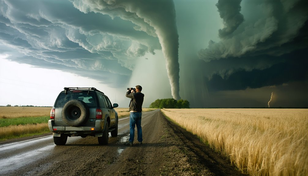
When you spot a rotating wall cloud — a localized, persistent lowering beneath a storm’s rain-free base — recognize it immediately as a strong indicator of tornado development.
You should never drive under or in close proximity to one, as structural collapse and sudden debris ejection can occur without warning.
Maintain a safe viewing distance by positioning yourself at least one mile away, keeping clear escape routes open in case the storm accelerates or changes direction.
Recognizing Rotating Wall Clouds
Rotating wall clouds are one of the most critical visual cues a storm chaser must recognize and respect. A rotating cloud descending sharply beneath a storm’s base signals intense updraft activity and possible tornado development.
Wall cloud formation typically appears as a localized, persistent lowering with visible rotation and inflow tags pulling moisture inward.
Watch for these defining characteristics:
- A distinct, isolated lowering beneath the rain-free base rotating continuously
- Ragged, turbulent edges with rapid vertical motion and inflow streaks
- Persistent structure lasting several minutes rather than brief scud fragments
- Tightening rotation with increasing speed indicating strengthening mesocyclone activity
You’re watching a storm capable of producing a violent tornado. Recognize these features early, maintain a safe distance, and never position yourself directly beneath or north of this structure.
Dangers of Close Proximity
Staying too close to a rotating wall cloud puts you in immediate danger of debris impact, sudden structural collapse, and rapid tornado touchdown with no time to react. Storm debris becomes projectile material at lethal velocities, and lightning strikes increase significantly beneath the electrified base of an intensifying mesocyclone. You don’t get warnings before these hazards materialize.
Maintain a disciplined standoff distance and never position yourself directly beneath or north of a wall cloud. Your escape routes must remain clear and unobstructed before you commit to any stationary observation point.
If the wall cloud tightens, lowers, or rotation accelerates, reposition immediately—don’t wait for confirmation. Trust what you’re seeing visually over radar data, which lags behind real-time conditions.
Distance equals decision time, and decision time keeps you alive.
Safe Viewing Distance Guidelines
Most experienced chasers treat one mile as the absolute minimum safe viewing distance from a rotating wall cloud, though two or more miles provides meaningful margin when a mesocyclone is tightening. Your storm chaser gear should support observation from that buffer, not justify closing it.
- A wall cloud lowering rapidly beneath a rain-free base signals imminent condensation funnel development.
- Debris swirling at ground level often precedes a visible funnel by thirty seconds or more.
- Storm photography from two miles still captures dramatic structure without compromising your exit window.
- A tightening rotation can produce tornado touchdown faster than you can reposition on wet roads.
Never let curiosity compress your distance. Trust what you’re seeing visually over radar, and keep both escape routes completely clear before you stop.
Reposition Immediately When Visibility or Storm Motion Changes
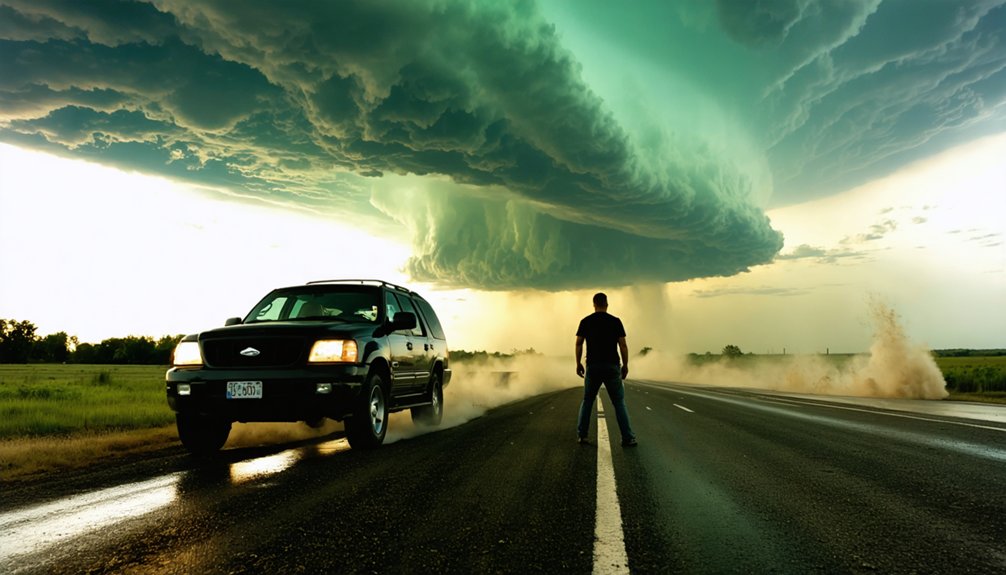
When visibility drops or a storm’s motion shifts unexpectedly, you’ve got to reposition immediately—waiting isn’t an option. Dynamic hazard assessment means continuously reading your environment, not just your radar screen. Radar lags reality; trust what you’re seeing over what the screen shows.
Radar lags reality. When conditions shift, trust your eyes over your screen and move.
Rapid response coordination between driver and navigator is critical here. Your navigator calls the repositioning vector while the driver executes without hesitation. Hesitation costs you your escape route. Maintain at least two viable exits at all times, and the moment one becomes compromised, move.
Reactive repositioning is dangerous—proactive repositioning keeps you in control. If a storm accelerates, wraps in rain, or your forward path closes down, you redirect immediately.
Freedom in storm chasing means staying mobile, not staying put.
Avoid Lightning Hotspots and Downed Power Lines
Lightning doesn’t respect your proximity to a storm—it strikes where conductivity allows, and that includes fences, power lines, and any elevated object near you. Identify lightning hotspots before positioning, and never stand near downed power lines regardless of whether they appear active.
- A fence stretching toward a storm cell becomes a conductor channeling lethal current directly to your hands
- Downed power lines draped across wet asphalt create invisible electrified zones extending outward several feet
- Standing beneath a lone tree during active cloud-to-ground lightning makes you the secondary strike point
- Rolling your windows up and avoiding onboard electronics keeps you insulated inside your vehicle when lightning closes in
If you’re caught outside, kneel low, stay mobile, and eliminate your contact with anything conductive immediately.
Respect Private Property and Stay on Public Roads
Storm chasing doesn’t grant you access to private land, and trespassing creates legal exposure that can end your operations permanently. Respect property boundaries at all times—stay on public roads and pull over only where legally permitted.
If you receive trespass warnings, comply immediately and relocate without argument. Ignoring them risks fines, equipment confiscation, and criminal charges that permanently compromise your ability to chase.
If accessing private land is operationally necessary, seek explicit permission from the landowner before entering. Most won’t refuse when approached respectfully and honestly.
Avoid damaging crops, fences, or infrastructure during repositioning—your presence should leave no trace. Protecting your legal standing preserves your long-term freedom to operate, document storms, and contribute accurate ground-truth data to the broader meteorological community.
Frequently Asked Questions
What Should I Do if Both Escape Routes Become Blocked Simultaneously?
If both escape routes are blocked, you’ve got to act fast—get as low as possible, grab onto something sturdy, activate emergency communication immediately, and identify any nearby storm shelter options to maximize your survival odds.
How Do I Safely Handle Lightning Strikes Very Close to My Vehicle?
Shelter swiftly, stay seated — get inside your vehicle immediately for lightning safety and vehicle protection. Roll your windows up, avoid touching electronics, and don’t exit until the immediate threat passes completely.
Should I Kneel or Lie Flat When Caught Outside During a Tornado?
Kneel or squat—don’t lie flat. When you’re without shelter options or safety gear, get as low as possible and grip something stable to anchor yourself against debris and violent winds threatening your position.
Which Radar Tools Help Identify Storms Producing the Most Hail Aloft?
Grab your spyglass — you’ll want to monitor upper storm levels for hail detection. Master radar interpretation by tracking reflectivity and dual-pol signatures; they reveal which storms are generating the highest hail concentrations aloft.
How Do I Find Experienced Chasers to Mentor Me Before Chasing Alone?
Join storm chasing communities and spotter networks to connect with veterans who’ll share weather forecasting knowledge and storm chasing gear expertise. You’ll gain hands-on mentorship, sharpen situational awareness, and safely build field experience before you’re ever chasing alone.
References
- https://www.atms.unca.edu/cgodfrey/courses/swfex/pdf/ChasingSafety.pdf
- https://www.reddit.com/r/stormchasing/comments/k89wnc/safety_tips_for_storm_chasing/
- https://www.youtube.com/watch?v=nxPSFg2R8YY
- https://midweststormchasers.org/safety-tips/
- https://www.livingskytours.com/storm-chasing-101/
- https://en.wikipedia.org/wiki/Storm_chasing
- https://www.youtube.com/watch?v=6otZLjSZvPU&vl=en
- https://www.youtube.com/watch?v=h28hru7UhY8
- https://crazystormchasers.com/storm-intercept-safety-guide-for-chasers/