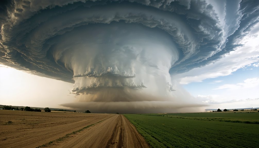
Storm chasers are your frontline reporters as climate change rewrites tornado behavior in real time. You’re seeing tornado alley shift eastward, with the Southeast now facing risks once confined to the central plains. The 2024 season recorded 1,797 confirmed tornadoes, nearly 50% above historical averages in June alone. Prediction models are breaking down, new technology is filling the gaps, and communities remain dangerously underprepared. Everything you need to understand this escalating threat is ahead.
Key Takeaways
- Storm chasers report tornadoes emerging in historically low-risk regions like the Southeast and Gulf Coast, confirming climate-driven geographic shifts.
- Cloud formations and storm behaviors increasingly deviate from established norms, making traditional pattern recognition unreliable.
- Tornadoes now form during previously quiet months, signaling extended seasonal windows linked to warming temperatures.
- Aerial photography reveals rotation patterns and wall clouds appearing earlier and more aggressively than historical norms.
- Rising Gulf moisture fuels intensified storm activity, with chasers observing more volatile conditions in non-traditional zones.
How Climate Change Is Reshaping Tornado Frequency?
Climate change is fundamentally altering tornado frequency, and the numbers back this up. In 2024, you saw 1,797 confirmed tornadoes, making it the second most active year on record. Early June alone produced over 1,200 tornadoes against a historical average of 800.
1,797 confirmed tornadoes in 2024 alone—climate change isn’t a future threat. It’s already rewriting the record books.
Warmer temperatures inject additional atmospheric moisture and energy, directly fueling the thunderstorms that generate these events.
You’re looking at a projected 20% increase in tornado frequency by 2050 if warming trends persist. That trajectory threatens urban infrastructure through structural damage and disrupted utility networks, while agricultural impacts compound as storms destroy croplands and livestock operations.
These aren’t abstract projections—54 fatalities in 2024 confirm the human cost. Understanding this data empowers you to demand smarter preparedness strategies and climate-conscious policy decisions.
Why Tornado Alley Is Shifting Toward the Southeast?
As warming temperatures inject more moisture and energy into the atmosphere, you’ll notice storm paths shifting eastward, pulling tornado activity away from the traditional central plains and toward the Southeast and Gulf Coast.
This shift exposes densely populated regions to risks they’ve historically not faced, amplifying community vulnerability.
You’re also contending with a harder prediction problem, as NOAA confirms that changing trajectories and seasonal irregularities are undermining the historical pattern recognition that forecasters and chasers have long relied on.
Warming Shifts Storm Paths
Warming global temperatures are redrawing the boundaries of Tornado Alley, pushing destructive storm activity eastward toward the Southeast and Gulf Coast. You’re witnessing a measurable shift driven by atmospheric instability amplified by urban heat concentrations and altered moisture dynamics linked to ocean acidification disrupting coastal weather systems.
Historically, Texas, Oklahoma, Kansas, and Nebraska absorbed the brunt of tornado activity. Now, communities across Tennessee, Mississippi, and Louisiana face escalating exposure.
NOAA confirms these trajectories are changing, complicating your ability to predict outbreaks using traditional models.
Warmer air carries greater moisture and energy, intensifying storm formation outside established corridors. This volatility demands that you recalibrate risk assessments, invest in advanced monitoring infrastructure, and abandon assumptions rooted in historical storm patterns that no longer accurately reflect current atmospheric realities.
Southeast Faces New Risks
The Southeast’s vulnerability to tornado activity is escalating as atmospheric dynamics shift eastward, driven by rising Gulf of Mexico sea surface temperatures that pump unprecedented moisture into the region’s lower troposphere. You’re watching a convergence of variables that traditional Tornado Alley models never anticipated.
Urban heat islands across Atlanta, Charlotte, and Nashville amplify instability gradients, intensifying supercell development over densely populated corridors. Meanwhile, coastal erosion along Gulf shorelines removes natural terrain buffers, accelerating inland storm penetration with diminished frictional resistance.
NOAA’s trajectory data confirms tornadoes aren’t just visiting the Southeast—they’re establishing residency. Communities that historically faced minimal rotation risks now confront EF2+ events during non-traditional seasons. You need adaptive infrastructure, updated warning frameworks, and localized preparedness strategies that reflect this fundamentally altered meteorological reality.
Predicting Tornadoes Grows Harder
Predicting tornado behavior has grown exponentially harder as Tornado Alley’s boundaries dissolve into something meteorologists never modeled for. Historical patterns once gave chasers reliable seasonal windows and geographic targets. That framework’s breaking down fast.
NOAA’s data confirms tornadoes now strike outside traditional zones with increasing regularity, hitting urban infrastructure that wasn’t engineered with direct tornado exposure in mind. You’re dealing with denser populations, complex wind channeling between structures, and emergency systems untested against this threat level.
The eastward shift introduces atmospheric variables that existing prediction models handle poorly. Humidity gradients from the Gulf Coast interact differently with incoming cold fronts than Great Plains conditions do. You can’t apply old forecasting logic to new terrain.
Accuracy gaps widen, response windows shrink, and communities pay the price.
New Regions Now Facing Deadly Tornado Risks
As tornado activity shifts eastward, you’ll find communities in the Southeast and Gulf Coast now absorbing risks historically concentrated in the central plains.
This trajectory change exposes population-dense areas less conditioned for tornado threats, compounding fatality risks markedly.
You can trace this vulnerability directly to NOAA’s observed pattern shifts, which have rendered traditional preparation models increasingly inadequate for newly affected regions.
Tornado Alley Shifts East
Where tornadoes once carved predictable paths through Texas, Oklahoma, Kansas, Nebraska, and South Dakota, they’re now striking with increasing frequency across the Southeast and Gulf Coast. NOAA’s data confirms this eastward trajectory shift, fundamentally disrupting historical storm modeling and community preparedness frameworks.
You’re watching a pattern emerge that challenges everything storm chasers previously understood. Urban resilience becomes critically tested when population-dense southeastern communities, historically less prepared for tornado impacts, face escalating strike probabilities.
Ecosystem impacts compound the danger, as altered storm corridors disrupt regional environments unprepared for this severity.
The unpredictability demands you recognize that traditional Tornado Alley designations no longer define the full risk landscape. Advanced monitoring systems, recalibrated evacuation protocols, and updated tracking technologies aren’t optional — they’re essential adaptations to this demonstrably shifting threat environment.
Vulnerable Communities Face Risks
Communities across the Southeast and Gulf Coast aren’t built for what’s coming. Historically, these regions lacked the infrastructure, warning systems, and cultural awareness that Tornado Alley communities developed over decades. That gap now translates directly into casualties.
You’re looking at populations where emergency preparedness remains underfunded and undertested. Mobile homes concentrate in rural southern counties, structures that offer virtually no protection against EF2+ tornadoes. When storms shift eastward, they’re hitting communities without reinforced shelters or practiced evacuation protocols.
Community resilience depends on honest risk assessment. The December 2024 outbreak killed over 90 people across five states—many in areas that historically considered tornado threats minimal. You can’t afford outdated assumptions.
Adapting means investing in localized warning infrastructure, public education, and response frameworks before the next outbreak demands it.
The 2024 Tornado Season by the Numbers
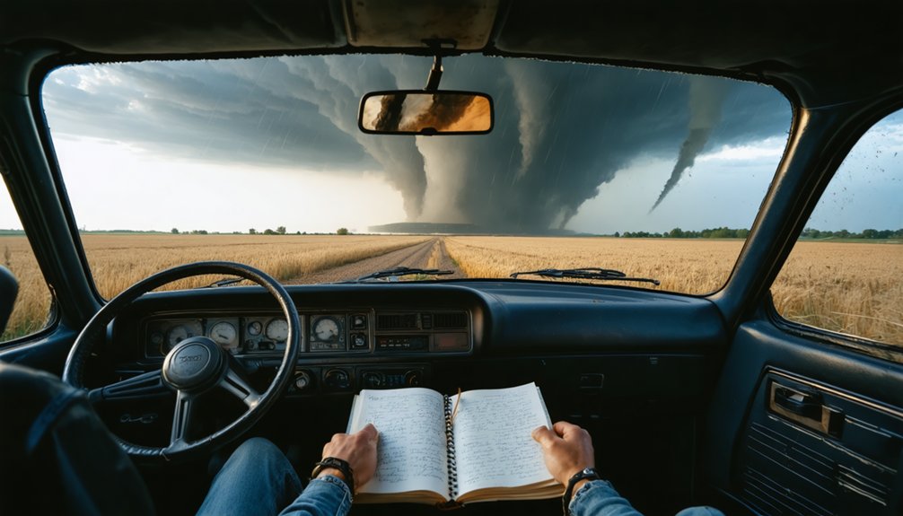
The 2024 tornado season delivered staggering numbers that demand close attention. You’re looking at 1,880 preliminary tornado reports, with 1,797 confirmed instances, making it the second most active year on record.
Early June alone produced over 1,200 tornadoes, nearly 50% above the historical average of 800.
These figures aren’t abstract. Urban infrastructure absorbed repeated strikes, straining emergency response systems and exposing critical vulnerabilities in city planning.
Every tornado strike exposes what city planners hoped you’d never notice—infrastructure built for yesterday’s storms.
Agricultural impacts compounded the crisis, with crops, livestock, and rural supply chains sustaining significant losses across multiple states.
Behind the statistics, 54 fatalities remind you that data represents real human cost.
Warmer temperatures inject more atmospheric moisture and energy into storm systems, accelerating both frequency and severity.
You can’t afford to treat these numbers as outliers—they’re establishing a troubling new baseline.
What Storm Chasers Are Witnessing in the Field?
Storm chasers aren’t just tracking storms—they’re documenting a fundamental shift in how and where severe weather develops. You’re seeing tornadoes emerge in regions historically considered low-risk, with cloud formations behaving outside established meteorological norms. The Southeast and Gulf Coast now demand the same vigilance once reserved for Tornado Alley.
Aerial photography reveals structural storm characteristics that ground-level observation simply can’t capture—rotation patterns, wall cloud development, and mesocyclone organization appearing earlier and more aggressively than recorded baselines suggest.
You’re also witnessing tornadoes forming during months that previously offered predictable quiet periods.
These field observations confirm what data increasingly supports: storm trajectories are shifting, seasonal windows are expanding, and the atmospheric conditions breeding severe weather are intensifying. What chasers document today directly informs tomorrow’s preparedness strategies.
Why Forecasters Can No Longer Predict Tornadoes the Same Way?
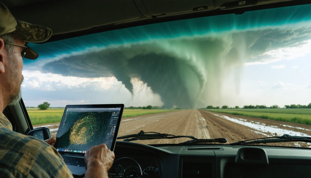
Predicting tornadoes once relied on established seasonal patterns, geographic hotspots, and atmospheric baselines that held relatively consistent across decades. That framework is now breaking down.
NOAA confirms tornado trajectories are shifting eastward, threatening urban infrastructure and agricultural impacts across regions historically outside primary risk zones. You’re seeing tornadoes emerge in December, strike Gulf Coast communities unprepared for high-frequency events, and develop outside traditional Tornado Alley boundaries.
Forecasters can’t apply yesterday’s models to today’s atmospheric conditions when warmer temperatures continuously inject additional moisture and energy into storm systems. The predictive variables keep changing.
Without adaptive AI integration and high-resolution radar analysis, accurate advance warnings become structurally compromised. Static forecasting methodology simply doesn’t account for climate-driven volatility rewriting tornado seasonality and geographic distribution simultaneously.
The Tornado Technology Storm Chasers Now Depend On
As storm patterns grow more volatile and unpredictable, chasers can’t rely on conventional equipment to track what climate change is producing. You’re now operating in environments where satellite advancements deliver real-time, high-resolution imagery that older radar systems simply couldn’t capture. These tools let you monitor storm rotation, moisture levels, and trajectory shifts with far greater precision.
Data integration is equally critical. You’re pulling feeds from mobile radar, AI-driven forecasting models, and ground sensors simultaneously, merging them into actionable intelligence mid-chase. That convergence of information cuts reaction time and sharpens decision-making when conditions deteriorate rapidly.
Equipment durability remains a persistent challenge. Extreme conditions stress hardware, and bandwidth gaps can interrupt transmission at the worst moments. Staying ahead of these storms demands continuous technological investment and operational adaptability you can’t afford to ignore.
How Storm Chasers Have Overhauled Their Safety Protocols
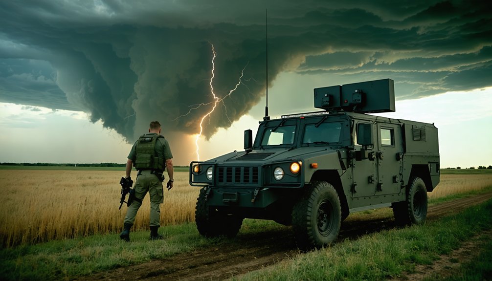
Chasing storms today means operating under a fundamentally different safety framework than a decade ago. You’re now expected to complete regular emergency drills that simulate rapid vehicle egress, communication failures, and sudden trajectory shifts. These aren’t optional—they’re embedded into pre-season certification requirements.
Your safety gear has also evolved considerably. Reinforced helmets, fire-resistant suits, and GPS-integrated wearables now represent baseline equipment rather than upgrades.
Mental health assessments have entered standard protocol, recognizing that repeated trauma exposure compromises decision-making in the field.
Real-time data feeds allow you to recalibrate positioning within seconds, reducing unnecessary exposure.
Communication hierarchies ensure every team member knows their role when conditions deteriorate fast.
The protocol overhaul reflects one clear reality: unpredictability demands discipline, not improvisation.
Why Most At-Risk Communities Are Still Underprepared?
While storm chasers have overhauled their safety frameworks, most at-risk communities haven’t kept pace. You’ll find that resource gaps, outdated infrastructure, and policy inertia leave millions exposed to increasingly volatile storm patterns.
Resource gaps and policy inertia leave millions exposed while storm safety frameworks evolve without them.
Community resilience doesn’t develop automatically—it requires deliberate investment in early warning systems, evacuation planning, and public education.
Emergency preparedness shortfalls are especially acute in regions experiencing tornado activity for the first time. These communities lack the institutional knowledge that traditional Tornado Alley towns have built over decades.
When storms shift eastward into the Southeast and Gulf Coast, you’re looking at populations without embedded response culture or adequate shelter infrastructure.
The data is clear: 54 fatalities in 2024 and a December outbreak killing 90 people across five states confirm that unpreparedness carries a measurable, preventable human cost.
Frequently Asked Questions
How Does Mental Health Support Help Storm Chasers Manage Trauma Effectively?
Mental resilience isn’t just theoretical—it’s proven. When you access emotional support, you’ll process traumatic storm encounters more effectively, sharpen analytical focus, and maintain the psychological clarity needed to make critical, life-saving decisions during increasingly unpredictable severe weather events.
Which Collaborative Data Platforms Are Storm Chasers Currently Using to Share Findings?
You’re leveraging data sharing through emerging collaboration platforms that integrate AI, satellite feeds, and real-time radar networks. These systems let you pool storm findings collectively, enhancing predictive accuracy and ensuring critical meteorological insights reach researchers and communities faster.
How Do Burn Scars From Wildfires Worsen Tornado-Related Landslide Risks?
When you examine wildfire aftermath, you’ll find burn scars strip vegetation, destabilizing slopes. Tornado-driven flash floods then saturate exposed soil, dramatically amplifying landslide risk—you’re fundamentally facing compounded hazards where fire-damaged terrain can’t absorb sudden, intense precipitation.
What Financial Investments Are Governments Making in Advanced Storm Tracking Technologies?
You’re tracking gaps, you’re facing limits—financial funding for technological advancements in storm tracking isn’t fully detailed here, but investing in AI, radar, and satellite systems remains critical to enhancing your storm prediction capabilities.
How Does Increased Atmospheric Moisture Directly Influence Tornado Formation and Strength?
When atmospheric humidity rises, you’ll notice it directly fuels tornado intensity by injecting more energy into thunderstorms. Warmer, moisture-laden air accelerates updrafts, strengthens wind shear, and amplifies rotational forces—creating more powerful, destructive tornadoes than you’ve historically seen.
References
- https://environment.leeds.ac.uk/icas-research-impact/doc/storm-chasers-making-life-saving-forecasts
- https://www.youtube.com/watch?v=uFGdZeKtYnI
- https://crazystormchasers.com/climate-change-and-the-future-challenges-for-storm-chasers/
- https://www.nationalgeographic.com/travel/article/storm-chasing-is-an-exhilarating-rush-but-is-it-safe
- https://climatecosmos.com/climate-news/i-chased-tornadoes-for-a-decade-heres-what-i-learned-about-natures-fury/
- https://www.cosmopolitan.com/lifestyle/a39895714/storm-chasers-climate-change/