Effectively communicating risk findings to your storm chasing team means locking in decision triggers, clear roles, and message formats before you deploy. You can’t afford vague warnings when conditions deteriorate fast. Cognitive fatigue and information overload compress your response window, so your communication system must prioritize actionable insights over raw data. Consistent update cycles and a defined decision hierarchy eliminate hesitation when it matters most. The frameworks, tools, and protocols ahead will sharpen how your team executes under pressure.
Key Takeaways
- Pre-define decision triggers, explicit thresholds, and named decision-makers before deployment to eliminate ambiguity during high-pressure storm scenarios.
- Use a 60-second update cycle with consistent message formats to reduce cognitive load and maintain tactical awareness.
- Convert radar data into immediate field calls, prioritizing tilt-by-tilt analysis during tornadic conditions over delayed thorough assessments.
- Prioritize hazards systematically: tornado dynamics first, confirmed mesocyclone signatures second, large hail third, and road safety fourth.
- Treat near-misses as structured data points, documenting communication gaps and corrective actions to continuously refine risk protocols.
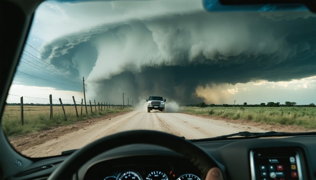
Why Risk Communication Fails Storm Chasers in the Field
Even with access to high-resolution radar, mobile communication tools, and real-time model data, risk communication still breaks down for storm chasers when it matters most.
Communication barriers rarely stem from missing data—they emerge from how that data reaches you under pressure.
Information overload compresses your response time, forcing rapid triage of competing alerts while cognitive fatigue dulls your judgment.
When situational awareness degrades mid-chase, even accurate warnings lose their operational value.
Technology reliance introduces another layer of risk: you start trusting the screen over what’s unfolding outside the window.
Trust issues develop when messages arrive too late, too vague, or misaligned with field conditions you’re already observing.
The emotional impact of near-misses and rapidly escalating threats further distorts how you process incoming risk findings.
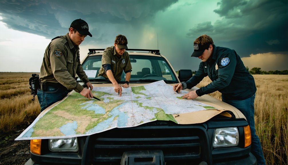
Build a Decision Framework Your Storm Chasing Team Can Execute Fast
Your decision framework fails the moment your team debates authority during a rapidly evolving storm—so define decision triggers and field roles before you chase.
Assign explicit thresholds, such as gate-to-gate shear values, storm motion speed changes, or road-viability cutoffs, that automatically shift your team’s posture from approach to reposition or disengage.
Pair each trigger with a named decision-maker who holds authority to act without waiting for team consensus, because consensus has no place in a shrinking safety window.
Define Clear Decision Triggers
When a storm environment shifts faster than your team can deliberate, a pre-defined decision framework isn’t optional — it’s operational.
Decision triggers remove hesitation by converting observable conditions into immediate action.
Define risk thresholds before you deploy. Assign specific values to measurable variables: rotation velocity, storm motion speed, hail size, and escape-route viability. When a threshold is crossed, the corresponding action executes — no debate required.
Examples worth building into your protocol:
- Approach: Storm motion under 20 mph, no confirmed rotation
- Reposition: Rotation intensifying, forward speed increasing
- Disengage: Confirmed mesocyclone within 5 miles, roads compromised
Pre-defined decision triggers protect your team’s autonomy. You’re not reacting to chaos — you’re executing a plan you already chose when your judgment was clear.
Assign Field Decision Authority
Decision triggers only work if someone’s authorized to call them. Without clear field authority, your team hesitates when hesitation costs you position—or your safety.
Assign decision delegation before you deploy. Designate one person as the operational lead with explicit authority to reposition, disengage, or abort the chase. That authority shouldn’t require consensus during a fast-moving supercell.
Secondary roles should be defined too—who monitors radar, who tracks egress routes, who relays reports to NWS SKYWARN channels.
Document the hierarchy. Everyone on your team should know exactly who calls each decision tier. When visibility drops or rotation intensifies, there’s no time to negotiate authority.
Clear field authority eliminates ambiguity, accelerates response, and keeps your team executing instead of deliberating. That autonomy is what keeps your options open.
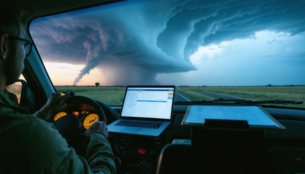
How to Translate Radar Data Into Actionable Field Calls
When you’re reading radar in the field, you’re not just observing data—you’re converting velocity couplets, reflectivity gradients, and storm motion vectors into movement decisions with a shrinking time window.
Every threshold you identify, whether it’s rotation tightening above 100 knots or a hook echo collapsing toward your position, must map directly to a pre-established field call: approach, reposition, or disengage.
Translating that data into action requires a shared interpretive framework your team executes without hesitation, because hesitation in a rapidly evolving storm environment is itself a decision with consequences.
Reading Radar For Action
Radar data doesn’t wait for you to catch up—so your ability to read it quickly and translate it into a field call is what separates a well-executed intercept from a dangerous one.
Sharp radar interpretation means scanning for rotation signatures, hook echoes, and velocity couplets before you’re within range to regret missing them. You’re not just reading pixels—you’re extracting actionable insights that drive your next move: approach, hold, or exit.
Prioritize tilt-by-tilt analysis when storms go tornadic. Low-level shear tightening faster than mid-level shear tells you the threat is organizing quickly.
Pair that with storm motion vectors, and you’ve got a positioning decision, not a guess.
Speed matters. A clean read executed in thirty seconds beats a thorough analysis finished too late.
Translating Data Into Decisions
Hazard identification loses value without fast team coordination.
Assign one voice per update, keep transmissions under ten seconds, and demand confirmation.
Rapid response depends on clarity, not volume.
Strip every message down to what moves the team.
Radar Thresholds And Field Calls
Fast coordination sets the stage, but it means nothing if the person delivering the update can’t translate what the radar is actually showing into a field call.
Radar interpretation without threshold analysis produces noise, not decisions.
Anchor your field calls to three specific triggers:
- Rotation exceeding 50 knots on velocity scan — initiate repositioning immediately
- Hail core diameter expanding past one mile — reroute away from the forward flank
- Storm motion increasing beyond 40 mph — reassess your escape corridor now
Each threshold tells your team exactly when to move, not just what’s happening.
You’re converting raw data into a binary choice: stay or go.
Strip the commentary, name the number, and issue the call.
That’s how radar interpretation actually protects the team.
Tornado, Hail, and Road Threat: How to Rank Hazard Priority
When multiple threats converge in a single storm environment, you need a clear hazard-ranking system that tells your team what to act on first.
Tornado dynamics take top priority because rotation can intensify faster than repositioning allows. Treat confirmed mesocyclone signatures as immediate triggers for movement decisions.
Hail formation ranks second. Large hail can disable vehicles, eliminate visibility, and compromise your escape options. Once radar shows cores exceeding one inch, route exposure becomes a critical variable in your hazard assessment.
Road safety ranks third but directly amplifies both prior threats. Flooded intersections, downed lines, and debris fields can trap your team during storm tracking, turning manageable risk into life-threatening exposure.
Your risk evaluation framework must weight these hazards sequentially, ensuring your team responds to the right threat at the right moment.
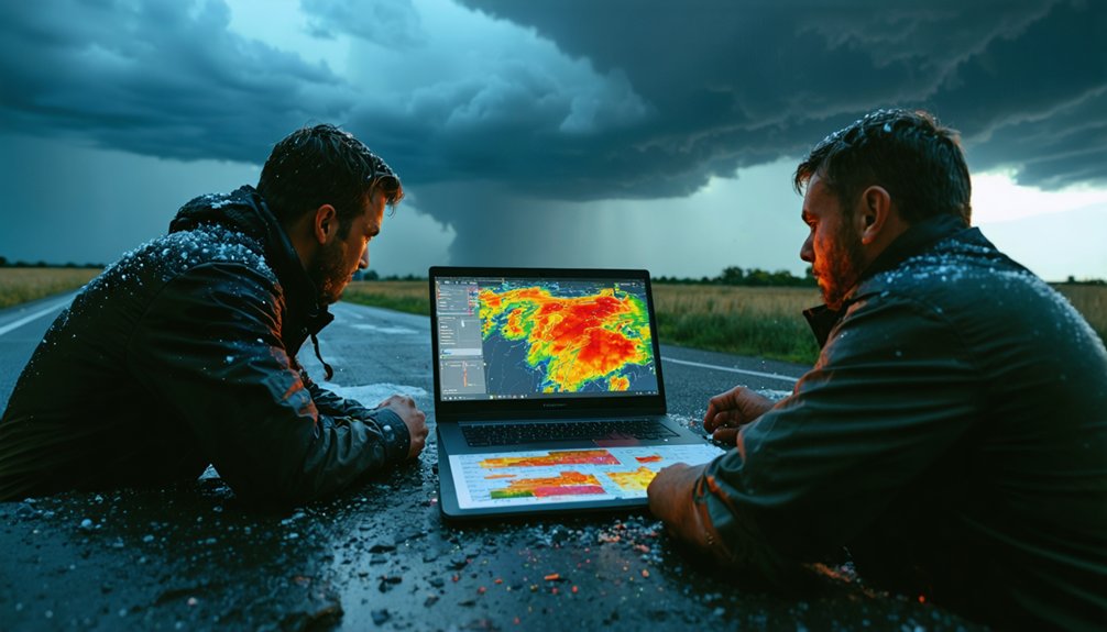
GPS, Mobile Radar, and Messaging Tools That Support Active Chases
Ranking hazards correctly only helps your team if the information behind those rankings reaches you fast enough to act on it.
Three tools anchor real-time coordination during active chasing:
- GPS Tracking — confirms crew positions against storm motion, keeping escape routes viable.
- Mobile Radar — delivers localized hazard information and rotation trends directly into your decision support workflow.
- Messaging Tools — push risk updates across the team instantly, replacing delayed radio calls with structured, readable alerts.
Communication devices tie these layers together.
When tactical awareness depends on a 60-second update cycle rather than a 15-minute forecast refresh, your tools can’t lag behind the storm.
Integrate these systems before deployment, test them under load, and guarantee every team member interprets outputs identically when conditions compress your decision timeline.
Use the Same Risk Update Format on Every Chase
Standardizing your risk update format across every chase removes a hidden failure point: the moment a crew member has to decode an unfamiliar message structure while conditions are deteriorating. Consistent format eliminates that cognitive load.
Structure every risk update identically: threat label, threshold, operational implication, recommended action. Your team’s rapid assessment capability depends on message simplification that doesn’t require interpretation under pressure.
Structure your risk updates identically every time—your team’s rapid assessment depends on messages that need no interpretation under pressure.
Pair text updates with visual aids—radar overlays, boundary markers, egress routes—using the same layout each time. This reinforces situational awareness without demanding reorientation.
Communication clarity improves when team alignment isn’t accidental but procedural. Standard procedures aren’t restrictions on your autonomy—they’re infrastructure that protects your freedom to make fast, confident field decisions.
Decision consistency follows directly from format consistency. Don’t improvise the structure; improvise within it.
Pair Text Alerts With Visuals That Speed Up Field Decisions
Format consistency gets your message delivered in a recognizable structure—but structure alone doesn’t close the gap between receiving information and acting on it. Visual clarity does. Pairing text alerts with targeted graphics accelerates data interpretation and sharpens situational awareness when seconds matter.
Three visuals that directly improve decision speed:
- Radar snapshots — attach current rotation signatures to confirm alert accuracy and eliminate guesswork.
- Route overlays — map storm motion against your egress corridors for immediate risk visualization.
- Boundary markers — highlight mesocyclone positions to support real time updates without cognitive overload.
Graphic simplicity isn’t aesthetic preference—it’s operational discipline. Dense visuals slow comprehension and erode communication efficiency.
Keep overlays clean, labels minimal, and message consistency tight. Your team reads the image first; make sure it answers the right question instantly.
Clarity breaks down faster than any storm system when your team doesn’t share a common language. Shared terminology eliminates guesswork during high-stakes moments when communication clarity directly determines response readiness.
Before you chase, define your severity labels, hazard prioritization levels, and threshold triggers. Agree on what “imminent rotation” means versus “developing circulation.” Standardize terms for message urgency so everyone interprets escalation identically.
Consistent language strengthens decision consistency because team coordination fails when members assign different weights to the same phrase.
Keep your vocabulary list focused on information simplicity—fewer terms used precisely beat extensive lists used loosely. Embed this shared language into your risk assessment framework so situational awareness stays synchronized across every crew member, whether they’re driving, spotting, or relaying data.
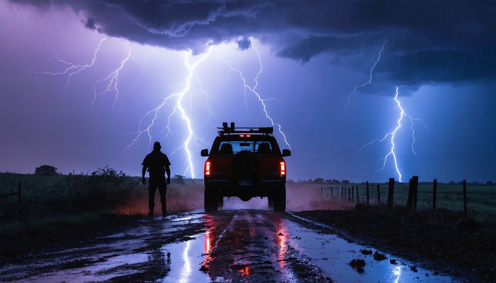
Review Near-Misses to Strengthen Your Risk Communication Protocol
Every near-miss your team survives is a structured data point, not just a close call. Near miss analysis transforms dangerous moments into actionable lessons learned that sharpen your protocol refinement process.
Run post-event feedback loops using three focused questions:
- Where did communication gaps delay a critical movement decision?
- Did data interpretation fail under pressure, reducing clarity improvement?
- Which situational drills would have prepared the team better?
Your risk assessment protocol only strengthens when it absorbs real-world friction. Training simulations built from actual near-misses outperform generic scenarios because they reflect your team’s specific decision patterns and failure points.
Real protocols grow stronger by absorbing friction — not avoiding it.
Document every gap, assign corrective actions, and schedule follow-up situational drills before your next deployment. Freedom in the field depends on a protocol tight enough to trust completely.
Frequently Asked Questions
How Do You Communicate Risk Findings to Inexperienced Storm Chasers Joining Your Team?
You’ll need structured training sessions that translate technical risk data into clear, actionable decisions. Use visual aids like radar overlays and boundary maps so inexperienced chasers quickly recognize threats and confidently choose to approach, reposition, or disengage.
Yes, you should share real-time data with the National Weather Service. The collaboration benefits everyone—your ground-truth reports strengthen official warnings, improve forecast accuracy, and ultimately protect both your team and the broader public.
How Often Should Risk Communication Protocols Be Updated Between Storm Chasing Seasons?
“An ounce of prevention is worth a pound of cure.” You should conduct seasonal reviews after each chase season, making protocol adjustments based on field reports, near-misses, and new tools to keep your team’s freedom and safety intact.
Can Storm Chasing Risk Communication Strategies Apply to Other Extreme Weather Field Operations?
Yes, you can apply these strategies to wildfire monitoring, flood response, and hurricane operations. They strengthen disaster preparedness and emergency response by delivering localized, threshold-based risk updates that support fast, independent field decisions across any extreme weather environment.
What Legal Responsibilities Do Storm Chasers Have When Communicating Hazard Findings Publicly?
You’re not legally required to report hazards publicly, but you carry ethical obligations to avoid spreading false alerts. Liability considerations arise if your inaccurate communications trigger panic or misdirect emergency response decisions.
References
- https://riskculturebuilders.com/articles/stormchasing-success-in-the-effective-management-of-risk/
- https://pmc.ncbi.nlm.nih.gov/articles/PMC6553581/
- https://www.weather.gov/media/nws/IHC2022/SocialScience_effectivewarnings_IHC.pdf
- https://journals.ametsoc.org/view/journals/wcas/12/2/wcas-d-19-0131.1.xml
- http://www.ou.edu/research-norman/news-events/2020/how-weather-forecasters-communicate-risk-in-extreme-weather-events.html
- https://www.nationalacademies.org/projects/DELS-BASCPR-23-01
- https://www.albany.edu/news-center/news/2021-risk-communication-experts-analyze-visual-responses-tornado-warning-graphics
- https://seagrant.noaa.gov/social-science-and-severe-weather-evaluating-a-new-tornado-risk-communication-tool/
- https://ams.confex.com/ams/106ANNUAL/meetingapp.cgi/Paper/476535
- https://www.youtube.com/watch?v=xI6t8eoh-dM