Before your first chase, you’ll need to master SPC outlook interpretation, surface analysis, and hodograph reading to identify viable targets. You must approach storms from the south or southeast, maintain two escape routes, and reposition proactively. Real-time radar fluency—velocity data, hook echoes, and dual-polarization products—is non-negotiable. You shouldn’t chase solo your first season; a partner dramatically improves situational awareness. Every skill covered here becomes sharper the further you go.
Key Takeaways
- Study SPC outlooks, surface analysis, and hodographs before chasing to identify instability, shear, and optimal target zones.
- Master radar interpretation by analyzing velocity data, hook echoes, and dual-polarization products to track rotation accurately.
- Always plan at least two paved escape routes, prioritizing south or east directions, before approaching any storm.
- Conduct pre-chase gear audits ensuring charged devices, a physical road atlas, and essential vehicle emergency supplies are ready.
- Chase with an experienced partner to manage radar, navigation, and escape route monitoring more safely and effectively.
Read the Storm Chasing Forecast Before You Leave
Before you ever pack your chase kit, you’ll want to pull up the Storm Prediction Center’s convective outlook and work through the key atmospheric parameters driving the day’s setup. Check CAPE values, CIN, bulk shear, and storm-relative helicity to assess tornado potential.
Before packing your chase kit, pull up the SPC outlook and assess CAPE, CIN, bulk shear, and storm-relative helicity first.
Review Skew-T diagrams and hodographs to confirm favorable storm structure before committing to a target.
Surface analysis and upper-air charts reveal moisture depth, cap strength, and forcing mechanisms that numerical models sometimes mishandle. Cross-reference model output against observed data to sharpen your forecast confidence.
Mastering core weather terminology isn’t optional—it’s how you accurately interpret mesoscale discussions and refine your target area. Always identify a fallback target because conditions shift fast.
The forecast is your operational foundation; everything else builds from it.
How to Pick the Right Storm Chasing Target
Once the SPC releases its convective outlook, you should cross-reference the categorical risk areas with surface boundaries, moisture pooling, and wind shear parameters to identify your primary target zone.
Don’t commit rigidly to that target, though — mesoscale conditions shift quickly, and you’ll need at least one fallback area identified before you leave home.
Build your fallback target around the same parameters, focusing on regions where instability and shear overlap if your primary zone underperforms.
Reading Convective Outlooks Early
Picking the right chase target starts the night before, when the Storm Prediction Center releases its convective outlook. Review the Day 1 outlook carefully, noting categorical risk levels, hatched areas for significant tornadoes, and the reasoning behind each probability contour. These details reveal the storm environment the SPC expects to develop.
Cross-reference the outlook with surface analysis, upper-air charts, and hodographs to identify severe indicators like strong low-level shear, backed surface winds, and elevated CAPE values. Don’t rely on a single product. Stack multiple data sources to confirm whether the target holds up under scrutiny.
Identify your primary target zone early, then establish a fallback. Mesoscale conditions shift fast, and locking in flexibility before you leave home keeps you ahead of the storm, not chasing it from behind.
Planning Fallback Target Areas
Even the most well-reasoned primary target can collapse by mid-morning when a surface boundary stalls, a capping inversion holds too long, or convective initiation fires 150 miles east of your expected zone. That’s why you identify two or three fallback targets before leaving home.
Study the SPC mesoscale discussion updates and watch for surface observation trends that signal where initiation’s actually likely to occur. Build your fallback targets around road network density, fuel access, and mobile data coverage — all critical to your emergency preparedness when conditions shift fast.
Establish clear communication protocols with any chase partners before departure so everyone agrees on pivot criteria. Define measurable thresholds — storm motion exceeding 40 knots, initiation timing delayed past 22Z — that automatically trigger your fallback plan without debate.
Gear Every New Storm Chaser Actually Needs
Gear failures in the field don’t just cost you the shot—they can cost you your safety. Treat equipment maintenance as non-negotiable before every chase day.
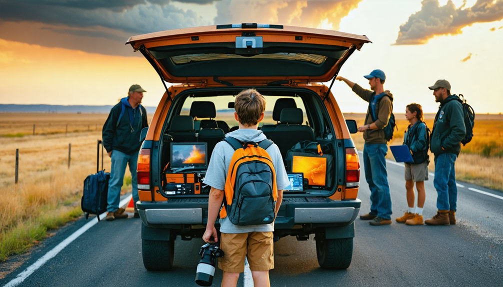
Your core kit should include a fully charged phone with mobile data, a backup battery pack, and a tablet running RadarScope or GRLevel2. Polarized sunglasses reduce glare when you’re reading storm structure visually.
A first-aid kit, dashcam, and tripod round out your baseline load. For storm safety, carry a physical road atlas—cell coverage fails in rural terrain.
Keep a full-size spare, tire iron, and jumper cables in your vehicle. Audit your gear the night before, not the morning of. Every item you skip is a variable you can’t control when conditions turn fast.
How to Approach and Escape a Storm Safely
Positioning relative to a storm determines whether you chase it or survive it. Approach from the south or southeast to avoid the hail core and precipitation shaft typically tracking northeast.
Positioning relative to a storm determines whether you chase it or survive it.
Storm proximity should stay close enough for observation but far enough that a forward-moving mesocyclone doesn’t eliminate your margin. Before stopping anywhere, identify at least two escape routes — preferably heading south or east — and confirm road surfaces are paved or stable enough for rapid departure.
Never let a storm cut off your exit. Rear-flank downdrafts can accelerate tornado motion unpredictably, compressing your decision window to seconds. Proactive repositioning beats reactive scrambling every time.
If your escape routes are closing, move immediately — documentation isn’t worth a compromised exit.
What Radar Is Telling You in Real Time
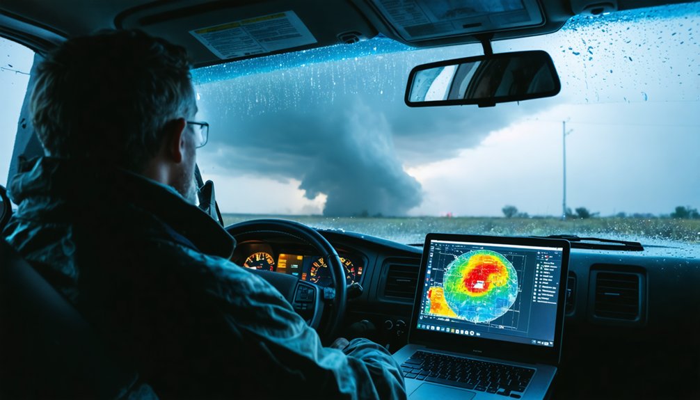
Radar is your primary real-time intelligence feed once storms initiate. Learn to read velocity data alongside reflectivity so you’re tracking rotation, not just precipitation. A hook echo signals possible tornado development, while a bounded weak echo region indicates a powerful updraft ingesting low-level air. Gate-to-gate shear on velocity scans confirms mesocyclone tightening before anything is visible in the field.
Radar interpretation demands you monitor multiple scan angles. Low-level tilts reveal surface circulation; mid-level tilts show storm organization aloft. Divergence at the top signals a strengthening updraft.
Recognizing these storm signatures early gives you decision-making time before repositioning becomes critical. Use RadarScope or GRLevel2 for full dual-polarization data. Real freedom in the field comes from understanding exactly what the atmosphere is doing before it surprises you.
Why You Shouldn’t Chase Alone Your First Season
Why would you want to compress your learning curve while simultaneously managing a moving vehicle, live radar, storm positioning, and half a dozen escape route decisions at once? Solo risk compounds fast in dynamic storm environments.
Independence challenges emerge the moment conditions shift unexpectedly—a road floods, a tornado jogs east, your data connection drops.
A second set of eyes isn’t a crutch; it’s a force multiplier. Your partner monitors rear-flank downdraft progression while you drive. They track updated SPC mesoscale analysis while you execute a southbound repositioning. They call out the hail core closing from the north while you’re locked onto the wall cloud.
Your first season builds foundational instincts. Build them with an experienced mentor beside you, not despite their absence.
Frequently Asked Questions
How Do I Stay Calm When a Tornado Changes Direction Unexpectedly?
Keep your wits about thee—you’ve trained for this. Trust your escape routes, monitor radar actively, and reposition south. Storm safety and emergency preparedness demand you act on data, not panic, when directions shift unexpectedly.
What Legal Rules Apply When Chasing Storms on Private Rural Roads?
You must stay on public roads unless you’ve secured explicit landowner permission. Respect trespass laws, verify your insurance policies cover off-road incidents, and confirm equipment regulations comply locally—your freedom depends on disciplined, lawful operational conduct.
How Do Experienced Chasers Handle Sudden Road Closures During Active Chases?
When the road ahead “disagrees with your route,” you pivot fast. You’ve got fallback targets ready, you’re pulling live weather updates, and you’re rerouting south or east to maintain storm safety without missing intercept windows.
When Should a New Chaser Decide to Completely Abandon a Chase Day?
Abandon your chase day when storm safety’s compromised—watch weather alerts signaling rapidly shifting mesoscale conditions, deteriorating road networks, loss of escape routes, or CAPE/shear parameters no longer supporting manageable intercept geometry. You’re free to quit; smart chasers do.
How Do I Build Connections With Experienced Mentors Before My First Chase?
Like a rookie stepping into the eye of opportunity, join Skywarn training programs and SPC forums. You’ll connect with mentors who’ll guide your storm safety protocols and equipment preparation before you’re ever in the field.
References
- https://www.ziprecruiter.com/e/What-are-the-key-skills-and-qualifications-needed-to-thrive-in-the-Storm-Chasers-position-and-why-are-they-important
- https://www.youtube.com/watch?v=6otZLjSZvPU&vl=en
- https://www.youtube.com/watch?v=6otZLjSZvPU
- https://www.tornadosimulator.net/storm-chaser-beginner-guide/
- https://crazystormchasers.com/storm-chasing-for-beginners-your-first-chase-checklist/
- https://www.gabegarfield.com/blog/zerotohero
- https://www.reddit.com/r/stormchasing/comments/bbe2w0/any_tips_for_a_beginner_storm_chaser/