Before every chase, you’ll need to check the SPC Convective Outlook, assess tornadic ingredients like CAPE, wind shear, and surface dewpoints, and identify a triggering mechanism. Map at least two escape routes, accounting for deviant storm motion and road conditions. Share real-time GPS coordinates with a trusted contact, and carry HAM radio with programmed repeater frequencies when cell service fails. These seven structured protocols separate controlled risk management from dangerous improvisation—each tip builds a framework worth mastering completely.
Key Takeaways
- Check the SPC Convective Outlook and interpret discussion sections to assess severe weather risk classifications and timing uncertainties before chasing.
- Evaluate tornadic ingredients including surface dewpoints, CAPE values, wind shear, and triggering mechanisms like drylines or frontal boundaries.
- Identify at least two viable escape routes, accounting for road conditions, flood-prone crossings, and potential deviant storm motion.
- Share real-time GPS coordinates with a trusted contact and update chase plans as storm conditions evolve continuously.
- Use HAM radio and push-to-talk systems as primary communication tools when cellular networks become unreliable during severe weather.
Read the SPC Outlook Before Every Storm Chase
Before heading out, check the Storm Prediction Center’s Convective Outlook to get a clear picture of the day’s severe weather potential.
SPC interpretation goes beyond reading risk categories — you’ll want to dig into the discussion sections for deeper context on storm trends and atmospheric dynamics driving the setup.
Risk classifications range from Marginal to High, but numbers alone don’t tell the complete story. Weather patterns shift, and the written discussion reveals forecaster reasoning behind those classifications, including timing uncertainties and confidence levels.
Your risk assessment improves considerably when you cross-reference the outlook with mesoscale analysis and regional weather patterns.
Don’t skip this step — it’s your foundation for every positioning decision you’ll make throughout the chase day.
Know the Ingredients That Make a Storm Go Tornadic
On chase day, your ingredient assessment starts with mesoscale analysis, satellite imagery, surface observations, and local radiosondes to determine whether atmospheric conditions can support tornadic development.
You’re evaluating tornado ingredients across three critical layers: moisture, lift, and wind shear. Check surface dewpoints, CAPE values, and mid-level lapse rates simultaneously.
Strong directional and speed shear in the lowest kilometer drives storm dynamics toward supercell organization and rotation. Verify that a triggering mechanism—dryline, frontal boundary, or outflow boundary—exists to initiate convection.
Without sufficient low-level jet enhancement, even high CAPE environments won’t produce tornadoes. Cross-reference your radiosonde data against mesoscale analysis to confirm ingredient overlap in your target zone.
Where all three converge sharply, your probability of witnessing tornadic activity increases substantially.
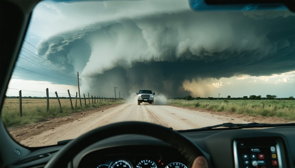
Map Your Escape Routes Before You Need Them
Escape route planning demands the same analytical rigor you apply to storm ingredient assessment—identify a minimum of two viable exits before you’re within intercept range.
Study your target county’s road grid, flagging flood-prone low-water crossings and dead-end sections that’ll eliminate alternative pathways under pressure.
Account for deviant storm motion. A supercell tracking ENE at 35 knots can shift NE without warning, instantly compromising your primary exit.
Cross-reference road surface conditions with recent precipitation data—a muddy county road becomes impassable when you need it most.
Verify cell coverage along each corridor before deployment. When data fails, your pre-mapped alternatives keep you mobile and in control.
Freedom in the field depends entirely on preparation executed before the storm dictates your options.
Never Let Both Escape Routes Get Blocked at Once
Mapping those routes means nothing if you let both of them close simultaneously. Storm motion shifts fast, and complacency kills.
Maintain continuous escape route planning awareness by treating both exits as active operational priorities, not afterthoughts.
Before engagement, complete route verification on both paths:
- Confirm road surface conditions, including water crossings and bridge load limits
- Track real-time storm motion vectors against your exit corridor alignments
- Identify deviant storm motion risks that could compromise your secondary route
If one route deteriorates, immediately reposition to preserve your second option.
You’re not surrendering ground; you’re protecting your freedom to move. The moment both exits become questionable, you’ve already lost tactical control.
Disengage early. Your margin disappears faster than radar updates can reflect.
Spot the RFD Gust Front Before It Spots You
The RFD gust front will end your chase or your life if you misread it. Master RFD identification techniques before you’re close enough to regret the gap in your knowledge.
The RFD gust front dynamics present a distinctive horseshoe-shaped configuration wrapping around the meso. Watch your radar for that notch structure and cross-reference it against what you’re seeing visually — low-scud racing inward signals active inflow, while an abrupt wind shift means the RFD’s already cutting across your position.
You need real-time RadarScope or GR overlays tracking velocity data. When surface winds rotate and surge outward suddenly, you’ve lost your margin.
Spot the gust front’s leading edge on radar first, then confirm visually, keeping your escape route perpendicular to its movement.
Before you deploy, log your chase plans—including your target area, intended route, and estimated return time—with a trusted contact who can relay that information to emergency services if needed.
Once you’re in the field, broadcast your real-time GPS coordinates continuously through platforms like Spotter Network or share them directly with your chase team via HAM radio or push-to-talk systems.
As storm conditions evolve and your position changes, update your team immediately, since a location that’s 20 minutes old is operationally useless during a fast-moving convective event.
Log Your Chase Plans
Every storm chase begins with a critical pre-deployment step: logging your chase plans and sharing your real-time location with a designated contact. Proper chase documentation guarantees someone always knows your operational status during high-risk environments.
Before departure, complete these three essential steps:
- Log your target area, planned routes, and estimated return time with a trusted contact for accurate risk evaluation.
- Share continuous GPS coordinates using real-time tracking apps, keeping your team updated as storm positioning evolves.
- Communicate chasing intentions to the National Weather Service or Spotter Networks, contributing critical field data.
If conditions deteriorate and emergency services become necessary, your logged plans provide exact coordinates and operational context.
You’re not just protecting yourself — you’re enabling faster, more precise emergency response.
Sharing your real-time GPS location before every storm chase isn’t optional — it’s a fundamental operational protocol that directly impacts emergency response efficiency.
Activate GPS tracking through dedicated apps or HAM radio systems, transmitting your coordinates continuously to designated team members. Location sharing eliminates critical response delays if you become incapacitated or trapped by rapidly evolving storm conditions.
Configure your GPS tracking platform to broadcast updates at minimum 30-second intervals, ensuring your team maintains accurate positional data during high-speed repositioning maneuvers.
If a 911 call becomes necessary, you’ll transmit exact coordinates immediately — eliminating guesswork for emergency dispatchers operating in unfamiliar rural terrain.
Consistent location sharing preserves your operational independence while maintaining the safety infrastructure that keeps every chase mission viable and recoverable.
Update Team Continuously
Real-time GPS tracking establishes your positional baseline, but static location data becomes operationally useless the moment conditions shift.
Team communication must remain continuous, not periodic. Push situation updates whenever parameters change.
Transmit updates when these critical triggers occur:
- Your target area shifts due to storm motion deviations
- Escape routes become compromised by flooding or debris
- Storm structure indicates imminent tornado development
Your team can’t make informed support decisions without current field intelligence.
Stale data creates dangerous coordination gaps when emergency services need your exact position.
Use HAM radio, push-to-talk systems, or live GPS sharing platforms to maintain unbroken communication loops.
Freedom to chase aggressively depends entirely on your team knowing your real-time operational status, not your position from thirty minutes ago.
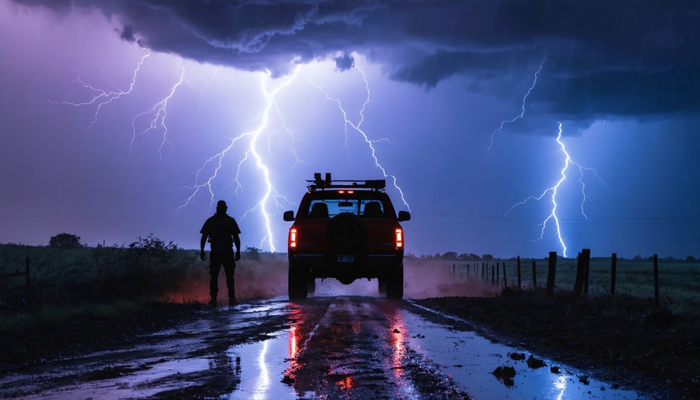
Use HAM Radio and Push-to-Talk When Cell Service Fails
When cell towers become overloaded or physically damaged during severe weather events, HAM radio and push-to-talk (PTT) systems become your primary communication lifeline.
HAM radio benefits extend beyond simple voice transmission — licensed operators access repeater networks, emergency frequencies, and SKYWARN coordination channels that cellular infrastructure simply can’t replicate.
Push-to-talk reliability remains consistent precisely when commercial networks fail under surge demand or storm damage.
Obtain your Technician-class HAM license before deploying.
Program local repeater frequencies and NOAA simplex channels into your radio before departure.
PTT devices using dedicated satellite-linked networks like Iridium or Zoleo provide additional redundancy.
Store emergency contacts, team coordinates, and NWS frequencies in your radio’s memory banks.
Independence from commercial networks means you maintain operational control regardless of infrastructure conditions — that freedom defines effective storm communication.
Frequently Asked Questions
Which Radar Software Tools Are Best for Real-Time Storm Tracking?
For real-time storm tracking, you’ll want GR2Analyst, RadarScope, or RadarOmega. These tools offer superior radar accuracy, intuitive user interfaces, and robust tracking features. Software comparisons show RadarScope’s mobile flexibility and GR2Analyst’s advanced data-driven analysis stand out.
How Do I Check Cell Coverage Before Entering a Storm Target Area?
Check coverage maps from every carrier on Earth before entering your target zone. Cross-reference local networks for cell signal dead zones, ensuring emergency communication stays live. You’ll want AT&T, Verizon, and T-Mobile’s online mapping tools verified simultaneously.
What Vehicle Features Matter Most for Extended Storm Chasing Operations?
You’ll need vehicle durability, fuel efficiency, and weatherproofing features to sustain long operations. Prioritize navigation systems for real-time routing, pack essential safety equipment, and don’t overlook comfort amenities—they’ll keep you sharp during extended, unpredictable chases.
How Far in Advance Should Weather Models Be Monitored for Storm Development?
You should monitor weather models 3-5 days in advance for storm prediction opportunities. Track model accuracy daily, as earlier runs carry uncertainty. Refine your target area as data converges closer to chase day.
Which Geographic Regions in the US Carry the Highest Tornado Risk?
Like a bullseye on a map, Tornado Alley—Texas, Oklahoma, Kansas, and Nebraska—commands the highest tornado frequency in the U.S. You’ll want to master tornado safety protocols before chasing these statistically dangerous, freedom-demanding plains.
References
- https://stormtrack.org/threads/basic-storm-chasing-process.29691/
- https://www.wiu.edu/SevereWeather/images/presentations/How_to_Effectively_Storm_Chase.pdf
- https://midweststormchasers.org/safety-tips/
- https://www.youtube.com/watch?v=nxPSFg2R8YY
- https://www.mercuryinsurance.com/resources/weather/seven-safety-tips-for-tornadoes-you-must-know.html
- https://www.weather.gov/ama/SEVERESAFETYTIPS
- https://www.tempesttours.com/safety-tips