Mastering waterspout chasing means understanding the atmospheric triggers—temperature gradients, wind shear, and moisture—that drive formation. You’ll need to distinguish fair weather waterspouts from tornadic types, since each demands different safety margins and tracking strategies. Pair real-time Doppler radar monitoring with sharp visual cue recognition to predict activity before it develops. The right camera gear, pre-planned exit routes, and rehearsed safety protocols separate successful chasers from dangerous ones. Everything you need to execute this precisely is ahead.
Key Takeaways
- Waterspouts form from temperature gradients, wind shear, and moisture; recognizing these conditions helps chasers predict and locate formation zones effectively.
- Fair weather waterspouts develop upward from calm surfaces, while tornadic types descend from supercells, making correct identification critical for safety.
- Use Doppler radar, rotating cloud bases, and converging surface winds as reliable visual and technological indicators of waterspout development.
- Essential gear includes a full-frame camera, telephoto lens, weather-sealed equipment, GPS, and emergency radio for safe, effective documentation.
- Shoot in RAW format at ISO 100–400, f/8–f/11, with fast shutter speeds to capture sharp, detailed waterspout imagery.
What Actually Causes a Waterspout to Form?
How does a column of rotating water seemingly materialize out of thin air? It starts with three converging variables: temperature gradients, wind shear, and moisture levels.
When warm water temperature heats the air directly above the surface, that air rises rapidly, creating instability. Cooler air rushes in to replace it, establishing rotation.
Wind shear then amplifies this effect. Shifts in wind direction and speed near the water’s surface organize that rotation into a tightening column.
Meanwhile, adequate moisture levels ensure the atmosphere carries enough water vapor to sustain the developing vortex and make it visible.
You’re essentially watching thermodynamic conflict play out in real time. Understanding these mechanics lets you anticipate formation events rather than react to them, giving you a decisive tactical advantage in the field.
Fair Weather vs. Tornadic Waterspouts: Know the Difference
When classifying waterspouts, you’ll encounter two distinct types: fair weather and tornadic.
Fair weather waterspouts form under developing cumulus clouds in low wind shear environments, while tornadic types descend from supercell thunderstorms, making them markedly stronger and more destructive.
You’ll also notice a stark difference in lifespan and mobility, as fair weather waterspouts last only 5 to 10 minutes and remain relatively stationary.
In contrast, tornadic waterspouts can travel considerable distances before dissipating.
Formation Conditions Compared
Although both fair weather and tornadic waterspouts share a dependence on moisture and atmospheric instability, their formation conditions differ sharply. Understanding these distinctions lets you anticipate which type you’re tracking.
- Fair weather waterspouts develop from the water surface upward, requiring low wind shear and calm, humid conditions.
- Tornadic types descend from cumulonimbus cloud formation, driven by intense rotational energy within supercell storms.
- High wind shear environments actively suppress fair weather development while fueling tornadic waterspouts.
- Fair weather variants need steep temperature gradients between warm water surfaces and cooler overlying air.
- Tornadic waterspouts demand pre-existing mesocyclone rotation, making them far more unpredictable and dangerous.
You’ll need to assess these variables in real time. Misidentifying formation type compromises your safety strategy and documentation approach entirely.
Size And Strength Differences
Size and strength set these two waterspout types apart more decisively than any other factor. Your size comparison must account for fair weather waterspouts, which are narrower, shorter-lived, and structurally weaker. They typically span only a few meters in diameter and dissipate within 5 to 10 minutes.
Tornadic waterspouts, however, demand a more rigorous strength analysis. They’re considerably wider, structurally intense, and capable of traveling significant distances after formation.
You’ll notice tornadic variants carry destructive wind speeds comparable to land-based tornadoes, making them exponentially more dangerous. Fair weather types produce minimal damage potential, while tornadic ones can devastate vessels and coastal infrastructure.
Understanding these distinctions lets you make informed, independent decisions about positioning, safety margins, and documentation strategy during active chase operations.
Lifespan And Travel Distance
Beyond raw size and strength, lifespan and travel distance define how much tactical preparation each waterspout type demands. Understanding waterspout duration and travel range lets you allocate resources efficiently and position yourself strategically.
- Fair Weather waterspouts average 5–10 minutes of waterspout duration, limiting your documentation window.
- Tornadic waterspouts sustain considerably longer lifespans, demanding extended tracking protocols.
- Fair Weather types remain relatively stationary, reducing repositioning requirements.
- Tornadic waterspouts carry a broader travel range, crossing considerable distances after initial formation.
- Tracking tornadic movement requires continuous radar monitoring and pre-mapped evacuation corridors.
You’ll need to treat each type as a distinct tactical scenario. Fair Weather events reward quick deployment; tornadic events demand sustained vigilance.
Misreading either type’s behavior compromises both your safety and your documentation quality.
Cloud and Wind Signals That Predict Waterspout Activity
When scanning the sky for waterspout precursors, you’ll want to focus on two primary indicators: cloud structure and wind behavior. Towering cumulus or cumulonimbus cloud formation signals atmospheric instability, providing the vertical moisture column necessary for development. Watch for rotating cloud bases or dark, flattened cumulus structures directly above water surfaces.
Wind pattern analysis demands equal attention. You’ll need to identify low wind shear conditions, where minimal variation in wind speed and direction exists across altitude layers. Converging surface winds near water bodies create the rotational foundation waterspouts require.
Cross-reference these signals simultaneously. A developing cumulus column combined with shifting surface winds indicates imminent formation potential. Real-time Doppler radar confirms what your visual assessment suggests, giving you actionable intelligence before conditions escalate.
Track Live Weather Data Before and During the Chase
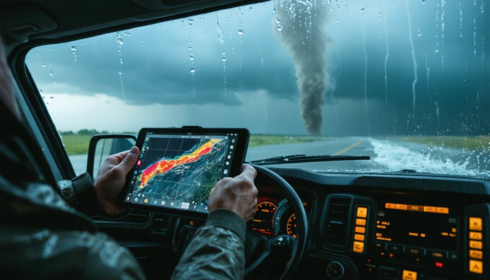
Before heading out, you’ll want to pull up high-resolution Doppler radar applications on your smartphone or tablet to track atmospheric conditions in real time.
As you monitor the data, identify towering cumulus or cumulonimbus cloud formations, since these serve as reliable precursors to waterspout activity.
Set up push alerts from trusted meteorological services so you’re receiving immediate updates on pressure shifts, wind shear changes, and severe weather warnings throughout the chase.
Real-Time Radar Monitoring
Real-time radar monitoring is your most critical tool for tracking waterspout activity before and during a chase. Doppler radar combined with satellite analysis lets you identify atmospheric instability patterns before they escalate.
Monitor high-resolution radar applications on your smartphone or tablet continuously throughout the expedition.
Prioritize these five data points during active monitoring:
- Towering cumulus or cumulonimbus cloud signatures indicating rapid atmospheric destabilization
- Low wind shear zones where minimal speed and directional changes exist with altitude
- Moisture convergence areas showing concentrated humidity over water surfaces
- Pressure gradient shifts revealing developing instability pockets
- Real-time severe weather alerts from trusted meteorological services providing immediate formation warnings
Cross-referencing radar returns against satellite imagery sharpens your positional accuracy, letting you intercept formations efficiently while maintaining calculated distances for safety.
Identifying Key Cloud Formations
Tracking live weather data transforms raw atmospheric signals into actionable intelligence, but only if you know which cloud formations to prioritize. Target towering cumulus and cumulonimbus structures first—they signal rapid atmospheric instability and moisture-laden updrafts essential for waterspout development.
Monitor wind patterns carefully. Converging surface winds beneath developing cumulus columns indicate rotational energy building at lower altitudes. You’re looking for organized cloud bases that lower progressively, suggesting sustained updraft momentum.
A dark, wall-like lowering beneath a cumulus base confirms intensifying rotation. Cross-reference this visual data with Doppler radar returns to validate what you’re observing directly.
When cloud formation aligns with favorable low wind shear conditions and adequate moisture readings, you’ve identified a high-probability development zone worth positioning toward immediately.
Setting Up Weather Alerts
Weather alerts function as your early warning system, and configuring them correctly before deployment separates proactive positioning from reactive scrambling. Subscribe to trusted meteorological services that deliver real-time data on cloud formation shifts and wind shear fluctuations.
Configure these five alert parameters before each chase:
- Doppler radar updates — Set refresh intervals to five minutes or less
- Wind shear thresholds — Flag alerts when directional variance increases rapidly with altitude
- Humidity spikes — Monitor moisture surges exceeding 80% relative humidity
- Cloud formation triggers — Activate notifications when towering cumulus development is detected
- Severe weather watches — Enable immediate push notifications from national weather agencies
Cross-reference multiple platforms simultaneously. Single-source reliance creates blind spots. High-resolution radar apps paired with satellite imagery give you the situational awareness needed to stay ahead of developing conditions.
Essential Gear Every Waterspout Chaser Needs
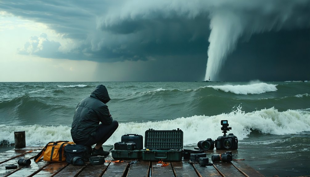
Chasing waterspouts demands specialized gear that balances safety, documentation, and real-time situational awareness. To capture these spectacular formations and other atmospheric phenomena effectively, you’ll need a full-frame DSLR or mirrorless camera body with strong ISO performance.
Pair it with a 70-200mm or 100-400mm telephoto lens to document activity from a safe distance.
Polarizing filters and fast shutter speeds freeze dynamic motion precisely. Always carry reliable emergency radios and GPS devices for navigation and communication.
Personal flotation devices and weather-resistant clothing are non-negotiable safety essentials.
For weather monitoring, use high-resolution radar applications on smartphones or tablets to track real-time conditions. Emergency communication tools complete your kit, ensuring you maintain situational awareness while pursuing and documenting these powerful, transient meteorological events with maximum efficiency and safety.
Camera Gear That Captures Waterspout Detail From a Safe Distance
When selecting a camera body, you’ll want a full-frame DSLR or mirrorless system with strong ISO performance to handle rapidly shifting light conditions near open water.
Pair your body with a telephoto lens in the 70-200mm or 100-400mm range, giving you the reach to document waterspout structure without compromising your safety margin.
Lock in exposure settings at ISO 100-400, aperture f/8 to f/11, and apply a polarizing filter to cut glare and maximize contrast in your shots.
Optimal Camera Body Selection
Selecting the right camera body directly determines the quality and detail you’ll capture from a safe distance. Full-frame DSLRs and mirrorless systems deliver superior ISO performance, critical for rapidly shifting light conditions over open water.
Camera ergonomics matter considerably—you’ll need intuitive controls accessible without breaking focus during fast-moving events.
Lens stabilization compensates for boat movement and wind interference, preserving sharpness.
Prioritize these specifications:
- Full-frame sensor for maximum dynamic range and low-light capability
- High ISO performance (6400+) without notable noise degradation
- Weather-sealed body resistant to moisture and salt spray exposure
- Fast continuous shooting rate (8+ fps) to capture rapid formation stages
- Dual card slots ensuring redundant backup of irreplaceable footage
These features combined give you precise, professional-grade documentation every expedition.
Essential Telephoto Lens Choices
Telephoto lenses define how much usable detail you’ll extract from a safe standoff distance, making focal length selection a critical operational decision.
For waterspout documentation, you’ll want focal lengths between 70-200mm for wider contextual shots and 100-400mm for isolating structural detail within the column itself. The 100-400mm range delivers superior reach without sacrificing optical sharpness or maneuverability in field conditions.
Lens compatibility with your camera body directly impacts autofocus speed and image stabilization performance—two non-negotiable factors when tracking fast-moving atmospheric phenomena. Verify that your chosen lens communicates fully with your camera’s processor to maximize these capabilities.
Variable aperture zoom lenses offer flexibility, though prime telephoto options provide superior light transmission. Prioritize weather-sealed construction, as coastal humidity and sea spray will aggressively challenge unprotected glass during active chasing operations.
Filters And Exposure Settings
Once you’ve locked in your lens selection, filters and exposure settings become the next variables separating usable footage from blown-out or noise-heavy frames. Dial these in before conditions shift.
- Use polarizing filters to cut glare off water surfaces and boost contrast
- Keep ISO between 100–400 to suppress noise in high-detail shots
- Apply aperture techniques around f/8–f/11 for maximum sharpness across the frame
- Set fast shutter speeds to freeze the waterspout’s rotating column without motion blur
- Prioritize filter maintenance by cleaning glass before each chase to eliminate smearing
Manual mode gives you full control when light shifts rapidly. You’re not waiting for the camera to decide—you’re executing deliberate, calculated adjustments.
Clean filters and locked exposure settings mean every frame you capture holds documentary and scientific value.
Shoot Like a Pro: Camera Settings for Waterspouts
Capturing waterspouts with professional-grade results demands precise camera settings that balance exposure, motion, and depth of field. These meteorological phenomena require you to adapt quickly to shifting atmospheric dynamics and unpredictable lighting.
Set your ISO between 100 and 400 to minimize digital noise while maintaining clean image quality. Select apertures between f/8 and f/11 to maximize sharpness across the waterspout’s full vertical structure. Deploy fast shutter speeds to freeze the spout’s rotational motion without introducing blur.
Switch to manual focus for precise control when autofocus struggles with contrast variations. Shoot in RAW format to preserve maximum dynamic range for post-processing flexibility.
Continuously reassess your exposure triangle as lighting conditions shift, ensuring you’re capturing technically accurate documentation of each formation stage.
Plan Your Waterspout Chase Route and Map Your Exits
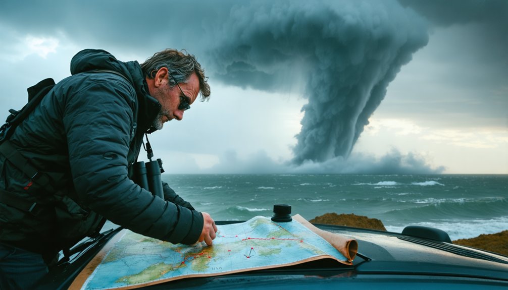
Before heading out, you’ll need a well-defined chase route that accounts for waterspout trajectories, access points, and rapid exit strategies. Effective route planning keeps you mobile, informed, and in control.
- Analyze Doppler radar and satellite imagery to predict waterspout movement corridors.
- Identify multiple access points along coastlines or water edges for repositioning flexibility.
- Map evacuation routes before departure, prioritizing roads perpendicular to storm motion.
- Establish communication checkpoints with your team at timed intervals during the chase.
- If caught on water, execute exit strategies by moving at a 90-degree angle from the waterspout’s apparent trajectory.
Your route isn’t static—adjust continuously as atmospheric conditions shift.
Freedom in chasing comes from preparation, not improvisation. Lock in your exits before you ever leave shore.
How to Stay Safe When a Waterspout Gets Close
Route planning keeps you mobile, but when a waterspout closes in, mobility alone won’t protect you—execution will. Water safety depends on decisive, pre-rehearsed action, not improvisation under pressure.
If you’re on the water, immediately turn your vessel toward shore. Don’t hesitate—waterspouts shift direction unpredictably. When reaching shore isn’t viable, navigate at a 90-degree angle relative to the waterspout’s apparent path. This trajectory maximizes your lateral separation from its course.
Emergency preparedness means your PFDs are already on, your communication devices are active, and your team understands assigned roles before conditions deteriorate.
Designate one person to monitor radar while another manages navigation.
Never assume a Fair Weather waterspout is harmless—conditions escalate fast. Execute your protocol exactly as rehearsed. Your preparation is your freedom.
Common Waterspout Chasing Mistakes to Avoid
Even experienced chasers repeat costly errors that compromise both safety and documentation quality. Unrelated weather myths and misread historical waterspout incidents frequently distort judgment, pushing chasers into dangerous positions.
You’ll improve outcomes by eliminating these recurring mistakes:
- Underestimating tornadic waterspouts by misclassifying them as fair-weather types
- Ignoring real-time Doppler radar updates during active pursuit
- Using incorrect focal lengths, sacrificing image sharpness and safe standoff distance
- Believing unrelated weather myths about waterspout predictability or movement patterns
- Failing to pre-map evacuation routes before reaching the water
Each mistake carries measurable consequences. You’re not just risking equipment—you’re risking your freedom to chase again.
Disciplined preparation, accurate classification, and verified meteorological data separate successful documentation from preventable failure.
Frequently Asked Questions
Can Waterspouts Occur in Freshwater Lakes or Only in Oceans?
Like wild spirits unbound, waterspouts don’t discriminate—you’ll find these freshwater phenomena, or lake tornadoes, forming over inland lakes too. They follow the same atmospheric instability principles, requiring temperature gradients, humidity, and wind shear regardless of saltwater or freshwater environments.
How Do Waterspouts Compare in Frequency Across Different Global Regions?
You’ll find waterspouts occur most frequently in subtropical regions like the Florida Keys and Mediterranean. Weather pattern differences drive regional frequency, while tornado similarities in atmospheric instability explain why warmer, humid coastal zones dominate global waterspout activity.
Are There Legal Permits Required for Chasing Waterspouts Professionally?
Legal regulations vary by jurisdiction, so you’ll need to research local permit requirements before chasing professionally. Check maritime and aviation authorities, as they’re often the governing bodies controlling access to restricted zones during severe weather events.
How Do Waterspouts Affect Marine Wildlife in Their Immediate Path?
Waterspouts cause significant marine disruption, forcing wildlife displacement as intense vortices disturb underwater ecosystems. You’ll observe fish, seabirds, and marine mammals fleeing the turbulent zone, disrupted by rapid pressure changes, churning waters, and unpredictable currents.
What Historical Waterspout Events Have Significantly Advanced Scientific Research?
You’ll find that historical discoveries like the 1969 Florida Keys studies and 1990s NOAA investigations drove scientific breakthroughs, refining your understanding of waterspout dynamics, classification systems, and atmospheric triggers through precise, groundbreaking observational data collection.
References
- https://www.weather.gov/media/bis/Weather_Spotter_Field_Guide.pdf
- https://crazystormchasers.com/the-science-behind-chasing-waterspouts/
- https://blog.tempest.earth/waterspouts-101/
- https://crazystormchasers.com/the-art-of-capturing-waterspouts-on-camera/
- https://www.youtube.com/watch?v=IHkCJGmhNG4
- https://www.youtube.com/watch?v=Bqx9ZHKu9Z0



