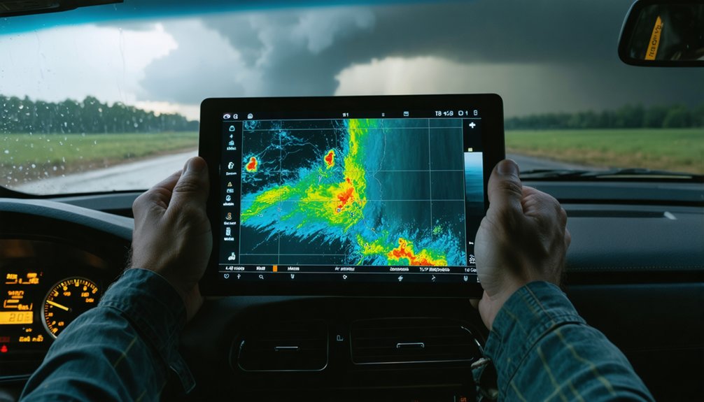
Optimizing storm interception requires you to stack atmospheric parameters, radar data, and AI-driven forecasting into one disciplined framework. You’ll need to monitor Mean Layer CAPE, CIN, 850 mb moisture, and hodograph shape simultaneously to build accurate targeting decisions. Upgraded WSR-88D algorithms now push tornado detection probability to 60%, while AI tools sharpen helicity contours and collapse ensemble spread. Combine these inputs correctly, and your interception windows get markedly wider and safer—everything covered ahead breaks this process down precisely.
Key Takeaways
- Monitor Mean Layer CAPE, CIN, and 850 mb moisture simultaneously to identify optimal storm interception windows and prevent dry air collapse.
- Analyze hodograph shape to determine storm motion predictability; straight profiles indicate faster, more confident intercept trajectories.
- Upgraded WSR-88D algorithms increase tornado detection probability to 60% while reducing mesocyclone false alarms from 62% to 13%.
- Combine ERA5 reanalysis, GNSS water vapor, and crowdsourced surface reports for precise storm movement and structure assessment.
- AI-enhanced NWP models sharpen helicity contours, collapse ensemble spread, and extend medium-range forecast skill up to 8 days.
What Storm Interception Planning Actually Requires
Storm interception planning isn’t simply a matter of checking a forecast and driving toward a storm—it demands a precise, multi-layered integration of atmospheric data, real-time tracking, and algorithmic decision-making.
You’ll need to evaluate Mean Layer CAPE, Convective Inhibition, hodograph geometry, and helicity values simultaneously.
Meteorological history informs your baseline expectations, but real-time radar and GIS overlays dictate your actual positioning.
You’re not just tracking a cell—you’re calculating updraft-downdraft separation, storm motion vectors, and moisture profiles at 850 millibars.
Lightning phenomena serve as critical real-time indicators of updraft intensity and electrification trends within developing convection.
Without blending atmospheric, oceanic, and land surface data into a coherent operational picture, your interception strategy remains dangerously incomplete and tactically ineffective.
Critical Atmospheric Parameters Every Chaser Must Track
Effective interception begins with mastering the parameters that define storm potential before a cell ever matures. You’ll need to monitor Mean Layer CAPE and CIN simultaneously — instability without excessive inhibition signals ideal launch windows. Track 850 mb moisture closely; dry air intrusion collapses development fast.
Evaluate hodograph shape directly, since straighter profiles correlate with faster, more predictable storm motion.
Atmospheric oscillations influence boundary layer destabilization patterns you can’t afford to ignore. Factor in helicity calculations to distinguish tornadic from non-tornadic environments before committing to an intercept path.
Cloud microphysics data reveals updraft intensity and precipitation efficiency, sharpening your threat assessment considerably.
The Tornadic Tornado parameter quantifies vertical vorticity stretching potential, giving you a measurable edge when evaluating high-end severe events rapidly.
How to Read Hodographs and CAPE for Faster Targeting
When you analyze a hodograph’s shape, you’re extracting critical motion data—straighter hodographs directly correlate with faster storm speeds, giving you tighter, more predictable interception windows.
Pair that with Mean Layer CAPE to quantify instability potential and CIN to confirm the atmosphere will release that energy with minimal suppression, and you’ve got a precise targeting framework.
Together, these parameters let you calculate storm trajectories and position yourself efficiently before convective initiation.
Decoding Hodograph Shape Patterns
Hodograph shape directly controls storm motion speed and predictability, making it one of the most critical tools in your targeting arsenal. Straighter hodographs reduce hodograph complexity, correlating with faster storm motion and tighter, more calculable interception paths. When wind shear vectors align linearly across pressure levels, you’re looking at high-confidence storm trajectories that simplify positioning decisions remarkably.
Curved hodographs introduce rotational energy, favoring supercell development but complicating motion prediction. You’ll need to identify the curvature degree and depth to assess whether that rotational potential translates into a manageable intercept or an erratic, dangerous approach vector.
Focus on the 0–6 kilometer layer. Kinks, reversals, or tight loops within that layer signal directional wind shear complexity that directly disrupts storm motion consistency and your ability to maintain safe, efficient positioning.
CAPE And CIN Analysis
Once you’ve locked in storm motion confidence from hodograph analysis, your next targeting variable is the thermodynamic environment driving convective potential. Mean Layer CAPE and CIN define whether mesoscale patterns support explosive initiation or suppressed development. You’re hunting high CAPE with minimal CIN—enough inhibition to concentrate energy, not kill it.
- CAPE values exceeding 3,000 J/kg signal violent updraft potential
- CIN between -25 and -75 J/kg creates ideal cap tension before explosive release
- Atmospheric oscillations modulate instability layers across your target corridor
- 850mb moisture depth determines whether dry air intrusion collapses the thermodynamic profile
- Sharp CAPE gradients along drylines mark precise interception sweet spots
Cross-reference CAPE/CIN profiles against your hodograph data to triangulate high-probability storm interception zones with surgical precision.
Storm Motion Targeting Techniques
Combining hodograph shape with CAPE/CIN profiles compresses your targeting timeline by eliminating ambiguous interception zones before you’re in the field. Straighter hodographs signal faster, more predictable storm motion, letting you calculate precise intercept trajectories with minimal guesswork.
Cross-reference those hodograph readings against Mean Layer CAPE values and CIN thresholds to confirm instability layers that’ll sustain organized convection.
Integrate satellite calibration data to validate surface-level microclimate patterns that radar alone can miss. These localized thermal variations directly influence updraft-downdraft separation, which governs storm speed and direction. When separation is clean, your interception path becomes geometrically straightforward.
Prioritize 850-millibar moisture checks alongside hodograph curvature assessments. Dry air intrusion collapses storm structure, invalidating your motion vectors entirely.
Disciplined parameter stacking keeps your positioning decisions grounded in real atmospheric dynamics.
GIS and Radar Tools That Predict Storm Movement
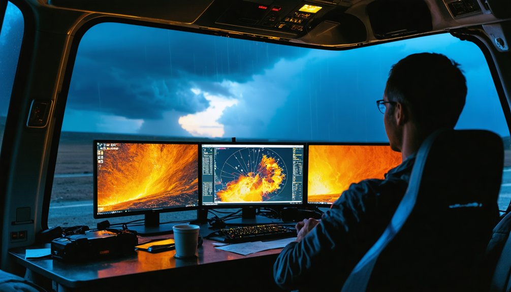
When you integrate GIS platforms like ArcGIS and QGIS with live radar data, you’re layering satellite imagery, temperature maps, and storm-tracking algorithms into a single, actionable framework for predicting storm movement. Monitoring satellite patterns and cloud dynamics alongside real-time radar lets you identify developing storm corridors before they materialize.
- Overlaid radar returns exposing storm cell boundaries at 50 dBZ thresholds
- Satellite patterns revealing mesoscale convective organization across subcontinental corridors
- Cloud dynamics shifting in real-time against historical reanalysis benchmarks
- Temperature gradient maps highlighting moisture boundaries at 850 millibars
- SALdEdA tracking metrics displaying structure, amplitude, and location simultaneously
These combined data streams achieve 99.34% convective tracking accuracy, giving you precise, autonomous positioning ahead of storm movement without dependency on centralized forecasting infrastructure.
Remote Sensing Inputs That Sharpen Chaser Decision-Making
Remote sensing technology gives you a multi-layered atmospheric picture that no single ground-based instrument can replicate. Satellite calibration guarantees the data you’re pulling is radiometrically accurate, eliminating sensor drift that corrupts cloud classification outputs and misidentifies convective boundaries.
You can integrate ERA5 reanalysis data alongside GNSS-derived water vapor measurements to establish precise moisture gradients at the 850-millibar level, directly flagging dry air intrusion risks before they collapse storm structure.
Seismic data and infrasound measurements supplement your radar returns, capturing storm-generated signals that confirm intensity trends independently. Crowdsourced surface reports anchor your remote inputs to ground truth, validating what satellites and sensors indicate.
Together, these multi-source streams let you move with calculated precision rather than reactive guesswork, maximizing your interception window.
How AI and NWP Models Tighten Your Forecast Window
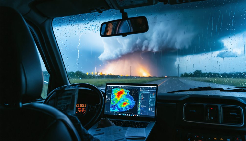
Rapidly updating NWP models blend observational data with statistical tools to generate short-term forecasts that compress your uncertainty window down to actionable decision points.
Rapidly updating models compress uncertainty into clarity, transforming raw observational noise into sharp, actionable forecast decision points.
AI insights supplement numerical refinement by sharpening the boundary between tornadic and non-tornadic environments using advanced instability and helicity calculations.
Medium-range skill extends to 8 days, giving you subcontinental-scale situational awareness.
- A tightening CAPE gradient illuminating the exact instability corridor ahead of your route
- AI probability fields overlaid on radar, highlighting tornadic likelihood zones in sharp relief
- Helicity contours sharpening like crosshairs onto a single storm-relative motion corridor
- NWP ensemble spread collapsing into a narrow forecast cone you can commit to
- CIN erosion curves ticking toward zero as your intercept window opens precisely on schedule
How Modern Radar Algorithms Help Chasers Detect Tornadoes Earlier
Upgraded WSR-88D algorithms have fundamentally changed what you’re able to detect before a tornado touches down. Detection probability for tornadoes has jumped from 10% to 60%, including weak tornadoes previously invisible to older systems.
Individual 50 dBZ cells are now identifiable at 100% accuracy, up from 43%. Mesocyclone false alarm rates dropped from 62% to 13%, giving you cleaner, actionable data.
When you layer this radar output alongside satellite imagery and seismic data, you’re building a multi-source picture that isolates tornadic signatures with precision.
Hail detection accuracy climbed from 66% to 92%, reducing false alarms that waste your positioning time. These algorithmic upgrades don’t just improve detection—they extend your interception window, letting you move decisively before conditions deteriorate.
Frequently Asked Questions
What Legal Permits Are Required for Storm Chasing in Protected Natural Areas?
You’ll need special use permits addressing wildlife disturbance and ecological impact before entering protected areas. Contact the managing agency directly, as permit requirements vary by jurisdiction, land classification, and seasonal restrictions governing your storm chasing activities.
How Do Chasers Coordinate With Emergency Responders During Active Tornado Events?
“Many hands make light work”—you’ll share real-time storm communication via dedicated radio frequencies and apps, ensuring responder coordination stays seamless. You’ll relay GPS positions, damage reports, and tornado paths directly to emergency operations centers during active events.
What Vehicle Modifications Best Protect Chasers From Direct Storm Contact?
You’ll want vehicle armor reinforced with steel plating and polycarbonate windows to withstand debris impact. Install safety equipment including roll cages, fire suppression systems, and GPS tracking to maximize your operational freedom during direct storm contact.
How Does Storm Chasing Insurance Differ From Standard Vehicle Coverage Policies?
Over 70% of standard policies include policy exclusions for high-risk activities—meaning you’ll face denied insurance claims during storm chasing. Specialized coverage actively accounts for extreme weather exposure, giving you the freedom to chase without financial risk.
What Psychological Training Helps Chasers Manage Stress During Extreme Weather Encounters?
You’ll build mental resilience through scenario-based stress management drills, cognitive behavioral techniques, and controlled exposure training. These methods sharpen your decision-making under pressure, keeping your risk assessments precise and your responses deliberate during extreme weather encounters.
References
- https://www.ametsoc.org/ams/about-ams/ams-statements/statements-of-the-ams-in-force/weather-analysis-and-forecasting2/
- https://research.noaa.gov/three-ways-noaa-research-works-to-improve-our-weather-forecasts/
- https://www.youtube.com/watch?v=yz4PXhKXBzo
- https://egusphere.copernicus.org/preprints/2025/egusphere-2025-1842/egusphere-2025-1842.pdf
- https://crazystormchasers.com/incorporating-gis-in-meteorological-data-analysis-for-storm-chasing/
- https://pdfs.semanticscholar.org/4271/a78b907a5b6e72a63cb9b99c105373926377.pdf
- https://www2.mmm.ucar.edu/episodes/ROC/WSR-88D_algorithms/pdfs/1996.pdf