For live storm coverage on Twitch, you’ll want channels that combine real-time radar overlays with direct field footage from inside active systems. Credible storm chasers integrate velocity scans, reflectivity data, and live visual feeds to give you genuine situational awareness rather than entertainment. Reed Timmer, with over 700 tornado intercepts, sets the standard for this approach. The channels worth following share these same technical habits, and what distinguishes them goes deeper than experience alone.
Key Takeaways
- Reed Timmer, with 700+ tornado intercepts, streams on Twitch with live radar integration, making him a top credible channel to follow.
- Credible storm-chasing channels feature real-time radar overlays, providing situational awareness and meteorological accuracy over pure entertainment.
- Twitch’s low latency (3–5 seconds) makes it ideal for live storm tracking, enabling faster responses to active weather phenomena.
- Top channels combine live radar data with field footage, narrating storm features like rotation, wall clouds, and hook echoes.
- Peak activity occurs April through June in Tornado Alley, making this the best period to follow active storm-chasing streams.
Live Radar and Chase Experience: What Separates Good Storm Channels
When evaluating storm-chasing channels on Twitch, two factors consistently separate credible coverage from casual weather content: live radar integration and documented chase experience.
If a streamer can’t overlay real-time radar while positioning in the field, you’re losing critical context for understanding storm movement and structure.
Real-time radar overlay isn’t optional—it’s the difference between understanding a storm and just watching one.
Chase experience matters equally. A streamer with hundreds of tornado intercepts brings pattern recognition that directly improves weather predictions and in-field decision-making.
That judgment affects more than content quality—it shapes storm safety for the chaser and informs your own situational awareness as a viewer.
Look for channels combining mobile field coverage with live meteorological data. That combination tells you the streamer understands both the science and the terrain, giving you coverage you can actually rely on during active severe weather events.
How Live Radar Makes Storm-Chasing Streams Actually Useful
Live radar turns a storm-chasing stream from raw footage into actionable intelligence. When you’re watching a streamer intercept a tornado, embedded radar overlays show you exactly where rotation is developing, how fast the cell is moving, and what’s likely forming next. That context transforms passive viewing into genuine situational awareness.
Unlike static weather forecasts or delayed satellite imagery, live radar updates every few minutes, letting you track a storm’s structure in real time. You’re not waiting on a broadcast meteorologist to interpret conditions for you. You’re reading the data directly alongside an experienced chaser who’s making live decisions based on it.
That combination of field position and radar integration gives you something no standard weather report can: ground-truth verification of what the atmosphere is actually doing, right now.
Reed Timmer: The Most Recognized Storm Chaser on Twitch
If you’re looking for a single storm-chasing channel to anchor your severe weather monitoring on Twitch, Reed Timmer is the starting point. He’s intercepted 700+ tornadoes, which translates directly into credible field judgment during active storm events.
His streams integrate real-time radar data alongside mobile field coverage, giving you both meteorological accuracy and on-the-ground visual context simultaneously. That combination separates his content from casual weather commentary.
Stream engagement stays high during active tornado seasons because Timmer broadcasts across Twitch and YouTube, expanding access when severe systems develop quickly. You’re not waiting for broadcast networks to catch up—you’re tracking the storm as it moves.
For storm spotters, weather enthusiasts, or anyone monitoring severe weather independently, Timmer’s channel functions as a reliable primary reference point.
The Top Twitch Channels for Live Tornado Coverage
When you’re tracking active tornado season on Twitch, Reed Timmer’s channel is your most data-rich starting point, backed by experience intercepting over 700 tornadoes.
His streams integrate real-time radar overlays, giving you immediate structural and movement analysis rather than passive footage.
You’ll find that combination of field positioning and live meteorological data harder to match on competing channels.
Reed Timmer’s Live Streams
Among storm-chasing livestreamers on Twitch, Reed Timmer stands out as the first channel you’ll want to bookmark. With 700+ tornado intercepts logged, his credibility isn’t performative—it’s field-tested. That experience directly improves your storm prediction awareness during active severe weather events.
His streams integrate real-time radar data alongside live field footage, giving you a dual-layer view of storm structure and movement that standard broadcast meteorology rarely delivers. You’re not just watching—you’re interpreting developing conditions alongside someone who understands the data.
For weather safety, that distinction matters. When a tornado system is actively evolving, Timmer’s commentary bridges the gap between raw radar returns and ground-level reality.
His cross-platform presence on both Twitch and YouTube ensures you can access coverage regardless of where you’re monitoring conditions.
Real-Time Radar Coverage
Real-time radar integration separates functional storm-chasing streams from visual spectacle. When you’re tracking severe weather, radar overlays give you actionable data—storm motion, rotation signatures, and precipitation intensity—rather than just dramatic footage.
Channels that display live radar let you interpret conditions independently, so you’re not relying solely on the streamer’s commentary.
Historical data layers add critical context, helping you compare current storm behavior against documented patterns. This separates informed coverage from streams that perpetuate weather myths about tornado movement or intensity.
You can verify what you’re watching rather than accepting unfiltered field commentary.
Look for streams where radar visualization stays visible throughout the broadcast. That transparency signals a streamer prioritizing meteorological accuracy over entertainment—exactly the kind of coverage worth following during active tornado season.
What Storm-Chasing Livestreams Actually Look Like on Screen
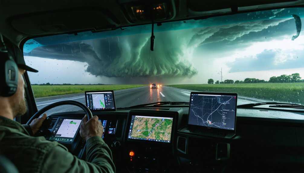
When you tune into a storm-chasing livestream, you’re typically looking at a split layout that combines live radar overlays with raw field footage captured from a moving vehicle.
You’ll see the streamer interpret real-time radar returns—identifying rotation signatures, hook echoes, and storm motion vectors—while simultaneously positioning in the field for visual intercept.
The radar data and ground-level perspective work together, giving you both the meteorological structure of the storm and its physical reality unfolding on screen.
Live Radar On Screen
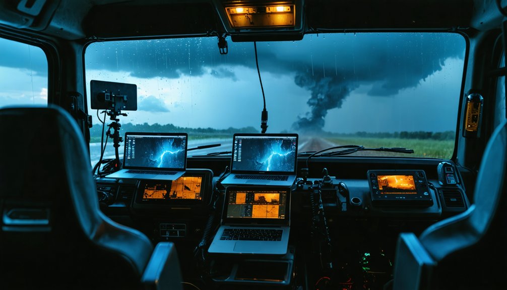
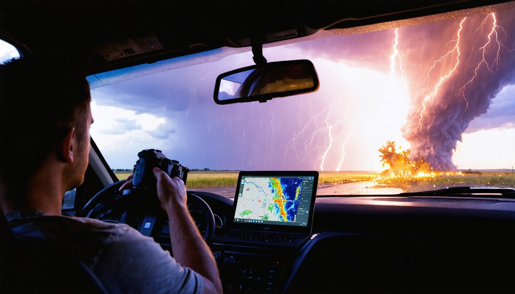
What you’ll actually see on screen during a storm-chasing livestream is a layered feed that blends live field footage with real-time radar overlays, giving you far more situational data than a standard broadcast weather segment. Streamers typically display velocity scans, reflectivity data, and storm-relative motion simultaneously alongside their dash or field camera.
This multi-layer approach lets you read storm structure in real time rather than waiting for delayed broadcast updates.
Historical data layers often appear alongside live scans, helping you contextualize a storm’s track and intensification rate. That context directly supports storm safety decisions, whether you’re a spotter in the field or a viewer monitoring conditions near your location.
You’re fundamentally watching a mobile meteorological workstation operate in real time.
Field Coverage In Action
Beyond the radar stack, the physical field environment shapes everything you’re actually watching during a storm-chasing livestream. Camera angles shift constantly as the vehicle repositions relative to storm movement, giving you a ground-level perspective that no weather visualization platform replicates. You’re seeing actual inflow, wall clouds, and rotation in real time, not a model simulation.
Storm chasing coverage also means dealing with variable conditions—rain-wrapped tornadoes, hail interference, and low visibility all affect what the stream delivers. Experienced chasers narrate these constraints directly, so you understand what you’re seeing and what you aren’t. That transparency is operationally valuable.
Mobile field coverage connects radar interpretation to visual confirmation. When the streamer calls a feature on-screen and you see it simultaneously in the field footage, the situational awareness you build is genuinely difficult to replicate elsewhere.
Twitch vs. YouTube for Live Storm Coverage: Which Delivers Faster?
For storm chasers streaming live, platform latency isn’t a minor detail—it directly affects how quickly you receive critical weather updates. Twitch typically delivers lower latency than YouTube, often streaming within 3–5 seconds versus YouTube’s 6–30 second delay depending on settings.
When urban development expands storm-vulnerable zones and climate change intensifies severe weather frequency, those seconds matter. A tornado warning needs to reach you before the rotation does.
Twitch’s low-latency mode gives it a functional edge for real-time storm coverage, especially when chasers are calling out active rotation or hail cores. YouTube Live suits archival replay and broader reach, but if you’re monitoring a live storm system, Twitch’s infrastructure keeps you closer to what’s actually happening in the field.
How to Find Active Storm Streams When Severe Weather Hits
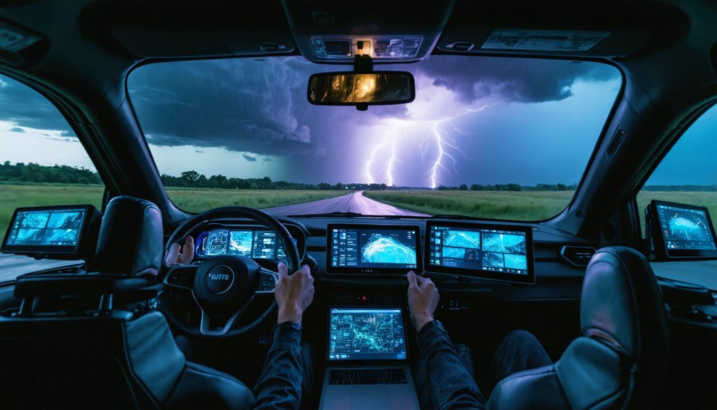
When severe weather activates, your fastest entry point is cross-referencing live radar platforms like RadarScope or Weather.gov against active Twitch streams to confirm storm positioning in real time.
You’ll want to follow established chasers like Reed Timmer ahead of tornado season so notifications trigger the moment they go live.
Pairing radar situational awareness with a pre-built follow list cuts your response time when conditions escalate quickly.
Monitoring Live Radar Platforms
Pairing a live radar platform with your Twitch browsing habits is one of the fastest ways to catch active storm streams before severe weather peaks.
Sites like College of DuPage and Pivotal Weather give you access to satellite imagery and weather models that identify developing severe systems hours in advance.
When radar signatures tighten and rotation indicators appear, that’s your cue to check Twitch for active storm-chasing broadcasts.
Cross-referencing radar data with streamer locations lets you filter channels actually positioned near the threat area.
Weather models help you anticipate storm timing, so you’re not scrambling reactively.
Build a simple workflow: monitor radar first, identify the active corridor, then pull up Twitch to find chasers operating inside that zone.
Following Active Storm Chasers
Once you’ve identified an active storm corridor through radar, the next step is locating chasers already operating inside it. Search Twitch’s directory under “Science & Technology” or “Weather” and filter by live channels. Active streams typically show real-time GPS positioning, mobile radar overlays, and field commentary—clear indicators someone’s already in the target zone.
Reed Timmer’s channel is your strongest starting point. With 700+ tornado intercepts, his streams combine weather documentation with live meteorological analysis that casual broadcasts can’t match.
Cross-reference streamer locations against your radar data. If a chaser’s position aligns with a confirmed supercell, their storm photography and field reporting will give you ground-truth context beyond what any stationary platform provides.
Follow multiple chasers simultaneously to triangulate coverage across a broader storm corridor.
Peak Tornado Season: When Storm-Chasing Streams Are Most Active
Tornado season peaks between April and June across the central United States—commonly referred to as Tornado Alley—and that’s when storm-chasing streams on Twitch see their sharpest surge in activity. Atmospheric instability, moisture from the Gulf of Mexico, and clashing air masses create ideal supercell conditions during this window.
Tornado season peaks April through June, when Tornado Alley’s volatile skies drive storm-chasing streams to their highest activity.
You’ll find streamers like Reed Timmer broadcasting more frequently as active storm systems develop.
Use these streams strategically. Real-time radar overlays and live weather predictions from experienced chasers give you situational awareness that standard broadcasts can’t match. Storm safety becomes especially relevant here—knowing where a tornado is tracking in real time lets you make informed decisions fast.
Monitor streaming schedules closely during spring; activity drops considerably outside peak season when severe weather events become less frequent.
How Storm Spotters Use These Channels for Situational Awareness
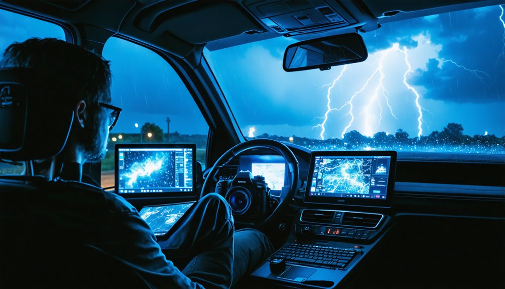
Storm spotters don’t rely on these channels passively—they pull real-time positional data, radar overlays, and field observations from experienced chasers like Reed Timmer to cross-reference against their own local assessments.
If you’re active in storm spotting, you can use these streams to validate your radar interpretation against a veteran’s read of the same system. Timmer’s live commentary breaks down storm structure, rotation signatures, and movement vectors as conditions evolve.
That gives you a second data point when your own analysis feels uncertain. You’re not replacing your judgment—you’re stress-testing it against field-level intelligence.
During fast-moving severe weather events, that comparison can sharpen your situational awareness faster than static briefings or delayed reports ever could. These streams function as live, mobile ground-truth references.
The Best Twitch Channels for Real-Time Severe Weather Tracking
Knowing how to use a stream for situational awareness only pays off if you’re following the right channels in the first place. Reed Timmer stands out as the benchmark for real-time severe weather tracking on Twitch.
With 700+ tornado intercepts, he cuts through weather myths with field-verified data rather than speculation. His streams integrate live radar, accurate storm terminology, and mobile coverage that standard forecasts can’t match.
You’re getting mesocyclone structure analysis, wall cloud identification, and hook echo tracking explained in real time. That combination of credibility and technical depth separates serious storm-chasing content from casual weather commentary.
Cross-platform availability on YouTube also means you won’t lose coverage during active systems. Start here before expanding your channel list further.
Frequently Asked Questions
Are Storm-Chasing Twitch Streams Free to Watch Without a Subscription?
Yes, you can watch storm-chasing Twitch streams free without subscribing. You’ll access live storm safety updates and equipment setup coverage instantly, though subscribing unlocks extra perks like ad-free viewing and direct streamer interaction.
Can Viewers Interact With Storm Chasers During Live Severe Weather Broadcasts?
Yes, you can interact directly via Twitch’s live chat during severe weather broadcasts, boosting viewer engagement in real time. Storm chasers often monitor chat for location tips, though prioritizing storm safety always overrides responding to viewer questions.
Do Storm-Chasing Streamers Ever Coordinate Directly With Local Emergency Management Officials?
Like Paul Revere alerting the colonies, some storm-chasing streamers do coordinate directly with local officials. You’ll find emergency coordination and safety protocols vary by chaser, though it’s not a universal standard across Twitch broadcasts.
How Do Storm Chasers Power Equipment During Extended Field Operations?
You’ll rely on deep-cycle batteries, portable generators, and solar panels to power your gear during extended chases. Prioritize equipment durability in your setup, and always integrate redundant systems to maintain storm safety throughout unpredictable, high-demand field operations.
Have Any Storm-Chasing Livestreams Ever Captured a Tornado Touching Down Live?
Like Melville’s whale emerging from the deep, yes—you’ve seen chasers capture live touchdowns, their meteorological equipment streaming raw data while safety protocols kept them at ideal distance for broadcast.
References
* https://crazystormchasers.com/top-storm-chasing-live-streamers-to-follow/