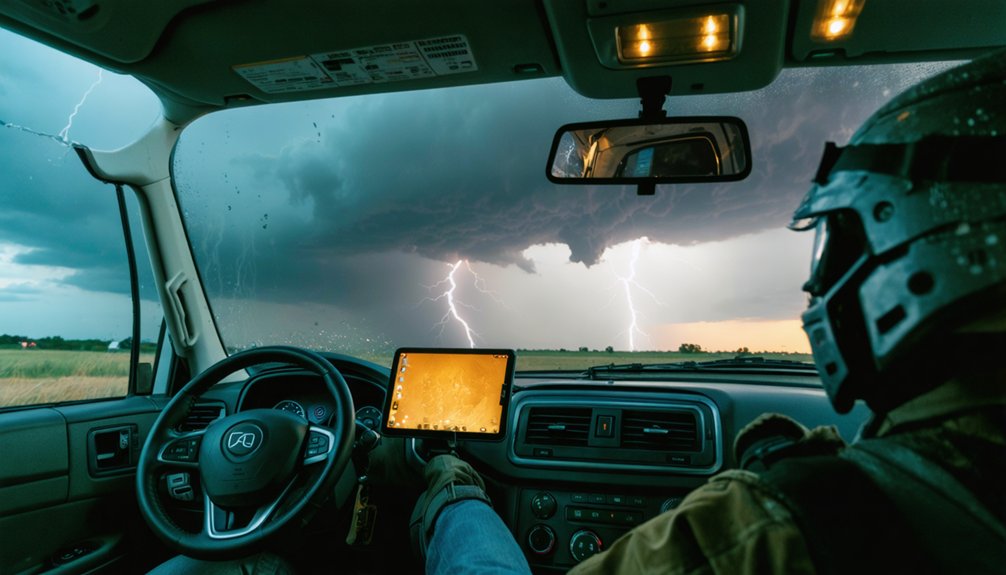
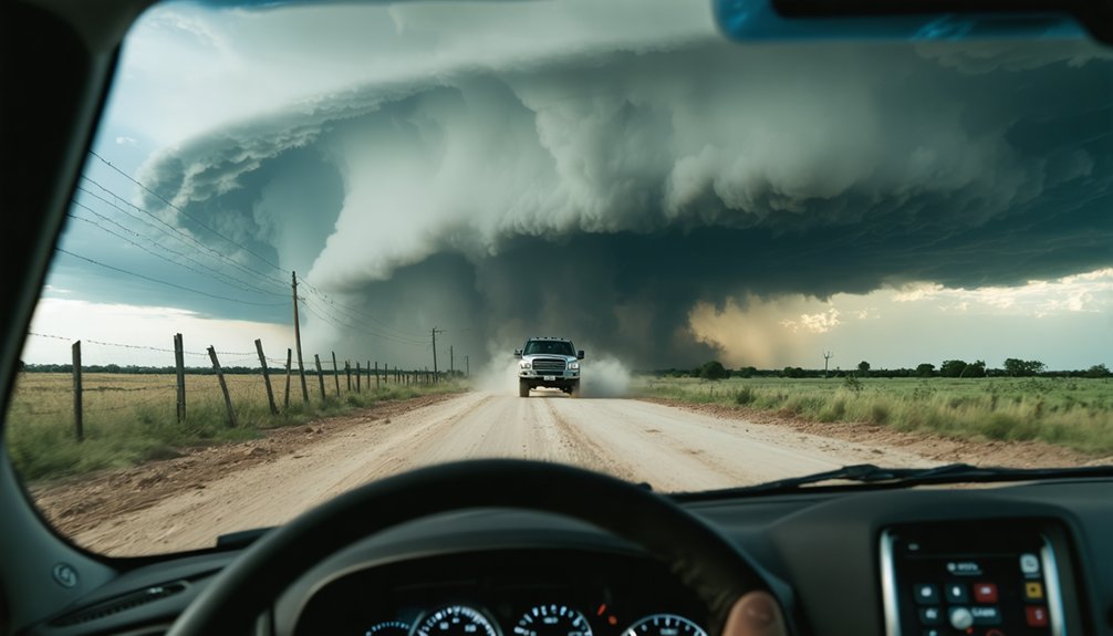
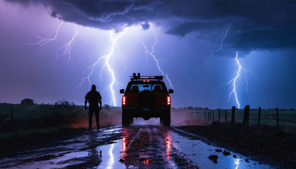
Staying updated on weather risks keeps you alive when conditions shift faster than your instincts can process. Supercells accelerate from 30 to 60+ mph in minutes, radar lags 4–6 minutes behind actual storm motion, and most chaser fatalities happen from hydroplaning or flooding — not the tornado itself. Ground spotter reports catch what radar consistently misses, giving you actionable intelligence before conditions deteriorate. Every variable covered ahead changes your outcome entirely.
Key Takeaways
- Radar lags 4–6 minutes behind storms, making continuous updates essential for accurate, real-time situational awareness and safer decision-making.
- Supercells can accelerate from 30 to 60+ mph within minutes, quickly blocking escape routes without warning.
- Live spotter reports provide ground-truth data that radar cannot, improving tornado warning lead times by an average of 13 minutes.
- Early road hazards like standing water and wet pavement create fatal risks miles before a tornado makes landfall.
- Continuous monitoring enables proactive decisions rather than reactive responses, preserving operational safety during rapidly evolving storm conditions.
The Real Reason Storm Chasers Die Before They See a Tornado
When most people picture storm chasing fatalities, they imagine a direct tornado strike — but the data tells a different story. Traffic crashes kill more chasers than tornadoes do.
You’re steering wet pavement, hydroplaning risks, reduced visibility, and hail-covered roads long before you’re within visual range of a funnel.
Weather forecasting and storm tracking tools give you critical situational awareness, but they don’t eliminate road hazards. Heavy rain degrades your visibility. Standing water triggers hydroplaning at highway speeds. Hail fog obscures intersections.
These conditions exist on your approach route, not just near the storm core.
You can’t separate driving safety from chasing safety — they’re the same risk. Staying updated on evolving conditions isn’t optional; it’s what keeps you alive before the storm ever comes into view.
How Quickly Severe Storms Change Speed and Direction
Road hazards aren’t your only moving target — the storm itself is. Supercells can accelerate from 30 to 60+ mph within minutes, and wind shifts ahead of a mesocyclone can flip your planned exit route into a dead end.
Storm acceleration isn’t a gradual process you’ll see coming — it happens fast enough to cut off a position you held comfortably just moments before.
Near-real-time radar already lags several minutes behind actual storm motion. That gap matters when a cell suddenly turns right, increases forward speed, or reorganizes around a new updraft.
You can’t chase freely if you’re reacting to outdated data. Continuous weather monitoring keeps your tactical decisions ahead of the storm’s next move, not behind it.
Why Radar Alone Won’t Keep You Safe Out There
Radar gives you a picture of the storm, not a real-time feed — and that distinction can get you killed. Most near-real-time radar scans carry a 4–6 minute lag. In that window, a tornado can accelerate, shift track, or intensify without your display reflecting it.
Radar shows you the past. A tornado moves in the present. That gap is where people die.
Radar won’t show you standing water on the road, hail fog dropping visibility to zero, or a wall cloud tightening rotation overhead. That’s where weather literacy becomes non-negotiable — you need direct observation to fill those gaps.
Storm chasing ethics also demands it: relying solely on radar transfers risk onto others sharing your escape route. Cross-reference radar with spotter reports, sky observation, and updated surface data.
Technology supports your decisions; it doesn’t make them for you.
What Spotter Reports Catch That Radar Consistently Misses
Spotter reports fill the observational gaps that radar physically can’t resolve. Radar scans at elevation angles that miss surface-level rotation, ground-wrapped tornadoes, and shallow funnel development. By the time the beam captures what’s happening near the ground, conditions have already shifted.
Trained spotters positioned with proper storm chaser gear report wall cloud rotation, inflow banding, and debris signatures in real time, giving you ground-truth data that no scan cycle can replicate. These reports directly sharpen warning specificity, contributing to an average tornado warning lead time of 13 minutes.
When you’re reading a weather pattern and deciding whether to hold or retreat, spotter-confirmed rotation near the surface carries more tactical weight than interpolated radar returns. That verified ground-level intelligence keeps your decisions sharp and your options open.
How Road Conditions Turn Lethal Before the Storm Arrives
You don’t need to reach the storm to encounter lethal conditions — wet pavement and hydroplaning can kill you miles before the core arrives.
As rainfall begins, tire friction drops sharply, and speeds above 35 mph on standing water can cause you to lose steering control entirely.
Traffic crashes, not tornado impact, account for a disproportionate share of storm-chasing fatalities, making early road assessment a non-negotiable part of chase safety.
Wet Roads Kill Early
Before a tornado ever touches down, wet pavement can already be working against you. Rain preceding a storm reduces tire friction markedly, and hydroplaning can occur at speeds as low as 35 mph on standing water. You don’t need to be near the tornado to die chasing it.
Understanding storm behavior means recognizing that dangerous weather patterns arrive in stages. The precipitation core hits roads long before the visible funnel forms. At that point, your tires, your speed, and your reaction time determine whether you survive, not your proximity to the storm.
Slow down before you think you need to. Check road surfaces continuously. Standing water on rural roads drains poorly and appears without warning. Early wet conditions are a calculated threat, and you should treat them like one.
Hydroplaning Precedes The Storm
Hydroplaning doesn’t wait for the tornado. It strikes miles out, on rain-slicked pavement you’re crossing just to get into position. At highway speeds, your tires can lose contact with the road surface in less than a second, and you’re no longer driving — you’re sliding. That hydroplaning danger is real before a single rotation appears on radar.
You’re already navigating a road hazard the moment precipitation reaches the asphalt. Reduced tire friction, standing water in low-lying areas, and speed combine into a loss-of-control scenario that has ended chases permanently. Radar won’t warn you about the film of water on Route 83. Your speed, tire condition, and situational awareness will.
Slow down early, read the road surface, and treat every wet mile as the first threat — not the tornado.
Hydroplaning, Hail-Covered Roads, and Flash Flood Traps
Storm chasing puts you on roads where standing water, hail accumulation, and flash flooding can kill you faster than any tornado.
Hydroplaning hazards emerge at speeds as low as 35 mph on wet pavement, stripping you of steering and braking control instantly.
Hail risk compounds this — marble-to-baseball-sized ice accumulates like gravel, reducing tire traction to near zero on curves and braking zones.
Flash flood traps are worse because they’re deceptive. Six inches of moving water can knock you off your feet; two feet sweeps your vehicle off the road entirely.
Low-water crossings that appeared safe thirty minutes earlier can become death traps as upstream runoff arrives.
You can’t outmaneuver hazards you didn’t anticipate. Real-time weather updates keep these threats from ambushing you.
Why Chaser Traffic Jams Can Get You Killed
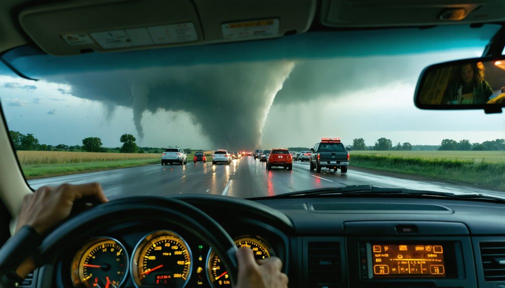
When dozens of chasers converge on the same storm, the road network stops functioning as an escape route and starts functioning as a trap. Poor storm chasing ethics and broken weather communication create gridlock that eliminates your options fast.
- Amateur drivers brake unpredictably, block intersections, and ignore right-of-way signals during critical repositioning windows.
- Chaser convergences have produced documented traffic jams directly in a tornado’s projected path.
- You can’t execute a clean escape when vehicles are three-wide on a two-lane county road.
- Real-time weather communication breaks down when everyone’s transmitting simultaneously and no one’s listening.
Your situational awareness means nothing if you’re physically boxed in. Treat heavy chaser traffic as a hazard equal to the storm itself, and build exit strategies before convergence locks you in.
How Live Weather Updates Keep Your Escape Routes Open
Radar data lags real-time conditions by three to five minutes, and that gap is where escape routes disappear. When storm intensity escalates faster than your radar refreshes, you’re charting on outdated intelligence.
Live spotter reports and real-time weather pattern shifts give you the ground-truth data radar can’t deliver fast enough.
Sustained awareness lets you identify when a storm accelerates, shifts track, or drops a tornado ahead of your position. That information triggers repositioning before your exit roads flood, fill with traffic, or disappear under standing water.
Without it, you’re reacting instead of deciding.
Keep multiple escape vectors plotted and cross-reference live updates against your current position constantly. Your freedom to move depends entirely on knowing what the storm is doing right now, not three minutes ago.
How Real-Time Ground Reports Make Tornado Warnings More Accurate
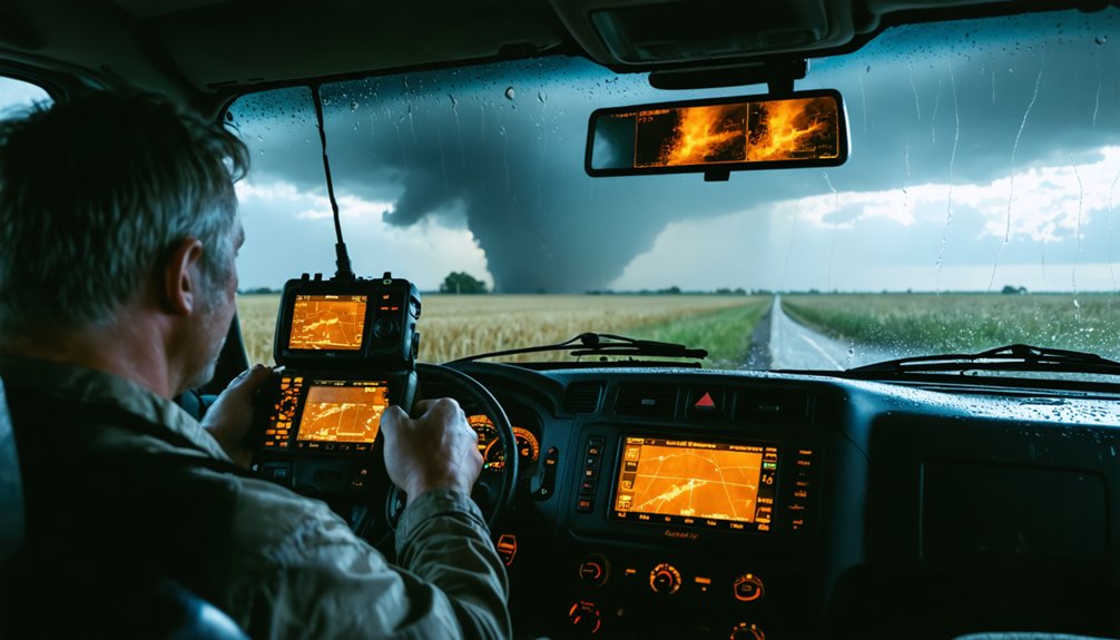
Keeping escape routes open is only half the equation—what you report from the field directly sharpens the warnings protecting everyone behind you. Your ground-truth observations on storm behavior fill critical gaps that radar alone can’t resolve, boosting data accuracy where it matters most.
Your field reports don’t just document—they sharpen the warnings protecting every community downrange.
- Confirmed tornado presence triggers faster, more specific public warnings
- Reported hail size and wind shifts refine warning language and urgency
- Wall cloud rotation data helps meteorologists gauge intensification timelines
- Real-time spotter reports contribute to an average 13-minute tornado warning lead time
When you radio in what you’re seeing, you’re not just documenting—you’re actively extending the reaction window for communities downrange. Every precise field report strengthens the warning chain that keeps lives intact.
The Line Between Calculated Risk and a Decision That Gets You Killed
Your risk threshold isn’t a feeling—it’s a set of measurable conditions you define before a chase begins, not while a tornado is bearing down on your position.
Professional chasers treat decisions like core-punching a storm or driving flooded roads as hard stops, not judgment calls made under pressure.
When you let excitement override your pre-set limits, you’re no longer managing risk—you’re absorbing it.
Recognizing Your Risk Threshold
Every chase decision you make carries a risk profile, and the difference between a calculated risk and a fatal one often comes down to how honestly you’ve assessed it. Storm tracking and weather prediction aren’t just operational tools — they’re the data inputs your risk threshold depends on.
Ask yourself:
- Are you repositioning based on updated radar, or reacting to what you assumed the storm would do?
- Have you identified your exit routes before road conditions deteriorate?
- Are rising water, reduced visibility, or hail-covered pavement already compressing your margins?
- Is your decision driven by current data, or by the shot you want to capture?
Your threshold isn’t fixed — it shifts with every new variable. The chasers who stay operational long-term are the ones who reassess it continuously.
When Caution Saves Lives
There’s a measurable difference between a calculated risk and a fatal one, and it almost never shows up in the storm itself — it shows up in the decision you made two minutes before conditions deteriorated.
Your weather sensors give you data, but only your emergency planning converts that data into survival.
Chasers who died weren’t always outrun by tornadoes — many were killed by hydroplaning, flooding, or traffic crashes tied to reduced visibility.
The storm didn’t change the outcome; a late decision did.
When radar lags several minutes behind reality, hesitation compounds the gap.
Acting on early indicators rather than waiting for confirmation keeps your exit routes open.
Caution isn’t retreat — it’s the tactical move that preserves your ability to operate another day.
Frequently Asked Questions
What Gear Should Storm Chasers Carry for Rapid Weather Condition Changes?
You’ll need essential storm gear and safety equipment: a mobile radar device, emergency radio, first aid kit, rain gear, and backup navigation tools to handle rapid weather condition changes safely and effectively.
How Does Weather Update Frequency Differ Between Professional and Amateur Chasers?
Like a hawk eyeing prey, professionals track weather patterns with near-constant updates, maximizing data accuracy. You’ll refresh radar every few minutes, while amateurs update sporadically, risking missed storm shifts that could turn deadly fast.
Can Mobile Weather Apps Replace Dedicated Storm Chasing Communication Equipment?
Mobile weather apps can’t replace dedicated equipment—you need real-time satellite data and meteorological models with minimal latency. Dedicated systems give you faster, more reliable updates, keeping your decisions independent and your escape routes open.
How Do Storm Chasers Coordinate With Local Emergency Management During Active Chases?
Can your reports save lives? You coordinate storm communication through radio networks and spotter programs, feeding real-time ground-truth data directly into emergency coordination systems, helping managers issue faster, more accurate warnings with average lead times reaching 13 minutes.
What Training Do Storm Chasers Need Before Monitoring Live Severe Weather Updates?
You’ll need meteorology fundamentals, radar interpretation, and storm chase strategies before monitoring live severe weather updates. Master weather prediction models, learn vehicle positioning, and understand hydroplaning risks—training transforms raw data into split-second decisions that protect your life.
References
- https://en.wikipedia.org/wiki/Storm_chasing
- https://www.pbs.org/newshour/science/inside-the-dangerous-and-unpredictable-science-of-storm-chasing
- https://www.cnn.com/2017/03/29/us/storm-chaser-dangers
- https://www.nationalgeographic.com/travel/article/storm-chasing-is-an-exhilarating-rush-but-is-it-safe
- https://www.atms.unca.edu/cgodfrey/courses/swfex/pdf/ChasingSafety.pdf
- https://medium.com/book-bites/the-real-danger-of-storm-chasing-from-meteorologist-dan-henry-2cbb417b5c02
- https://www.youtube.com/watch?v=uCLaE6ELFik
- https://www.flame.org/~cdoswell/chasesums/Chase_safety.html
- https://www.accuweather.com/en/weather-news/the-importance-of-professional-storm-chasing/420198
- http://www.stormeyes.org/tornado/chasing/FAQ/