Streamlining communication between storm chasers and emergency personnel requires layered strategies that eliminate critical gaps before severe weather strikes. You’ll need proper training, standardized protocols, and redundant tools like satellite phones, two-way radios, and emergency beacons to maintain connectivity when rural infrastructure fails. Registering with the Spotter Network and building direct relationships with NWS Warning Coordination Meteorologists guarantees your field data reaches decision-makers fast. The sections ahead break down exactly how to make that happen.
Key Takeaways
- Complete CERT training and obtain local credentials to ensure storm chasers can assist emergency personnel effectively without disrupting response operations.
- Formalize involvement through Interagency Agreements and Standard Operating Procedures covering communication, reporting, and data-sharing responsibilities with emergency managers and NWS.
- Use layered communication tools—satellite phones, two-way radios, and emergency beacons—to maintain connectivity when rural infrastructure or cellular networks fail.
- Register with the Spotter Network and build relationships with Warning Coordination Meteorologists to enable direct, real-time positional data sharing.
- Prioritize encrypted messaging platforms to protect sensitive observational data and keep critical warning communication channels secure during emergencies.
Why Do Communication Gaps Put Storm Chasers’ Lives at Risk?
When communication systems fail in the field, storm chasers lose their primary lifeline to emergency personnel, real-time meteorological data, and coordinated evacuation routes. You’re operating in high-risk environments where every second counts, and a single gap in communication technology can cost you critical positioning data or incoming hazard alerts.
Fragmented channels force you to rely on disjointed information sources, increasing decision-making errors under pressure. Without standardized protocols, you can’t guarantee that your ground-truth reports reach the National Weather Service or local emergency managers efficiently.
Data security also matters—unsecured transmissions expose sensitive location and operational data to interference or interception. Maintaining encrypted, redundant communication systems isn’t optional; it’s a survival requirement.
Prioritize satellite phones, two-way radios, and verified mobile apps to eliminate preventable communication failures before they become life-threatening.
What Training Storm Chasers Need Before Entering the Field
Before you enter the field, you’ll need verified training that qualifies you to operate safely alongside emergency personnel. Complete CERT training to assist at damage scenes without burdening professional responders. Contact your city or county emergency manager to confirm local credentialing requirements and connect with organized spotter networks.
Use COMET MetEd’s online courses to build foundational spotter knowledge, then pursue hands-on storm simulation exercises to sharpen real-time decision-making under pressure. Simulation-based training exposes you to dynamic scenarios that classroom instruction can’t replicate.
You’ll also need to master equipment maintenance — malfunctioning radios, beacons, or GPS devices can sever critical communication links during active events. Regularly inspect and test all gear before deployment. Verified credentials and functional equipment aren’t optional; they’re operational requirements.
How to Connect With Emergency Managers and NWS Officials
Once your credentials are verified and your gear is operational, your next step is building direct relationships with the officials who coordinate storm response. Start by contacting your city or county emergency manager—they’ll outline how spotting and disaster assistance are organized locally.
After credentials are verified and gear is ready, building relationships with local emergency managers is your critical next step.
Your primary NWS contact is the Warning and Coordination Meteorologist (WCM), who integrates ground-truth data into active warning decisions. Historical case studies confirm that chasers who established these connections before severe weather seasons responded faster and more effectively.
Register with the Spotter Network to deliver precise positional data directly to forecasters. Technological innovations like real-time GPS integration have made this coordination seamless.
Join a local amateur radio club or SKYWARN group—these networks operate under emergency manager direction and give you structured, legitimate access to the response chain.
How Storm Chasers Build Joint Protocols With Local Authorities
Building joint protocols with local authorities transforms informal relationships into structured, actionable frameworks that define exactly how you’ll communicate, share data, and execute your role during an active storm event.
Start by formalizing your involvement through Interagency Agreements that outline each party’s responsibilities, liability boundaries, and operational scope.
From there, develop Standard Operating Procedures that specify communication frequencies, reporting intervals, data formats, and chain-of-command contacts. These procedures eliminate ambiguity when conditions deteriorate fast and decisions can’t wait.
Coordinate directly with your county emergency manager and the Warning and Coordination Meteorologist at NWS to align your protocols with their existing systems.
Review and update these agreements annually, ensuring your credentials, contact information, and equipment capabilities reflect your current operational status.
Structured protocols don’t restrict your autonomy—they amplify your effectiveness.
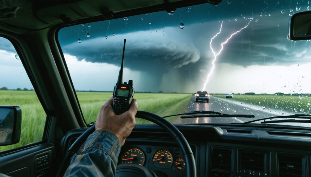
Having the right tools determines whether your real-time observations reach emergency personnel fast enough to drive actionable decisions. Satellite phones keep you connected when cellular networks fail, while two-way radios deliver instant push-to-talk communication across short distances.
Mobile apps provide GPS tracking, messaging, and live meteorological feeds simultaneously.
You should prioritize platforms that support data encryption, ensuring sensitive positional and observational data stays protected during transmission to local authorities and NWS personnel.
Emergency beacons transmit distress signals and precise GPS coordinates when situations escalate beyond your control.
Social media extends your reach further, letting you push observational updates directly to the public in seconds.
Combining these tools strategically gives you redundancy, security, and speed—three non-negotiable factors in effective storm chaser communication.
When cellular networks fail in remote areas, you rely on satellite phones to maintain critical communication links with emergency personnel.
You deploy emergency beacons to transmit distress signals and GPS-precise location data directly to responders, bypassing compromised infrastructure entirely.
These tools let you overcome rural connectivity barriers and keep warning dissemination on track even when traditional channels collapse.
Satellite Phones Bridge Gaps
Satellite phones fill a critical void where cellular towers don’t exist or have been destroyed by severe weather. When you’re operating in remote terrain, these devices connect directly to orbiting satellites, bypassing damaged ground infrastructure entirely.
You maintain a direct line to emergency managers and NWS coordinators regardless of local network conditions.
Satellite security protocols and data encryption protect your transmissions, ensuring sensitive positional data and damage reports reach only authorized personnel. This matters when you’re coordinating real-time warning dissemination with local authorities who depend on accurate, uncompromised information.
Carry a satellite phone as a primary backup to your standard communication suite. Don’t assume cellular coverage holds during severe weather events.
Redundant communication systems keep you operationally independent and guarantee critical warnings reach emergency personnel when seconds determine outcomes.
Emergency Beacons Pinpoint Locations
Emergency beacons transmit distress signals and precise GPS coordinates directly to search and rescue satellites, cutting through rural infrastructure failures that disable every other communication channel. When cellular networks collapse and broadband vanishes, your emergency beacon maintains location accuracy independent of terrestrial systems.
Deploy beacons strategically to maximize operational effectiveness:
- Activate only during genuine emergencies to prevent resource misallocation
- Register your beacon with NOAA to accelerate rescue response times
- Confirm GPS lock before entering high-risk tornado intercept zones
- Integrate beacon data with the Spotter Network for coordinated warning decisions
You retain operational independence without relying on fragile rural infrastructure. Emergency beacon technology puts precise positioning power directly in your hands, ensuring emergency personnel receive actionable location data when split-second warning decisions determine whether communities survive incoming storms.
Overcoming Rural Connectivity Barriers
Rural infrastructure failures don’t halt your warning responsibilities—they demand a layered communication strategy that bypasses collapsed networks entirely. When broadband collapses and cellular towers fail, you shift immediately to satellite phones, two-way radios, and emergency beacons that operate independently of ground-based infrastructure.
Community engagement becomes your force multiplier. Coordinate with amateur radio operators and local emergency managers beforehand, establishing redundant relay networks that function when digital platforms can’t. Pre-established contacts eliminate confusion during active events.
Maintain strict data privacy standards when transmitting location and observational data across alternative channels—unsecured transmissions expose both civilians and responders to unnecessary risk. Prioritize encrypted messaging apps where connectivity permits.
Your layered approach ensures warnings reach vulnerable populations regardless of which infrastructure components fail, keeping critical information flowing precisely when it matters most.
Field Safety and Post-Storm Coordination Procedures
Once you’re in the field, rigorous safety protocols and continuous hands-on training aren’t optional—they’re what keep you operational and off the burden list for professional responders. Effective risk management and community engagement depend on your preparedness before, during, and after the storm.
Carry these essentials without exception:
- First aid supplies, food, water purification, and portable weather radios
- Emergency beacon devices that transmit GPS-pinpointed distress signals
- Updated emergency contact lists for local authorities and NWS personnel
- Drone or satellite imaging access for post-storm damage assessment
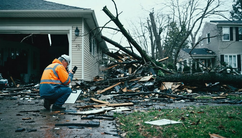
After the storm, don’t enter damage scenes unless you hold CERT certification and proper equipment. Coordinate directly with local emergency managers and submit ground-truth data through the Spotter Network. Your accurate position data drives faster, more reliable warning decisions.
Frequently Asked Questions
How Do Storm Chasers Handle Language Barriers When Communicating With Diverse Communities?
You’ll overcome language barriers by deploying multilingual tools like translated mobile apps and alerts. Embrace cultural sensitivity when engaging diverse communities, ensuring you’re delivering critical storm data clearly, accurately, and accessibly to everyone, regardless of their primary language.
What Legal Liabilities Do Storm Chasers Face When Sharing Inaccurate Weather Data Publicly?
You’re exposed to legal accountability if you share inaccurate weather data publicly. Prioritize data accuracy to avoid negligence claims, public endangerment lawsuits, or liability for emergency misallocation stemming from false storm reports you’ve disseminated.
How Are Storm Chasers Compensated for Their Coordination Efforts With Emergency Personnel?
Spoiler: there’s no paycheck waiting. Most storm chasers operate voluntarily—compensation models don’t exist in formal frameworks. You’ll find your rewards in public safety impact, not financial gain, when coordinating with emergency personnel.
What Mental Health Resources Are Available for Storm Chasers After Traumatic Events?
You can access post-incident counseling through emergency response organizations and leverage peer support networks connecting experienced chasers who’ve faced similar trauma. CERT training programs often integrate mental health resources, ensuring you’re equipped to process high-stress events effectively.
How Do International Storm Chasers Integrate Into Domestic Emergency Communication Networks?
You’ll bridge a universe of protocols through international collaboration: contact local emergency managers, verify credentials, align with NWS standards, and establish cross-border coordination via standardized communication procedures, shared GPS tracking, and joint emergency contact networks.
References
- https://news.unl.edu/article/nebraska-led-study-offers-lessons-for-disaster-communication
- https://forums.firehouse.com/forum/meet-and-greet/meet-and-greet-aa/2101905-storm-chasers-as-first-responders
- http://www.caps.ou.edu/~kbrews/spothelp.html
- https://crazystormchasers.com/instant-communication-methods-for-storm-chasers-in-emergency-scenarios/
- https://crazystormchasers.com/storm-chaser-emergency-response-coverage/
- https://ams.confex.com/ams/pdfpapers/142195.pdf