Your storm tracking software stack determines whether you catch rotation signatures before a tornado forms or miss them entirely. RadarScope delivers uncensored NEXRAD Level 3 data with dual-pol products for precise rotation detection. GRLevel3 excels in real-time customization and low data latency. Windy layers atmospheric variables like CAPE and wind shear for broader synoptic context. Mobile tools like Storm Radar and Rain Viewer support rapid situational awareness. The full breakdown ahead sharpens your software selection.
Key Takeaways
- RadarScope provides direct NEXRAD Level 3 access, revealing rotation signatures and dual-pol products before simplified platforms detect them, making it ideal for serious chasers.
- GRLevel3 excels in real-time radar customization, low data latency, and detailed storm feature visualization, supporting advanced analytical workflows for experienced storm chasers.
- Windy layers atmospheric variables like wind shear, CAPE, and pressure gradients onto interactive maps, providing essential meteorological context beyond raw radar data.
- MyRadar, Storm Radar, and Rain Viewer prioritize mobile speed and simplicity, delivering rapid precipitation positioning and storm location updates during active chase operations.
- Effective storm chasing requires combining high-resolution radar tools with contextual meteorological software, matching each tool’s strengths to specific operational workflow demands.
Why Radar Depth Defines Storm Tracking Software
When choosing storm tracking software, radar depth separates functional tools from genuinely useful ones. You’re not just looking for a map with colored blobs — you need precise radar resolution that reveals storm structure at the mesoscale level.
Low-resolution displays obscure rotation signatures and hide critical features like hook echoes or bounded weak echo regions.
Data latency matters just as much. A 5-minute delay during a rapidly intensifying supercell isn’t a minor inconvenience — it’s a tactical liability. You need near real-time updates to make accurate positioning decisions.
Tools like RadarScope and GRLevel3 prioritize both dimensions, giving you high-resolution NEXRAD products with minimal delay.
More general platforms trade that depth for accessibility. That tradeoff costs you analytical precision when conditions deteriorate fastest.
Storm Chasing Software Selection Criteria
Radar depth gets you started, but it’s one criterion inside a broader evaluation framework you need to apply before committing to a platform.
Evaluate each tool against these core selection factors:
Data Access – Confirm the platform supports NEXRAD Level 3 or equivalent feeds, not stripped-down consumer data.
Historical Data – You need archived storm data to analyze past events, validate patterns, and sharpen your interpretation skills.
Weather Alerts – Real-time alerting capability lets you respond to rapidly developing threats without manually monitoring feeds.
Platform Flexibility – Desktop tools like GRLevel3 offer deeper customization; mobile apps like RadarScope or MyRadar prioritize field accessibility.
Technical Depth vs. Usability – Match the interface complexity to your skill level. Advanced analysis demands tools built for experienced operators, not casual users.
RadarScope Review: NEXRAD Level 3 Data for Storm Chasers
For storm chasers prioritizing raw data fidelity, RadarScope stands out by delivering direct access to NEXRAD Level 3 data—a critical differentiator from consumer-grade radar apps that strip down feeds for general audiences. You’re not working with filtered summaries—you’re pulling full storm metadata and radar calibration parameters directly.
- See velocity, dual-pol products, and correlation coefficients without compromise
- Trust radar calibration data that reflects actual atmospheric conditions
- Identify rotation signatures before they appear on simplified platforms
- Make independent decisions grounded in unprocessed storm metadata
- Chase on your terms, armed with professional-grade situational awareness
RadarScope doesn’t simplify what you need uncensored. It’s technically demanding, intentionally so, and built for users who refuse to surrender analytical precision when conditions deteriorate rapidly in the field.
GRLevel3 Review: Advanced Radar for Experienced Chasers
If you’re an experienced chaser who demands more than surface-level radar data, GRLevel3 delivers advanced analysis tools that let you dissect storm structure with precision.
You can customize real-time radar displays to track rapidly evolving storm features as conditions shift, giving you a tactical edge in the field.
This platform isn’t built for casual users—it’s engineered for those who already understand radar interpretation and need a tool that matches their technical workflow.
Advanced Radar Analysis Features
GRLevel3 stands out for its advanced radar analysis capabilities, making it a strong choice if you’re an experienced chaser who needs more than surface-level storm data. You get precise radar signal interpretation and minimal data latency, letting you react faster when storms evolve unpredictably.
Key features that make GRLevel3 worth using:
- Real-time customization lets you adapt displays instantly as storm structures shift
- Low data latency keeps your situational awareness sharp during critical chase windows
- Radar signal clarity reveals fine-scale storm features others miss
- Advanced product overlays give you meteorological depth beyond basic precipitation views
- Technical controls reward experienced users who demand precision over simplicity
If you’re serious about chasing, GRLevel3 delivers the analytical power that generic apps simply can’t match.
Real-Time Storm Customization
When storm structures shift rapidly, you need customization tools that keep pace—and that’s where GRLevel3 delivers. You can adjust display parameters in real time, letting you isolate specific weather phenomenon signatures as they evolve across the radar scope.
That flexibility matters when atmospheric dynamics are pushing a supercell through rapid organizational changes.
You’re not locked into preset configurations. GRLevel3 lets you modify color tables, overlay products, and loop intervals on the fly—giving you precise control over how data renders during critical observation windows. You decide what information stays visible and what gets filtered out.
For experienced chasers who demand technical precision rather than simplified summaries, this level of real-time adaptability translates directly into sharper situational awareness when conditions deteriorate fastest and decision-making margins tighten.
Best For Experienced Chasers
Designed for experienced chasers who demand more than surface-level radar summaries, GRLevel3 positions itself as a technical analysis platform rather than a consumer-facing weather app. You’re getting deep radar calibration controls and real-time customization that directly sharpens your storm prediction accuracy.
Here’s what sets it apart for serious chasers:
- Full radar calibration lets you fine-tune data interpretation without restrictions
- Real-time storm structure monitoring keeps you ahead of rapidly shifting conditions
- Advanced analysis tools replace guesswork with precision-driven decisions
- Technical depth rewards experience rather than simplifying it away
- Radar-focused workflows align with how dedicated chasers actually operate
If you’re done with apps built for casual users, GRLevel3 delivers the technical freedom experienced chasers need to work confidently in demanding, fast-moving situations.
Windy Review: Meteorological Context for Storm Chasers
If you need broader meteorological context beyond raw radar data, Windy delivers real-time weather layers that let you analyze wind fields, pressure systems, and moisture patterns alongside storm movement.
You can overlay multiple atmospheric variables simultaneously, giving you a clearer picture of the environmental conditions driving storm development.
It’s less suited for deep radar analysis than GRLevel3 or RadarScope, but it fills a critical gap when you need forecast context integrated with visual storm monitoring.
Real-Time Weather Layers
While RadarScope and GRLevel3 prioritize raw radar data, Windy takes a broader approach by layering multiple real-time meteorological datasets into a single interactive map interface. You can cross-reference radar signal patterns against wind, pressure, and temperature fields simultaneously, giving you a sharper picture of storm intensity as conditions evolve.
Windy’s real-time layers let you:
- Track wind shear that fuels rotating supercells
- Monitor pressure gradients driving storm development
- Visualize moisture transport feeding convective systems
- Overlay temperature boundaries marking critical frontal zones
- Observe wave patterns revealing atmospheric instability
This multi-layer capability frees you from relying on a single data stream. Instead, you’re building a complete meteorological picture, making faster, more informed decisions without being locked into one data format.
Broader Meteorological Context
Radar data alone doesn’t tell you why a storm is intensifying—Windy fills that gap by pulling broader atmospheric variables into a single interface you can interrogate in real time.
You can overlay wind shear, jet stream positioning, cape values, and pressure gradients simultaneously, giving you direct insight into the atmospheric dynamics driving storm development. Rather than switching between isolated tools, you’re analyzing the full weather pattern from a single platform.
This matters when you’re making fast decisions in the field—understanding whether instability is increasing or a capping inversion is breaking can change your positioning strategy entirely.
Windy doesn’t replace dedicated radar analysis software, but it contextualizes what your radar shows, letting you interpret storm behavior with far greater analytical precision than radar alone permits.
Storm Movement Visualization
Tracking storm movement requires more than a static snapshot—Windy’s animated weather layers let you watch storm systems evolve across time steps, giving you a dynamic read on translation speed, direction shifts, and interaction with surrounding atmospheric features.
You can identify storm signatures by overlaying wind shear, moisture flux, and pressure gradients simultaneously, reducing misinterpretation from radar artifacts.
- Watch supercells rotate in real time and feel the urgency of intercept decisions
- Overlay multiple atmospheric layers to expose hidden storm drivers
- Identify directional shifts before they catch you off-guard
- Correlate storm signatures against broader synoptic patterns instantly
- Anticipate storm acceleration with animated forecast progression
This visualization freedom lets you operate with confidence, interpreting movement patterns analytically rather than reacting blindly to rapidly evolving conditions.
MyRadar Review: Fast Radar Checks for Storm Chasers in the Field
When speed matters more than depth, MyRadar delivers fast, mobile-friendly radar checks that fit naturally into active chase operations. You’re not getting advanced radar calibration tools or complex storm prediction modeling here, but that’s not the point.
MyRadar excels at giving you immediate precipitation positioning and storm location data directly from the field.
Compared to specialized platforms like GRLevel3 or RadarScope, MyRadar trades technical depth for operational speed. You can pull up current storm positioning within seconds, letting you make quick routing decisions without interrupting your chase workflow.
It’s a practical supplementary tool rather than a primary analysis platform.
If you need rapid situational awareness on the move, MyRadar fits that role efficiently. For deeper meteorological analysis, you’ll want a more specialized platform alongside it.
Storm Radar Review: Mobile Storm Tracking Made Simple
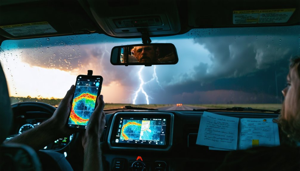
If you’re chasing storms with a mobile-first setup, Storm Radar gives you real-time radar mapping and storm movement visualization directly on your device.
You’ll find the app competent for tracking precipitation patterns and general storm positioning, though it doesn’t offer the advanced data layers that platforms like RadarScope or GRLevel3 provide.
Its consumer-facing design makes it accessible, but you’ll hit clear limitations when your analysis demands more than surface-level storm monitoring.
Core Mobile Tracking Features
Storm Radar’s mobile interface centers on real-time radar visualization and storm movement tracking, giving you a straightforward tool for monitoring precipitation and storm positioning in the field.
While it lacks advanced radar calibration controls, it delivers accessible storm data accuracy for quick situational awareness.
Key mobile tracking features include:
- Real-time radar updates keeping you ahead of rapidly shifting storm cells
- Animated storm movement letting you anticipate dangerous trajectories independently
- Precipitation intensity overlays giving you immediate visual context without complex configuration
- Mobile-optimized interface freeing you from desktop dependency during active chases
- Storm positioning tools helping you make fast, informed decisions in dynamic conditions
Storm Radar prioritizes accessibility over technical depth, making it a practical field companion when you need rapid storm monitoring without specialized analytical overhead.
Storm Visualization Capabilities
Beyond raw tracking mechanics, how Storm Radar renders storm data visually shapes how quickly you can interpret conditions and act. The app translates radar signal data into color-mapped overlays, letting you distinguish precipitation intensity zones without decoding raw numerical outputs. You can pan across active cells and observe storm structure in motion, identifying rotation signatures and boundary interactions directly on the map interface.
However, Storm Radar operates within consumer-grade visualization constraints. It won’t deliver the granular NEXRAD Level 3 products that RadarScope or GRLevel3 provide, limiting your ability to analyze tilt sequences or velocity differentials.
For basic positional awareness during a chase, the visual output is functional. For dissecting a complex supercell’s internal architecture, you’ll need a more analytically capable platform.
General Use Limitations
While Storm Radar handles basic mobile tracking competently, its consumer-grade design imposes hard limits on analytical depth. When you need precision, these limitations overview critical gaps in the user experience:
- You can’t access NEXRAD Level 3 products for detailed storm-structure analysis
- You’re locked out of real-time customization options that experienced chasers depend on
- You won’t find dual-polarization radar interpretation tools within the interface
- You’re restricted to simplified precipitation displays rather than velocity or tilt-angle data
- You can’t perform the granular mesocyclone tracking that high-stakes decisions demand
These constraints matter when conditions deteriorate rapidly. Storm Radar doesn’t equip you with the analytical freedom that platforms like RadarScope or GRLevel3 deliver. It’s a starting point, not a field-ready solution.
Rain Viewer Review: Radar Monitoring Built for Storm Tracking
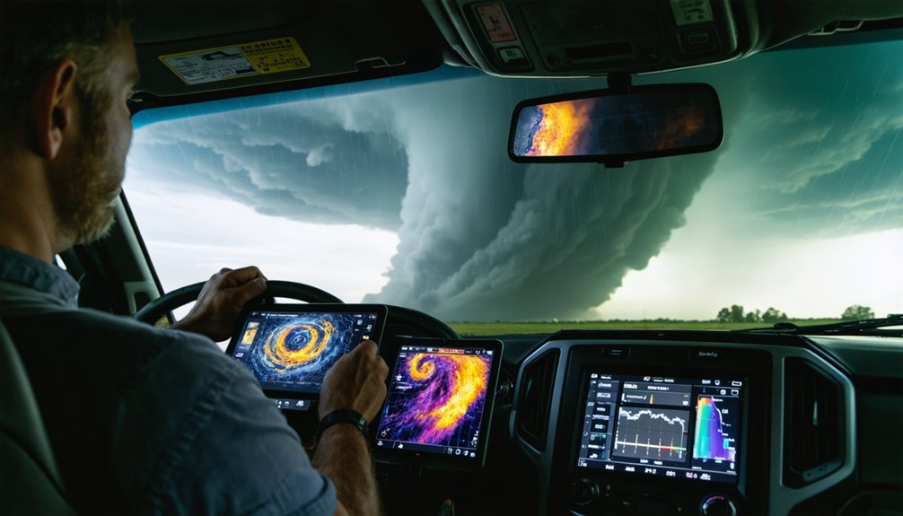
Rain Viewer positions itself as a radar-first meteorological app, and for storm trackers who need fast, visual access to precipitation data, it delivers on that premise. You’ll get clean radar signal interpretation without maneuvering excessive interface layers, making it a practical tool when you’re monitoring a developing storm pattern in the field.
It won’t replace the analytical depth of GRLevel3 or RadarScope, but it’s not trying to. Rain Viewer targets rapid situational awareness, letting you confirm storm positioning and precipitation movement quickly.
If you’re operating independently and need a lightweight radar solution that keeps you informed without demanding technical expertise, it fits that workflow. For broad accessibility without sacrificing core radar functionality, it’s a competent option worth including in your storm-chasing toolkit.
Storm Tracking Software Head-to-Head Comparison
Having covered each tool individually, it’s time to stack them against one another so you can match the right software to your specific storm-tracking workflow.
Radar calibration and data integration separate serious tools from casual apps:
- RadarScope delivers NEXRAD Level 3 precision—your sharpest radar calibration option for field analysis
- GRLevel3 wins on real-time customization, letting you own your data integration pipeline completely
- Windy broadens your situational awareness beyond raw radar into full meteorological context
- MyRadar and Storm Radar trade deep analysis for rapid mobile deployment during active chases
- Rain Viewer keeps radar access frictionless when you need quick precipitation confirmation fast
Your workflow determines your winner. If you’re chasing serious storms, RadarScope or GRLevel3 give you the analytical freedom you actually need.
Best Storm Tracking Software for Every Chase Style
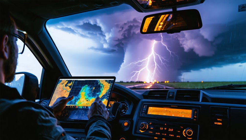
Every chase style demands a different software stack, so matching your tools to your workflow is what separates efficient field operations from wasted decision time.
If your approach prioritizes storm prediction and rapid intercept decisions, RadarScope or GRLevel3 gives you the NEXRAD Level 3 depth and real-time customization you need.
For broader situational awareness, Windy layers forecast context over live storm movement, keeping your positioning decisions grounded.
When you’re running mobile-first operations, MyRadar or Rain Viewer delivers quick precipitation checks without burdening your workflow.
Historical radar analysis sharpens your pattern recognition between chases, and both RadarScope and GRLevel3 support that research function.
Identify your primary operational need first, then build outward.
Your software stack should accelerate decisions, not create them.
Frequently Asked Questions
Can Storm Tracking Software Work Without a Mobile Data Connection?
Most apps require live connectivity for real-time radar feeds, limiting offline functionality considerably. You can’t rely on data synchronization without mobile access, so pre-downloading forecasts beforehand ensures you maintain situational awareness when you’re operating in dead zones.
Are Any of These Storm Tracking Tools Completely Free to Use?
You’ve got a universe of options! Windy, MyRadar, Storm Radar, and Rain Viewer offer completely free tiers, delivering solid radar accuracy and mobile accessibility, though you’ll access premium features by upgrading your plan.
Do Storm Chasers Typically Use Multiple Software Tools Simultaneously?
Yes, you’ll typically run multiple tools simultaneously, combining RadarScope’s NEXRAD Level 3 storm data with Windy’s forecast layers and GRLevel3’s customizable user interface, letting you capture every critical atmospheric variable independently.
Is Storm Tracking Software Legally Usable for Professional Meteorological Operations?
Yes, you can legally use storm tracking software for professional meteorological operations—just make certain you’re verifying software licensing terms for each tool and maintaining legal compliance with commercial or institutional use agreements before deploying them professionally.
How Frequently Is Radar Data Updated Across These Storm Tracking Platforms?
Radar update frequency varies wildly across platforms! RadarScope and GRLevel3 deliver NEXRAD data refresh rates nearly in real-time, while MyRadar, Storm Radar, and Rain Viewer update less frequently, giving you broader but less precise storm monitoring freedom.
References
- https://www.reddit.com/r/tornado/comments/1of2tc3/which_radar_app_is_superior_for_storm_chasing/
- https://play.google.com/store/apps/details?id=com.jrustonapps.myhurricanetracker&hl=es
- https://www.rainviewer.com/es/
- https://apps.apple.com/es/app/storm-radar-mapa-del-tiempo/id1216396545
- https://www.youtube.com/watch?v=JJQeJz0xsJk
- https://crazystormchasers.com/best-storm-tracking-tools-for-storm-chasers/
- https://crazystormchasers.com/real-time-storm-monitoring-software-options/
- https://play.google.com/store/apps/details?id=com.socialex.radar&hl=es
- https://www.reddit.com/r/stormchasing/comments/1cljsun/storm_tracking_software/
- https://www.reddit.com/r/stormchasing/comments/1qa9hh6/what_radar_app_do_storm_chasers_usually_use/



