To successfully chase storms in a race, you need to treat every meteorological signal as a direct competitive advantage. Monitor CAPE values above 2,000 J/kg and surface dewpoints exceeding 60°F to identify high-potential targets before rivals do. Cross-reference HRRR and GFS model outputs to refine your positioning while protecting escape routes. Manage cognitive energy strategically, since sharp decision-making under pressure separates winning moves from costly errors. The deeper tactical layers of storm-chasing strategy will sharpen your competitive edge considerably.
Key Takeaways
- Monitor surface dewpoints above 60°F and CAPE values exceeding 2,000 J/kg to identify optimal storm targeting zones.
- Cross-reference HRRR and GFS model outputs with SPC outlooks to refine targeting decisions and anticipate initiation timing.
- Prioritize dominant supercells over weak multicells, redirecting resources only when dual-pol radar data clearly supports switching targets.
- Maintain escape routes and proper entry angles while tracking competitors’ movements against radar data for strategic positioning advantages.
- Manage stress systematically by prioritizing rest, avoiding rushed decisions, and relying on data-driven analysis over emotional responses.
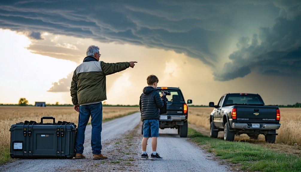
What Storm Chasing Actually Means in a Race
Storm chasing in a race context means you’re applying real meteorological decision-making under competitive time pressure, where targeting accuracy, positioning efficiency, and hazard avoidance directly determine both your score and your safety.
You’re not just observing storm dynamics — you’re actively integrating radar data, surface analyses, and mesoscale trends to outmaneuver competitors while maintaining situational awareness.
Competitive storm chasing demands relentless data integration — radar, surface trends, and mesoscale signals — while keeping rivals and hazards in constant view.
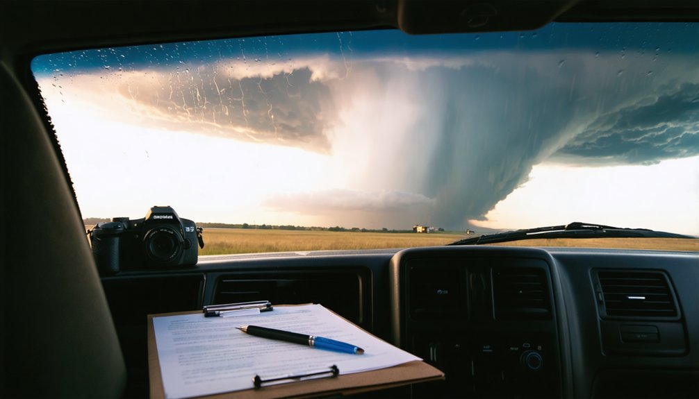
Every routing decision carries consequences. Prioritize understanding storm motion vectors, inflow regions, and outflow boundaries rather than blindly chasing the highest reflectivity core.
Your chase strategies must balance speed with precision, selecting ideal approach angles that maximize visual confirmation while preserving escape routes.
Treat each decision checkpoint like a forecast verification moment — compare your predictions against evolving conditions and adjust immediately.
Efficiency, accuracy, and disciplined risk management separate competitive chasers from reactive ones.
Spot the Storm Before It Forms
Before a storm ever appears on radar, you’ll want to pull up the HRRR and GFS models to compare forecast soundings, CAPE values, and wind shear profiles across your target region.
Track surface dewpoints and low-level moisture flux to pinpoint where instability is building fastest.
Cross-referencing these variables against SPC convective outlooks gives you a sharper, earlier fix on where initiation is most likely.
Analyze Early Forecast Models
Catching a storm before it forms starts with early model analysis—specifically, reviewing the HRRR and GFS outputs alongside SPC convective outlooks and mesoscale discussions the night before or early morning of your chase day.
Compare each model’s depiction of moisture transport, instability corridors, and lifting mechanisms. When you spot forecast discrepancies between the HRRR and GFS—particularly in convective initiation timing or placement—treat that uncertainty as a signal to weight shorter-range, higher-resolution guidance more heavily.
Don’t anchor to a single model run; instead, track consecutive runs to identify trends. Cross-reference model soundings against SPC products to validate your own target hypothesis.
This systematic comparison sharpens your decision-making and keeps your positioning flexible before storms mature into chase-worthy targets.
Track Moisture And Instability
Moisture and instability are the fuel that drives convective development, so tracking both in real time separates reactive chasers from those who anticipate where storms will fire.
Prioritize these four moisture tracking and instability analysis checkpoints:
- Monitor dewpoint trends — surface dewpoints above 60°F signal sufficient moisture flux for convective initiation.
- Assess CAPE values — target regions exceeding 2,000 J/kg using HRRR model soundings.
- Identify the dryline — this boundary concentrates moisture gradients and focuses storm initiation zones.
- Check CIN suppression — moderate convective inhibition caps storms until afternoon heating breaks the cap explosively.
Cross-reference surface analyses with upper-air data continuously.
You’ll position yourself ahead of development, not behind it.
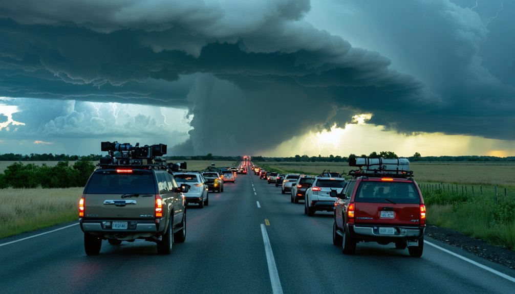
Which Rivals Are Worth Chasing: and Which Drain You
Not every storm on radar deserves your fuel, your time, or your risk exposure. Rival evaluations separate productive targets from energy drains.
Apply strategic targeting by cross-referencing HRRR output, dual-pol signatures, and storm-relative velocity before committing. If a competing cell lacks sufficient shear, moisture depth, or lift convergence, it’s burning your resources without delivering results.
Cross-reference your data before committing. Weak signatures and missing convergence mean a target that costs more than it delivers.
Energy assessment matters. Weak, disorganized multicells rarely justify repositioning when a dominant supercell anchors your primary target. Redirect only when data clearly supports the switch.
Risk management ties directly to your escape routes. A rival storm that blocks your exit corridors isn’t worth chasing regardless of its visual appeal.
Protect your operational freedom by staying disciplined, trusting your forecast, and cutting targets that compromise your positioning or safety margins.
Manage Your Energy Before the Storm Peaks
Storm activity typically peaks in the late afternoon and early evening, so you’ll want to protect your cognitive sharpness for that critical window.
Front-load your rest the night before and resist burning energy on marginal morning targets that offer little strategic value.
Pacing your early efforts keeps your decision-making sharp when storm structure, positioning, and escape-route assessments demand peak mental performance.
Rest Before Peak Hours
Because peak convective activity typically clusters between early afternoon and late evening, fatigue during those critical hours directly degrades your decision-making, reaction time, and situational awareness.
Implement disciplined rest strategies and energy recovery protocols before storms mature:
- Sleep 7–8 hours the night before a high-risk chase day, prioritizing sleep onset before midnight.
- Avoid caffeine dependency—use it strategically during mid-morning, not as a substitute for actual rest.
- Nap 20–30 minutes between 10:00–11:30 AM if overnight sleep was insufficient, maximizing alertness without entering deep sleep cycles.
- Eat nutrient-dense meals low in refined sugar to sustain cognitive performance without energy crashes.
You’re operating in dynamic, high-consequence environments—your biological readiness directly determines how effectively you’ll exploit positioning windows when storms peak.
Pace Your Early Efforts
Early-morning reconnaissance and positioning tasks can drain your physical and cognitive reserves hours before peak convective activity arrives, leaving you degraded precisely when rapid decision-making matters most.
Implement deliberate pacing strategies by distributing your early observations across scheduled intervals rather than continuous monitoring. Review HRRR model output and surface analyses at defined checkpoints—every 90 minutes, for example—then step away to conserve mental bandwidth.
Avoid chasing every minor convective development before your primary target matures; premature repositioning burns fuel, time, and focus.
Prioritize high-value early observations like boundary identification and storm initiation signals, then hold your position.
You’ll execute faster, cleaner decisions during peak storm activity when you’ve protected your cognitive resources through disciplined, structured effort during the morning hours.
When to Chase the Storm and When to Hold Position

Knowing when to reposition versus hold your ground separates effective chasing from reactive scrambling. Storm timing and position strategy depend on precise data interpretation, not gut instinct.
Monitor these four indicators before deciding:
- Storm motion vector — If the cell tracks toward your location, hold and observe.
- Radar velocity trends — Increasing rotation suggests imminent structure changes; reposition south or east accordingly.
- Outflow boundaries — Expanding cold outflow means the storm’s accelerating; don’t let it overtake you.
- Escape route viability — If roads ahead narrow or flood, move immediately regardless of visual appeal.
You own your decisions out there. Cross-check HRRR updates against real-time dual-pol radar before committing to any repositioning move.
Reactive chasers lose storms; analytical ones stay ahead.
Storm-Chasing Mistakes That Cost Racers Places
Smart positioning decisions keep you in the game, but even experienced chasers surrender placements through avoidable tactical errors.
Mistake Awareness starts with recognizing patterns that repeatedly bleed positions.
Timing Errors destroy race strategy faster than any rival. You’ll lose ground committing too early to a storm cell that dissipates before peak intensity.
Commit too early to the wrong cell and you’ve already lost—before the storm even decides to show up.
Forecast Misinterpretation compounds this—misreading shear vectors or moisture convergence zones sends you chasing phantom opportunities while competitors capitalize on stronger developments.
Positioning Blunders follow closely. Poor entry angles eliminate escape routes and restrict your observational advantage.
Rival Analysis prevents this; track competitors’ movements against radar data to identify their strategic vulnerabilities.
Energy Drain from repeated repositioning costs critical reaction time.
Pressure Management keeps your decision-making clean—rushed choices under competitive stress amplify every preceding error exponentially.
Frequently Asked Questions
How Do You Recover Mentally After a Failed Storm Chase Attempt?
Just as storms dissipate unexpectedly, so does disappointment—you rebuild mental resilience by analyzing your data logs, refining emotional strategies through objective debriefs, identifying forecast errors, and treating each failed chase as invaluable skill-building experience for tomorrow’s pursuit.
What Gear or Tools Do Racers Use to Track Competitors Effectively?
You’ll leverage GPS devices to monitor positions, use communication tools for real-time updates, and deploy tracking software for competitor analysis. Data analysis lets you identify patterns, optimize strategy, and maintain your competitive edge independently.
How Does Storm Chasing Differ Across Various Racing Formats and Distances?
Like a chameleon adapting, you’ll shift sprint strategies for short bursts of aggressive pursuit, while endurance tactics demand you pace data analysis, conserve resources, and continuously recalibrate positioning across extended racing formats and distances.
Can Storm Chasing Tactics Backfire in the Final Lap Specifically?
Yes, final lap strategies can backfire when your risk assessment misjudges tire degradation or rival pace. You’ll overcommit to aggressive moves, surrendering positions you’d otherwise hold by maintaining calculated, data-informed restraint through the closing stages.
How Do Team Dynamics Influence Individual Storm Chasing Decisions Mid-Race?
Your team’s communication directly shapes your decision making strategies mid-race. When teammates relay real-time data, you’ll adapt positioning faster, avoid reactive errors, and execute calculated storm-chasing moves that balance collective risk assessment with your individual racing instincts.
References
- https://www.flame.org/~cdoswell/chasesums/Chase_safety.html
- https://www.youtube.com/watch?v=nxPSFg2R8YY
- https://www.reddit.com/r/stormchasing/comments/1ooimws/does_anyone_have_tips_for_a_storm_chasing/
- https://www.wiu.edu/SevereWeather/images/presentations/How_to_Effectively_Storm_Chase.pdf
- https://www.reddit.com/r/stormchasing/comments/1ditn4z/if_there_was_one_tip_you_could_give_about_storm/
- http://www.stormeyes.org/tornado/chasing/FAQ/
- https://stormchaser.com/Storm-Chasing-Safety.pdf
- https://weather.cod.edu/chasing/assets/documents/safety.pdf
- https://www.youtube.com/watch?v=6otZLjSZvPU&vl=en
- https://www.reddit.com/r/stormchasing/comments/1boanfg/how_do_i_get_started_storm_chasing/