Utilizing Doppler radar for successful storm chasing means you’ll analyze velocity couplets, reflectivity structures, and tilt data to stay ahead of rapidly evolving storms. You can detect mesocyclone rotation 20+ minutes before it’s visible by identifying tight opposing color pairs within small gate spacing. Cross-reference multiple radar sources, monitor echo tops exceeding 50,000 feet, and maintain fully charged devices for continuous updates. Master these data layers and you’ll gain a decisive tactical edge on every chase.
Key Takeaways
- Doppler radar transmits microwave pulses, analyzing returned energy to detect precipitation, radial velocity, and mesocyclone development before visual signs appear.
- Configure radar apps to refresh every 1–2 minutes and cross-reference multiple sources to eliminate blind spots and validate storm data.
- Hook echoes and echo tops exceeding 50,000 feet indicate supercell organization, tornado potential, and significant vertical storm development.
- Tight opposing color couplets exceeding 40–50 knots with shear ≥0.02 sec⁻¹ signal rotation requiring immediate repositioning and safety reassessment.
- Use 0.5° tilt during active intercepts and incorporate higher tilts to track mesocyclone depth and vertical continuity during intensification.
How Doppler Radar Works for Storm Chasers
How does Doppler radar give storm chasers a tactical edge before a tornado ever touches down? It works by transmitting microwave pulses and analyzing returned energy for precipitation intensity alongside phase shifts for radial velocity.
That velocity data reveals rotation toward or away from the radar, letting you identify mesocyclone development before any visual confirmation exists.
Velocity data exposes mesocyclone rotation long before a tornado becomes visible to the naked eye.
Dual-polarization capabilities take your analysis further by enabling storm debris analysis, distinguishing lofted material from precipitation signatures and confirming actual ground contact in low-visibility conditions. You’re not guessing — you’re reading physical data.
Consistent radar calibration guarantees measurement accuracy, which directly affects how reliably you interpret velocity couplets and reflectivity structure. Without properly calibrated equipment, your tactical decisions rest on degraded data, and in a rapidly evolving storm environment, that margin is unacceptable.
Set Up Your Radar Apps Before You Leave Home
Before you leave home, configure your radar apps to refresh every 1–2 minutes, since slower update cycles can mask rapid storm intensification.
Cross-reference at least two radar sources to eliminate blind spots and reduce the risk of misreading clutter artifacts as real storm features.
You’ll also want fully charged devices and a backup power solution on hand, because a single data gap during a critical scan cycle can compromise your ability to make safe, informed positioning decisions.
Choosing Reliable Radar Apps
Cross-reference at least two radar sources to eliminate blind spots and validate storm environment data independently. Single-source dependence creates vulnerability when servers lag or coverage gaps appear.
Verify backup power solutions are charged and functional, since continuous data access directly governs your pursuit decisions.
Apps supporting dual-polarization products give you additional confirmation capability, particularly when distinguishing debris signatures from precipitation in low-visibility tornado situations.
Preparation here isn’t optional—it’s tactical.
Ensuring Backup Power Readiness
Power failure mid-chase isn’t just an inconvenience—it’s a decision-killing gap that can leave you blind during the most critical storm cycle minutes. Storm motion doesn’t pause while you scramble for a charging cable.
Before departure, verify every device—tablet, phone, hotspot—is fully charged and radar maintenance checks are complete, confirming apps are updated and data connections are active.
Carry a high-capacity power bank rated above 20,000mAh and a dedicated car inverter as redundant power sources. Mount charging cables within reach so power transfers don’t interrupt your scan cycle.
A single missed 1–2 minute radar refresh during rapid mesocyclone development can collapse your situational awareness entirely. Treat power readiness as non-negotiable infrastructure, not an afterthought—your freedom to pursue and exit safely depends on uninterrupted data access.
Read Reflectivity Data to Spot Storm Structure
When you pull up reflectivity data, start with composite reflectivity to get a broad structural read on the storm before diving into velocity products. Reflectivity interpretation across multiple tilts confirms whether features are real or clutter artifacts, sharpening your storm structure analysis.
Start with composite reflectivity for the big picture, then verify across tilts before trusting what you’re seeing.
Watch for these critical markers:
- Hook echoes signal supercell organization and elevated tornado potential — don’t ignore this classic indicator
- Echo tops exceeding 50,000 feet reveal deep, intense convective towers pushing the storm’s destructive ceiling higher
- Cross-tilt verification separates genuine structural features from false returns that could misguide positioning decisions
Pairing reflectivity interpretation with vertical wind profiles and storm trends tells you whether the environment actively supports severe growth. Read the data objectively, act on what it confirms, and keep your exit options open.
Decode Velocity Couplets Before Rotation Goes Visual
Velocity couplets give you rotation data before your eyes ever confirm a funnel — so you need to read them before the storm forces your hand.
On your velocity product, look for tight opposing colors — typically green moving toward the radar, red moving away — compressed within a small gate spacing. Those velocity patterns signal mesocyclone development before any visual signature emerges.
When gate-to-gate shear hits 0.02 sec⁻¹ or couplet strength exceeds 40–50 knots, treat those rotation indicators seriously and reassess your position immediately.
Pair velocity data with your reflectivity structure — a hook echo alongside a strengthening couplet confirms organized rotation.
Don’t wait for a Tornado Vortex Signature to act. By then, your exit window may already be closing.
Choose the Right Radar Tilts at Each Chase Stage
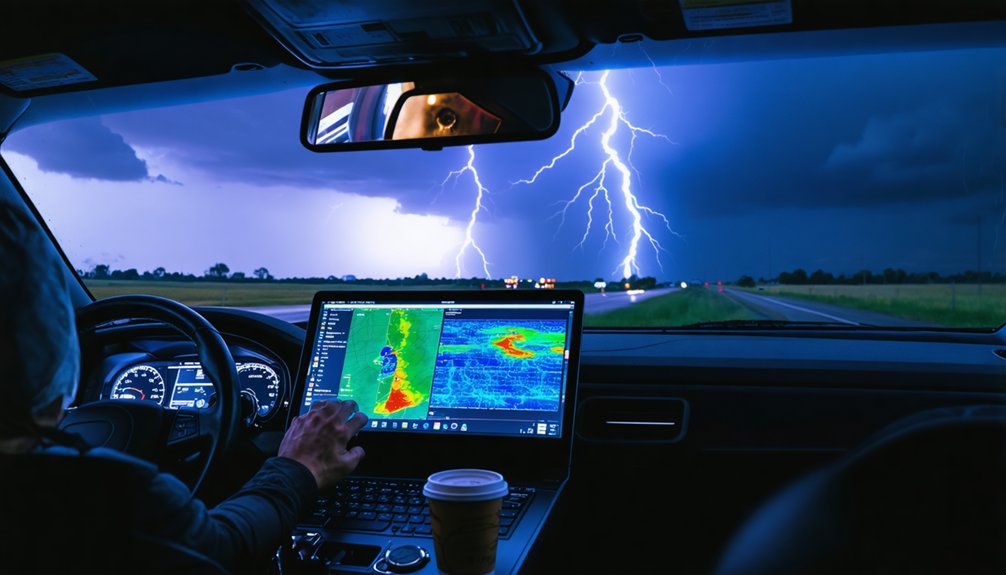
Tilt selection isn’t static — it shifts with each phase of the chase. Early on, composite reflectivity gives you broad storm structure before committing to intercept. As you close distance, drop to 0.5° to monitor near-ground rotation and hook development.
Mid-chase, layer in 1.5° and 2.4° tilts to track updraft strength and mesocyclone depth. Radar calibration matters here — uncalibrated data skews your tilt interpretation and costs you precision when it counts.
- Pre-intercept: Use composite reflectivity to assess overall storm structure and identify viable targets
- Active intercept: Prioritize 0.5° for low-level rotation signatures and gate-to-gate shear
- Intensification phase: Cross-reference 1.5° and 2.4° tilts to confirm mesocyclone vertical continuity
Your tilt discipline directly determines how early you detect critical changes.
Know When to Stop Chasing and Reposition
Radar data doesn’t just tell you when to chase — it tells you when to stop. Storm fatigue degrades judgment, and degraded judgment kills. When velocity couplets tighten between consecutive scans and your escape routes are narrowing, that’s your decision threshold. Don’t negotiate with it.
Radar tells you when to chase — and when to stop. Fatigue kills. Don’t negotiate your exit.
Watch for gate-to-gate shear climbing above 0.02 sec⁻¹ on the 0.5° tilt while road options compress. If rotation intensifies faster than you can reposition perpendicular to storm motion, you’ve waited too long.
Dual-polarization debris signatures confirming ground contact demand immediate withdrawal, not continued observation.
Reposition early, before the storm forces your hand. Your freedom to chase another day depends on treating radar-triggered exit signals as non-negotiable commands rather than suggestions worth reconsidering.
Frequently Asked Questions
How Does Dual-Polarization Radar Confirm a Tornado Has Touched the Ground?
Like a fingerprint at a crime scene, tornado debris scatters polarimetric signals chaotically. You’ll spot reduced correlation coefficient values alongside radar velocity couplets, confirming ground contact even when low visibility hides the tornado itself.
What Gate-To-Gate Shear Value Signals Dangerously Severe Rotation on Radar?
When you’re tracking rotation indicators, gate-to-gate shear thresholds at or above 0.02 sec⁻¹ signal dangerously severe rotation. You’ve hit critical mesocyclone territory—reposition immediately, reassess your escape routes, and don’t let tightening couplets trap your exit window.
How Much Does Seasonal Radar Calibration Improve Storm Tracking Precision?
You’ll gain 15% better tracking precision through seasonal calibration accuracy. It’s not optional—signal enhancement directly sharpens your data integrity, letting you analyze storm movement with tighter confidence and pursue smarter, unrestricted decisions in dynamic severe weather environments.
How Do SPC Mesoscale Discussions Help Chasers Define Their Target Area?
SPC mesoscale discussions sharpen your storm prediction by flagging evolving atmospheric threats, timing windows, and risk zones. They’ll refine your radar interpretation focus, letting you target high-probability severe weather corridors before committing resources to a specific intercept area.
Can Mobile Radar Deployments Outperform Fixed-Site Radar for Close-Range Measurements?
Yes, when fixed infrastructure falls short, mobile flexibility liberates your data collection. Your deployment strategies let you position close-range assets where fixed-site radar can’t reach, capturing high-resolution storm measurements that redefine situational awareness during rapid intensification.
References
- https://crazystormchasers.com/optimizing-doppler-radar-for-storm-chasers-expert-tips/
- https://crazystormchasers.com/top-tips-for-storm-chasers-using-doppler-radar/
- https://www.youtube.com/watch?v=G2upCSLvmks
- https://crazystormchasers.com/unlocking-the-benefits-of-doppler-radar-in-storm-chasing/
- https://crazystormchasers.com/doppler-radar-technology-for-storm-surveillance/
- https://www.youtube.com/watch?v=q4fwYUScwOM
- https://www.youtube.com/watch?v=9oi0OK137VM
- https://www.eoas.ubc.ca/books/Practical_Meteorology/prmet/Ch15-Thazards.pdf
- https://ams.confex.com/ams/pdfpapers/176816.pdf
- https://www.youtube.com/watch?v=Bdsi3rQay3g



