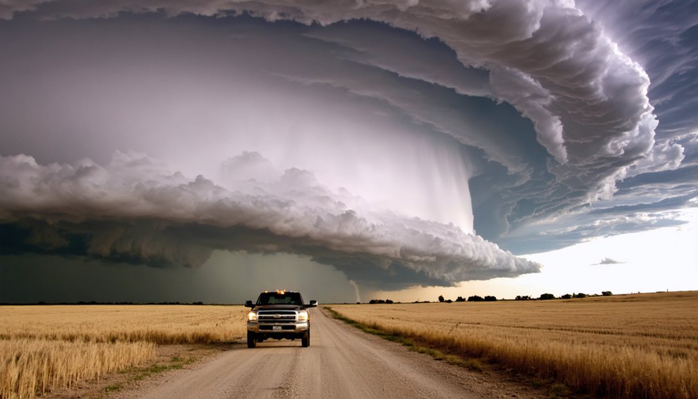
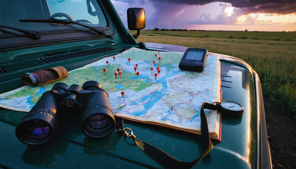
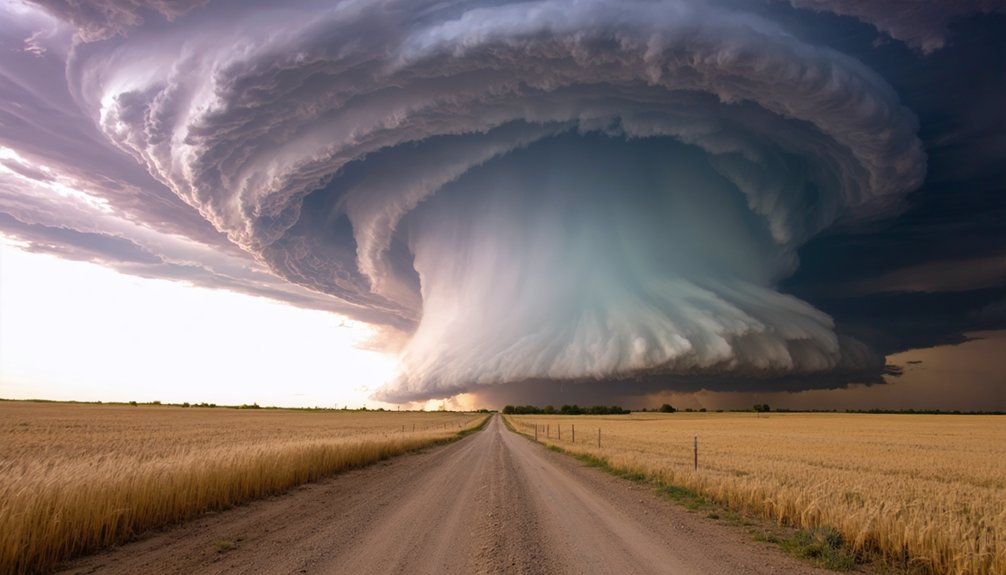
Position yourself west of Amarillo near the dryline during mid-May through mid-June, where supercells fire most reliably along the 102nd meridian corridor. The flat, open terrain gives you clear sightlines, and storms initiating in the western and northwestern sectors tend to stay discrete longer. You’ll want CAPE exceeding 2,000 J/kg and a strong shortwave trough overhead before deploying. The Texas Panhandle rewards chasers who prepare thoroughly, and there’s considerably more to understand before you commit to a target.
Key Takeaways
- The western and northwestern Texas Panhandle, especially west of the 102nd meridian, produces the most discrete, organized supercells for chasing.
- Position west of Amarillo early in the day to intercept storms firing along the afternoon dryline.
- Flat, open plains offer ideal sightlines, while terrain east of the plains reduces visibility and reaction time.
- I-40 and TX-335 are critical corridors; TX-335 bypasses Amarillo congestion during rapid storm repositioning.
- Mid-May to mid-June is the prime chase window, when frequent, well-organized supercells produce tornadoes and large hail.
Why the Texas Panhandle Belongs on Every Chaser’s Target List
The Texas Panhandle sits at the heart of Tornado Alley, sharing that high-threat corridor with Oklahoma and Kansas. It reliably produces some of the most chaseable supercells on the central Plains during its peak window of mid-May to mid-June.
Historical weather records confirm that the region generates multiple tornado-producing storms each spring, with large hail and significant tornadoes appearing across the data with regularity.
The data doesn’t lie — significant tornadoes and large hail return to the Panhandle every spring, reliably and repeatedly.
You’ll find that minimal urban development across the western and northern plains keeps sightlines open, letting you track supercell structure without obstruction. That openness translates directly into safer positioning and cleaner intercepts.
The flat terrain, combined with a historically active severe-weather climatology, makes the Panhandle a target you can justify on meteorological merit alone, not just tradition or reputation.
When Storm Season Peaks in the Texas Panhandle
Storm season in the Texas Panhandle peaks between mid-May and mid-June, when the clash between Gulf moisture, dry lines, and upper-level disturbances produces the most frequent and intense supercell setups. During this window, storm formation accelerates rapidly across the open plains, giving you a concentrated stretch of high-probability chase days.
April can still deliver severe weather, but consistency drops sharply compared to late spring. By late May, active patterns often shift northward toward Kansas and Nebraska, pulling prime setups away from the Panhandle.
You’ll want to plan your chase window tightly around that mid-May to mid-June core. Missing it by even two weeks can mean exchanging prolific supercell days for scattered, less-organized convection that rarely justifies the drive.
Where Supercells Form Most Often Across the Panhandle
When you’re targeting supercell initiation across the Texas Panhandle, the western plains consistently produce the earliest and most organized storm development.
You’ll most often find storms firing along the dryline, which pushes eastward through the region during peak afternoon heating and creates a sharp moisture-convergence boundary that supercells exploit.
Positioning yourself west of Amarillo early in the chase day gives you the best angle to intercept storms before they accelerate northeast into less accessible terrain.
Western Panhandle Initiation Zones
Across the Texas Panhandle, supercell initiation most often favors the western and northwestern sectors, where dryline convergence and orographic lift from the Rockies’ remnant terrain combine to trigger discrete convection on otherwise clear-sky days.
You’ll notice cloud development accelerating rapidly along this corridor, typically between 1800–2100 UTC during peak instability windows. Precipitation patterns here tend to concentrate along narrow dryline bulges, producing isolated but intense supercell structures that are easier to target and intercept before storm mode shifts occur.
Position yourself near Dalhart or Stratford to maximize your early-cycle intercept window. Storms initiating west of the 102nd meridian frequently remain discrete longer, giving you cleaner structure, better visibility, and stronger positioning options before the convective line matures into a more complex, harder-to-chase mode.
Dryline-Driven Storm Development
The dryline is your primary convective trigger across the Texas Panhandle, and understanding where it typically sets up determines where supercells most often fire. During peak spring afternoons, the dryline surges eastward from eastern New Mexico, separating dry continental air from Gulf moisture.
Storm initiation typically clusters along the dryline’s eastern edge, where moisture levels rise sharply and surface convergence maximizes instability. Watch dewpoints carefully — a jump from the low 40s to the mid-50s over a short distance signals the boundary.
Supercells most frequently develop between Amarillo and Canadian as the dryline pushes into higher moisture. Position yourself ahead of the boundary early, typically by early afternoon, giving yourself room to intercept storms as they mature and track northeast.
How Texas Panhandle Terrain Controls Your Chase Positioning
Storm-chasing in the Texas Panhandle rewards chasers who understand how terrain directly shapes positioning options. The western plains offer flat, open sightlines ideal for tracking supercells at distance.
Move east, and terrain diversity increases sharply — scattered canyons, rolling breaks, and denser vegetation create visibility challenges that compress your reaction window.
You’ll need to account for how these features cut off escape routes and block storm structure views. Positioning west of target areas early gives you the clearest sight picture and the most flexible repositioning angles.
Once you’re hemmed in by draws or creek drainages, your options narrow fast.
Prioritize routes that keep you on higher, open ground. The terrain won’t forgive passive repositioning decisions when a fast-moving supercell demands immediate course corrections.
Roads and Routes Every Texas Panhandle Chaser Needs To Know
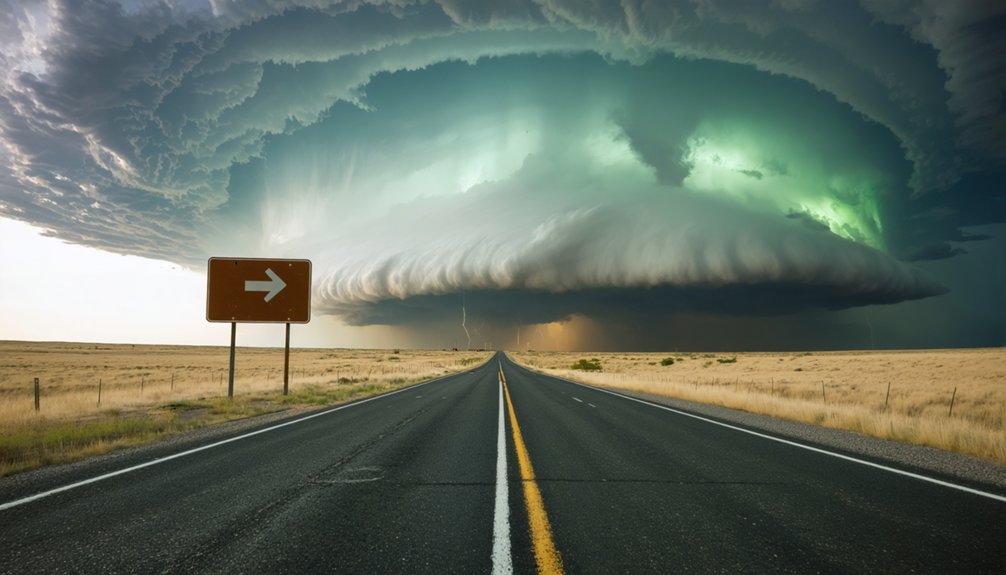
Your primary east-west axis is I-40, while I-27 gives you a north-south corridor connecting Amarillo toward Lubbock before terminating abruptly at the city.
When storms push north toward the upper Panhandle, use TX-335 to bypass downtown Amarillo rather than losing critical repositioning time in urban traffic.
Beyond these corridors, road density drops sharply, so you’ll need to identify gaps in the rural grid before a storm forces a route decision under pressure.
Key Highways To Know
Whether you’re repositioning north-south or cutting east-west across the Panhandle, knowing your key routes before a chase day prevents costly delays. I-40 serves as your primary east-west corridor, letting you track storm motion efficiently across the region.
For north-south movement, I-27 connects Amarillo southward toward Lubbock, though it terminates abruptly in Amarillo, limiting options heading north.
When you need to bypass downtown Amarillo quickly to maintain visual contact with cloud structure, TX-335 gives you a reliable alternate.
The overall road network rates as fair — gaps and irregular grid patterns can slow repositioning during fast-moving setups. Pre-load your routes, identify dead ends early, and build contingency paths into your chase plan before storms initiate.
Bypassing Downtown Amarillo
Cutting through downtown Amarillo mid-chase costs you time you can’t recover. Urban congestion turns a two-minute crossing into a ten-minute crawl when storms are moving fast and your intercept window is closing.
Use TX-335 as your standard bypass. It loops around Amarillo’s western and southern edges, letting you shift between I-40 and I-27 without fighting traffic congestion in the city core.
If you’re repositioning north toward Canadian or south toward Lubbock, TX-335 keeps you mobile and on your terms. Build this route into your pre-chase plan before storms initiate.
Don’t wait until you’re already deep in a chase sequence to figure out your bypass. Knowing this alternate route gives you freedom to reposition aggressively without losing ground to stop-and-go urban traffic.
Navigating Sparse Road Gaps
Bypassing Amarillo solves one problem, but open road doesn’t guarantee smooth repositioning once you’re past the city. Terrain variability across the Panhandle creates uneven road accessibility that can stall your intercept when storm motion is fast.
West of Amarillo, the grid stays relatively consistent, giving you workable north-south and east-west options. Move east, and that grid breaks down. Roads dead-end, jog unexpectedly, or simply don’t connect where you need them to. A gap of even a few miles can cost you a tornado.
Pre-load county road maps before you deploy. Identify your escape routes and parallel options before the storm forces the decision. When road accessibility tightens and storms accelerate, you won’t have time to improvise your route in real time.
Which Radar Tools Give the Best Texas Panhandle Coverage
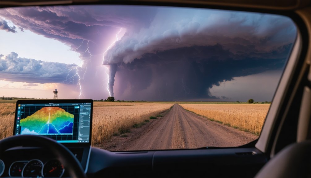
Storms tracking in from southeastern Colorado present another blind spot, as no nearby radar provides clean low-level coverage there. To compensate, layer multiple radar sites using tools like GR2Analyst or RadarScope’s multi-site view.
Pulling data from KPUX (Pueblo) or KVNX (Vance) helps fill those holes. Don’t rely on a single radar when you’re maneuvering across sparse terrain with limited repositioning options.
Tornadoes, Hail, and Wind: What Texas Panhandle Storms Produce
When chasing the Texas Panhandle, you’re dealing with a threat profile dominated by three hazards: tornadoes, large hail, and damaging wind.
Supercells here regularly produce significant tornadoes during mid-May through mid-June, with some seasons generating strong, long-track events. Storm structure in these systems tends to be classic and well-organized, making visual identification more reliable on open terrain.
Large hail is arguably the most consistent threat. Intense updrafts sustain hailstone growth efficiently, and stones exceeding two inches aren’t uncommon.
You’ll also contend with damaging straight-line winds as storms evolve or bow out.
Lightning frequency in Panhandle supercells runs high, adding risk during close intercepts.
Understanding each hazard’s timing within storm evolution lets you position aggressively while maintaining a viable escape route.
The Biggest Risks Facing Texas Panhandle Storm Chasers
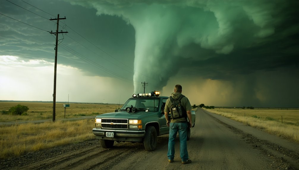
Knowing the threat profile of Panhandle supercells is only half the equation—you also need to understand how the region’s specific operational environment compounds those hazards.
Sparse road networks limit your repositioning options when fast-moving storms force rapid course corrections.
Radar gaps near the far northeastern Panhandle and along the southeastern Colorado border degrade storm prediction accuracy, leaving you with incomplete data during critical intercept windows.
Large hail can disable your vehicle faster than you can exit the core.
Lightning safety becomes non-negotiable on open plains where you’re frequently the tallest object within miles.
Terrain irregularities—canyons, dead-end county roads—can trap you if a tornado cuts your escape route.
Treat every intercept as a calculated decision, not a reactive one.
How To Read a Texas Panhandle Chase Day Before You Deploy
Reading a Texas Panhandle chase day correctly before you leave the driveway separates productive intercepts from wasted mileage. Study the upper-level pattern first. A strong shortwave trough moving through the southern Rockies typically drives the most favorable weather patterns for supercell development across the Panhandle.
Check afternoon surface boundaries carefully. A sharp dryline positioned west of Amarillo, combined with backed low-level winds and CAPE exceeding 2,000 J/kg, signals high storm types potential — specifically discrete supercells capable of producing tornadoes and large hail.
Verify KAMA radar coverage relative to your target area before committing. If your target sits in the far northeastern corner, anticipate radar gaps. Confirm road options in advance. Sparse networks punish poor positioning. Knowing your escape routes before initiation keeps you mobile and in control.
Frequently Asked Questions
What Emergency Services Are Available in Remote Texas Panhandle Chase Areas?
When storm tracking pushes you into remote zones, you’re on your own longer than you think. Emergency communication’s sparse out there — cell coverage drops, response times stretch, so you’ll want satellite devices and self-sufficiency.
Do Texas Panhandle Storms Behave Differently at Night Than During Daylight?
Yes, nighttime storm behavior shifts considerably—you’ll face reduced storm visibility variations, losing visual cues critical for safe positioning. Storms can accelerate, rotate more aggressively, and produce tornadoes with minimal warning, making nocturnal chasing inherently riskier than daylight operations.
Are There Local Storm Chasing Communities or Groups Based in Amarillo?
You’ll find storm chasers active in the Amarillo area, though formal Amarillo meetups aren’t widely documented. Check local NWS Amarillo channels, social media storm-chasing groups, and Spotter Network to connect with regional chasers who’ll share real-time data.
What Fuel and Supply Stops Exist Along Common Texas Panhandle Chase Corridors?
Along I-40 and TX-335, you’ll find fuel and supplies in Amarillo and Canadian. Stock your storm chasing gear and weather forecasting tools before heading into sparse corridors where stops become infrequent and self-reliance’s essential.
How Do Dust Storms in the Panhandle Affect Visibility During Active Chase Days?
Ironically, you’re chasing storms, yet dust storm dynamics steal your show first. Visibility interference drops rapidly below a quarter-mile, blinding your radar correlation, complicating intercept angles, and forcing you to abandon otherwise perfect supercell positioning across open Panhandle terrain.
References
- https://www.quincyvagell.com/guide-panhandles/
- https://blog.daytripto.com/storm-chasing-101-all-you-need-to-know-about-tornado-hunting-tours/
- https://www.reddit.com/r/stormchasing/comments/1d6ceey/best_state_for_foreigner_and_storm_chasing/
- https://crazystormchasers.com/top-tornado-alley-storm-chasing-routes/
- https://www.youtube.com/watch?v=ENPSpo4Hc9Q
- https://www.quincyvagell.com/guide-southwest-texas/
- https://www.youtube.com/watch?v=K240UVG7KJM
- https://stormchasing.com/about-us/