Waterspout photos give you ground-truth data that radar and satellites simply can’t deliver at the structural scale that matters. Radar resolves precipitation cores at roughly 1 km; satellites manage around 250 meters. Neither captures spray rings, funnel curvature, or contact points that confirm wind speeds exceeding 40 knots. You’re documenting funnel diameters averaging 39 meters with measurable precision. Photos also help you distinguish fair-weather waterspouts from tornadic types that sensors routinely misclassify. Stick around, and you’ll uncover exactly how this visual data sharpens hazard assessment and field decisions.
Key Takeaways
- Waterspout photos serve as ground-truth evidence, confirming or correcting radar and satellite reports that often miss critical structural details.
- High-resolution images freeze rotational motion, enabling precise analysis of funnel shape, diameter, curvature, and wind-driven water mist behavior.
- Visual markers like spray rings verify wind speeds exceeding 40 knots, providing measurable proof beyond remote sensing capabilities.
- Photos distinguish fair-weather waterspouts from tornadic types, reducing misclassification errors common in radar-based detection methods.
- Visual documentation refines storm models, hazard assessments, and public safety messaging, transforming raw observational data into actionable scientific insights.
Why Waterspout Photos Matter More Than Radar Alone
While radar systems detect broad storm signatures, they miss the structural nuances that photographs capture with precision. Sensor limitations prevent radar and satellites from identifying critical features like spray rings, which indicate wind speeds exceeding 40 knots. You need visual documentation to verify these anomalies and fill critical data gaps.
Aerial perspectives and ground-level photography together reveal funnel diameters averaging 39 meters, structural contact points between rotating columns and water surfaces, and movement patterns radar simply can’t resolve. Your images distinguish fair-weather waterspouts from tornadic types—a distinction that directly impacts safety decisions and scientific classification.
High-resolution footage delivers measurable, ground-truth evidence that remote sensing technology can’t replicate. You’re not supplementing radar data with photos; you’re correcting it, strengthening storm dynamics research with precise, unfiltered visual records.
How Waterspout Photos Validate Radar and Satellite Data
When radar detects an anomaly, your photographs become the ground-truth evidence that confirms or corrects what sensors report. Satellites and Doppler systems miss critical structural details — spray rings indicating wind speeds exceeding 40 knots, funnel diameters averaging 39 meters, or the precise contact point between rotating air columns and water surfaces.
Your photographic techniques bridge these data gaps directly. Applying fast shutter speeds at 1/500s or faster freezes dynamic motion, producing sharp imagery that scientists use to verify meteorological patterns against radar returns. High-resolution footage allows precise diameter measurements ranging from 3 to 105 meters — data satellites simply can’t resolve independently.
You’re not just capturing dramatic visuals; you’re generating calibration data that distinguishes fair-weather waterspouts from tornadic formations, giving researchers verifiable records that remote sensing technology can’t independently produce.
How Waterspout Photography Captures Details Sensors Consistently Miss
When you photograph a waterspout, you capture structural details like spray rings that radar and satellite sensors consistently fail to resolve.
Your images provide direct evidence of wind speeds exceeding 40 knots, data points that remote sensing technology can’t always confirm independently.
Spray Ring Visual Evidence
Although Doppler radar and satellite imagery dominate modern storm analysis, they consistently fail to resolve the spray ring—a low-altitude annular zone of wind-driven water droplets that forms at a waterspout’s base and directly indicates rotational wind speeds exceeding 40 knots.
You can capture this critical structure through high-resolution photography, providing visual confirmation that no remote sensor currently delivers. Your images reveal the spray ring’s diameter, density, and asymmetry—data points that distinguish intensifying waterspouts from weakening ones.
Doppler Lidar records maximum wind speeds reaching 64 knots, but it can’t isolate the spray ring’s structural characteristics. Your photograph does.
This ground-truth visual evidence lets scientists validate anomalies, refine storm models, and make faster, more accurate hazard assessments—freedom through precise, independent documentation that sensors simply can’t replicate.
Structural Details Sensors Miss
Doppler radar resolves precipitation cores at roughly 1-kilometer spatial scales, and satellites rarely drop below 250-meter resolution for visible imagery—both rendering waterspout structural details effectively invisible. You’re working at a scale where a 39-meter average diameter simply disappears into sensor noise.
Lightning interference further corrupts radar returns during active convection, stripping away critical structural data. Your camera captures what these systems can’t: discrete spray rings indicating wind speeds exceeding 40 knots, funnel wall curvature, and condensation boundaries.
An aerial perspective reveals rotational asymmetry across the full column that ground-based sensors never reconstruct. High-resolution telephoto imagery documents diameter variations between 3 and 105 meters with precision no remote platform currently matches.
Your photographs aren’t supplementary—they’re the primary structural record.
Funnel Shape Documentation
Because radar and satellites render waterspout diameters effectively invisible, your camera becomes the definitive instrument for funnel shape documentation. You’re capturing data points no sensor array replicates — funnel formation geometry, cloud interaction boundaries, and water mist behavior simultaneously.
- Funnel-to-surface contact: Document the precise point where the rotating column meets the water surface, recording diameters ranging from 3 to 105 meters.
- Cloud interaction zones: Photograph the cumuliform parent cloud connection, revealing how funnel formation develops structurally from above.
- Whirling mist columns: Capture the air-water mist definition that confirms wind speeds potentially reaching 64 knots per Doppler Lidar measurements.
Your telephoto lens at 100–400mm range from a half-mile distance locks in structural details that preserve scientifically irreplaceable documentation.
What Waterspout Photos Reveal About Wind Speed and Funnel Size
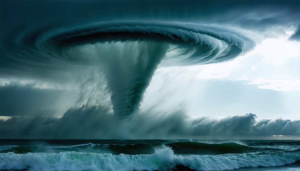
When you photograph a waterspout, you’re capturing measurable data that instruments often miss. High-resolution images let you measure funnel diameters ranging from 3 to 105 meters, with averages near 39 meters.
You’re also documenting wind behavior through visible spray rings, which indicate speeds exceeding 40 knots.
Spray rings visible in your shots aren’t just aesthetic—they’re evidence of winds surpassing 40 knots.
Your shutter speed matters here. Shooting at 1/500s or faster freezes rotational motion, letting you analyze structural detail with precision.
Strong color contrast between the funnel and surrounding sky also helps you distinguish intensity zones within the column.
Doppler Lidar data confirms wind speeds can reach 64 knots, but your photos provide the visual proof that validates those readings.
You’re not just chasing thrills—you’re collecting ground-truth evidence that fills critical gaps in meteorological datasets.
The Real Safety Risks of Chasing Waterspouts
Chasing waterspouts carries measurable, documented risks that demand serious operational planning. Weather patterns shift rapidly, compressing your decision-making window considerably. You’re steering marine environments where wind speeds can exceed 64 knots, threatening vessels, rigging, and personnel simultaneously.
Follow these safety protocols to reduce exposure:
- Maintain a half-mile minimum distance — this reduces injury risk by up to 60% and keeps you outside destructive wind radius.
- Monitor real-time meteorological data continuously — GPS and radar systems let you track proximity accurately and exit before conditions deteriorate.
- Use weather-sealed equipment with gyroscopic stabilizers — protecting gear ensures documentation continues without forcing dangerous repositioning maneuvers.
You’re pursuing for data and freedom, but miscalculating waterspout dynamics costs more than footage — it costs lives.
How Far Should You Stay From a Waterspout?
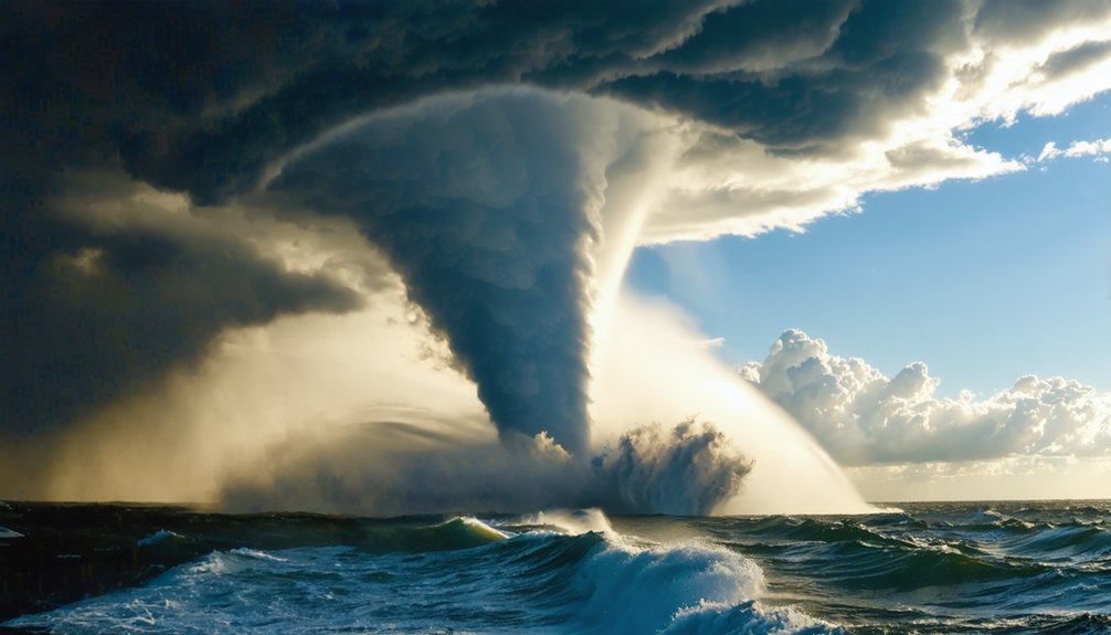
Maintaining a half-mile minimum distance from a waterspout isn’t arbitrary — it’s the threshold where injury risk drops by up to 60%. You’re operating in dynamic weather patterns where conditions shift faster than instinct allows.
At half a mile, you retain reaction time while capturing telephoto shots from 100–400mm ranges without compromising safety.
Storm tracking technology — GPS, radar overlays, Doppler systems — lets you monitor proximity with precision, so you’re never guessing your position relative to the vortex.
Waterspouts travel at 10–15 knots and shift direction unpredictably, meaning your escape window narrows fast if you’re under-distanced.
You want freedom of movement and quality footage — that half-mile buffer delivers both.
Violate it, and you’re trading data for danger.
Waterspout Photography Gear That Protects You and Your Shots
Your gear determines whether you walk away with publishable data or a ruined kit. Shooting waterspouts demands equipment that handles moisture, distance, and motion simultaneously. Smart lens selection and camera stabilization aren’t optional — they’re operational requirements.
- Lens Selection: Use a 100–400mm telephoto lens to capture structural details like spray rings from your mandatory half-mile safety perimeter without sacrificing resolution.
- Camera Stabilization: Deploy gyroscopic stabilizers to eliminate motion blur caused by wind gusts, ensuring every frame delivers measurable, publishable imagery.
- Weather Protection: Mount weather-sealed bodies and lenses to survive moisture-heavy environments, then set ISO between 100–400 and shutter speeds at 1/500s or faster to freeze the column’s rotation with precision.
Your equipment choices directly determine the scientific value of your documentation.
How Chasers Use Waterspout Photos to Teach Marine Hazard Risks
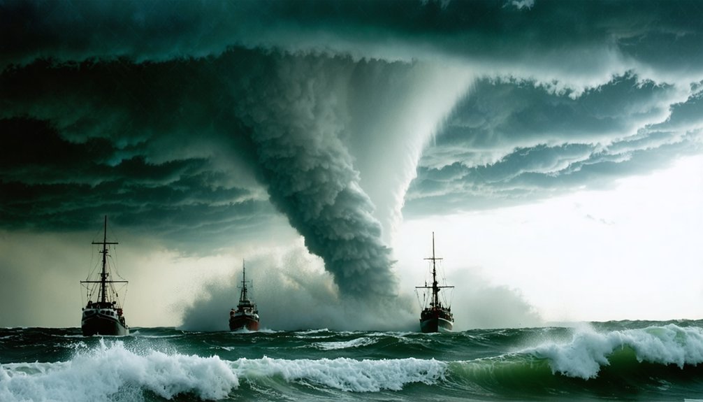
When you share waterspout photos with the public, you transform raw visual data into concrete safety education that statistics alone can’t achieve. Your images illustrate wind speeds exceeding 46 mph, structural damage to vessel rigging and docks, and the rotating column’s threat to watercraft and aircraft operating nearby.
Visualizing Marine Danger
How do storm chasers transform raw photographs into powerful marine safety tools? You see the answer in how visual evidence directly sharpens marine navigation decisions and coastal erosion awareness.
Waterspout photos reveal three critical danger markers:
- Spray rings confirming wind speeds exceeding 40 knots, signaling immediate threats to nearby watercraft and coastal structures.
- Funnel diameter measurements averaging 39 meters, giving you precise scale to understand destructive potential against docks and vessel rigging.
- Movement tracking data showing non-supercell waterspouts traveling 10–15 knots, helping you calculate safe evasion windows.
You’re not guessing when you study these images — you’re reading quantifiable evidence. Maintaining a half-mile distance reduces your injury risk by 60%, and these photographs reinforce exactly why that boundary isn’t negotiable.
Teaching Waterspout Safety
Storm chasers don’t stop at capturing marine hazard data — they convert those images into structured safety lessons that reach mariners, coastal residents, and aviation professionals. You’ll find these photos embedded in training programs, where historical records of waterspout behavior illustrate wind speeds exceeding 46 mph and funnel diameters reaching 105 meters. That visual precision transforms abstract meteorological data into actionable awareness.
Beyond raw documentation, artistic expression plays a deliberate role — compelling imagery commands attention, making safety messaging more effective than text-only reports. You can see how spray ring formations signal dangerous wind thresholds above 40 knots, helping you recognize escalating risk early.
Chasers distribute this visual intelligence across maritime safety networks, equipping you with evidence-based knowledge to maintain safe distances and make informed decisions before conditions deteriorate.
Why Waterspout Photography Still Fills Gaps Remote Sensing Cannot
Despite rapid advancements in Doppler radar and satellite imaging, photography and footage remain the most significant contribution chasers make to waterspout data collection. Remote sensing misses structural details your camera captures directly.
Historical analysis of waterspout imagery reveals patterns satellites simply can’t resolve independently.
Your photos fill three critical gaps:
- Spray ring documentation — Visual confirmation of wind speeds exceeding 40 knots, verified through structural details sensors routinely miss.
- Diameter precision — High-resolution footage enables measurements averaging 39 meters, spanning ranges from 3 to 105 meters total.
- Artistic interpretation — Ground-truth imagery distinguishes fair-weather waterspouts from tornadic types, data Doppler radar frequently misclassifies.
You retain the freedom to document what technology can’t autonomously capture, making your visual contribution scientifically irreplaceable.
Frequently Asked Questions
Can Waterspout Photos Be Submitted to Official Meteorological Databases for Research?
Yes, you can submit waterspout photos to official meteorological databases. Follow data submission protocols carefully, ensuring your images support waterspout classification research, filling critical gaps that radar and satellites can’t capture independently.
How Do Storm Chasers Legally Obtain Permits to Photograph Waterspouts Offshore?
Like steering uncharted waters, you’ll secure offshore permits by contacting the Coast Guard and maritime authorities. You must follow legal photography regulations, adhere to maritime laws, and monitor meteorological data for safe, compliant waterspout documentation offshore.
What Insurance Coverage Do Professional Waterspout Photographers Typically Carry During Expeditions?
You’ll typically carry liability insurance, equipment coverage for gear valued up to thousands, and marine expedition policies. Insurance requirements vary, but you’re protecting weather-sealed cameras, telephoto lenses, and stabilizers against moisture damage and maritime risks.
How Do Photographers Coordinate With Coast Guard Authorities Before Chasing Waterspouts?
Before you chase, you’ll notify coast guard authorities using standardized communication strategies and safety protocols—filing float plans, reporting GPS coordinates, and maintaining radio contact, ensuring you’re free to document waterspouts while minimizing maritime risk.
Are There Professional Certifications Available Specifically for Storm Chasing Photographers?
No dedicated storm photography certification programs exist specifically for chasers, but you’ll find relevant credentials through meteorology courses, drone licensing, and maritime safety training that’ll sharpen your technical skills and expand your professional freedom in the field.
References
- https://en.wikipedia.org/wiki/Waterspout
- https://www.reddit.com/r/stormchasing/comments/lvub71/how_important_are_storm_chasers_in_giving_data_or/
- https://crazystormchasers.com/the-art-of-capturing-waterspouts-on-camera/
- https://crazystormchasers.com/the-science-behind-chasing-waterspouts/
- https://oceanservice.noaa.gov/facts/waterspout.html
- https://crazystormchasers.com/chasing-waterspouts-responsibly-and-safely/
- https://www.weather.gov/key/waterspouts



